Hardley Dike
Sea, Estuary, Creek in Norfolk South Norfolk
England
Hardley Dike

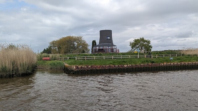
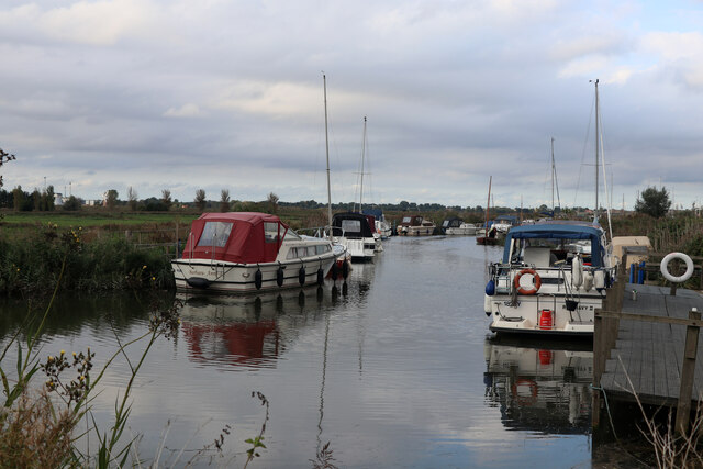
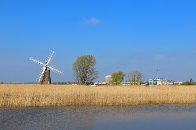
Hardley Dike is a picturesque waterway located in Norfolk, England. It is a tidal creek that flows into the River Yare, which eventually meets the North Sea. The creek is surrounded by stunning natural beauty, with marshes, reed beds, and grazing marshes lining its banks.
The tidal nature of Hardley Dike means that its water levels fluctuate throughout the day, creating a dynamic ecosystem that is home to a diverse range of plants and wildlife. The creek provides an important habitat for various bird species, including wading birds such as curlews and redshanks, as well as ducks and geese.
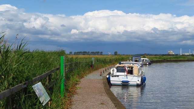
Boating and fishing enthusiasts are drawn to Hardley Dike due to its serene atmosphere and plentiful fishing opportunities. The creek is especially renowned for its good stocks of pike, perch, and roach, making it a popular spot for anglers looking to cast their lines.
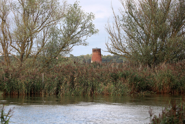
Hardley Dike also holds historical significance, as it was once an important transport route for the local area. In the past, the creek was used to transport goods to and from the nearby villages, and remnants of old wharfs and jetties can still be seen along its banks.
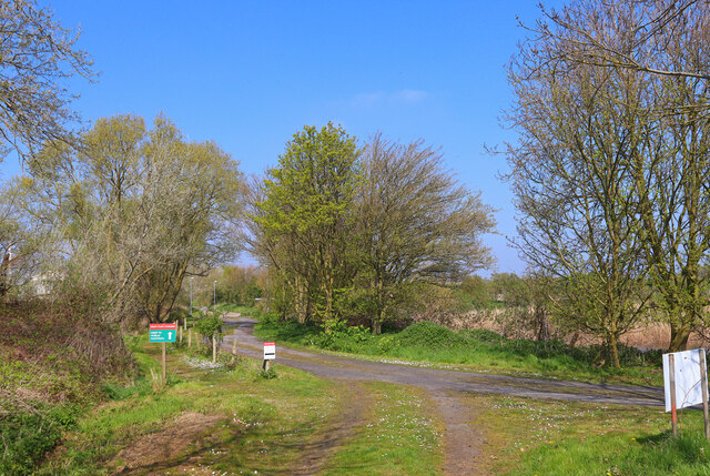
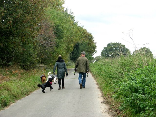
Visitors to Hardley Dike can enjoy leisurely walks along the footpaths that follow the creek, taking in the beautiful scenery and spotting wildlife along the way. The tranquil and unspoiled nature of this waterway makes it a hidden gem in Norfolk, attracting nature lovers and outdoor enthusiasts alike.
If you have any feedback on the listing, please let us know in the comments section below.
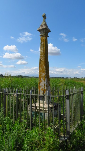
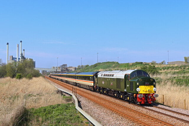
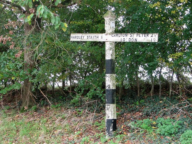
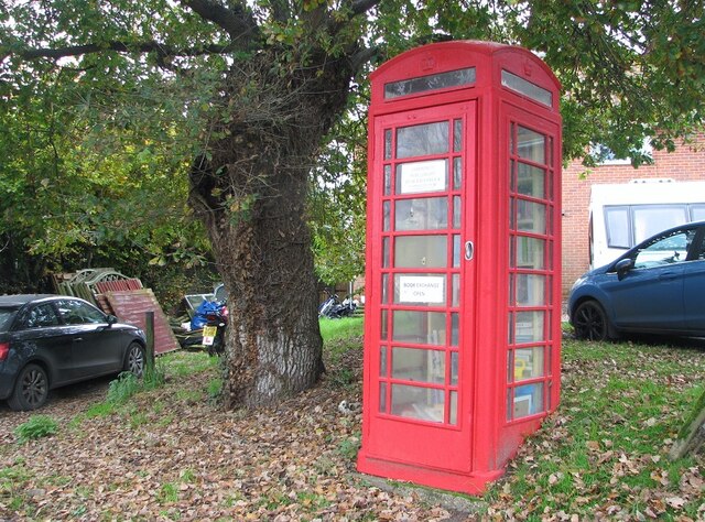
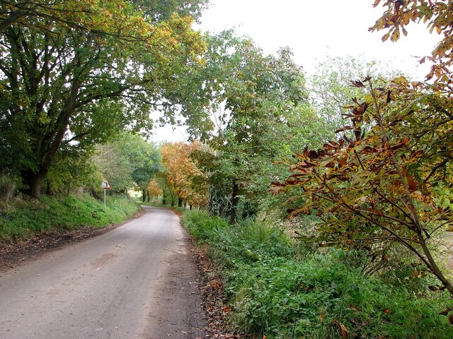
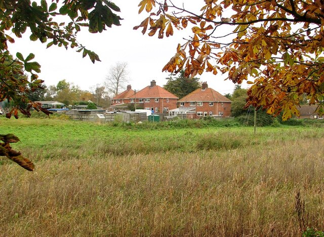
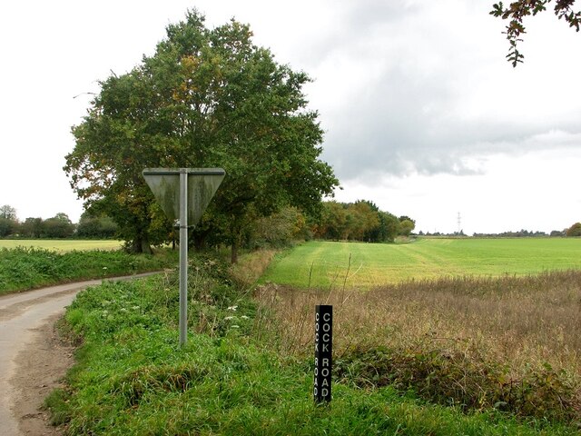
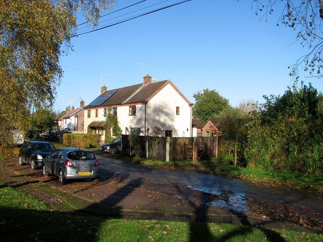
Hardley Dike Images
Images are sourced within 2km of 52.557965/1.523851 or Grid Reference TG3801. Thanks to Geograph Open Source API. All images are credited.

Hardley Dike is located at Grid Ref: TG3801 (Lat: 52.557965, Lng: 1.523851)
Administrative County: Norfolk
District: South Norfolk
Police Authority: Norfolk
What 3 Words
///bitters.exhaling.resists. Near Reedham, Norfolk
Nearby Locations
Related Wikis

River Chet
The River Chet is a small river in South Norfolk, England, a tributary of the River Yare. It rises in Poringland and flows eastwards through Alpington...
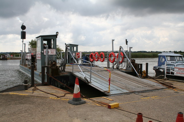
Reedham Ferry
Reedham Ferry is a vehicular chain ferry across the River Yare in the English county of Norfolk, in the Broads. The ferry crosses the river near the village...

Limpenhoe Meadows
Limpenhoe Meadows is a 12-hectare (30-acre) biological Site of Special Scientific Interest west of Reedham in Norfolk. It is part of the Broadland Ramsar...
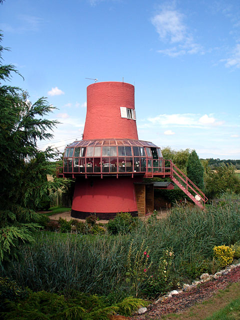
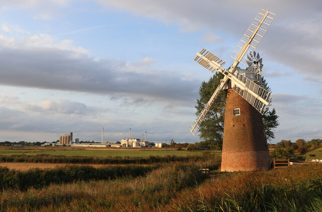
Reedham Ferry Drainage Mill
The Reedham Ferry Drainage Mill, also known as The Red Mill is a former drainage windmill found on the River Yare on The Broads in Norfolk. It is now a...
Nearby Amenities
Located within 500m of 52.557965,1.523851Have you been to Hardley Dike?
Leave your review of Hardley Dike below (or comments, questions and feedback).