Geldeston Dyke

Sea, Estuary, Creek in Norfolk South Norfolk

England

Geldeston Dyke

Serpentine wall at the White House, Barsham The wall, in conjunction with other more conventional plain walls form an enclosed garden
Serpentine wall at the White House, Barsham Credit: Adrian S Pye

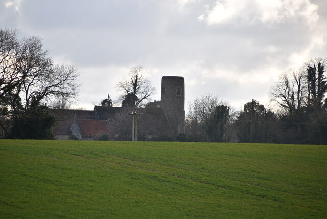
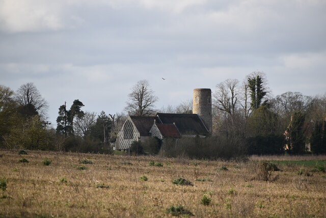
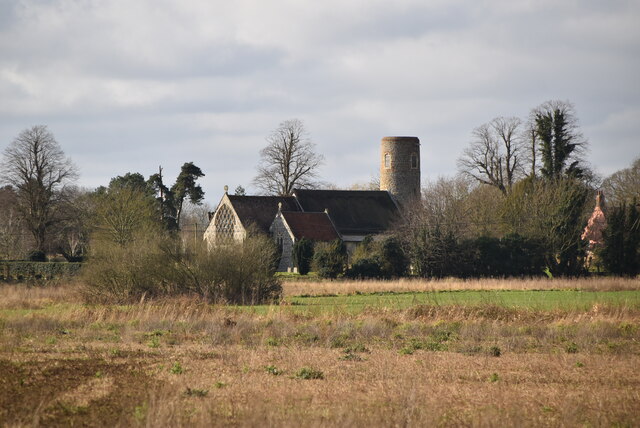
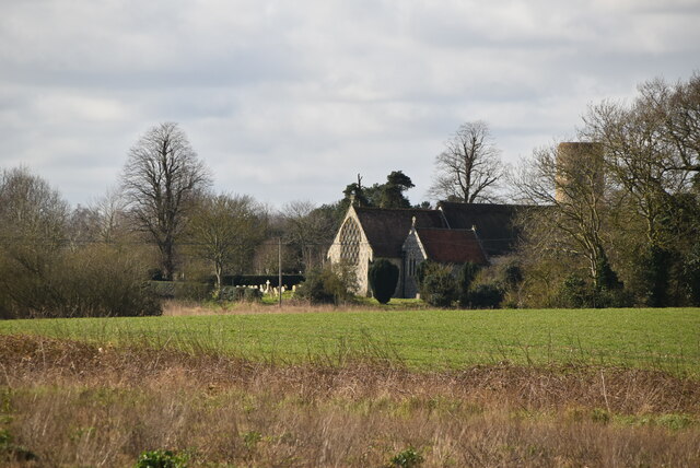
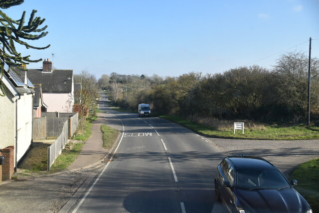
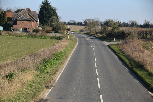
Geldeston Dyke is a picturesque waterway located in Norfolk, England. It is situated in the village of Geldeston and runs parallel to the River Waveney, approximately 3 miles south of Beccles. This dyke is an important natural feature in the area, attracting visitors who appreciate its serene beauty and diverse ecosystem.

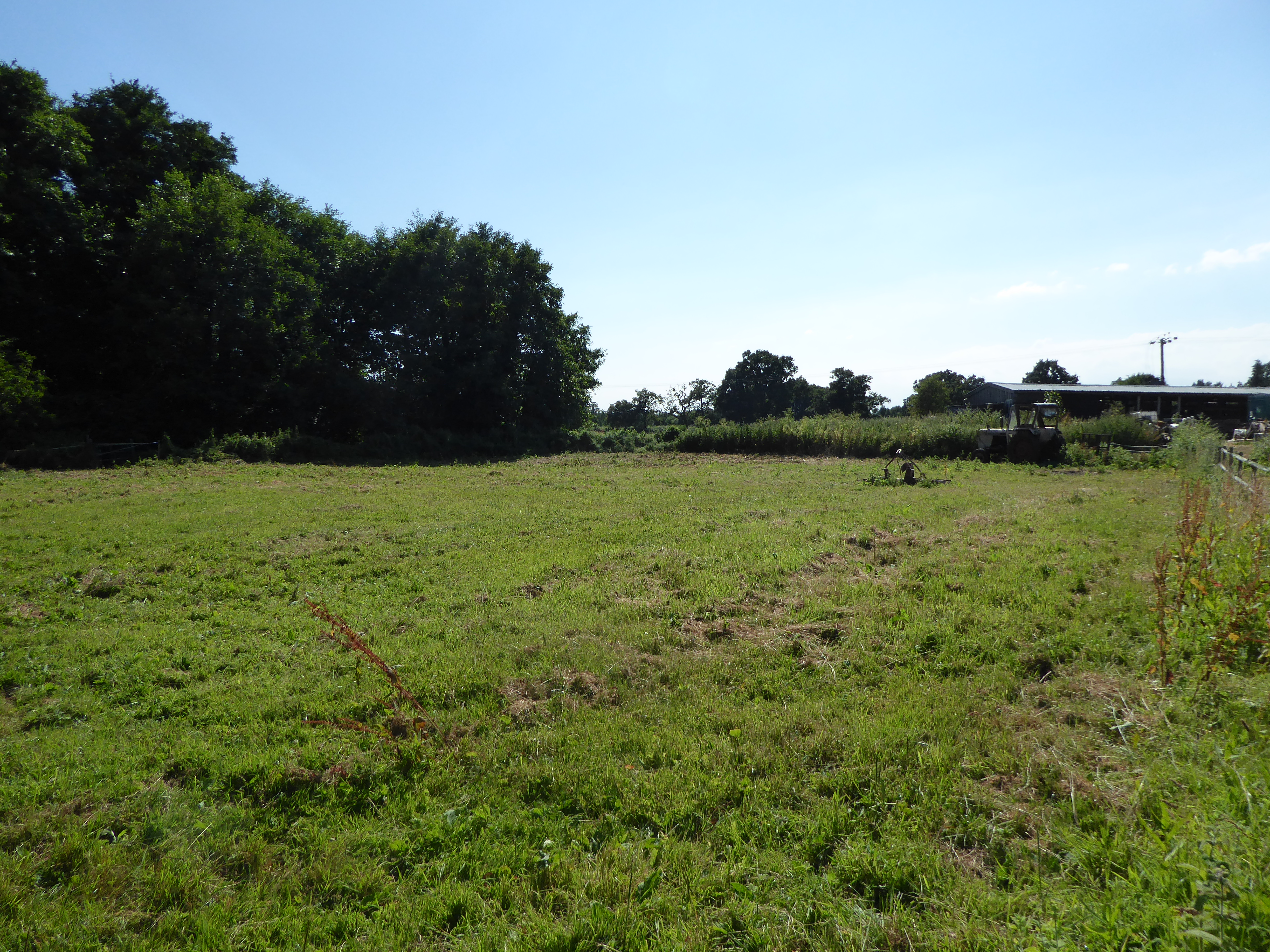
The Geldeston Dyke is a tidal creek, which means it is influenced by both the sea and the river. It stretches for about 2 miles and is lined with lush vegetation, including reeds, grasses, and various types of trees. The dyke is also home to a wide range of wildlife, such as ducks, swans, herons, and even otters, making it a haven for nature enthusiasts and birdwatchers.

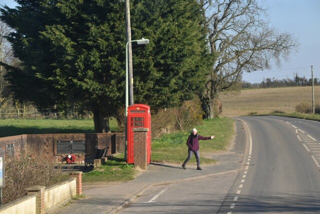
This waterway is navigable by small boats and canoes, providing an opportunity for leisurely exploration. The tranquil atmosphere and stunning views along the dyke make it a popular spot for boating, fishing, and picnicking. Additionally, the area surrounding Geldeston Dyke offers several walking trails, allowing visitors to fully immerse themselves in the beauty of the Norfolk countryside.

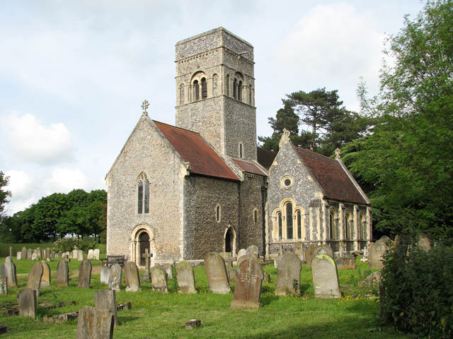
The dyke is also of historical significance, as it played a vital role in the transportation of goods during the 19th century. It was once used to transport coal, timber, and other commodities to nearby towns and villages.

In summary, Geldeston Dyke is a charming waterway in Norfolk, offering a peaceful escape for nature lovers, boating enthusiasts, and history buffs alike.

If you have any feedback on the listing, please let us know in the comments section below.

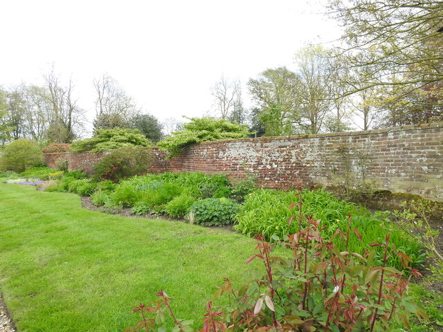
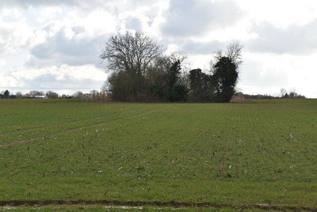
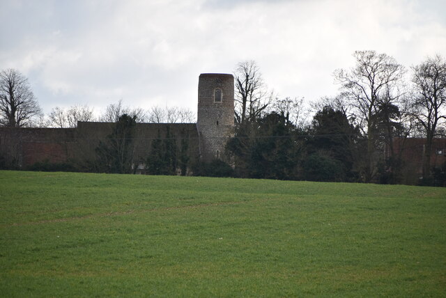
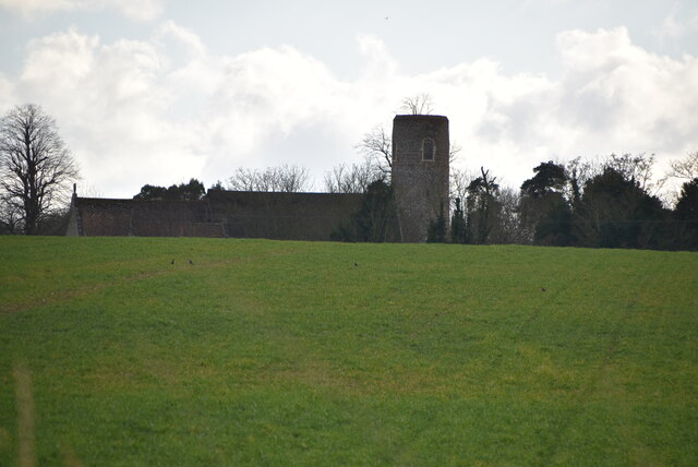
Geldeston Dyke Images

Images are sourced within 2km of 52.466735/1.5187322 or Grid Reference TM3991. Thanks to Geograph Open Source API. All images are credited.

Serpentine wall at the White House, Barsham The wall, in conjunction with other more conventional plain walls form an enclosed garden
Serpentine wall at the White House, Barsham
The wall, in conjunction with other more conventional plain walls form an enclosed garden
Wooded pond
Wooded pond
Church of Holy Trinity Grade I listed. <span class="nowrap"><a title="https://historicengland.org.uk/listing/the-list/list-entry/1032028" rel="nofollow ugc noopener" href="https://historicengland.org.uk/listing/the-list/list-entry/1032028">Link</a><img style="margin-left:2px;" alt="External link" title="External link - shift click to open in new window" src="https://s1.geograph.org.uk/img/external.png" width="10" height="10"/></span> 
<span class="nowrap"><a title="http://www.suffolkchurches.co.uk/barsham.html" rel="nofollow ugc noopener" href="http://www.suffolkchurches.co.uk/barsham.html">Link</a><img style="margin-left:2px;" alt="External link" title="External link - shift click to open in new window" src="https://s1.geograph.org.uk/img/external.png" width="10" height="10"/></span>
Church of Holy Trinity
Grade I listed. LinkExternal link LinkExternal link
Holy Trinity Church Grade I listed. <span class="nowrap"><a title="https://historicengland.org.uk/listing/the-list/list-entry/1032028" rel="nofollow ugc noopener" href="https://historicengland.org.uk/listing/the-list/list-entry/1032028">Link</a><img style="margin-left:2px;" alt="External link" title="External link - shift click to open in new window" src="https://s1.geograph.org.uk/img/external.png" width="10" height="10"/></span> 
<span class="nowrap"><a title="http://www.suffolkchurches.co.uk/barsham.html" rel="nofollow ugc noopener" href="http://www.suffolkchurches.co.uk/barsham.html">Link</a><img style="margin-left:2px;" alt="External link" title="External link - shift click to open in new window" src="https://s1.geograph.org.uk/img/external.png" width="10" height="10"/></span>
Holy Trinity Church
Grade I listed. LinkExternal link LinkExternal link
Grave of Adrian and Marjorie Bell Barsham Holy Trinity churchyard.

At the age of 19 he explored the countryside in Hundon, Suffolk, to learn about agriculture, and he farmed in various locations over the next sixty years, ending up at Crake Hall at Barsham <a title="https://www.geograph.org.uk/photo/2157926" href="https://www.geograph.org.uk/photo/2157926">Link</a> , until his death. His first book, Corduroy was an immediate best-seller and was followed by two more books on the countryside, Silver Ley in 1931 and The Cherry Tree in 1932, the three books forming a ruralist farm trilogy. He wrote the "Countryman’s Notebook" column in the Eastern Daily Press from 1950, and produced over twenty other books on the countryside, including Apple Acre (1942), Sunrise to Sunset (1944), The Budding Morrow (1946), The Flower and the Wheel (1949), Music in the Morning, (1954), A Suffolk Harvest (1956), the autobiographical My Own Master (1961) and The Green Bond (1976). Between 1930 and 1978, he set around 5,000 puzzles for The Times, and is credited with helping to establish its distinctive cryptic clue style.
Grave of Adrian and Marjorie Bell
Barsham Holy Trinity churchyard. At the age of 19 he explored the countryside in Hundon, Suffolk, to learn about agriculture, and he farmed in various locations over the next sixty years, ending up at Crake Hall at Barsham Link , until his death. His first book, Corduroy was an immediate best-seller and was followed by two more books on the countryside, Silver Ley in 1931 and The Cherry Tree in 1932, the three books forming a ruralist farm trilogy. He wrote the "Countryman’s Notebook" column in the Eastern Daily Press from 1950, and produced over twenty other books on the countryside, including Apple Acre (1942), Sunrise to Sunset (1944), The Budding Morrow (1946), The Flower and the Wheel (1949), Music in the Morning, (1954), A Suffolk Harvest (1956), the autobiographical My Own Master (1961) and The Green Bond (1976). Between 1930 and 1978, he set around 5,000 puzzles for The Times, and is credited with helping to establish its distinctive cryptic clue style.
Holy Trinity Church Grade I listed. <span class="nowrap"><a title="https://historicengland.org.uk/listing/the-list/list-entry/1032028" rel="nofollow ugc noopener" href="https://historicengland.org.uk/listing/the-list/list-entry/1032028">Link</a><img style="margin-left:2px;" alt="External link" title="External link - shift click to open in new window" src="https://s1.geograph.org.uk/img/external.png" width="10" height="10"/></span> 
<span class="nowrap"><a title="http://www.suffolkchurches.co.uk/barsham.html" rel="nofollow ugc noopener" href="http://www.suffolkchurches.co.uk/barsham.html">Link</a><img style="margin-left:2px;" alt="External link" title="External link - shift click to open in new window" src="https://s1.geograph.org.uk/img/external.png" width="10" height="10"/></span>
Holy Trinity Church
Grade I listed. LinkExternal link LinkExternal link
Holy Trinity Church <span class="nowrap"><a title="https://en.wikipedia.org/wiki/Barsham,_Suffolk" rel="nofollow ugc noopener" href="https://en.wikipedia.org/wiki/Barsham,_Suffolk">Link</a><img style="margin-left:2px;" alt="External link" title="External link - shift click to open in new window" src="https://s1.geograph.org.uk/img/external.png" width="10" height="10"/></span>
Holy Trinity Church
Entering Shipmeadow, B1062 <span class="nowrap"><a title="https://www.sabre-roads.org.uk/wiki/index.php?title=B1062" rel="nofollow ugc noopener" href="https://www.sabre-roads.org.uk/wiki/index.php?title=B1062">Link</a><img style="margin-left:2px;" alt="External link" title="External link - shift click to open in new window" src="https://s1.geograph.org.uk/img/external.png" width="10" height="10"/></span>
Entering Shipmeadow, B1062
Entering Barsham, B1062 <span class="nowrap"><a title="https://www.sabre-roads.org.uk/wiki/index.php?title=B1062" rel="nofollow ugc noopener" href="https://www.sabre-roads.org.uk/wiki/index.php?title=B1062">Link</a><img style="margin-left:2px;" alt="External link" title="External link - shift click to open in new window" src="https://s1.geograph.org.uk/img/external.png" width="10" height="10"/></span>
Entering Barsham, B1062
Telephone box, Barsham <span class="nowrap"><a title="https://en.wikipedia.org/wiki/Barsham,_Suffolk" rel="nofollow ugc noopener" href="https://en.wikipedia.org/wiki/Barsham,_Suffolk">Link</a><img style="margin-left:2px;" alt="External link" title="External link - shift click to open in new window" src="https://s1.geograph.org.uk/img/external.png" width="10" height="10"/></span>
Telephone box, Barsham
Show me another place!

Geldeston Dyke is located at Grid Ref: TM3991 (Lat: 52.466735, Lng: 1.5187322)

Administrative County: Norfolk

District: South Norfolk

Police Authority: Norfolk

What 3 Words

///saucepan.cuff.inefficient. Near Beccles, Suffolk

Related Wikis

Geldeston

Geldeston is a village and civil parish in the English county of Norfolk. The village is located 2.5 miles (4.0 km) north-west of Beccles and 14 miles...

Geldeston railway station

Geldeston (also Geldeston Halt) was a station on the Waveney Valley Line serving the village of Geldeston, Norfolk. It was operational for passenger services...

Geldeston Meadows

Geldeston Meadows is a 14-hectare (35-acre) biological Site of Special Scientific Interest near Geldeston in Norfolk. It is part of the Broadland Ramsar...
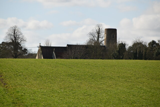
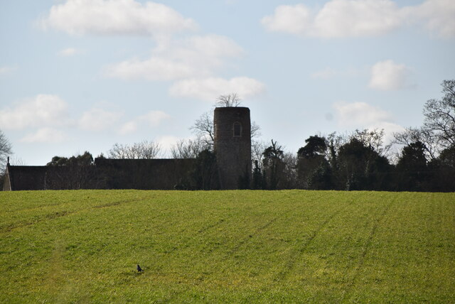
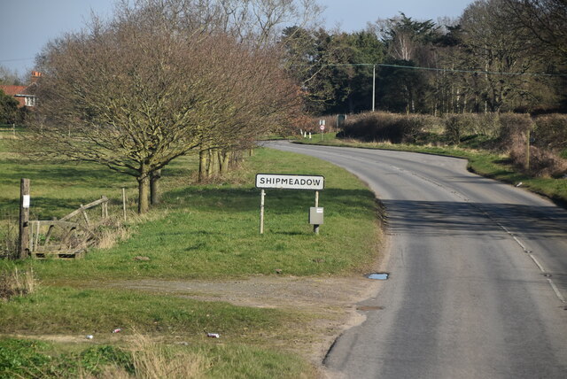
Shipmeadow

Shipmeadow is a village and civil parish located in the north of the English county of Suffolk. It is in the East Suffolk district, 2.5 miles (4.0 km)...

Barsham, Suffolk

Barsham is a village and civil parish in the East Suffolk district of the English county of Suffolk. It is about 2 miles (3.2 km) west of Beccles, south...

Leet Hill, Kirby Cane

Leet Hill, Kirby Cane is a 6.5-hectare (16-acre) geological Site of Special Scientific Interest in Kirby Cane in Norfolk. It is a Geological Conservation...

Haughey Air AgustaWestland AW139 crash

On 13 March 2014, an AgustaWestland AW139 helicopter of Haughey Air crashed shortly after taking off at night in fog from Gillingham, Norfolk, United Kingdom...

Gillingham, Norfolk

Gillingham ( GHIL-ing-əm) is a small village and civil parish in the English county of Norfolk. The villages is located 1.5 miles (2.4 km) north-west...

Nearby Amenities

Located within 500m of 52.466735,1.5187322
Entrance: yes
Lat/Long: 52.4636076/1.5168995
Access: yes
Barrier: lift_gate
Lift Gate Type: single
Material: metal
Lat/Long: 52.4652791/1.5165904
Disused: yes
Waterway: lock_gate
Lat/Long: 52.4631588/1.5170166
FIXME: Incomplete
Lat/Long: 52.4627842/1.518395
Entrance: main
Lat/Long: 52.4636267/1.5170524
Bench
Backrest: yes
Colour: grey
Inscription: Ben Suter / 1980-2005
Inscription 2: Benjamin Richard John Suter / Died 2nd August 2005 / Aged 24 Years
Material: wood
Lat/Long: 52.4631139/1.5157351
FIXME: Incomplete
Lat/Long: 52.4639327/1.516365
Power: pole
Lat/Long: 52.4706403/1.5181142
Power: pole
Lat/Long: 52.4704409/1.5198818
Power: pole
Lat/Long: 52.4702563/1.521644
Power: pole
Lat/Long: 52.4700635/1.5234169
Life Ring
Emergency: life_ring
Support: fence
Lat/Long: 52.4633843/1.516818
Geldeston (or Shipmeadow) Lock
Board Type: history
Information: board
Tourism: information
Lat/Long: 52.4634059/1.516759
Information: guidepost
Tourism: information
Lat/Long: 52.4638251/1.5167537
Parking
Access: yes
Fee: no
Note: No overnight parking
Parking: surface
Smoothness: good
Supervised: no
Surface: ground
Lat/Long: 52.4654041/1.5164526
The data included in this document is from www.openstreetmap.org. The data is made available under ODbL.

Have you been to Geldeston Dyke?

Leave your review of Geldeston Dyke below (or comments, questions and feedback).