East Gully
Sea, Estuary, Creek in Kent Thanet
England
East Gully
East Gully is a picturesque coastal area located in Kent, England. Situated along the southeastern coast, it encompasses a sea, estuary, and creek, making it a diverse and captivating natural landscape. The gully is nestled between two cliffs, providing a stunning backdrop of rugged beauty and offering a sense of tranquility to visitors.
The sea at East Gully is known for its crystal-clear waters and sandy beaches. It attracts both locals and tourists who enjoy swimming, sunbathing, and engaging in various water activities such as surfing or paddleboarding. The sea is relatively calm, making it ideal for families with young children.
Moving inland, the estuary of East Gully presents a different scene. It is a tidal inlet where the river meets the sea, creating a unique ecosystem that supports a rich diversity of wildlife. The estuary is home to numerous bird species, including herons, egrets, and oystercatchers, making it a popular spot for birdwatchers and nature enthusiasts.
Further inland, the creek at East Gully winds its way through marshes and grasslands, offering a serene environment for walks and exploration. The creek is lined with reeds and other vegetation, providing a habitat for various aquatic plants and animals. It is also a popular spot for fishing, with anglers often casting their lines in search of sea bass, flounder, and mullet.
Overall, East Gully in Kent is a remarkable coastal area that showcases the natural beauty of the region. Its combination of sea, estuary, and creek creates a diverse and captivating landscape that attracts visitors of all ages looking to enjoy the tranquility and stunning vistas it offers.
If you have any feedback on the listing, please let us know in the comments section below.
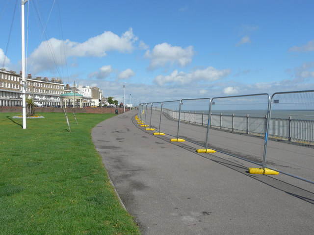
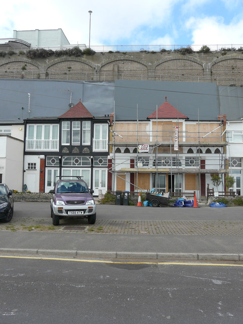
East Gully Images
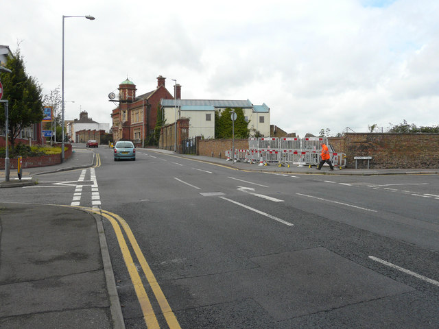
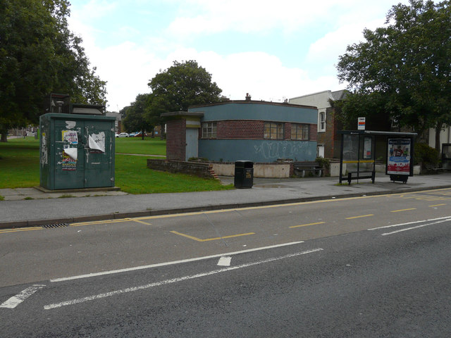
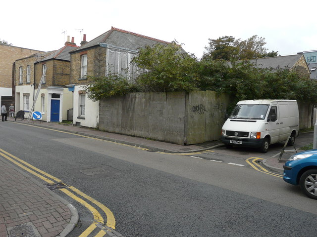
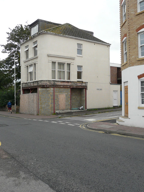
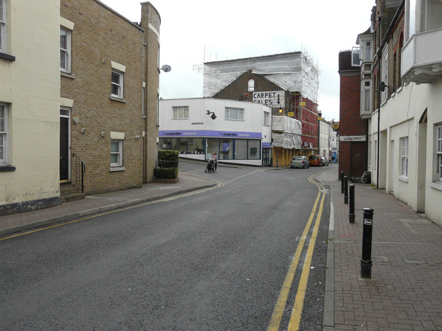
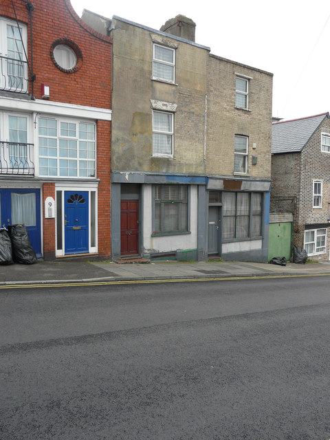
Images are sourced within 2km of 51.33084/1.4233029 or Grid Reference TR3864. Thanks to Geograph Open Source API. All images are credited.
East Gully is located at Grid Ref: TR3864 (Lat: 51.33084, Lng: 1.4233029)
Administrative County: Kent
District: Thanet
Police Authority: Kent
What 3 Words
///hooks.hurt.happen. Near Ramsgate, Kent
Nearby Locations
Related Wikis

Ramsgate Maritime Museum
Ramsgate Maritime Museum is a maritime museum in Ramsgate, Kent, England, that describes the maritime history of East Kent. The museum is situated in the...

Sundowner (yacht)
Sundowner is a motor yacht formerly owned by Charles Lightoller, who was Second Officer aboard the RMS Titanic for her ill-fated maiden voyage in April...

ST Cervia
ST Cervia was built in 1946 as a seagoing tug for use as a fleet auxiliary by Alexandra Hall & Company Ltd of Aberdeen, Scotland. Today she is a floating...
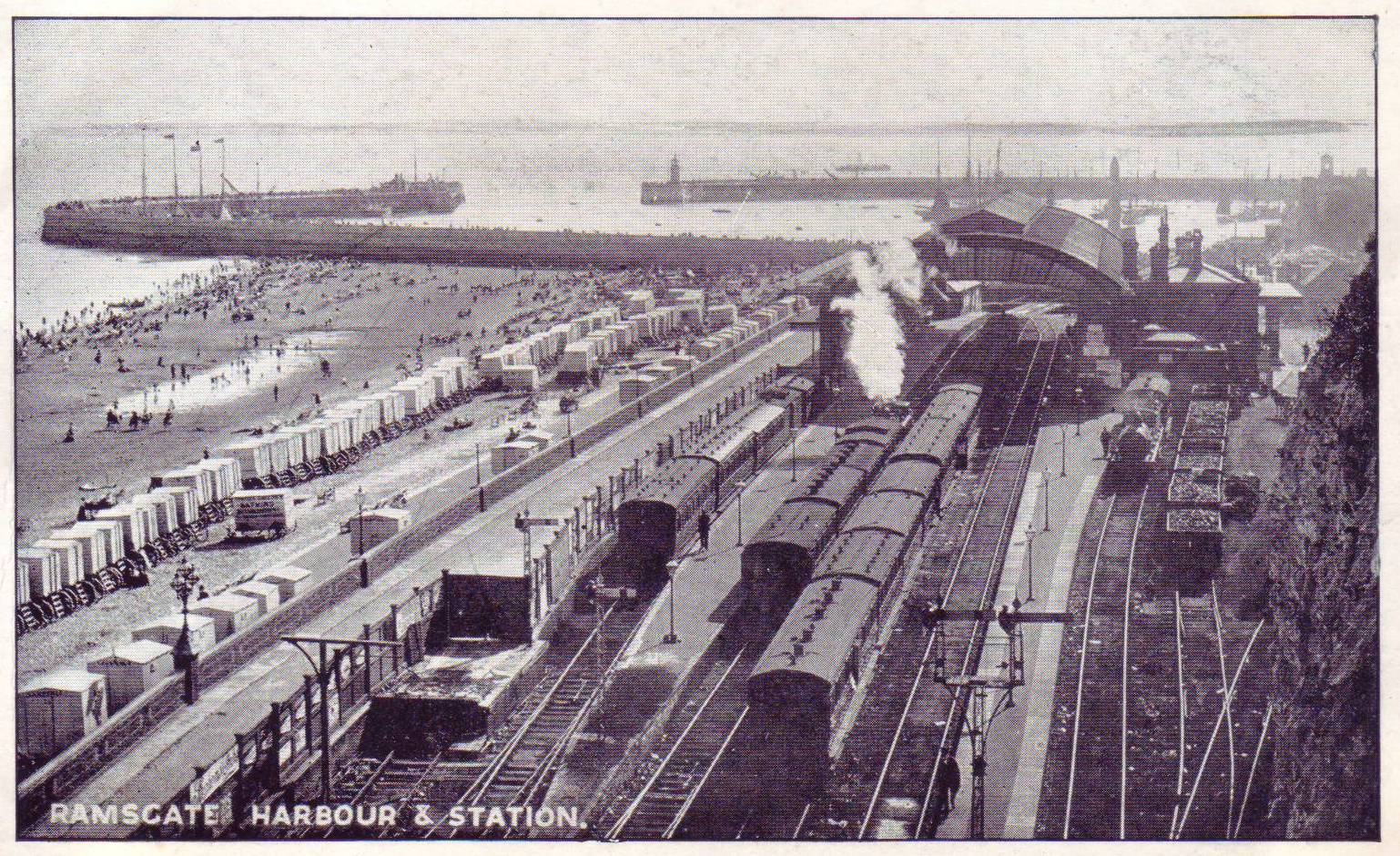
Ramsgate Harbour railway station
Ramsgate Harbour railway station was a railway station in Ramsgate, in the Thanet district of Kent, England. Opened in 1863 as part of the Kent Coast...
Nearby Amenities
Located within 500m of 51.33084,1.4233029Have you been to East Gully?
Leave your review of East Gully below (or comments, questions and feedback).