Ramsgate Sands
Beach in Kent Thanet
England
Ramsgate Sands
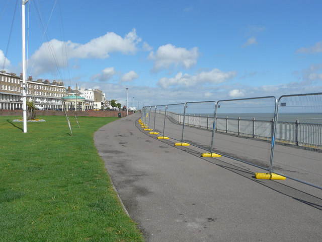
Ramsgate Sands is a picturesque beach located in the coastal town of Ramsgate, Kent, in the southeastern part of England. Stretching over a mile, it is a popular destination for locals and tourists alike. The beach boasts a wide expanse of golden sand, which is meticulously cleaned and maintained, providing a safe and clean environment for visitors.
Ramsgate Sands offers an array of amenities to cater to the needs of beachgoers. There are lifeguards stationed along the beach, ensuring the safety of swimmers. Additionally, the beach provides ample facilities such as toilets, showers, and changing rooms, making it convenient for visitors to freshen up after a dip in the sea.
The beach is also well-equipped for recreational activities. It offers designated areas for beach volleyball, football, and other sports, attracting enthusiasts of all ages. Furthermore, there are numerous beach huts available for rent, allowing visitors to relax and enjoy the scenic beauty of the surroundings.
Ramsgate Sands boasts stunning views of the English Channel, with occasional sightings of passing ships and ferries. The beach is also surrounded by an attractive promenade, lined with cafes, restaurants, and shops, offering a range of local cuisine and souvenirs.
Access to Ramsgate Sands is convenient, with ample parking available nearby and regular public transportation links. The beach is easily accessible for individuals with disabilities, thanks to ramps and accessible facilities.
Overall, Ramsgate Sands is a charming beach destination, offering a perfect blend of natural beauty, recreational opportunities, and convenient amenities.
If you have any feedback on the listing, please let us know in the comments section below.
Ramsgate Sands Images
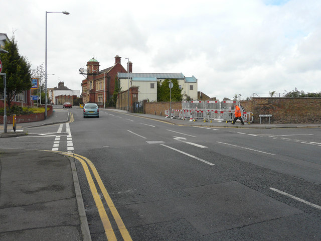
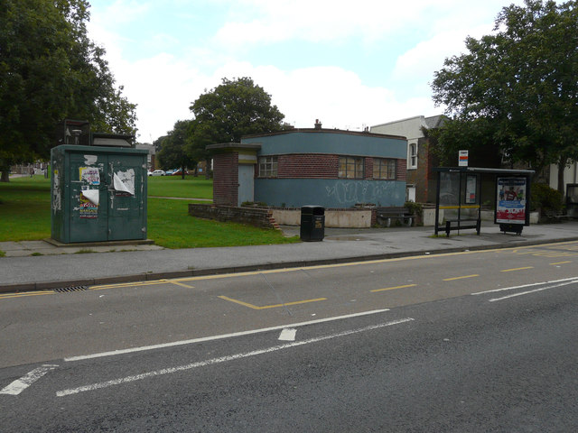
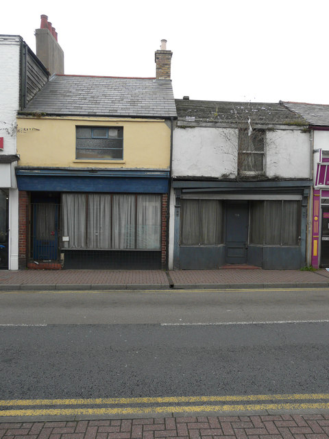
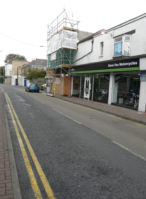
Images are sourced within 2km of 51.333654/1.4270308 or Grid Reference TR3864. Thanks to Geograph Open Source API. All images are credited.
Ramsgate Sands is located at Grid Ref: TR3864 (Lat: 51.333654, Lng: 1.4270308)
Administrative County: Kent
District: Thanet
Police Authority: Kent
What 3 Words
///sleep.budget.zoom. Near Ramsgate, Kent
Nearby Locations
Related Wikis
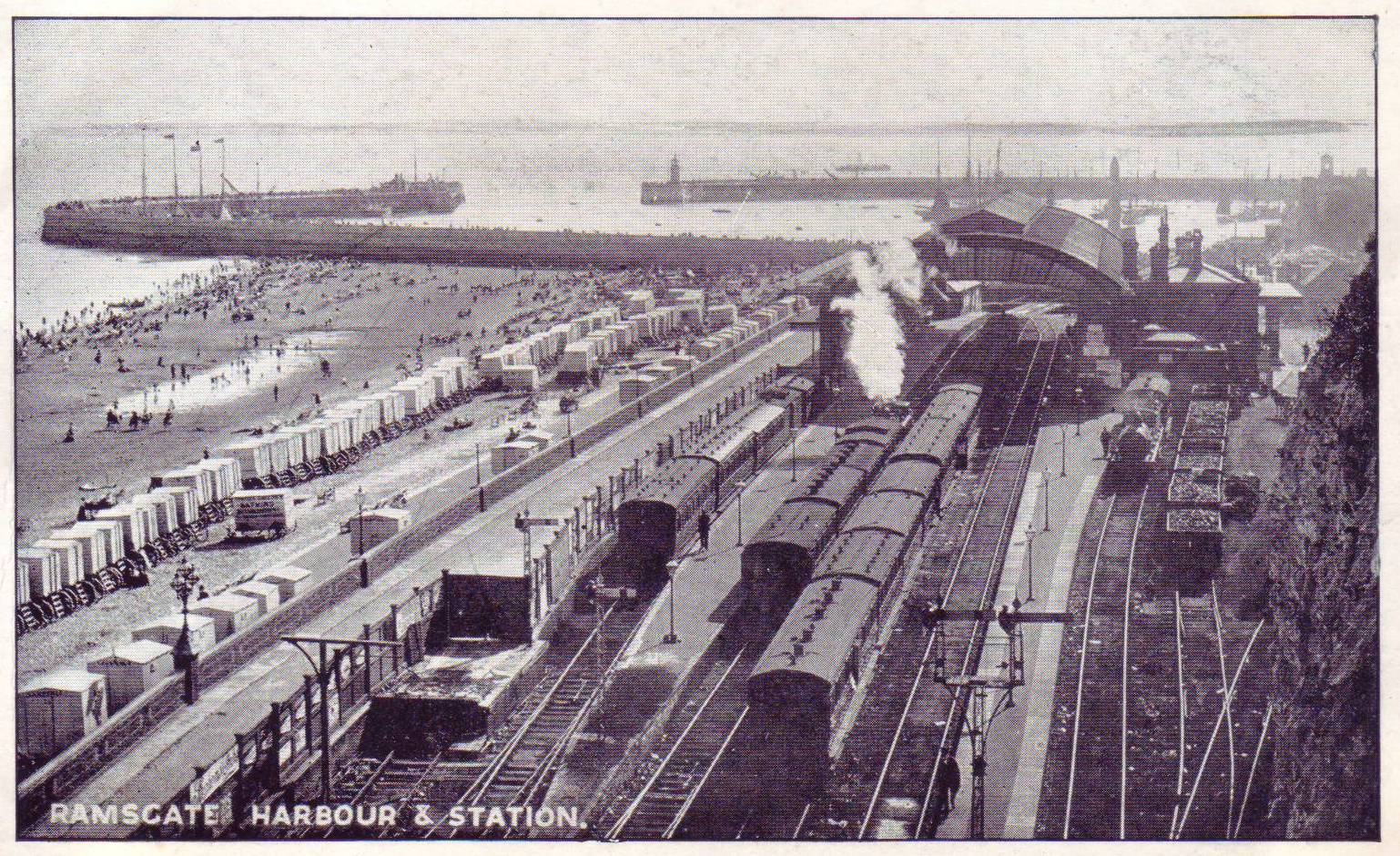
Ramsgate Harbour railway station
Ramsgate Harbour railway station was a railway station in Ramsgate, in the Thanet district of Kent, England. Opened in 1863 as part of the Kent Coast...
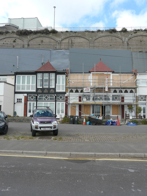
The Granville Hotel, Ramsgate
The Granville Hotel, Ramsgate, Kent, on the southeast coast of England, was a former hotel designed by Edward Welby Pugin, son of Augustus Pugin. The Granville...
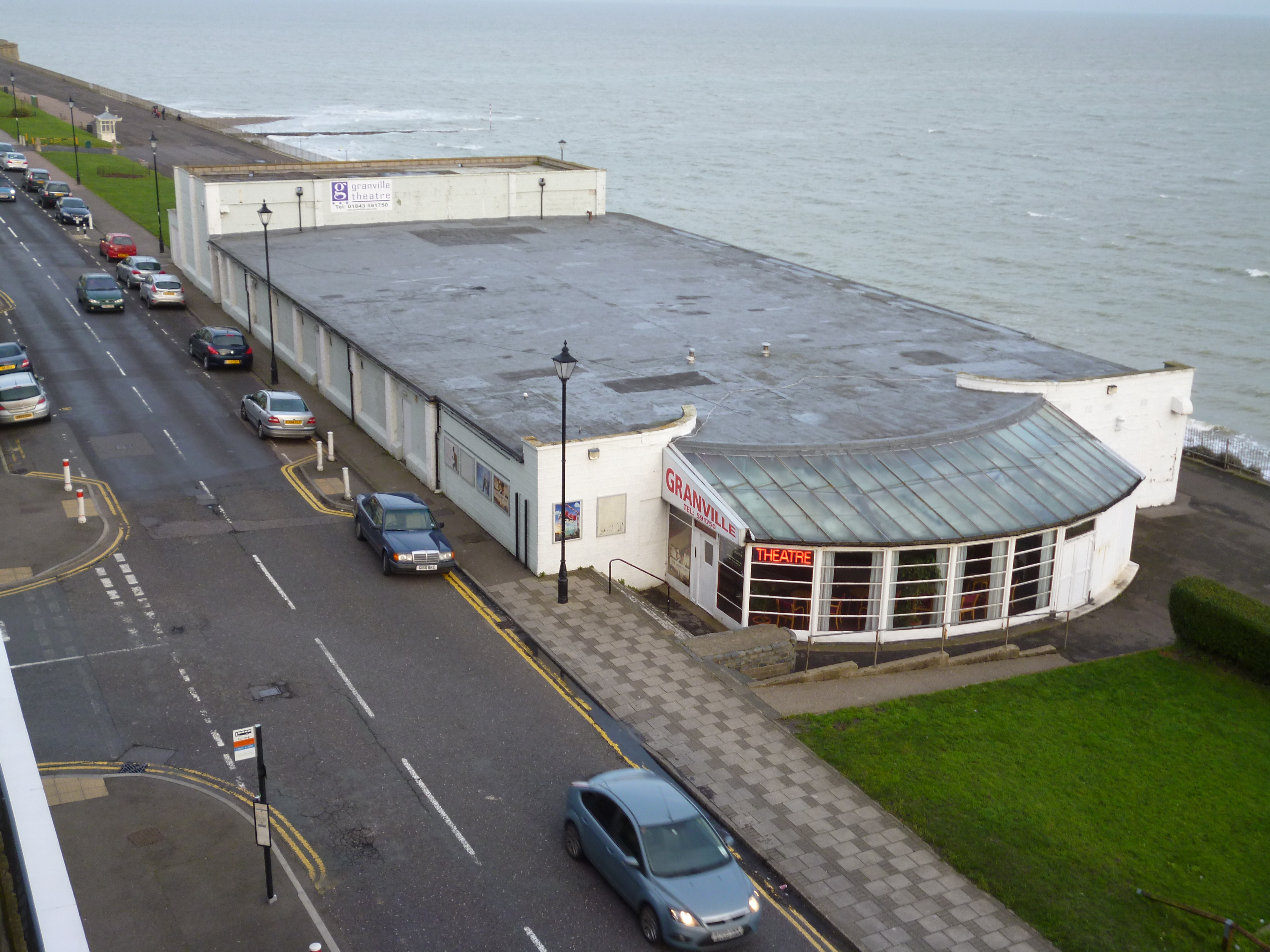
Granville Theatre, Ramsgate
The Granville Theatre complex is located in Victoria Parade, Ramsgate, Kent, and is the town's sole multi-purpose entertainment venue. The theatre derived...
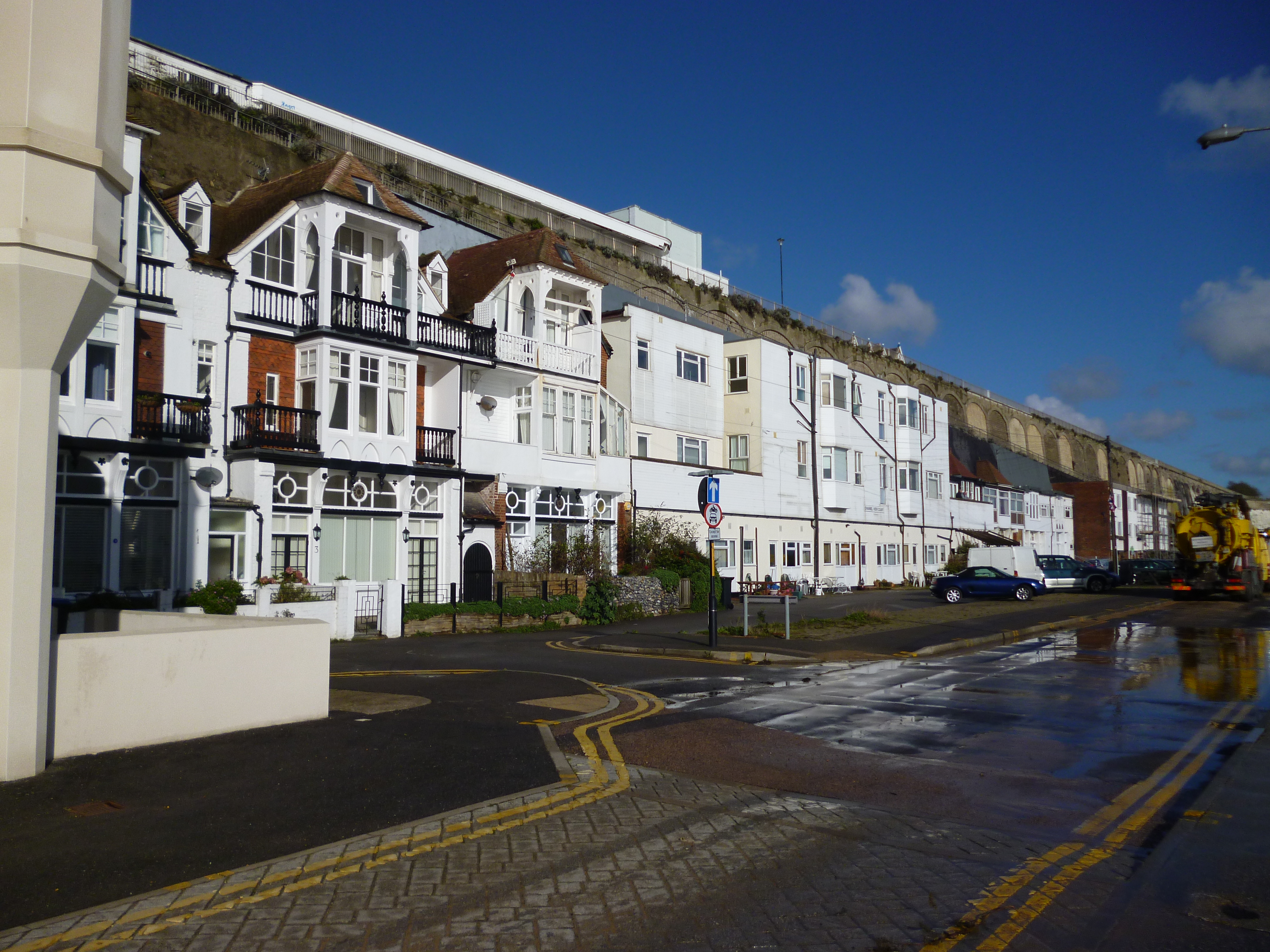
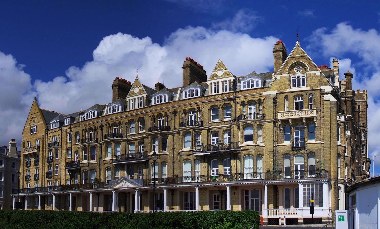
The Granville Marina
The Granville Marina is a street in Ramsgate, Kent. It was originally a parade of small shops, tea rooms and houses built in 1877 in the Old English style...
Nearby Amenities
Located within 500m of 51.333654,1.4270308Have you been to Ramsgate Sands?
Leave your review of Ramsgate Sands below (or comments, questions and feedback).