Hardley Street
Settlement in Norfolk South Norfolk
England
Hardley Street
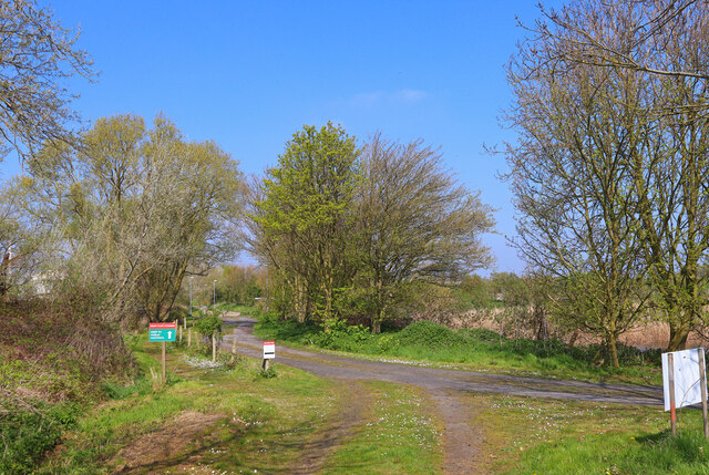
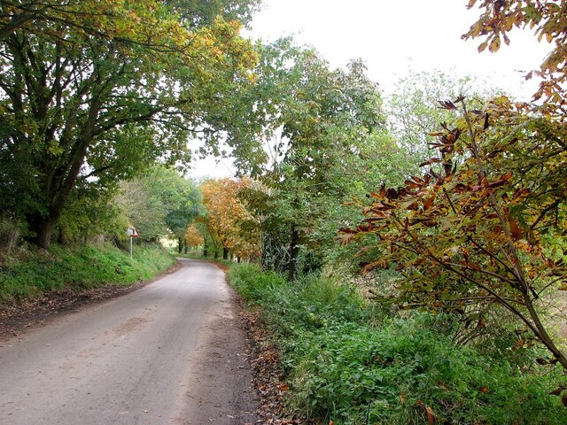
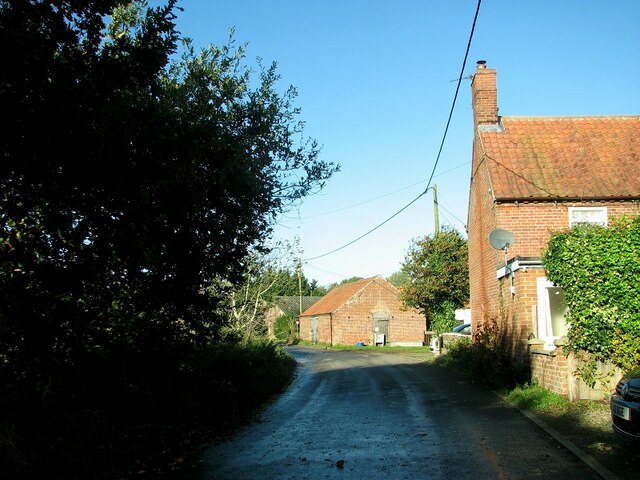
Hardley Street is a small rural village located in the county of Norfolk, England. Situated approximately 14 miles south-east of Norwich, it falls within the South Norfolk district. The village is nestled amidst picturesque countryside and is known for its tranquility and natural beauty.
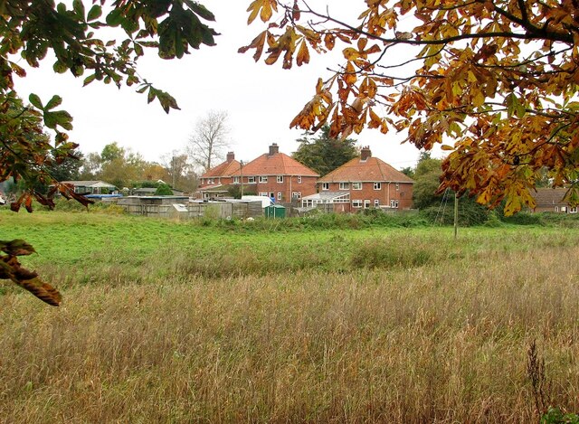
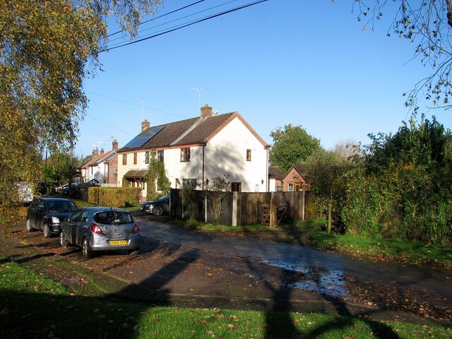
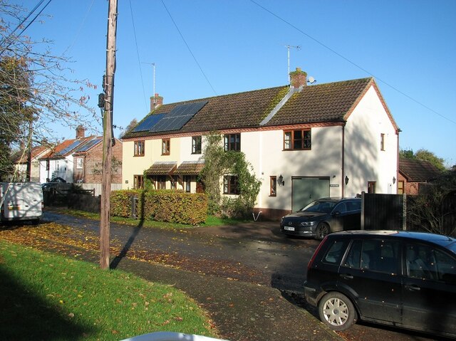
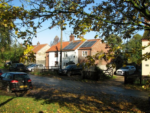
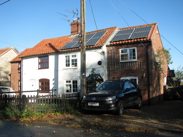
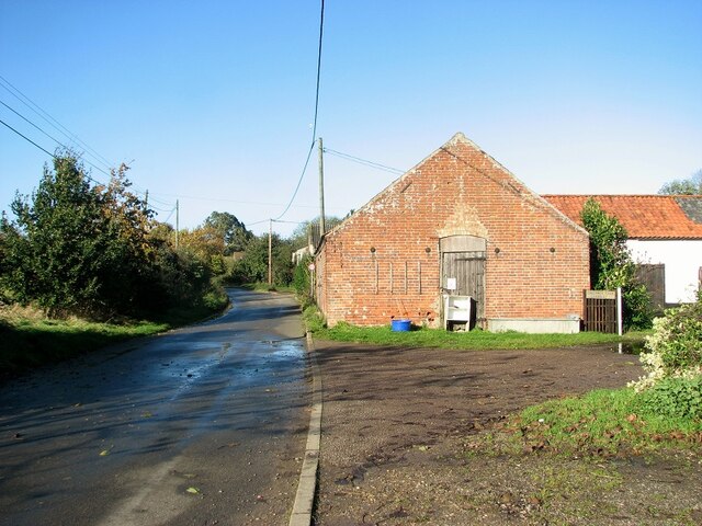
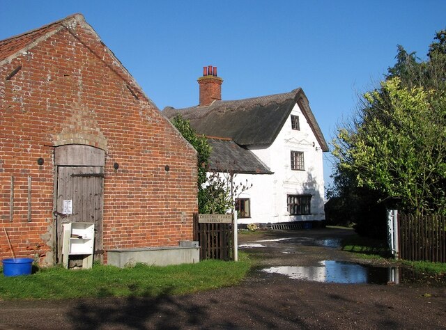
Hardley Street is home to a close-knit community, with a population of around 500 residents. The village is characterized by its charming, traditional cottages, many of which date back to the 18th and 19th centuries. The architecture and design of the buildings add to the village's idyllic charm and attract visitors who appreciate its historical significance.
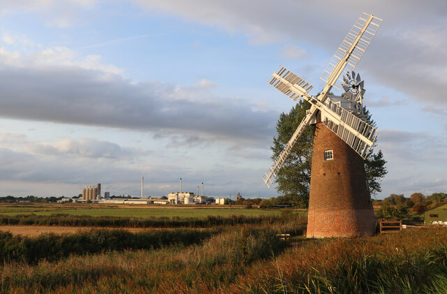
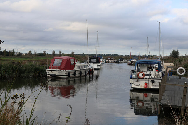
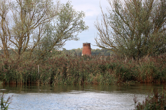
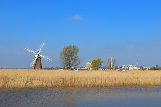
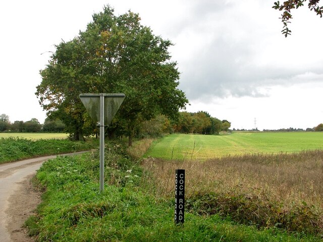
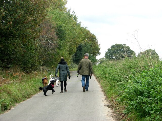
The village is surrounded by stunning natural landscapes, including vast fields, meadows, and the nearby River Yare. The river provides opportunities for leisure activities such as boating, fishing, and scenic walks along its banks. The peacefulness and serenity of the countryside make it an ideal place for nature enthusiasts and those seeking a break from the hustle and bustle of city life.
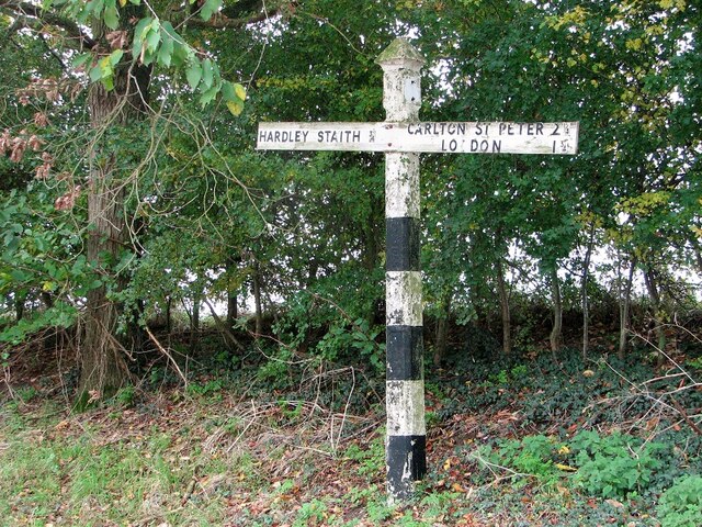
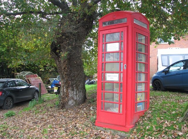
Although small in size, Hardley Street offers some essential amenities such as a village hall and a local pub, providing a hub for social gatherings and community events. The village is also conveniently located near larger towns, such as Loddon and Beccles, where residents can access a wider range of services and amenities.
Overall, Hardley Street is a charming and tranquil village that offers a close-knit community, stunning natural landscapes, and a peaceful countryside setting. It is a perfect destination for those seeking a slower pace of life and an appreciation for the beauty of rural England.
If you have any feedback on the listing, please let us know in the comments section below.
Hardley Street Images
Images are sourced within 2km of 52.55688/1.512611 or Grid Reference TG3801. Thanks to Geograph Open Source API. All images are credited.
Hardley Street is located at Grid Ref: TG3801 (Lat: 52.55688, Lng: 1.512611)
Administrative County: Norfolk
District: South Norfolk
Police Authority: Norfolk
What 3 Words
///remodels.glows.aims. Near Loddon, Norfolk
Nearby Locations
Related Wikis

Poplar Farm Meadows, Langley
Poplar Farm Meadows, Langley is a 7.5-hectare (19-acre) biological Site of Special Scientific Interest east of Loddon in Norfolk. It is part of the Broadland...

Hardley Flood
Hardley Flood is a 49.8-hectare (123-acre) biological Site of Special Scientific Interest near Loddon, between Norwich, Lowestoft and Great Yarmouth in...

Wherryman's Way
Wherryman's Way is a long-distance footpath in the English county of Norfolk. == Route == Wherryman's Way is 35 miles (56 km) long, running between Norwich...

River Chet
The River Chet is a small river in South Norfolk, England, a tributary of the River Yare. It rises in Poringland and flows eastwards through Alpington...

Langley with Hardley
Langley with Hardley is a parish in the county of Norfolk, England, about a mile east of Loddon. It covers an area of 15.09 km2 (5.83 sq mi) and had a...

Cantley railway station
Cantley railway station is on the Wherry Lines in the East of England, serving the village of Cantley, Norfolk. It is 10 miles (16 km) down the line from...

Cantley, Norfolk
Cantley is a village and former civil parish, now in the parish of Cantley, Limpenhoe and Southwood, in the Broadland district, in the English county of...

St Gregory's Church, Heckingham
St Gregory's Church is a redundant Anglican church in the village of Heckingham, Norfolk, England. It is recorded in the National Heritage List for England...
Nearby Amenities
Located within 500m of 52.55688,1.512611Have you been to Hardley Street?
Leave your review of Hardley Street below (or comments, questions and feedback).