Hardmead
Settlement in Buckinghamshire
England
Hardmead

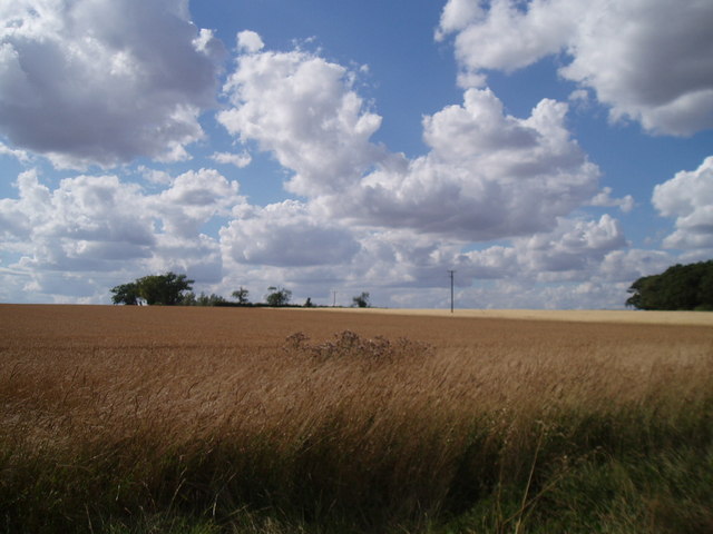
Hardmead is a small village located in the county of Buckinghamshire, England. Situated approximately 5 miles north of the town of Newport Pagnell, it is nestled in the rural countryside, surrounded by picturesque farmland and rolling hills. The village has a population of around 300 residents.
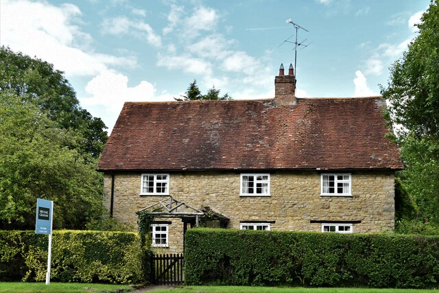
Hardmead has a rich history dating back centuries. It was mentioned in the Domesday Book of 1086, indicating its existence even during medieval times. The village is known for its charming traditional architecture, with a cluster of historic cottages and farmhouses that have been well-preserved over the years.
Despite its small size, Hardmead has a close-knit community that takes pride in maintaining the village's rural character. The village features a local pub, The Hardmead Inn, which serves as a gathering place for residents and visitors alike. The pub offers a welcoming atmosphere, traditional food, and a selection of local ales.
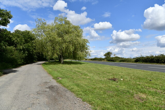
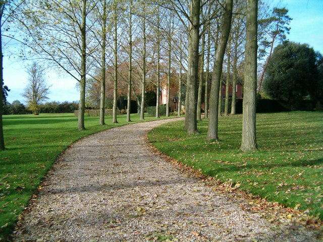
Nature enthusiasts will find Hardmead appealing, as the village is surrounded by beautiful countryside and offers ample opportunities for walking, cycling, and exploring the outdoors. The nearby River Great Ouse provides stunning views and attracts fishing enthusiasts.
While Hardmead lacks extensive amenities, it benefits from its proximity to larger towns and cities. The village is conveniently located near the M1 motorway, providing easy access to nearby Newport Pagnell and Milton Keynes, where residents can find a wider range of services and facilities, including schools, shops, and healthcare facilities.
In summary, Hardmead is a tranquil and historic village in Buckinghamshire, offering a peaceful rural lifestyle and a strong sense of community.
If you have any feedback on the listing, please let us know in the comments section below.
Hardmead Images
Images are sourced within 2km of 52.118556/-0.634952 or Grid Reference SP9347. Thanks to Geograph Open Source API. All images are credited.


Hardmead is located at Grid Ref: SP9347 (Lat: 52.118556, Lng: -0.634952)
Unitary Authority: Milton Keynes
Police Authority: Thames Valley
What 3 Words
///stem.improve.cosmic. Near Astwood, Buckinghamshire
Related Wikis
Hardmead
Hardmead is a small village in the unitary authority area of the City of Milton Keynes, Buckinghamshire, England. It is in the north of the Borough, about...

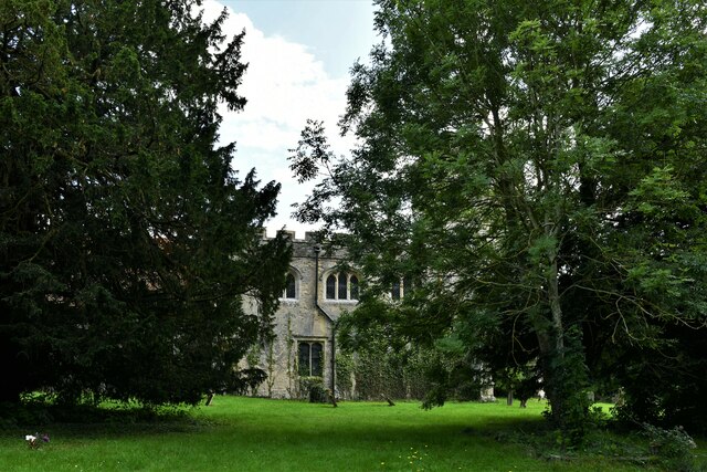
St Mary's Church, Hardmead
St Mary's Church is a redundant Anglican church in the village of Hardmead, Buckinghamshire, England. It is recorded in the National Heritage List for...

Astwood, Buckinghamshire
Astwood is a village in the unitary authority area of the City of Milton Keynes, Buckinghamshire, England. It is located on the border with Bedfordshire...

Milton Keynes wind farm
Milton Keynes wind farm is located 2 miles east of Emberton in the City of Milton Keynes, Buckinghamshire, UK. It was developed by Your Energy and is...

North Crawley
North Crawley is a village and civil parish in the unitary authority area of the City of Milton Keynes, Buckinghamshire, England. It is located near...

Chicheley Hall
Chicheley Hall, Chicheley, Buckinghamshire, England is a country house built in the first quarter of the 18th century. The client was Sir John Chester...
Chicheley War Memorial
Chicheley War Memorial is located in Hall Lane, Chicheley, Buckinghamshire, England. It is a grade II listed building with Historic England. It was designed...

Chicheley
Chicheley is a village and civil parish in the unitary authority area of the City of Milton Keynes, Buckinghamshire, England. The village is about 2.5...
Nearby Amenities
Located within 500m of 52.118556,-0.634952Have you been to Hardmead?
Leave your review of Hardmead below (or comments, questions and feedback).