Ruithfhoghail
Sea, Estuary, Creek in Ross-shire
Scotland
Ruithfhoghail
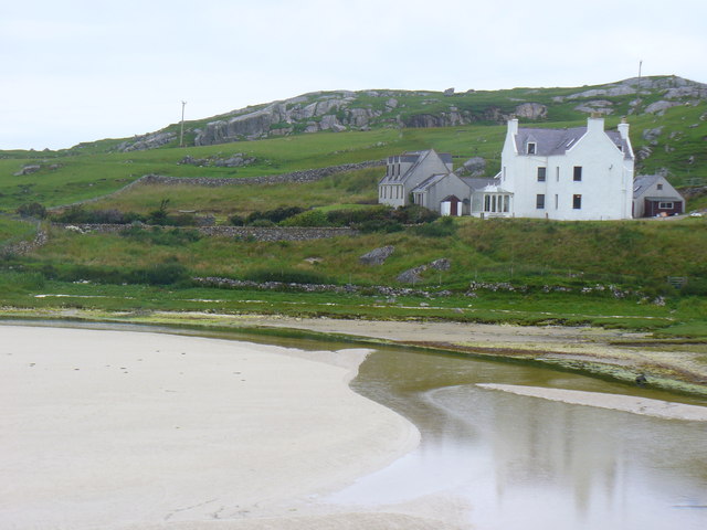
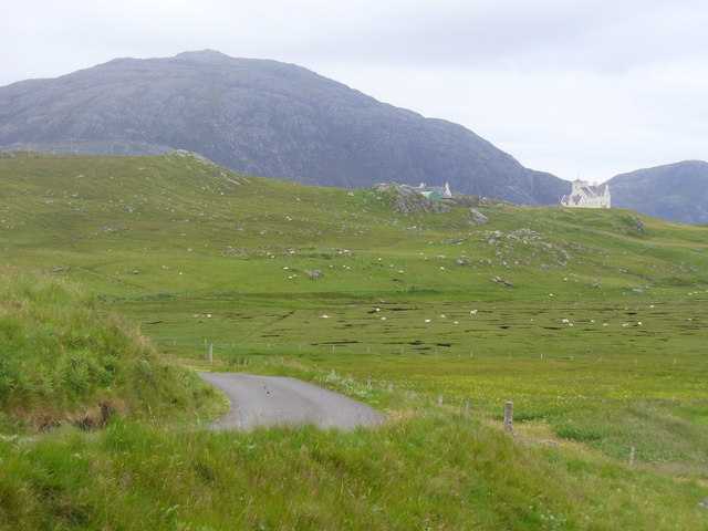
Ruithfhoghail is a picturesque coastal town located in the Ross-shire region of Scotland. Nestled between the stunning Scottish Highlands and the North Sea, it offers a unique blend of natural beauty and cultural heritage. The name Ruithfhoghail translates to "Sea, Estuary, Creek" in Gaelic, which aptly describes its geographic features.
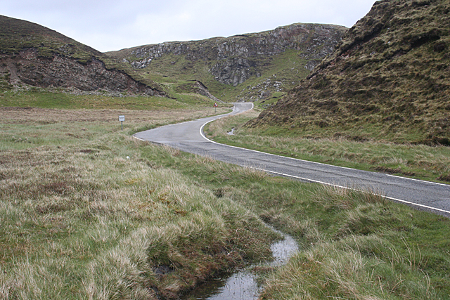
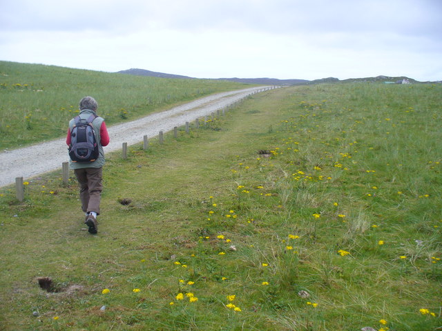
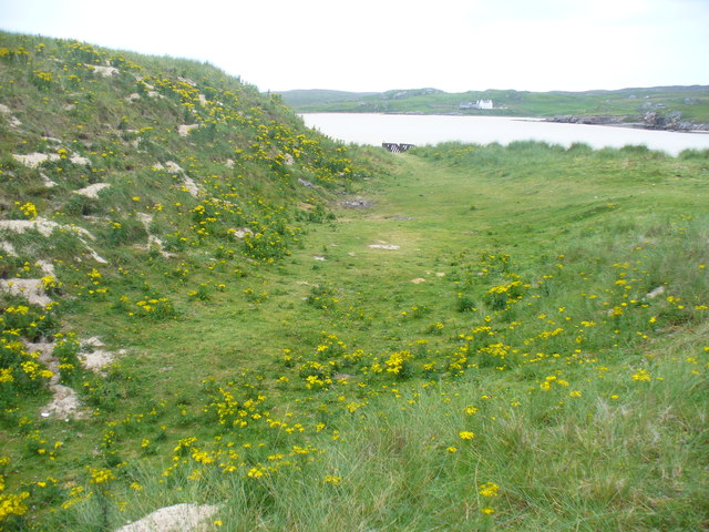
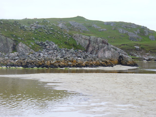
The town is blessed with a breathtaking coastline that stretches for miles, offering panoramic views of the sea and rugged cliffs. The pristine sandy beaches are perfect for leisurely walks or relaxing picnics. Visitors can also enjoy a variety of water sports such as surfing, kayaking, and fishing in the crystal-clear waters.
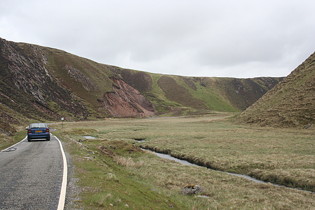
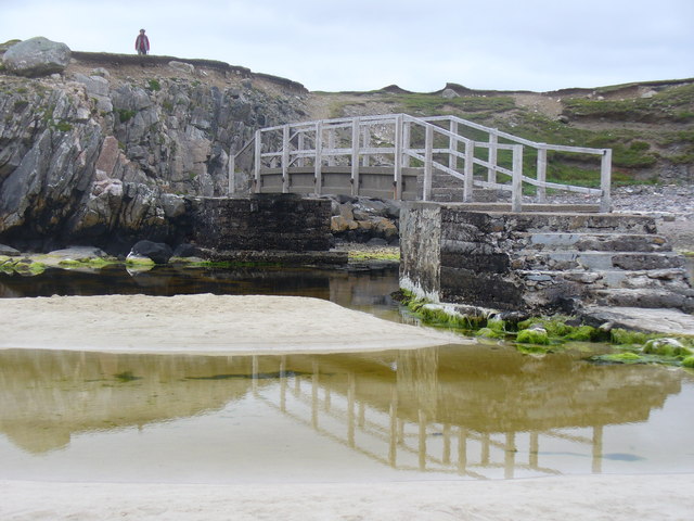
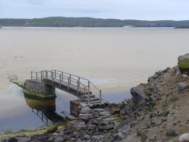
Ruithfhoghail is renowned for its estuary, where a river meets the sea. The estuary teems with diverse marine life and provides a haven for birdwatchers, as it attracts a plethora of species, including herons, oystercatchers, and terns. Nature enthusiasts can explore the estuary on scenic boat tours or take peaceful walks along the designated nature trails.
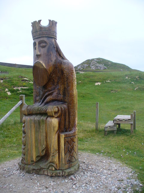
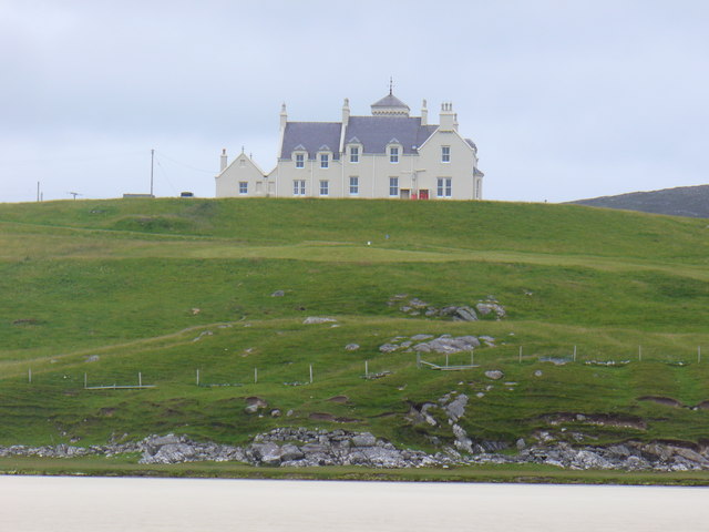
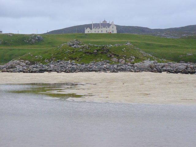
In addition to its natural wonders, Ruithfhoghail boasts a rich history and vibrant culture. The town is dotted with ancient ruins, castles, and museums that showcase its fascinating past. Visitors can delve into the town's heritage by visiting historical landmarks like the Ruithfhoghail Castle, which offers breathtaking views of the surrounding countryside.
Overall, Ruithfhoghail is a hidden gem on Scotland's northern coast, offering a harmonious blend of stunning natural landscapes, cultural heritage, and outdoor activities. Whether you seek tranquility by the sea, adventure on the water, or a glimpse into Scotland's history, this town has something to offer everyone.
If you have any feedback on the listing, please let us know in the comments section below.
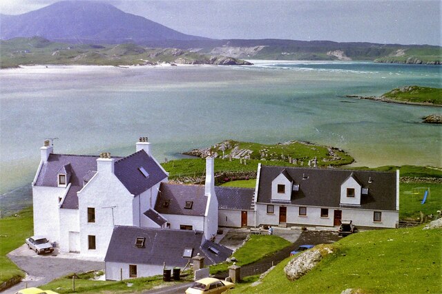
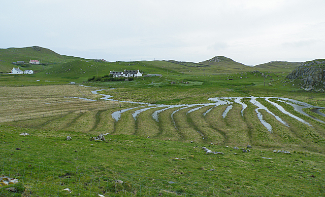
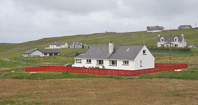
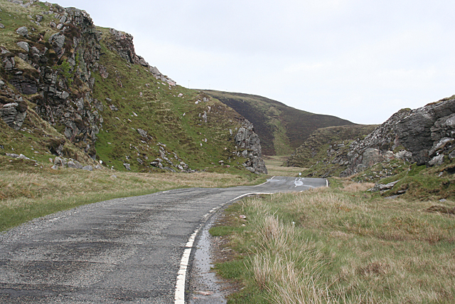
Ruithfhoghail Images
Images are sourced within 2km of 58.19785/-7.0307005 or Grid Reference NB0434. Thanks to Geograph Open Source API. All images are credited.
Ruithfhoghail is located at Grid Ref: NB0434 (Lat: 58.19785, Lng: -7.0307005)
Unitary Authority: Na h-Eileanan an Iar
Police Authority: Highlands and Islands
What 3 Words
///scarecrow.jiggle.endings. Near Carloway, Na h-Eileanan Siar
Nearby Locations
Related Wikis

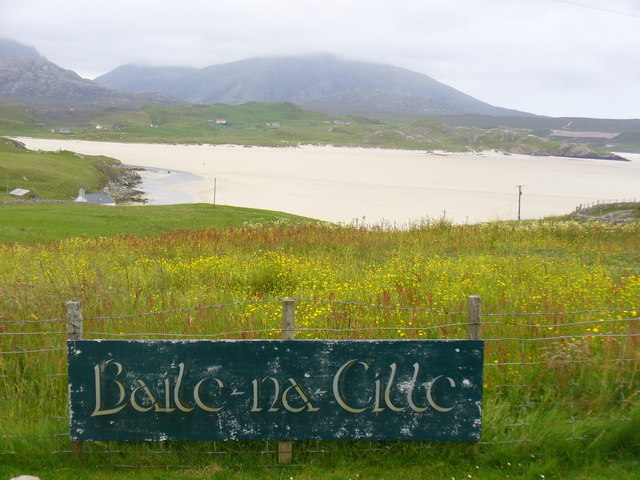
Timsgarry
Timsgarry (Scottish Gaelic: Tuimisgearraidh) is a village on the Isle of Lewis, in the Outer Hebrides, Scotland. Timsgarry is home to the Baile na Cille...

Camas Uig
Camas Uig (Uig Bay) is a bay on the west coast of the Isle of Lewis, in the Outer Hebrides of Scotland. The Lewis Chessmen were discovered in the dunes...

Ardroil
Ardroil (Scottish Gaelic: Eadar Dhà Fhadhail) is a village on the Isle of Lewis in the Outer Hebrides, Scotland. Ardroil is within the parish of Uig....

Uig, Lewis
Uig (Scottish Gaelic: Ùig [uːkʲ]), also known as Sgìr' Ùig, is a civil parish and community in the west of the Isle of Lewis in the Outer Hebrides, Scotland...
Nearby Amenities
Located within 500m of 58.19785,-7.0307005Have you been to Ruithfhoghail?
Leave your review of Ruithfhoghail below (or comments, questions and feedback).