Cadh Ruadh
Coastal Feature, Headland, Point in Ross-shire
Scotland
Cadh Ruadh
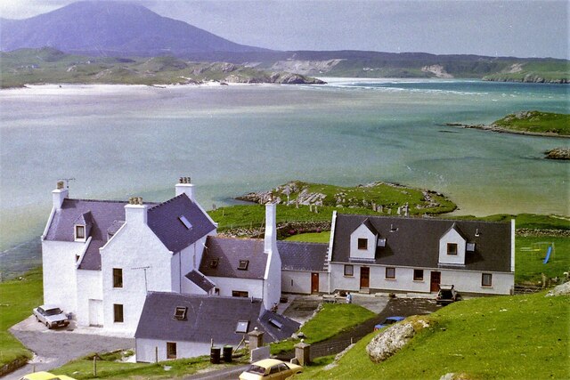
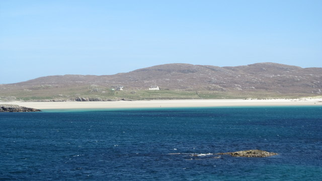
Cadh Ruadh is a prominent coastal feature located in Ross-shire, Scotland. It is a headland that juts out into the North Atlantic Ocean, forming a distinct point along the rugged coastline. The name "Cadh Ruadh" translates to "red head" in Gaelic, which aptly describes the reddish hue of the cliffs that make up this natural formation.
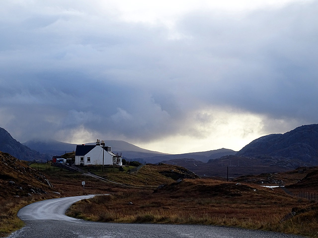
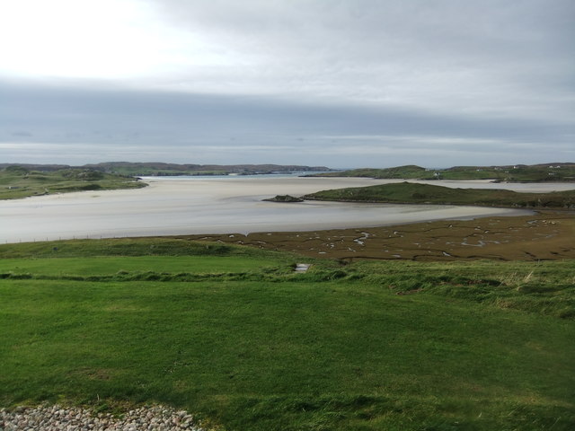
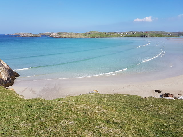
Situated on the western coast of Ross-shire, Cadh Ruadh offers breathtaking views of the surrounding landscape. The headland is characterized by steep and dramatic cliffs that rise from the sea, creating an impressive sight for visitors. The rugged terrain is carved by the continuous pounding of waves, which has resulted in unique geological formations, including sea caves and natural arches.
Cadh Ruadh is also home to a diverse range of flora and fauna. The cliffs provide nesting sites for various seabird species, including razorbills, guillemots, and fulmars. Visitors may also spot seals and dolphins swimming in the waters below or catch a glimpse of a golden eagle soaring above.
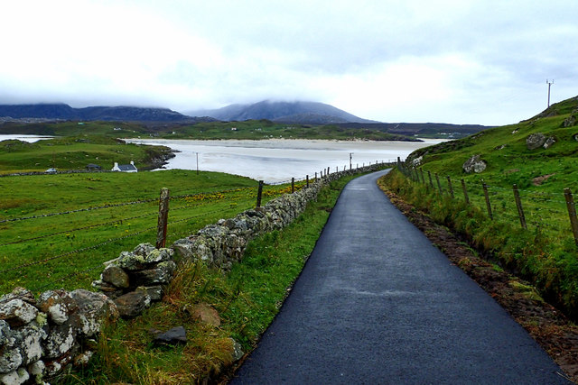
The headland is a popular spot for outdoor enthusiasts, offering opportunities for coastal walks, birdwatching, and photography. There are designated paths and trails that allow visitors to explore the area safely while enjoying the stunning coastal scenery.
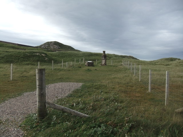
Cadh Ruadh is not only a natural wonder but also holds historical significance. Ruins of ancient settlements and burial grounds can be found nearby, reminding visitors of the area's rich cultural heritage.
In conclusion, Cadh Ruadh is a remarkable headland in Ross-shire, Scotland, known for its striking cliffs, diverse wildlife, and historical significance. It is a must-visit destination for nature lovers and those seeking to immerse themselves in the rugged beauty of the Scottish coastline.
If you have any feedback on the listing, please let us know in the comments section below.
Cadh Ruadh Images
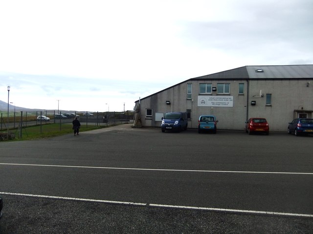
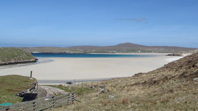
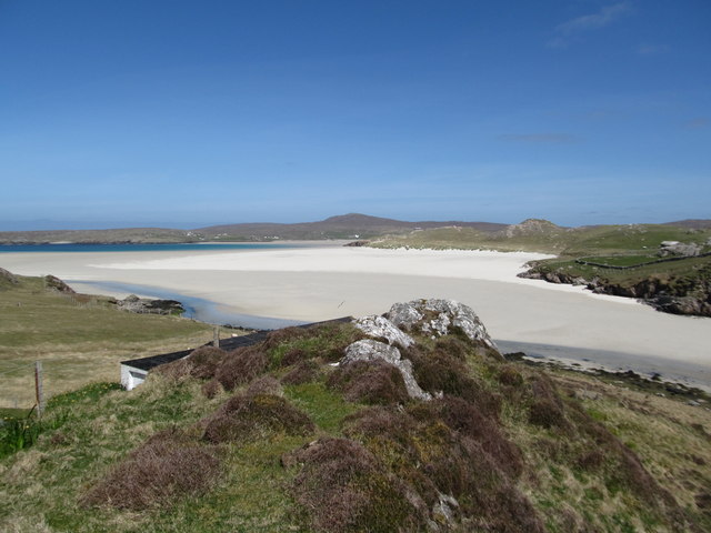
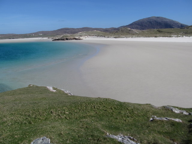
Images are sourced within 2km of 58.197746/-7.0371953 or Grid Reference NB0434. Thanks to Geograph Open Source API. All images are credited.


Cadh Ruadh is located at Grid Ref: NB0434 (Lat: 58.197746, Lng: -7.0371953)
Unitary Authority: Na h-Eileanan an Iar
Police Authority: Highlands and Islands
What 3 Words
///playroom.imported.tolerates. Near Carloway, Na h-Eileanan Siar
Nearby Locations
Related Wikis

Timsgarry
Timsgarry (Scottish Gaelic: Tuimisgearraidh) is a village on the Isle of Lewis, in the Outer Hebrides, Scotland. Timsgarry is home to the Baile na Cille...

Camas Uig
Camas Uig (Uig Bay) is a bay on the west coast of the Isle of Lewis, in the Outer Hebrides of Scotland. The Lewis Chessmen were discovered in the dunes...

Ardroil
Ardroil (Scottish Gaelic: Eadar Dhà Fhadhail) is a village on the Isle of Lewis in the Outer Hebrides, Scotland. Ardroil is within the parish of Uig....

Uig, Lewis
Uig (Scottish Gaelic: Ùig [uːkʲ]), also known as Sgìr' Ùig, is a civil parish and community in the west of the Isle of Lewis in the Outer Hebrides, Scotland...

Abhainn Dearg distillery
Abhainn Dearg distillery ( AV-in JAIRG) or Red River distillery is a Scotch whisky distillery in Uig, on the west coast of the Isle of Lewis in the Outer...

Aird Uig
Aird Uig (Scottish Gaelic: Àird Ùig) is a village on the Isle of Lewis, in the Outer Hebrides, Scotland. Aird Uig is within the parish of Uig, and is situated...

Cliff, Lewis
Cliff (Scottish Gaelic: Cliobh) is a small settlement on the Isle of Lewis, in the Outer Hebrides, Scotland. Cliff is within the parish of Uig. The settlement...

Stac Dhòmhnaill Chaim
Stac Dhòmnuill Chaim, or Stac Dhòmhnaill Chaim, or Stac Domhnuill Chaim, is a fortified promontory located near Mangursta (or Mangersta, Scottish Gaelic...
Nearby Amenities
Located within 500m of 58.197746,-7.0371953Have you been to Cadh Ruadh?
Leave your review of Cadh Ruadh below (or comments, questions and feedback).