Àird na Cluasaig

Landscape Feature in Ross-shire

Scotland

Àird na Cluasaig

Baile-na-Cille, Lewis, 1989
Baile-na-Cille, Lewis, 1989 Credit: Nigel Thompson

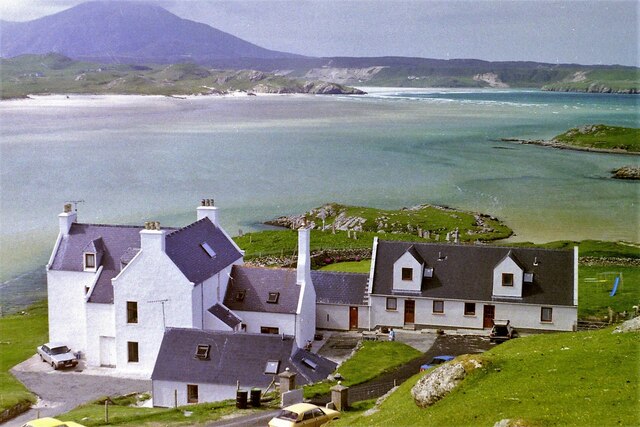
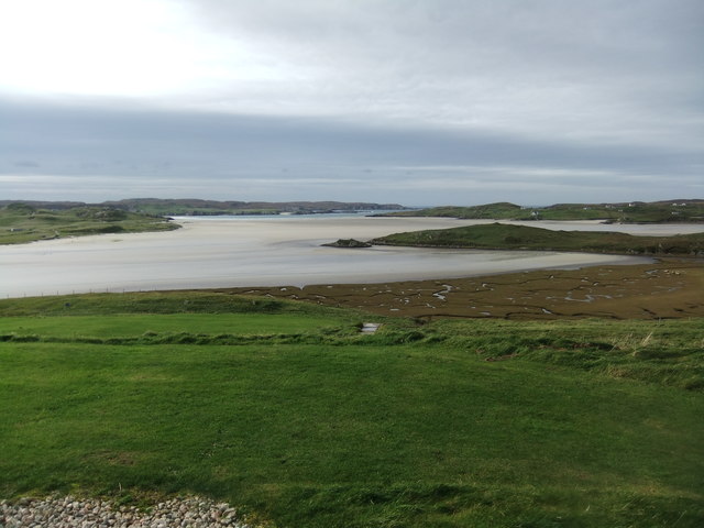
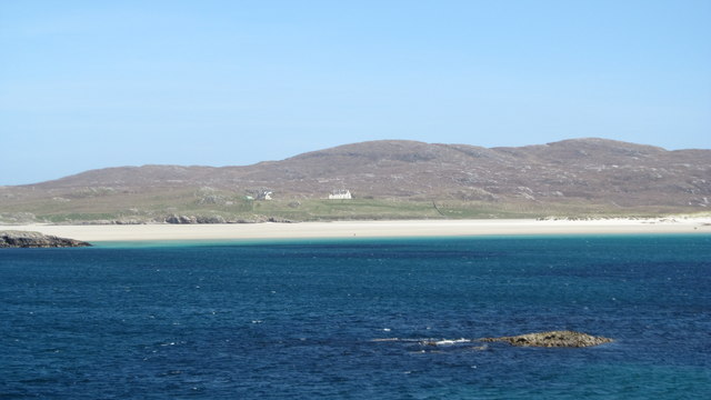
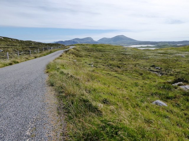
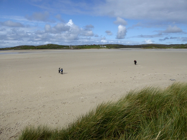
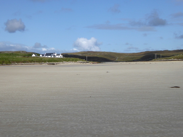
Àird na Cluasaig is a prominent landscape feature located in Ross-shire, Scotland. This geographical formation is characterized by its distinctive shape, consisting of a series of steep cliffs and rugged coastal terrain. It is situated on the west coast of Scotland, overlooking the Atlantic Ocean, and forms part of the larger Highlands region.

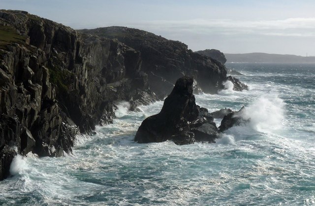
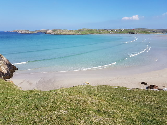
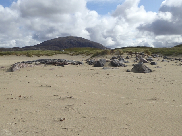
The cliffs of Àird na Cluasaig rise dramatically from the sea, reaching heights of up to 200 meters in some areas. These towering cliffs are composed of weathered sandstone and offer breathtaking panoramic views of the surrounding landscape. The rugged coastline is dotted with caves and natural arches, adding to the area's scenic appeal.

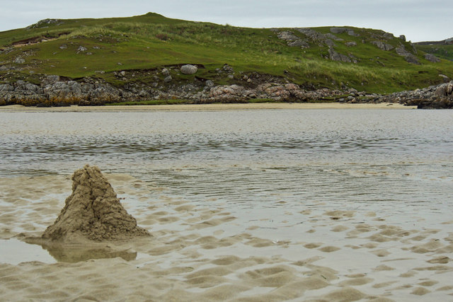
The vegetation of Àird na Cluasaig is typical of the Scottish Highlands, with heather, grasses, and scattered shrubs covering the exposed cliffs and slopes. The area is also home to a variety of bird species, including puffins, gannets, and razorbills, which nest along the cliffs during the breeding season.

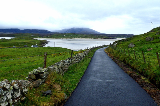
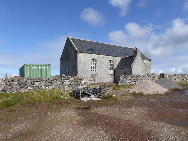
Access to Àird na Cluasaig is limited, as it is primarily a natural landscape feature. However, there are some walking trails and viewpoints that allow visitors to appreciate its beauty from a safe distance. The area is popular among hikers and nature enthusiasts, offering opportunities for exploration and wildlife observation.

Overall, Àird na Cluasaig is a stunning landscape feature that showcases the rugged beauty of the Scottish Highlands. Its towering cliffs, coastal scenery, and diverse wildlife make it a must-visit destination for those seeking an authentic Scottish natural experience.

If you have any feedback on the listing, please let us know in the comments section below.

Àird na Cluasaig Images

Images are sourced within 2km of 58.202206/-7.039771 or Grid Reference NB0434. Thanks to Geograph Open Source API. All images are credited.

Baile-na-Cille, Lewis, 1989
Coastline, Geòdha Nasabhaig, Isle of Lewis
Uig Bay
Uig Bay
Uig Community and Heritage Centre
Uig Sands, Northern part, seen from Carnish area This photo does not do justice to the huge size of the northern part of Uig Sands.
Uig Sands, Northern part, seen from Carnish area
This photo does not do justice to the huge size of the northern part of Uig Sands.
Uig Bay A fine warm, sunny day in May 2017
Uig Bay
A fine warm, sunny day in May 2017
Dun Borranais
Dun Borranais
Track to Baile na Cille
Bun Sgoil Uig - Uig Primary School
Minor road from Aird Uig towards Timsgarry
Dunes above the beach of Tràigh Ùige Mountains of south Lewis beyond.
Dunes above the beach of Tràigh Ùige
Mountains of south Lewis beyond.
The sands of Tràigh Ùige At low tide, the sands extend almost a kilometre to the far shore of the bay.
The sands of Tràigh Ùige
At low tide, the sands extend almost a kilometre to the far shore of the bay.
The sands of Tràigh Ùige At low tide, the sands are uncovered over most of the bay. The village of Crowlista is seen on the far shore.
The sands of Tràigh Ùige
At low tide, the sands are uncovered over most of the bay. The village of Crowlista is seen on the far shore.
The sands of Tràigh Ùige At low tide, the sands are uncovered over most of the bay. Looking into the mouth of Tràigh nan Srùban, a side bay which also dries out at low tide.
The sands of Tràigh Ùige
At low tide, the sands are uncovered over most of the bay. Looking into the mouth of Tràigh nan Srùban, a side bay which also dries out at low tide.
The sands of Tràigh Ùige At low tide, the sands are uncovered over most of the bay. The houses of Timsgarry can be seen on the far shore.
The sands of Tràigh Ùige
At low tide, the sands are uncovered over most of the bay. The houses of Timsgarry can be seen on the far shore.
The sands of Tràigh Ùige At low tide, the sands are uncovered over most of the bay. The large building on the far shore is Uig Lodge <a href="https://www.geograph.org.uk/gridref/NB0533">NB0533</a>, built in 1876, which mainly functions as a self-catering holiday let, but also houses a salmon smokery business and occasional dinner, bed and breakfast establishment.
The sands of Tràigh Ùige
At low tide, the sands are uncovered over most of the bay. The large building on the far shore is Uig Lodge NB0533, built in 1876, which mainly functions as a self-catering holiday let, but also houses a salmon smokery business and occasional dinner, bed and breakfast establishment.
Abandoned church at Uig Looking sadly neglected. See also <a href="https://www.geograph.org.uk/photo/1454265">NB0534 : Disused church at Uig</a> and <a href="https://www.geograph.org.uk/photo/2651138">NB0534 : Little church at Timsgearraidh (Timsgarry)</a>.
Abandoned church at Uig
View from Timsgarry Looking across the sands of Tràigh Ùige towards the mountains of south Lewis.
View from Timsgarry
Looking across the sands of Tràigh Ùige towards the mountains of south Lewis.
Show me another place!

Àird na Cluasaig is located at Grid Ref: NB0434 (Lat: 58.202206, Lng: -7.039771)

Unitary Authority: Na h-Eileanan an Iar

Police Authority: Highlands and Islands

What 3 Words

///persuade.goodbyes.trips. Near Carloway, Na h-Eileanan Siar

Related Wikis

Camas Uig

Camas Uig (Uig Bay) is a bay on the west coast of the Isle of Lewis, in the Outer Hebrides of Scotland. The Lewis Chessmen were discovered in the dunes...

Timsgarry

Timsgarry (Scottish Gaelic: Tuimisgearraidh) is a village on the Isle of Lewis, in the Outer Hebrides, Scotland. Timsgarry is home to the Baile na Cille...

Ardroil

Ardroil (Scottish Gaelic: Eadar Dhà Fhadhail) is a village on the Isle of Lewis in the Outer Hebrides, Scotland. Ardroil is within the parish of Uig....

Uig, Lewis

Uig (Scottish Gaelic: Ùig [uːkʲ]), also known as Sgìr' Ùig, is a civil parish and community in the west of the Isle of Lewis in the Outer Hebrides, Scotland...

Aird Uig

Aird Uig (Scottish Gaelic: Àird Ùig) is a village on the Isle of Lewis, in the Outer Hebrides, Scotland. Aird Uig is within the parish of Uig, and is situated...

Abhainn Dearg distillery

Abhainn Dearg distillery ( AV-in JAIRG) or Red River distillery is a Scotch whisky distillery in Uig, on the west coast of the Isle of Lewis in the Outer...

Cliff, Lewis

Cliff (Scottish Gaelic: Cliobh) is a small settlement on the Isle of Lewis, in the Outer Hebrides, Scotland. Cliff is within the parish of Uig. The settlement...

Stac Dhòmhnaill Chaim

Stac Dhòmnuill Chaim, or Stac Dhòmhnaill Chaim, or Stac Domhnuill Chaim, is a fortified promontory located near Mangursta (or Mangersta, Scottish Gaelic...

Nearby Amenities

Located within 500m of 58.202206,-7.039771
Passing Place
Source: Bing
Lat/Long: 58.2001227/-7.033692
Passing Place
Source: Bing
Lat/Long: 58.2035502/-7.0317788
Passing Place
Source: Bing
Lat/Long: 58.2008935/-7.0332713
Passing Place
Source: Bing
Lat/Long: 58.2021534/-7.0326047
Passing Place
Source: Bing
Lat/Long: 58.1992061/-7.0344289
Passing Place
Source: Bing
Lat/Long: 58.2015972/-7.032714
Passing Place
Source: Bing
Lat/Long: 58.2027176/-7.0325602
The data included in this document is from www.openstreetmap.org. The data is made available under ODbL.

Have you been to Àird na Cluasaig?

Leave your review of Àird na Cluasaig below (or comments, questions and feedback).