Ob a' Chlachain

Sea, Estuary, Creek in Inverness-shire

Scotland

Ob a' Chlachain

Bàgh nam Faoileann Very shallow tidal waters separate South Uist and Benbecula.
Bàgh nam Faoileann Credit: Toby Speight

Ob a' Chlachain, also known as the Sea, Estuary, Creek, is a picturesque coastal area located in Inverness-shire, Scotland. Nestled between the towering mountains and the vast sea, this natural wonder offers breathtaking views and a tranquil atmosphere.

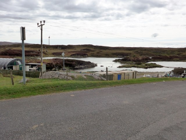
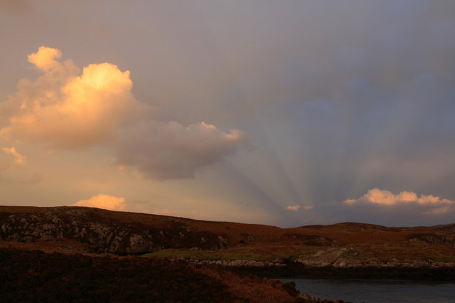
The area is characterized by its rugged coastline, rocky cliffs, and sandy beaches. The crystal-clear waters of the sea provide an ideal habitat for a diverse range of marine life, making it a popular spot for fishing and wildlife enthusiasts. Visitors can often spot seals, dolphins, and various species of seabirds while exploring the shoreline.

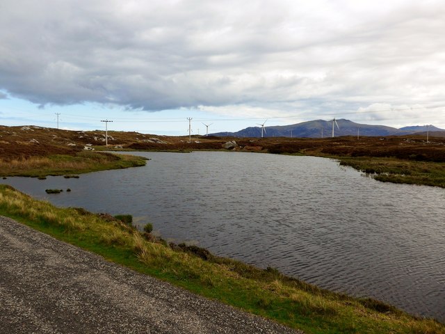
The estuary, formed by the convergence of a river and the sea, provides a unique habitat for various species of plants and animals. The brackish water supports a rich ecosystem of salt-tolerant vegetation, including reeds, sea grasses, and rare coastal flowers. This area is a haven for birdwatchers, as it attracts a wide variety of migratory birds throughout the year.

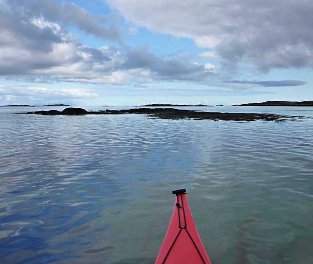
The creek, a narrow waterway that winds through the land, adds to the charm of Ob a' Chlachain. It provides a sheltered haven for small boats and kayaks, offering a peaceful location for recreational activities such as boating and sailing.

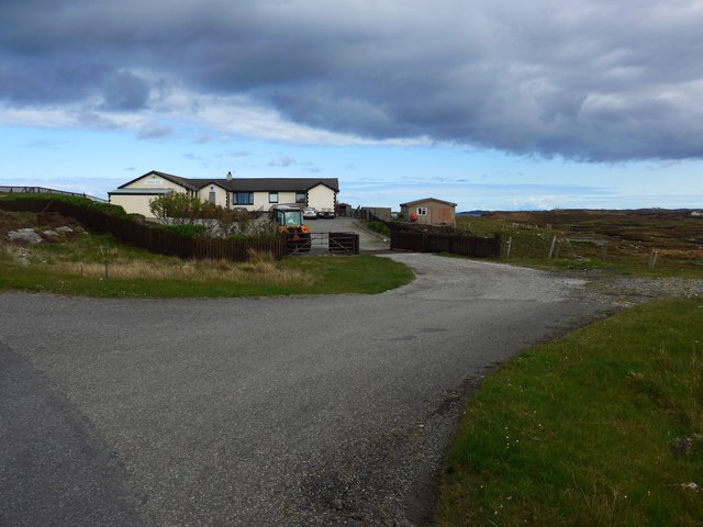
The surrounding landscape is dotted with quaint fishing villages, where visitors can experience the local culture and sample freshly caught seafood. The nearby mountains offer numerous hiking trails, allowing nature enthusiasts to explore the breathtaking highland scenery.

Overall, Ob a' Chlachain is a hidden gem in Inverness-shire, offering a harmonious blend of stunning natural beauty and outdoor activities for all to enjoy.

If you have any feedback on the listing, please let us know in the comments section below.

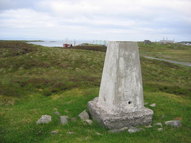
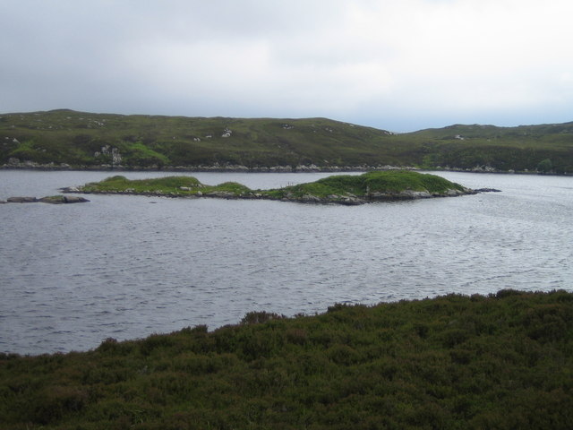
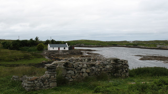
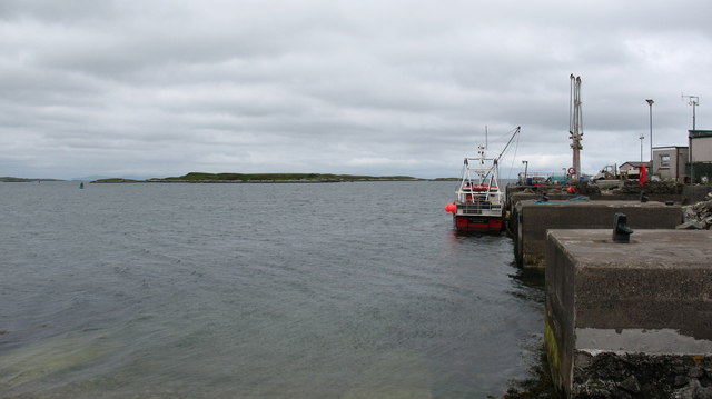
Ob a' Chlachain Images

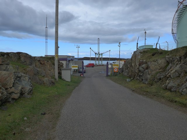
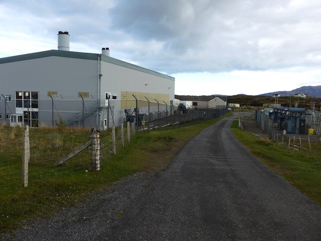
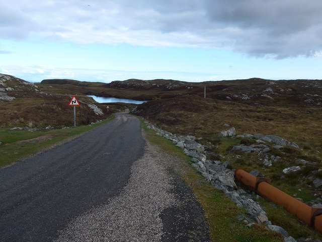
Images are sourced within 2km of 57.370707/-7.2853344 or Grid Reference NF8243. Thanks to Geograph Open Source API. All images are credited.

Bàgh nam Faoileann Very shallow tidal waters separate South Uist and Benbecula.
Bàgh nam Faoileann
Very shallow tidal waters separate South Uist and Benbecula.
The Orosay Inn Great wee hotel with simple rooms and great food - especially seafood (I speak only as a satisfied customer!).
The Orosay Inn
Great wee hotel with simple rooms and great food - especially seafood (I speak only as a satisfied customer!).
Wayside shrine On the Loch Carnan road
Wayside shrine
On the Loch Carnan road
Fish farm base at Loch Carnan
Loch Carnan Community Wind Farm Now capable of generating its full 6.9MW.  This wind farm is built on (presumably) crofting land and revenues will go to the local community - revenues estimated at around £20 million over the next 20 years.
Loch Carnan Community Wind Farm
Now capable of generating its full 6.9MW. This wind farm is built on (presumably) crofting land and revenues will go to the local community - revenues estimated at around £20 million over the next 20 years.
Certas Energy fuel depot on South Uist Small fuel tankers call here.  The site is owned by MoD and leased to Certas Energy.
Certas Energy fuel depot on South Uist
Small fuel tankers call here. The site is owned by MoD and leased to Certas Energy.
Loch Carnan Power Station Commissioned in 1971;  diesel powered and with a capacity of 11.8MW
Loch Carnan Power Station
Commissioned in 1971; diesel powered and with a capacity of 11.8MW
On the road to Caolas Liubharsaigh
Lochcarnan Community Windfarm Now capable of generating its full 6.9MW. This wind farm is built on (presumably) crofting land and revenues will go to the local community - revenues estimated at around £20 million over the next 20 years
Lochcarnan Community Windfarm
Now capable of generating its full 6.9MW. This wind farm is built on (presumably) crofting land and revenues will go to the local community - revenues estimated at around £20 million over the next 20 years
Sunset Shadows Rays and shadows cast by the setting sun over Lochcarnan. The sun is behind the photographer.
Sunset Shadows
Rays and shadows cast by the setting sun over Lochcarnan. The sun is behind the photographer.
Lochcarnan Beyond the trigpoint the background includes a fish processing plant and the Uist's diesel fired power station. The square relevant part is the single track road running through acid soiled grazing on the rugged east coast of South Uist.
Lochcarnan
Beyond the trigpoint the background includes a fish processing plant and the Uist's diesel fired power station. The square relevant part is the single track road running through acid soiled grazing on the rugged east coast of South Uist.
Loch Caslub Islands in the centre section of loch Caslub.
Loch Caslub
Islands in the centre section of loch Caslub.
Stone quarry near Loch a Charnain The quarry shown is now flooded and disused, but the working quarry is just around the corner and operated by R J McLeod.
Stone quarry near Loch a Charnain
The quarry shown is now flooded and disused, but the working quarry is just around the corner and operated by R J McLeod.
Road junction and shrine, South Uist. South Uist is a stronghold of the Catholic faith and roadside shrines are plentiful. This one is at Loch a Charnain on the road to Sandavaig.
Road junction and shrine, South Uist.
South Uist is a stronghold of the Catholic faith and roadside shrines are plentiful. This one is at Loch a Charnain on the road to Sandavaig.
Cottage by the shore A nicely restored traditional cottage by the shore, overlooking a narrow inlet on the NE coast of South Uist.
Cottage by the shore
A nicely restored traditional cottage by the shore, overlooking a narrow inlet on the NE coast of South Uist.
Sandavaig Quayside Small port facility on the NE coast of South Uist.
Sandavaig Quayside
Small port facility on the NE coast of South Uist.
Sandavaig Power Station Small power station close to the shore, generating power from diesel fuel which is supplied from Grangemouth.
Sandavaig Power Station
Small power station close to the shore, generating power from diesel fuel which is supplied from Grangemouth.
Thin Loch near Tholmair. Just one of the hundreds of lochs on South Uist. This one is only just above sea level and seems to be named as 'Caslub'. [shown on OS map]
Thin Loch near Tholmair.
Just one of the hundreds of lochs on South Uist. This one is only just above sea level and seems to be named as 'Caslub'. [shown on OS map]
Show me another place!

Ob a' Chlachain is located at Grid Ref: NF8243 (Lat: 57.370707, Lng: -7.2853344)

Unitary Authority: Na h-Eileanan an Iar

Police Authority: Highlands and Islands

What 3 Words

///songbook.student.bedroom. Near Balivanich, Na h-Eileanan Siar

Related Wikis

Eilean na Cille

Eilean na Cille, south east of Benbecula is an island of the Outer Hebrides connected to Grimsay (South) by a causeway which carries the B891. The road...

Grimsay (South East Benbecula)

Grimsay, south east of Benbecula is a tidal island of the Outer Hebrides. It is connected to Benbecula by a causeway which carries the B891. In the 2001...

Carnan (townland)

Carnan is a townland in County Tyrone, Northern Ireland. It is situated in the historic barony of Dungannon Upper and the civil parish of Arboe and covers...

Loch Bee

Loch Bì, sometimes anglicised as Loch Bee, is the largest loch on the island of South Uist in the Outer Hebrides of Scotland. It lies at the northern end...

Nearby Amenities

Located within 500m of 57.370707,-7.2853344
Passing Place
Lat/Long: 57.3689712/-7.2840006
Passing Place
Lat/Long: 57.3678865/-7.2803662
Power: pole
Lat/Long: 57.3703909/-7.2931851
Power: pole
Lat/Long: 57.3702362/-7.2920398
Power: pole
Lat/Long: 57.3700474/-7.290621
Power: pole
Lat/Long: 57.3698666/-7.289418
Power: pole
Lat/Long: 57.3697466/-7.2885208
Power: pole
Lat/Long: 57.369641/-7.2877912
Power: pole
Lat/Long: 57.3694581/-7.2864541
Power: pole
Lat/Long: 57.3692715/-7.2851157
Power: pole
Lat/Long: 57.3699252/-7.2918212
Power: pole
Lat/Long: 57.3697415/-7.2903568
Power: pole
Lat/Long: 57.3695926/-7.289198
Power: pole
Lat/Long: 57.3694638/-7.2882298
Power: pole
Lat/Long: 57.3691399/-7.2869879
Power: pole
Lat/Long: 57.3688651/-7.285907
Power: pole
Lat/Long: 57.3685946/-7.2848958
Power: pole
Lat/Long: 57.3682598/-7.2836204
Power: pole
Lat/Long: 57.3679459/-7.2824536
Power: pole
Lat/Long: 57.3683596/-7.2863643
Power: pole
Lat/Long: 57.3681376/-7.2851989
Power: pole
Lat/Long: 57.367776/-7.2835855
Power: pole
Lat/Long: 57.3675359/-7.2808832
Power: pole
Lat/Long: 57.3676574/-7.2807571
Power: pole
Lat/Long: 57.3679987/-7.2815725
Power: pole
Lat/Long: 57.3683921/-7.2823504
Power: pole
Lat/Long: 57.3672495/-7.281079
Power: pole
Lat/Long: 57.3687768/-7.2831389
Power: pole
Lat/Long: 57.3690741/-7.2837921
Power: pole
Lat/Long: 57.3686149/-7.2875458
Power: pole
Lat/Long: 57.3685512/-7.2892705
Power: pole
Lat/Long: 57.3684977/-7.2908047
Power: pole
Lat/Long: 57.3684775/-7.2917783
Power: pole
Lat/Long: 57.3689866/-7.2829539
Power: pole
Lat/Long: 57.3699006/-7.2932214
Turning Circle
Lat/Long: 57.3701005/-7.2934136
Passing Place
Lat/Long: 57.3701525/-7.2922174
Passing Place
Lat/Long: 57.3681505/-7.2819608
Passing Place
Lat/Long: 57.3693775/-7.2867123
Man Made: mast
Lat/Long: 57.3681307/-7.2797451
The data included in this document is from www.openstreetmap.org. The data is made available under ODbL.

Have you been to Ob a' Chlachain?

Leave your review of Ob a' Chlachain below (or comments, questions and feedback).