Caolas Stulaigh
Sea, Estuary, Creek in Inverness-shire
Scotland
Caolas Stulaigh

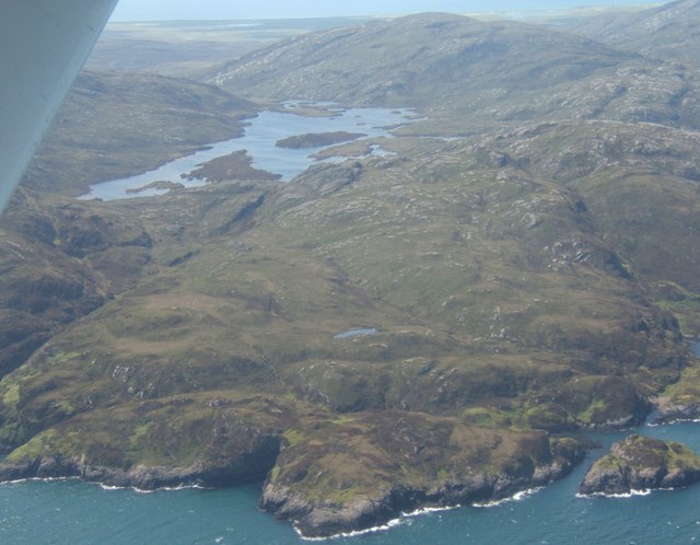
Caolas Stulaigh is a picturesque coastal area located in Inverness-shire, Scotland. It is nestled between the North Sea and the Moray Firth, making it a stunning destination for nature lovers and outdoor enthusiasts. The name "Caolas Stulaigh" translates to "narrow strait" in Scottish Gaelic, which accurately describes the geography of the area.
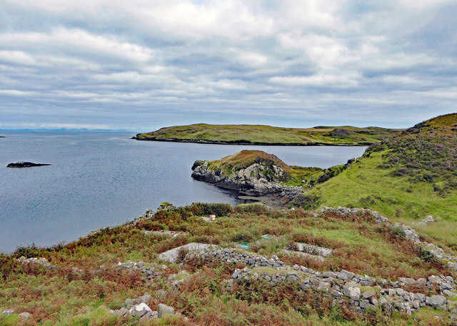
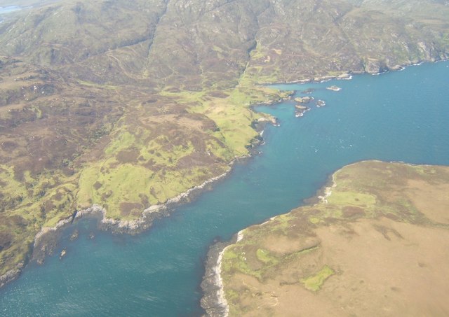
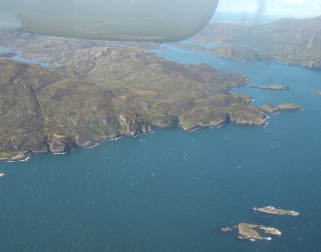
The sea surrounding Caolas Stulaigh is known for its deep blue waters and rugged coastline. It is a haven for marine life, including seals, dolphins, and various species of seabirds. The crashing waves and rocky cliffs create a dramatic and awe-inspiring sight, attracting photographers and artists from all over.
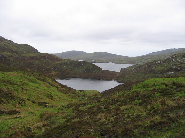
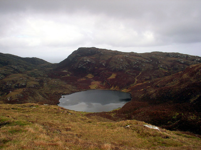
The estuary found in Caolas Stulaigh is a unique ecosystem where freshwater from rivers and streams meets the saltwater of the sea. This creates a diverse habitat for a wide range of flora and fauna. The estuary is home to a variety of wading birds, such as herons and oystercatchers, as well as numerous species of fish and shellfish.
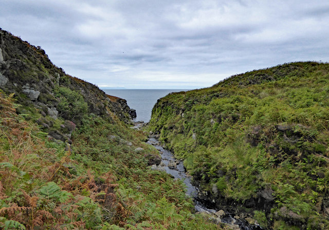
A meandering creek also flows through Caolas Stulaigh, adding to the area's natural beauty. The creek is surrounded by lush vegetation, including reeds and grasses, providing a peaceful and serene atmosphere. It is a popular spot for fishing and boating, offering visitors the opportunity to explore the area and admire its tranquil surroundings.
Overall, Caolas Stulaigh in Inverness-shire is a captivating destination that showcases the stunning beauty of Scotland's coastal landscapes. With its sea, estuary, and creek, it offers a diverse range of natural wonders for visitors to enjoy and appreciate.
If you have any feedback on the listing, please let us know in the comments section below.
Caolas Stulaigh Images
Images are sourced within 2km of 57.190798/-7.2565917 or Grid Reference NF8223. Thanks to Geograph Open Source API. All images are credited.

Caolas Stulaigh is located at Grid Ref: NF8223 (Lat: 57.190798, Lng: -7.2565917)
Unitary Authority: Na h-Eileanan an Iar
Police Authority: Highlands and Islands
What 3 Words
///candles.javelin.clocking. Near Lochboisdale, Na h-Eileanan Siar
Related Wikis

Stuley
Stuley is an island lying to the east of South Uist in the Outer Hebrides, Scotland. It lies off the section of coastline between Loch Eynort and Loch...

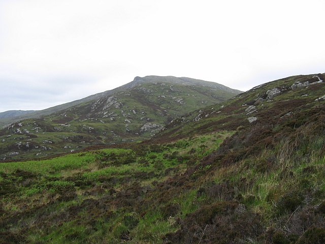
Beinn Ruigh Choinnich
Beinn Ruigh Choinnich is a hill which overlooks the port of Lochboisdale on the east coast of the island of South Uist in the Outer Hebrides Scotland....

Auratote
Auratote (Scottish Gaelic: Oratobht) is a location on South Uist in the Outer Hebrides, Scotland. Auratote is within the parish of South Uist. == References... ==

Lochboisdale
Lochboisdale (Scottish Gaelic: Loch Baghasdail [ɫ̪ɔx ˈbɤːs̪t̪ɪl]) is the main village and port on the island of South Uist, Outer Hebrides, Scotland. Lochboisdale...
Nearby Amenities
Located within 500m of 57.190798,-7.2565917Have you been to Caolas Stulaigh?
Leave your review of Caolas Stulaigh below (or comments, questions and feedback).