Orasaigh
Island in Inverness-shire
Scotland
Orasaigh
Orasaigh is a small island located in the Inverness-shire region of Scotland. Situated off the west coast of the mainland, the island spans an area of approximately 4 square miles. With a population of around 150 residents, Orasaigh offers a tranquil and secluded lifestyle for its inhabitants.
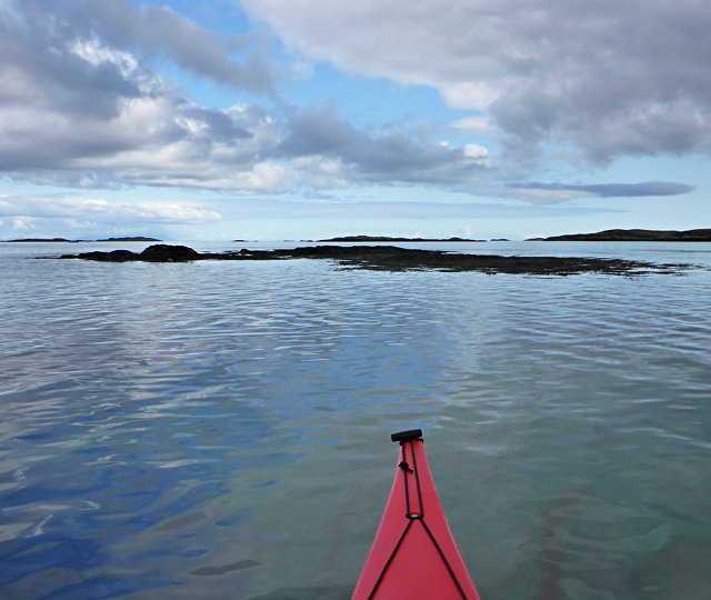
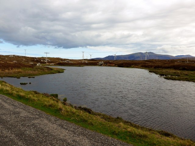
The island is characterized by its rugged coastal cliffs and stunning natural landscapes. Lush green hills cover much of the island's interior, providing breathtaking views of the surrounding sea and neighboring islands. Orasaigh is a haven for wildlife enthusiasts, with various bird species and marine life inhabiting the island's shores.
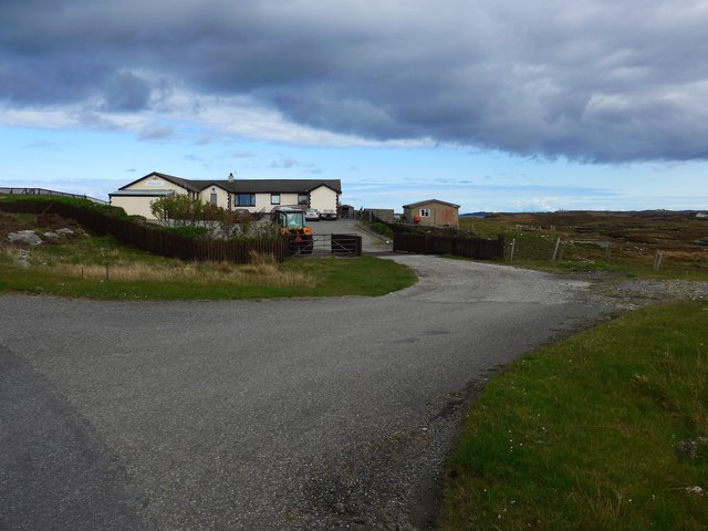
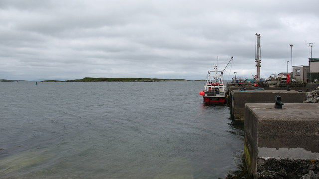
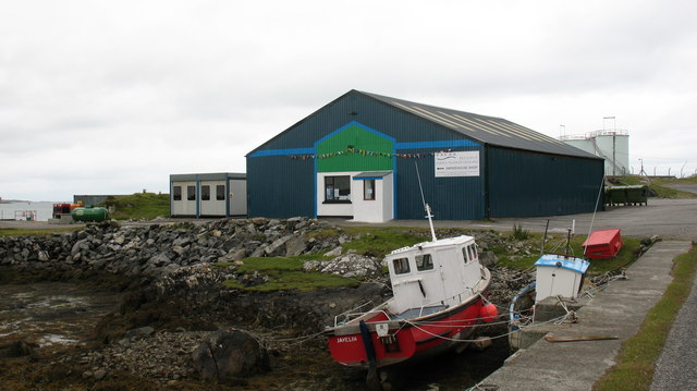
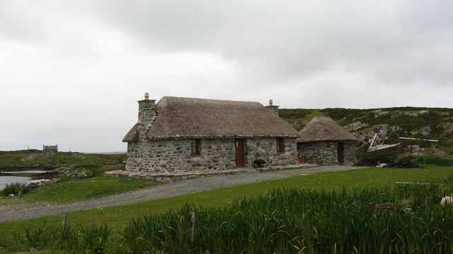
The main settlement on Orasaigh is a small village known as Port Orasaigh. This picturesque village features traditional stone cottages and a small harbor, which serves as the island's main transportation hub. The harbor provides access to the mainland via ferry services, connecting the island to the town of Mallaig.
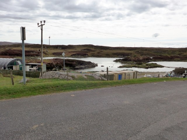
Despite its remote location, Orasaigh offers a range of amenities to its residents and visitors. The village has a primary school, a community center, and a few local shops. The island's economy primarily relies on fishing, agriculture, and tourism, with many visitors drawn to its unspoiled natural beauty and peaceful atmosphere.
Orasaigh is also known for its rich cultural heritage. The island has a strong Gaelic heritage, and traditional music and language are still cherished by the local community. Various historical sites, such as ancient standing stones and ruins, can be found scattered across the island, offering glimpses into its past.
Overall, Orasaigh is a hidden gem in Inverness-shire, providing a serene and idyllic retreat for those seeking a slower pace of life amidst stunning natural surroundings.
If you have any feedback on the listing, please let us know in the comments section below.
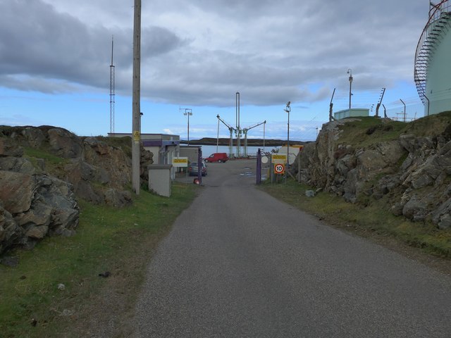
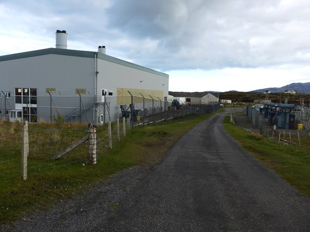
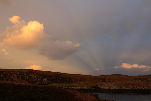
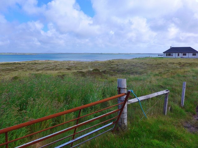
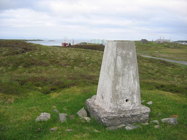
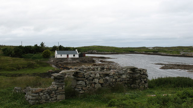
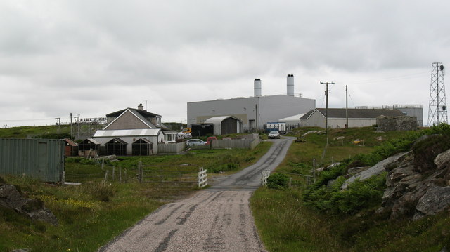
Orasaigh Images
Images are sourced within 2km of 57.372354/-7.2874708 or Grid Reference NF8243. Thanks to Geograph Open Source API. All images are credited.


Orasaigh is located at Grid Ref: NF8243 (Lat: 57.372354, Lng: -7.2874708)
Unitary Authority: Na h-Eileanan an Iar
Police Authority: Highlands and Islands
What 3 Words
///precluded.waddle.stumpy. Near Balivanich, Na h-Eileanan Siar
Nearby Locations
Related Wikis

Eilean na Cille
Eilean na Cille, south east of Benbecula is an island of the Outer Hebrides connected to Grimsay (South) by a causeway which carries the B891. The road...

Grimsay (South East Benbecula)
Grimsay, south east of Benbecula is a tidal island of the Outer Hebrides. It is connected to Benbecula by a causeway which carries the B891. In the 2001...

Carnan (townland)
Carnan is a townland in County Tyrone, Northern Ireland. It is situated in the historic barony of Dungannon Upper and the civil parish of Arboe and covers...

Iochdar
Iochdar (Scottish Gaelic: An t-Ìochdair), also spelled Eochar, is a hamlet and community on the west coast of the island of South Uist, in the Outer Hebrides...

Loch Bee
Loch Bì, sometimes anglicised as Loch Bee, is the largest loch on the island of South Uist in the Outer Hebrides of Scotland. It lies at the northern end...

Our Lady of the Isles
Our Lady of the Isles (Gaelic: Moire ro Naomh nan Eilean or Bana Thighearna nan Eilean) is a sculpture of the Madonna and Child, on South Uist in the Outer...

Wiay, Outer Hebrides
Wiay (Scottish Gaelic: Bhuia or Fuidheigh) is an uninhabited island in the Outer Hebrides. It lies south-east of Benbecula and measures approximately...

Eileanan Chearabhaigh
Eileanan Chearabhaigh is a collection of small uninhabited tidal islands off the south east coast of Benbecula in the Outer Hebrides of Scotland. The English...
Nearby Amenities
Located within 500m of 57.372354,-7.2874708Have you been to Orasaigh?
Leave your review of Orasaigh below (or comments, questions and feedback).