Sandwick

Settlement in Inverness-shire

Scotland

Sandwick

Eilean a' Geòidh Gasaidh is visible on the extreme right.
Eilean a' Geòidh Credit: Toby Speight

Sandwick is a small village located in the county of Inverness-shire, Scotland. Situated on the east coast of the Isle of Lewis, Sandwick is surrounded by stunning natural beauty and offers a tranquil and picturesque setting for residents and visitors alike.

The village is home to a population of around 1,000 people and boasts a close-knit community that is proud of its rich history and Gaelic heritage. The Gaelic language is still spoken by many residents, adding to the cultural charm of the area.

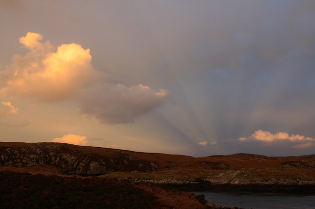
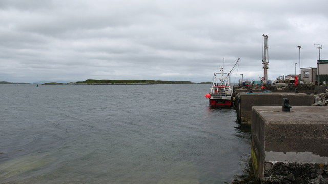
Sandwick is renowned for its breathtaking landscapes, with rolling hills, rugged cliffs, and pristine sandy beaches. The village's coastal location offers stunning views of the Atlantic Ocean and the nearby uninhabited islands. It is a haven for nature lovers, providing opportunities for activities such as bird-watching, hiking, and beachcombing.

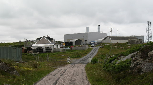
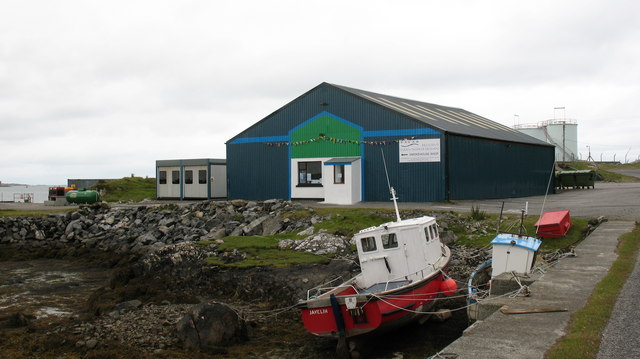
In terms of amenities, Sandwick has a primary school, a church, and a community center that serves as a hub for social events and gatherings. The village also boasts a convenience store and a few small businesses, providing essential services to the local community.

For those interested in history and archaeology, Sandwick is home to several ancient sites, including standing stones and burial grounds, which offer a glimpse into the area's past.

Overall, Sandwick is a charming village where residents and visitors can enjoy the tranquility and natural beauty of the Scottish Highlands.

If you have any feedback on the listing, please let us know in the comments section below.

Sandwick Images

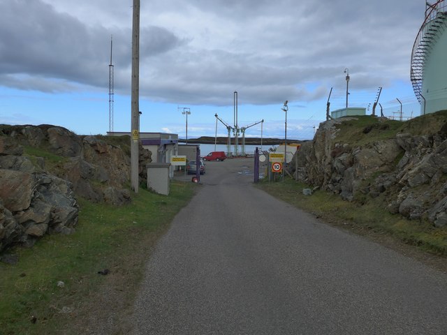
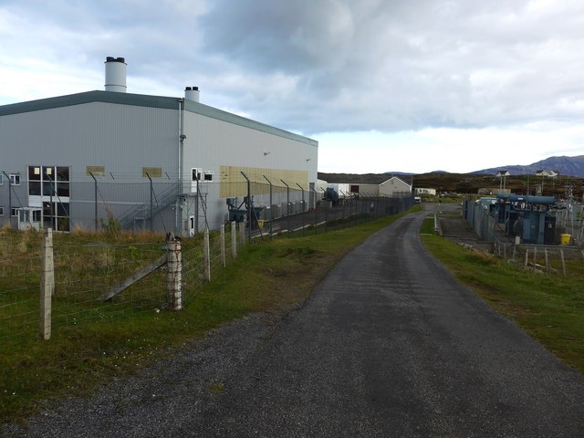
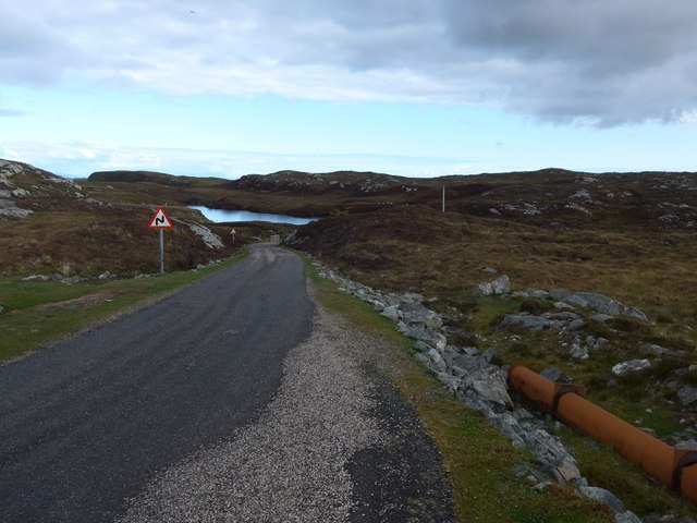
Images are sourced within 2km of 57.368698/-7.2832459 or Grid Reference NF8243. Thanks to Geograph Open Source API. All images are credited.
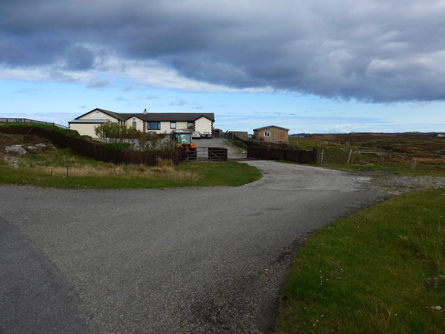
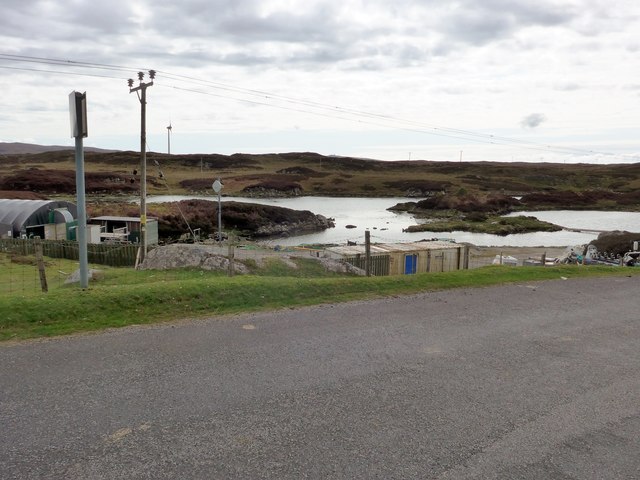
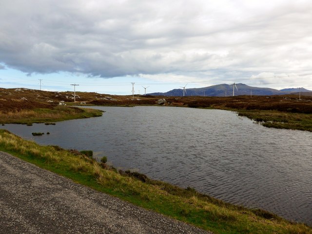
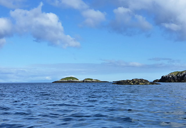
Eilean a' Geòidh Gasaidh is visible on the extreme right.
Eilean a' Geòidh
Gasaidh is visible on the extreme right.
The Orosay Inn Great wee hotel with simple rooms and great food - especially seafood (I speak only as a satisfied customer!).
The Orosay Inn
Great wee hotel with simple rooms and great food - especially seafood (I speak only as a satisfied customer!).
Wayside shrine On the Loch Carnan road
Wayside shrine
On the Loch Carnan road
Fish farm base at Loch Carnan
Loch Carnan Community Wind Farm Now capable of generating its full 6.9MW.  This wind farm is built on (presumably) crofting land and revenues will go to the local community - revenues estimated at around £20 million over the next 20 years.
Loch Carnan Community Wind Farm
Now capable of generating its full 6.9MW. This wind farm is built on (presumably) crofting land and revenues will go to the local community - revenues estimated at around £20 million over the next 20 years.
Certas Energy fuel depot on South Uist Small fuel tankers call here.  The site is owned by MoD and leased to Certas Energy.
Certas Energy fuel depot on South Uist
Small fuel tankers call here. The site is owned by MoD and leased to Certas Energy.
Loch Carnan Power Station Commissioned in 1971;  diesel powered and with a capacity of 11.8MW
Loch Carnan Power Station
Commissioned in 1971; diesel powered and with a capacity of 11.8MW
On the road to Caolas Liubharsaigh
Sunset Shadows Rays and shadows cast by the setting sun over Lochcarnan. The sun is behind the photographer.
Sunset Shadows
Rays and shadows cast by the setting sun over Lochcarnan. The sun is behind the photographer.
Lochcarnan Beyond the trigpoint the background includes a fish processing plant and the Uist's diesel fired power station. The square relevant part is the single track road running through acid soiled grazing on the rugged east coast of South Uist.
Lochcarnan
Beyond the trigpoint the background includes a fish processing plant and the Uist's diesel fired power station. The square relevant part is the single track road running through acid soiled grazing on the rugged east coast of South Uist.
Loch Caslub A small bay at the western end of this brackish loch.
Loch Caslub
A small bay at the western end of this brackish loch.
Loch Caslub Islands in the centre section of loch Caslub.
Loch Caslub
Islands in the centre section of loch Caslub.
Road junction and shrine, South Uist. South Uist is a stronghold of the Catholic faith and roadside shrines are plentiful. This one is at Loch a Charnain on the road to Sandavaig.
Road junction and shrine, South Uist.
South Uist is a stronghold of the Catholic faith and roadside shrines are plentiful. This one is at Loch a Charnain on the road to Sandavaig.
Cottage by the shore A nicely restored traditional cottage by the shore, overlooking a narrow inlet on the NE coast of South Uist.
Cottage by the shore
A nicely restored traditional cottage by the shore, overlooking a narrow inlet on the NE coast of South Uist.
Sandavaig Quayside Small port facility on the NE coast of South Uist.
Sandavaig Quayside
Small port facility on the NE coast of South Uist.
Sandavaig Power Station Small power station close to the shore, generating power from diesel fuel which is supplied from Grangemouth.
Sandavaig Power Station
Small power station close to the shore, generating power from diesel fuel which is supplied from Grangemouth.
Thin Loch near Tholmair. Just one of the hundreds of lochs on South Uist. This one is only just above sea level and seems to be named as 'Caslub'. [shown on OS map]
Thin Loch near Tholmair.
Just one of the hundreds of lochs on South Uist. This one is only just above sea level and seems to be named as 'Caslub'. [shown on OS map]
Smoked salmon factory at Sandavaig. For those who like salmon, there is a very interesting smell as one passes this small factory.
Smoked salmon factory at Sandavaig.
For those who like salmon, there is a very interesting smell as one passes this small factory.
Show me another place!

Sandwick is located at Grid Ref: NF8243 (Lat: 57.368698, Lng: -7.2832459)

Unitary Authority: Na h-Eileanan an Iar

Police Authority: Highlands and Islands

Also known as: Sanndabhaig

What 3 Words

///spots.niece.mistaken. Near Balivanich, Na h-Eileanan Siar

Related Wikis

Eilean na Cille

Eilean na Cille, south east of Benbecula is an island of the Outer Hebrides connected to Grimsay (South) by a causeway which carries the B891. The road...

Carnan (townland)

Carnan is a townland in County Tyrone, Northern Ireland. It is situated in the historic barony of Dungannon Upper and the civil parish of Arboe and covers...

Grimsay (South East Benbecula)

Grimsay, south east of Benbecula is a tidal island of the Outer Hebrides. It is connected to Benbecula by a causeway which carries the B891. In the 2001...

Our Lady of the Isles

Our Lady of the Isles (Gaelic: Moire ro Naomh nan Eilean or Bana Thighearna nan Eilean) is a sculpture of the Madonna and Child, on South Uist in the Outer...

Nearby Amenities

Located within 500m of 57.368698,-7.2832459
Passing Place
Lat/Long: 57.3689712/-7.2840006
Passing Place
Lat/Long: 57.3678865/-7.2803662
Power: pole
Lat/Long: 57.3700474/-7.290621
Power: pole
Lat/Long: 57.3698666/-7.289418
Power: pole
Lat/Long: 57.3697466/-7.2885208
Power: pole
Lat/Long: 57.369641/-7.2877912
Power: pole
Lat/Long: 57.3694581/-7.2864541
Power: pole
Lat/Long: 57.3692715/-7.2851157
Power: pole
Lat/Long: 57.3697415/-7.2903568
Power: pole
Lat/Long: 57.3695926/-7.289198
Power: pole
Lat/Long: 57.3694638/-7.2882298
Power: pole
Lat/Long: 57.3691399/-7.2869879
Power: pole
Lat/Long: 57.3688651/-7.285907
Power: pole
Lat/Long: 57.3685946/-7.2848958
Power: pole
Lat/Long: 57.3682598/-7.2836204
Power: pole
Lat/Long: 57.3679459/-7.2824536
Power: pole
Lat/Long: 57.3683596/-7.2863643
Power: pole
Lat/Long: 57.3681376/-7.2851989
Power: pole
Lat/Long: 57.367776/-7.2835855
Power: pole
Lat/Long: 57.3663556/-7.2775492
Power: pole
Lat/Long: 57.3667693/-7.278724
Power: pole
Lat/Long: 57.3671482/-7.2798398
Power: pole
Lat/Long: 57.3675359/-7.2808832
Power: pole
Lat/Long: 57.3664699/-7.2774258
Power: pole
Lat/Long: 57.3668546/-7.2784799
Power: pole
Lat/Long: 57.3672553/-7.2796547
Power: pole
Lat/Long: 57.3676574/-7.2807571
Power: pole
Lat/Long: 57.3679987/-7.2815725
Power: pole
Lat/Long: 57.3683921/-7.2823504
Power: pole
Lat/Long: 57.3662269/-7.2779354
Power: pole
Lat/Long: 57.3665769/-7.2790003
Power: pole
Lat/Long: 57.3669602/-7.2801939
Power: pole
Lat/Long: 57.3672495/-7.281079
Power: pole
Lat/Long: 57.3687768/-7.2831389
Power: pole
Lat/Long: 57.3690741/-7.2837921
Power: pole
Lat/Long: 57.3686149/-7.2875458
Power: pole
Lat/Long: 57.3685512/-7.2892705
Power: pole
Lat/Long: 57.3684977/-7.2908047
Power: pole
Lat/Long: 57.3689866/-7.2829539
Passing Place
Lat/Long: 57.3681505/-7.2819608
Passing Place
Lat/Long: 57.3693775/-7.2867123
Man Made: mast
Lat/Long: 57.3681307/-7.2797451
Passing Place
Lat/Long: 57.3675889/-7.2781035
The data included in this document is from www.openstreetmap.org. The data is made available under ODbL.

Have you been to Sandwick?

Leave your review of Sandwick below (or comments, questions and feedback).