Eilean nan Gamhna
Island in Inverness-shire
Scotland
Eilean nan Gamhna
Eilean nan Gamhna is a small island located in the western part of Loch Arkaig, in Inverness-shire, Scotland. This island has a rich historical and natural significance, making it a popular destination for tourists and nature enthusiasts.
Covering an area of approximately 5 hectares, Eilean nan Gamhna is a rocky island surrounded by beautiful scenic views. The island is accessible by boat, and visitors can enjoy a short journey across the loch to reach this serene and picturesque location.
One of the island's notable features is a ruined tower house, known as Castle Tioram, which dates back to the 13th century. The castle adds a touch of medieval charm and serves as a reminder of the island's historical past. Eilean nan Gamhna also has a small cemetery, adding to the sense of history and providing a glimpse into the lives of those who once inhabited the island.
Aside from its historical significance, the island is also home to a diverse range of wildlife. It provides a habitat for various bird species, including herons, ducks, and swans. The surrounding waters are known for their abundance of fish, attracting anglers from near and far.
Eilean nan Gamhna offers a tranquil and serene escape from the bustling city life, allowing visitors to immerse themselves in the natural beauty and history of the Scottish Highlands. Whether one is interested in exploring the castle ruins, enjoying a peaceful picnic, or simply taking in the breathtaking views, this island is sure to provide a memorable experience for all who visit.
If you have any feedback on the listing, please let us know in the comments section below.
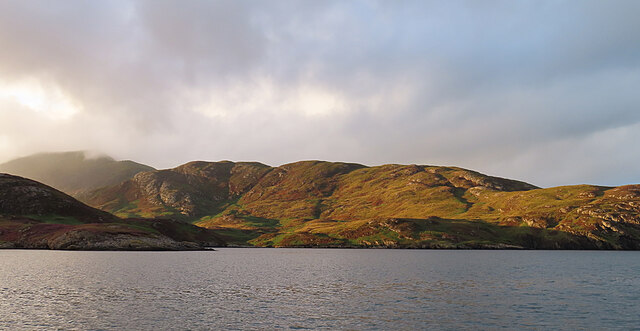
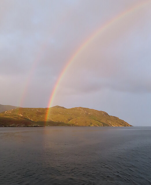
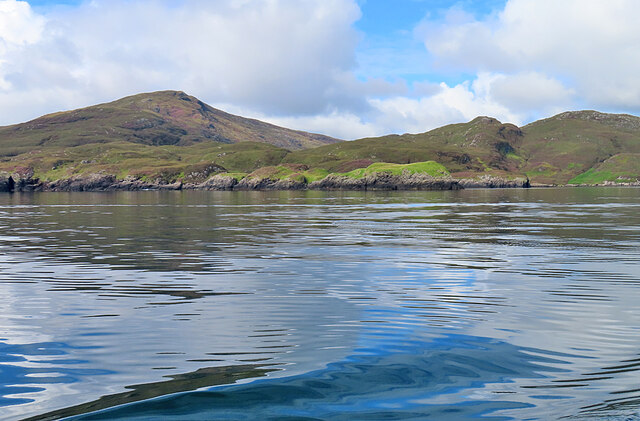
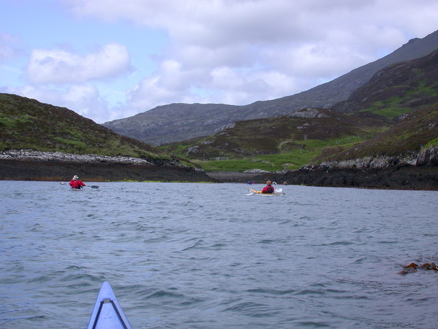
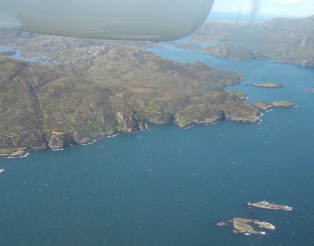
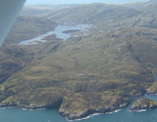
Eilean nan Gamhna Images
Images are sourced within 2km of 57.213331/-7.2683614 or Grid Reference NF8225. Thanks to Geograph Open Source API. All images are credited.
Eilean nan Gamhna is located at Grid Ref: NF8225 (Lat: 57.213331, Lng: -7.2683614)
Unitary Authority: Na h-Eileanan an Iar
Police Authority: Highlands and Islands
What 3 Words
///halt.absorb.ally. Near Lochboisdale, Na h-Eileanan Siar
Nearby Locations
Related Wikis

Stuley
Stuley is an island lying to the east of South Uist in the Outer Hebrides, Scotland. It lies off the section of coastline between Loch Eynort and Loch...

Beinn Mhòr (South Uist)
Beinn Mhòr is a mountain on the island of South Uist in the Outer Hebrides of Scotland. With a height of 620 metres (2,034 ft), it is the highest point...

Auratote
Auratote (Scottish Gaelic: Oratobht) is a location on South Uist in the Outer Hebrides, Scotland. Auratote is within the parish of South Uist. == References... ==

Beinn Ruigh Choinnich
Beinn Ruigh Choinnich is a hill which overlooks the port of Lochboisdale on the east coast of the island of South Uist in the Outer Hebrides Scotland....
Nearby Amenities
Located within 500m of 57.213331,-7.2683614Have you been to Eilean nan Gamhna?
Leave your review of Eilean nan Gamhna below (or comments, questions and feedback).