Blakeney Harbour

Sea, Estuary, Creek in Norfolk North Norfolk

England

Blakeney Harbour

New end forming on Blakeney Point Vegetation getting established and starting to capture sand.
New end forming on Blakeney Point Credit: Hugh Venables

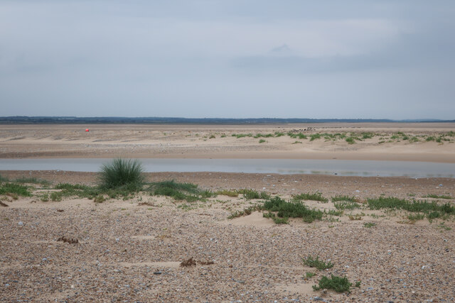
Blakeney Harbour is a picturesque coastal feature located on the North Norfolk coast of England in the county of Norfolk. It is a multifaceted area consisting of a sea, estuary, and creek, offering diverse natural beauty and recreational opportunities.

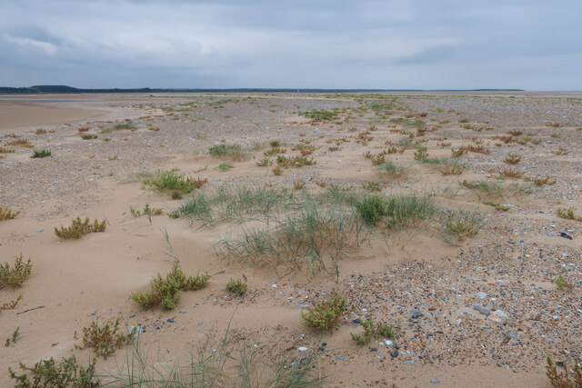
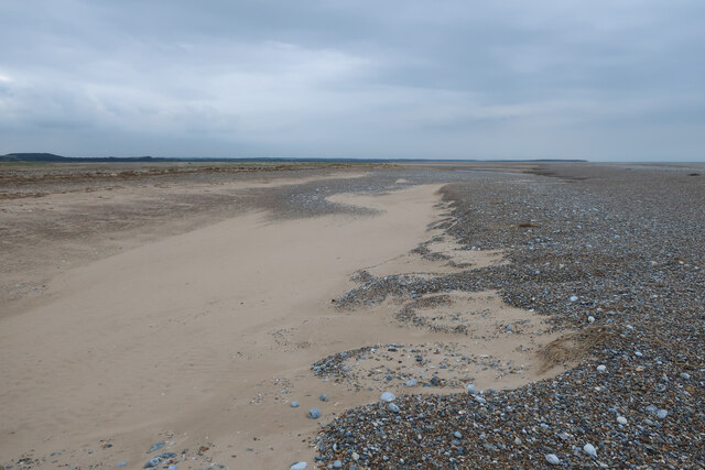
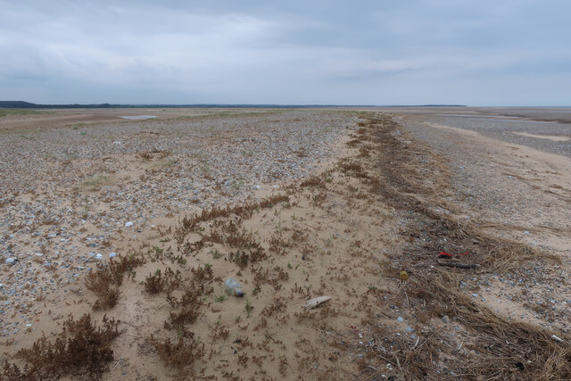
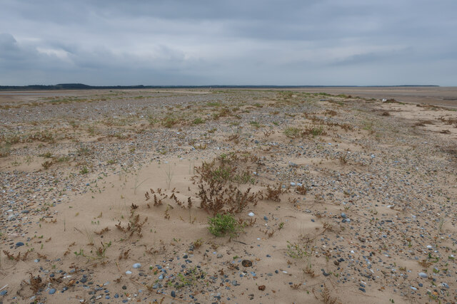
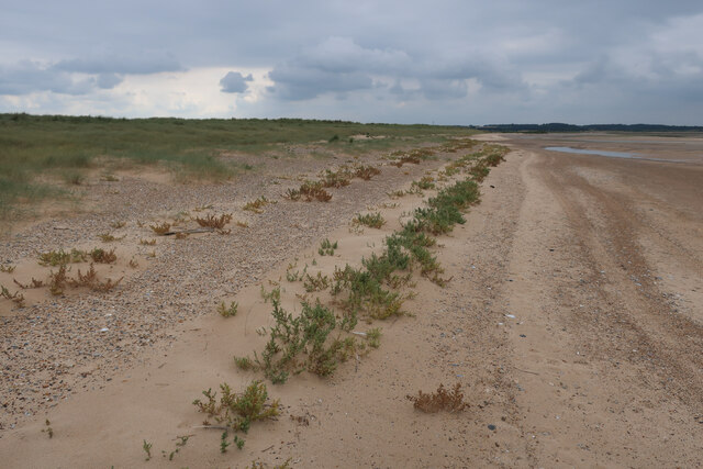
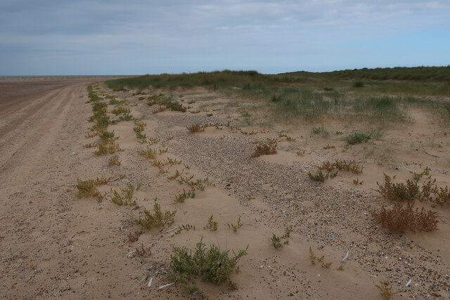
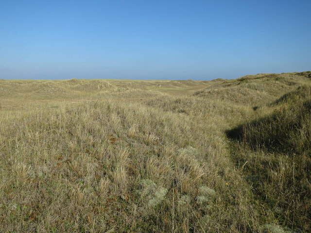
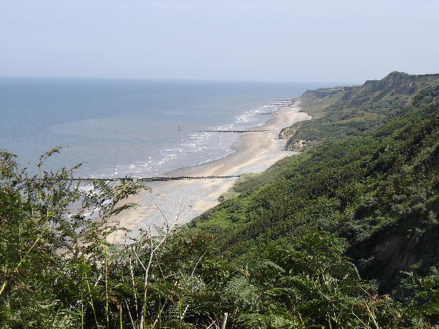
The sea aspect of Blakeney Harbour features a sandy beach that stretches for miles along the coast, providing a popular spot for sunbathing, swimming, and beachcombing. The crystal-clear waters are ideal for sailing, windsurfing, and other water sports.

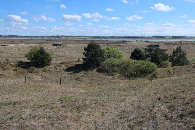
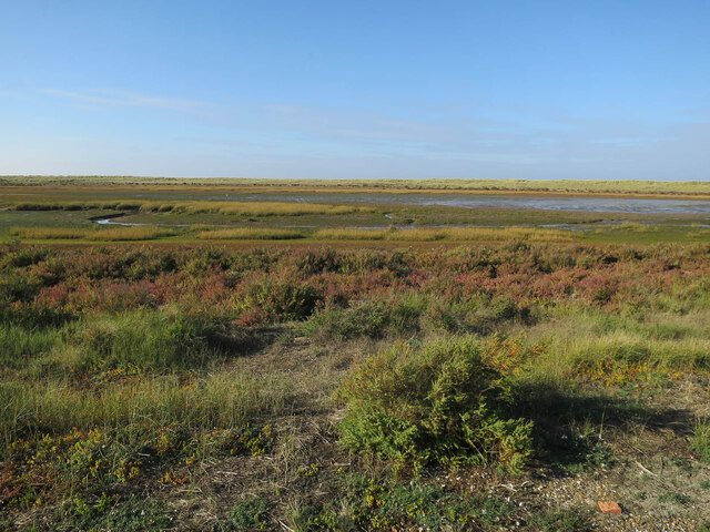
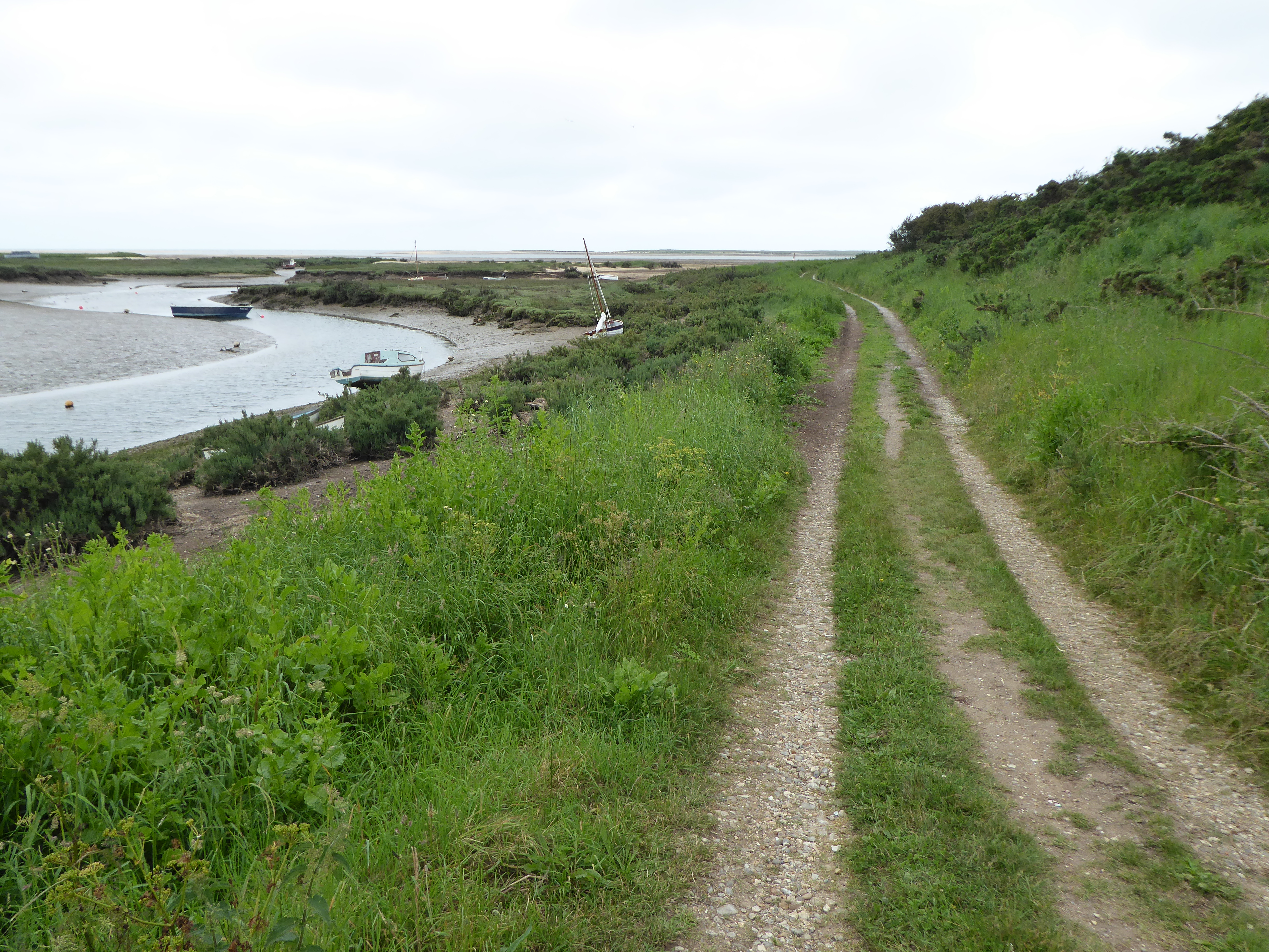
Moving inland, the estuary of Blakeney Harbour is a tidal inlet where the River Glaven meets the North Sea. This dynamic ecosystem is home to a rich variety of bird species, including avocets, terns, and oystercatchers, making it a significant site for birdwatching enthusiasts. The estuary also supports a thriving population of seals, and visitors can often spot these fascinating creatures basking on the sandbanks.

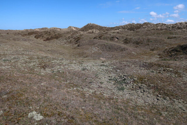
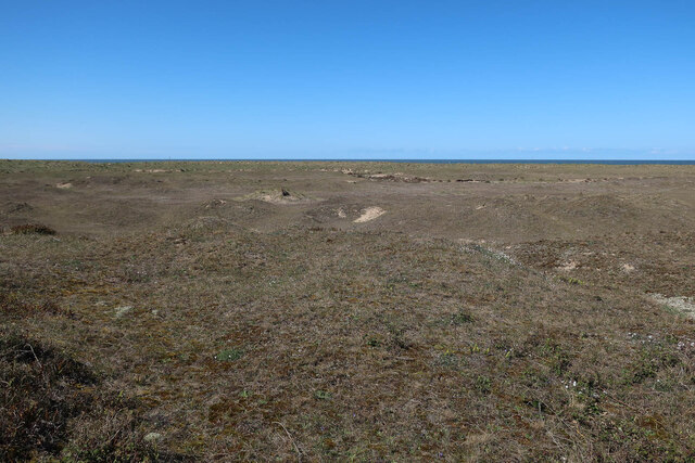
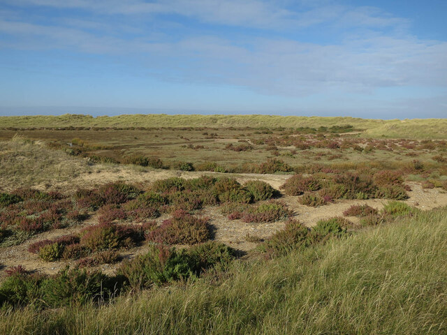
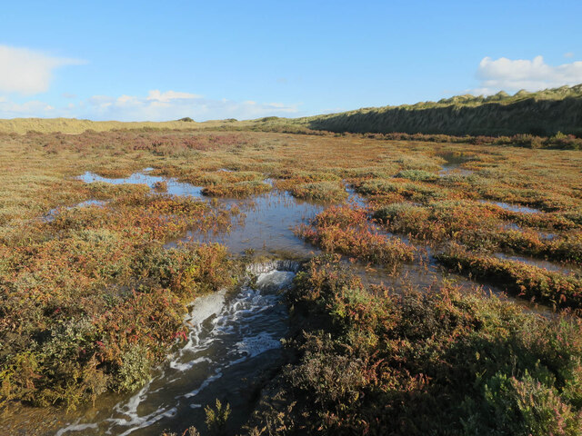
Further inland, the creek of Blakeney Harbour is a narrow, winding waterway that meanders through lush salt marshes and reed beds. Accessible only by boat, the creek offers a tranquil and idyllic environment for kayaking or exploring by small vessel. The creek is also known for its distinct flora and fauna, including rare orchids and marsh harriers.

Blakeney Harbour is a designated Area of Outstanding Natural Beauty, attracting nature lovers, photographers, and artists from all around. Its unique blend of sea, estuary, and creek creates a harmonious and diverse environment that is a delight to explore and immerse oneself in.

If you have any feedback on the listing, please let us know in the comments section below.

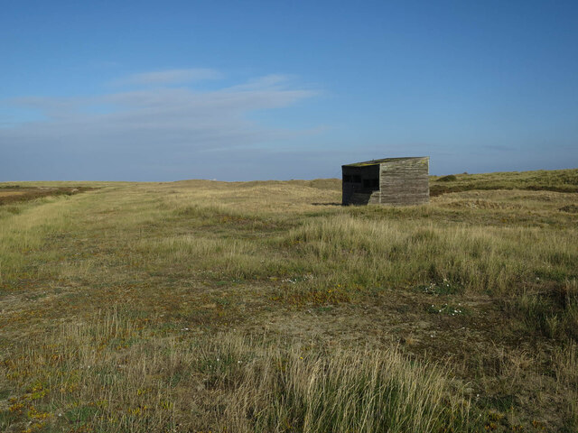
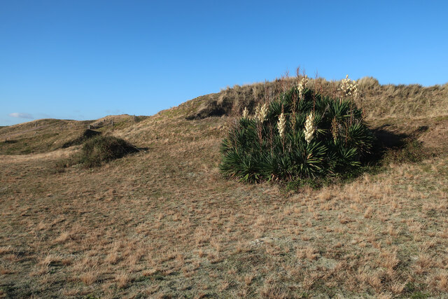
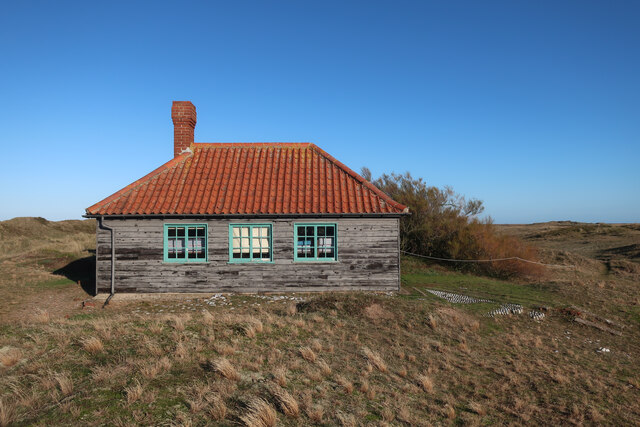
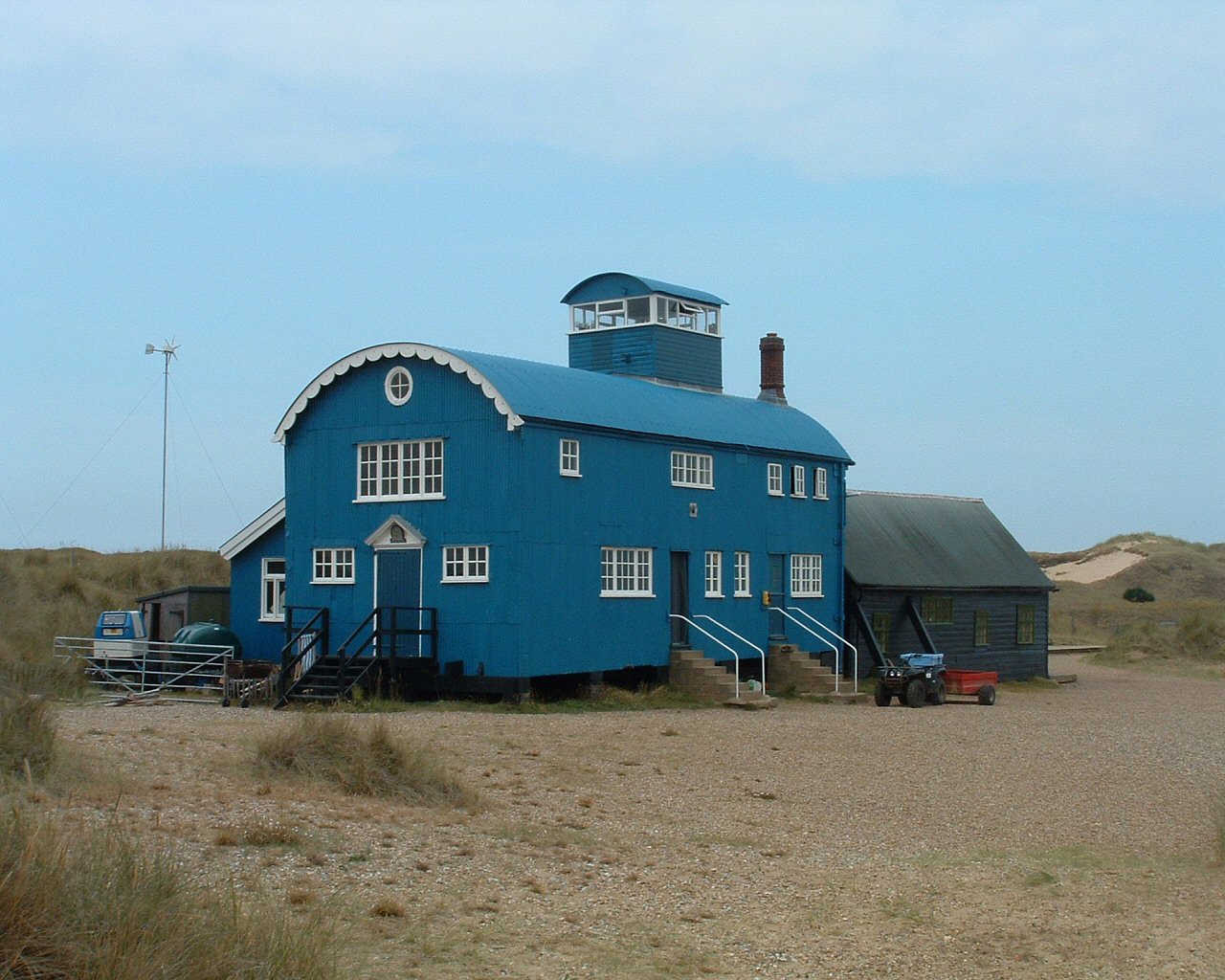
Blakeney Harbour Images

Images are sourced within 2km of 52.967352/0.95930904 or Grid Reference TF9845. Thanks to Geograph Open Source API. All images are credited.

New end forming on Blakeney Point Vegetation getting established and starting to capture sand.
New end forming on Blakeney Point
Vegetation getting established and starting to capture sand.
End of Blakeney Point Various shingle ridges at the end of the spit, with some vegetation getting established in places.
End of Blakeney Point
Various shingle ridges at the end of the spit, with some vegetation getting established in places.
New point forming Blakeney Point continuing to grow westwards.
New point forming
Blakeney Point continuing to grow westwards.
New point forming Blakeney Point continuing to grow westwards.
New point forming
Blakeney Point continuing to grow westwards.
End of Blakeney Point Looking across Blakeney Harbour
End of Blakeney Point
Looking across Blakeney Harbour
Far Point, Blakeney Point
End of Far Point As far as visitors are allowed, to give birds and seals some peace at the very end. Most of the year you can't get this far, due to breeding terns in summer and seals in winter.
End of Far Point
As far as visitors are allowed, to give birds and seals some peace at the very end. Most of the year you can't get this far, due to breeding terns in summer and seals in winter.
Grey dunes, Blakeney Point Mature dunes with large clumps of lichen.
Grey dunes, Blakeney Point
Mature dunes with large clumps of lichen.
Dunes on Blakeney Point
Blakeney Point plantation There are few other bushes on the point.
Blakeney Point plantation
There are few other bushes on the point.
Dunes on Blakeney Point
Tidal area, Blakeney Point Only covered on high spring tides.
Tidal area, Blakeney Point
Only covered on high spring tides.
Old hide, Blakeney Point Only left for Swallows to nest in.
Old hide, Blakeney Point
Only left for Swallows to nest in.
Stanley's Cockle Bight, Blakeney Point
Tidal area draining on Blakeney Point After a high spring tide.
Tidal area draining on Blakeney Point
After a high spring tide.
Yucca on Blakeney Point A long established plant currently in flower.
Yucca on Blakeney Point
A long established plant currently in flower.
Accommodation block, Blakeney Point Full of bunkbeds.
Accommodation block, Blakeney Point
Full of bunkbeds.
Show me another place!

Blakeney Harbour is located at Grid Ref: TF9845 (Lat: 52.967352, Lng: 0.95930904)

Administrative County: Norfolk

District: North Norfolk

Police Authority: Norfolk

What 3 Words

///quietest.sandwich.zone. Near Wells-next-the-Sea, Norfolk

Related Wikis

River Stiffkey

The River Stiffkey is a chalk stream running through an area of north Norfolk, England from its source near Swanton Novers to flow out into the North Sea...

Morston Cliff

Morston Cliff is a 1-hectare (2.5-acre) geological Site of Special Scientific Interest east of Wells-next-the-Sea in Norfolk. It is a Geological Conservation...

Norfolk Coast AONB

The Norfolk Coast Area of Outstanding Natural Beauty is a protected landscape in Norfolk, England. It covers over 450 km2 of coastal and agricultural...

Blakeney Point

Blakeney Point (designated as Blakeney National Nature Reserve) is a national nature reserve situated near to the villages of Blakeney, Morston and Cley...

Nearby Amenities

Located within 500m of 52.967352,0.95930904
Source: PGS
Lat/Long: 52.9718101/0.9583517
Source: PGS
Lat/Long: 52.9707749/0.9581796
Source: PGS
Lat/Long: 52.9706321/0.9582502
Source: PGS
Lat/Long: 52.9701171/0.9584085
Source: PGS
Lat/Long: 52.969741/0.9580497
Source: PGS
Lat/Long: 52.9694992/0.9578942
Source: PGS
Lat/Long: 52.9695998/0.9579413
Source: PGS
Lat/Long: 52.9703826/0.9584402
Source: PGS
Lat/Long: 52.9711847/0.958132
Source: PGS
Lat/Long: 52.9716248/0.9582303
Source: PGS
Lat/Long: 52.9702382/0.9584579
Source: PGS
Lat/Long: 52.9699883/0.9583247
Source: PGS
Lat/Long: 52.9694046/0.9578699
Source: PGS
Lat/Long: 52.9692293/0.9584074
Source: PGS
Lat/Long: 52.9691738/0.9580227
Source: PGS
Lat/Long: 52.9691859/0.9583152
Source: PGS
Lat/Long: 52.9715931/0.9609641
Source: PGS
Lat/Long: 52.9715687/0.9609838
Source: PGS
Lat/Long: 52.9714618/0.960842
Source: PGS
Lat/Long: 52.9712437/0.9600108
Source: PGS
Lat/Long: 52.9716002/0.9599178
Source: PGS
Lat/Long: 52.971606/0.960854
The data included in this document is from www.openstreetmap.org. The data is made available under ODbL.

Have you been to Blakeney Harbour?

Leave your review of Blakeney Harbour below (or comments, questions and feedback).