Stiffkey Freshes
Coastal Marsh, Saltings in Norfolk North Norfolk
England
Stiffkey Freshes
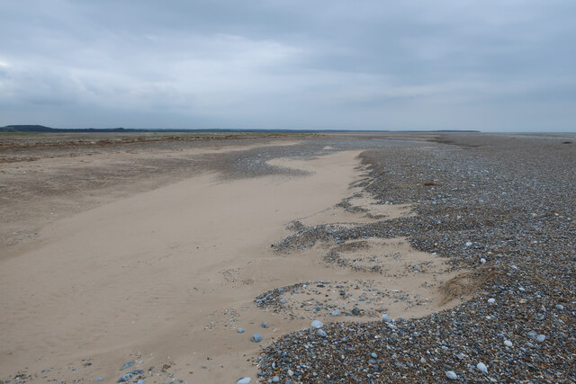
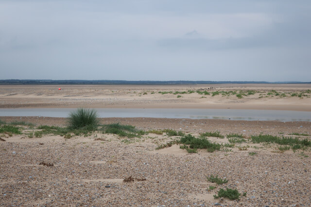
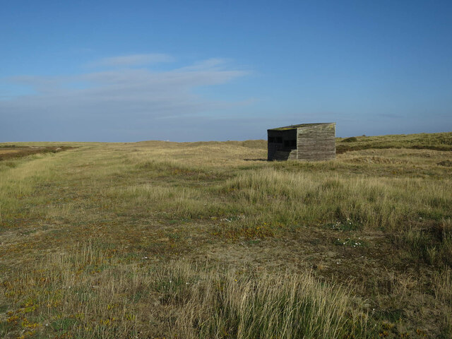
Stiffkey Freshes is a renowned coastal marshland located in Norfolk, England. Situated near the village of Stiffkey, the Freshes encompass a vast expanse of saltmarshes and saltings that are of significant ecological importance.
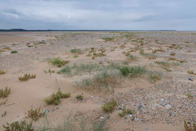
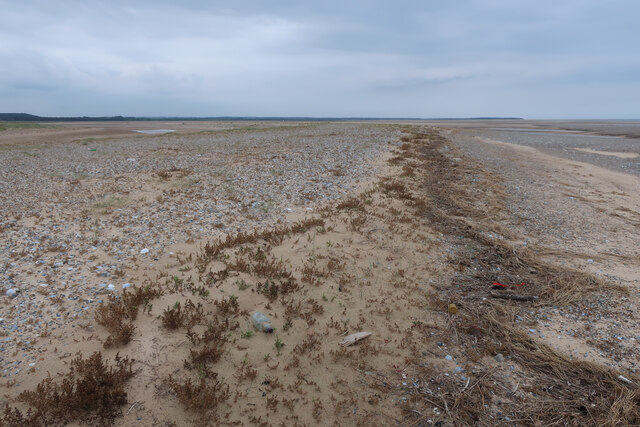
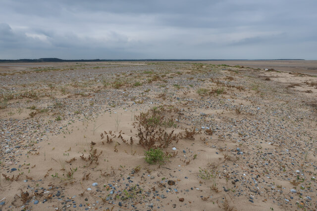
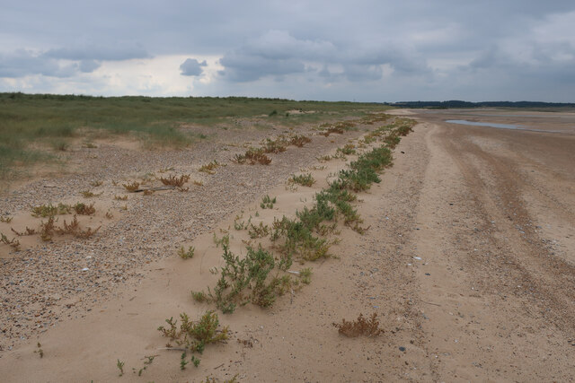
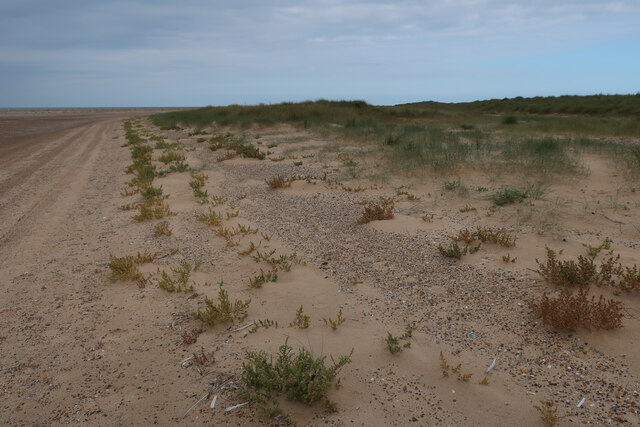
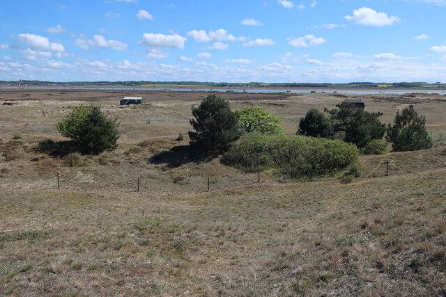
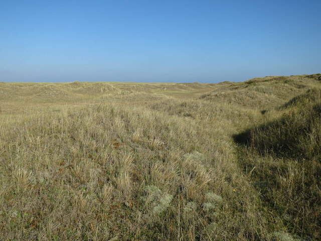
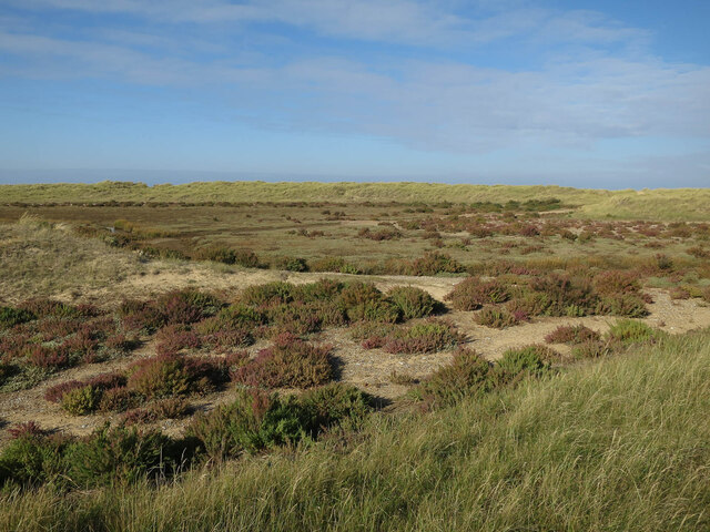
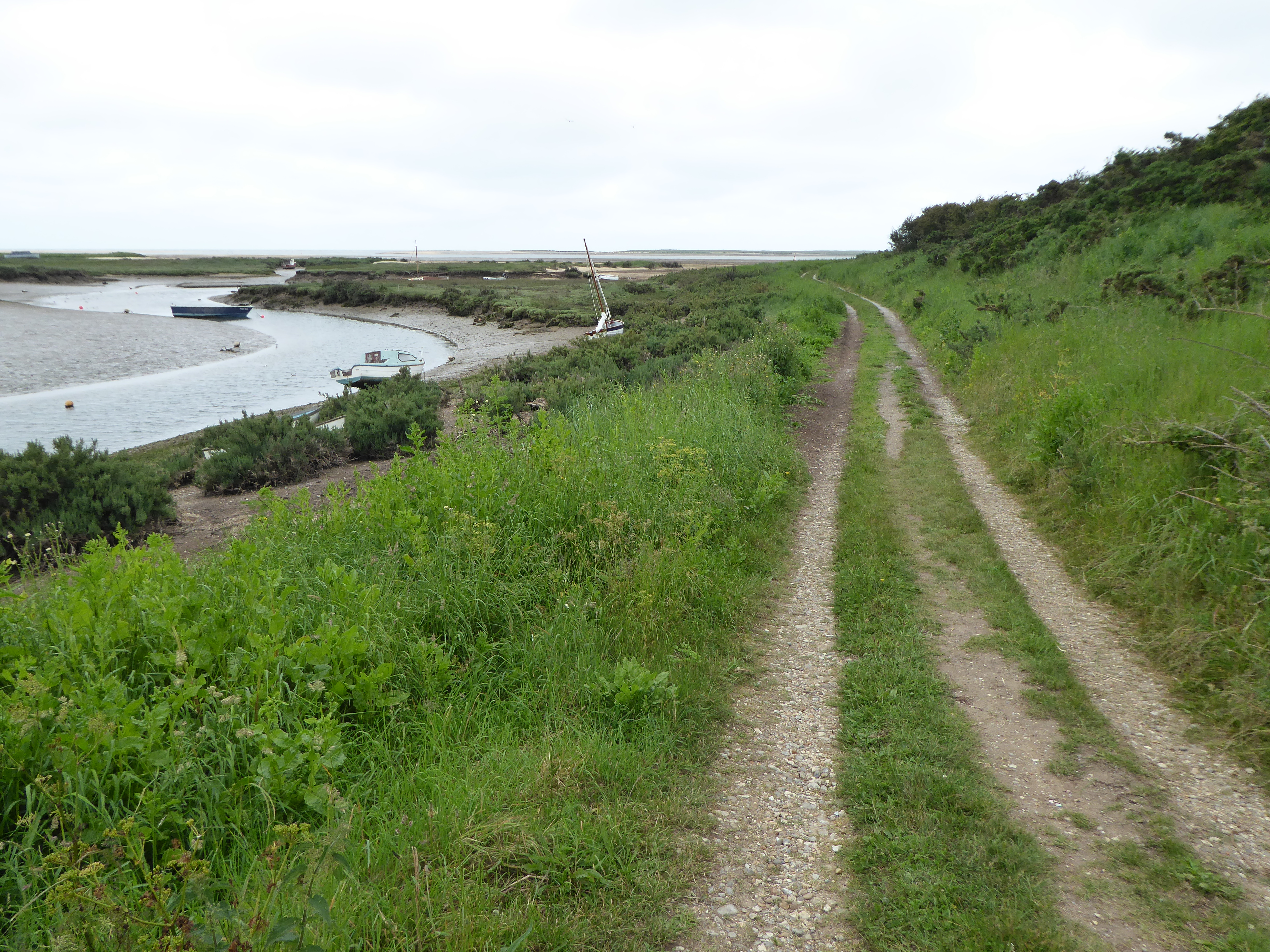
Covering an area of approximately 1,000 hectares, Stiffkey Freshes is a unique and diverse habitat that is home to a plethora of plant and animal species. The marshland is characterized by its expansive mudflats, saltwater channels, and saltmarsh vegetation, creating a rich ecosystem that supports a wide range of wildlife.
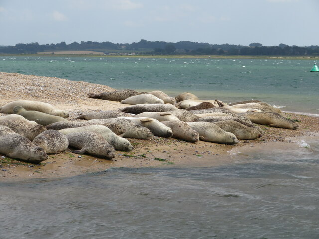
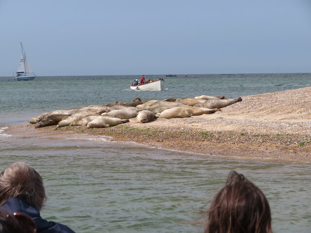
The saltmarshes of Stiffkey Freshes provide a critical habitat for a variety of bird species, making it an important site for birdwatchers and wildlife enthusiasts. Visitors may spot numerous wading birds, such as redshanks, curlews, and oystercatchers, as well as terns, gulls, and various species of ducks.
In addition to its avian inhabitants, Stiffkey Freshes is also home to an array of invertebrates, including several species of crabs, shrimp, and snails. These organisms play a crucial role in the functioning of the marshland ecosystem, providing food for many of the resident and migratory bird species.
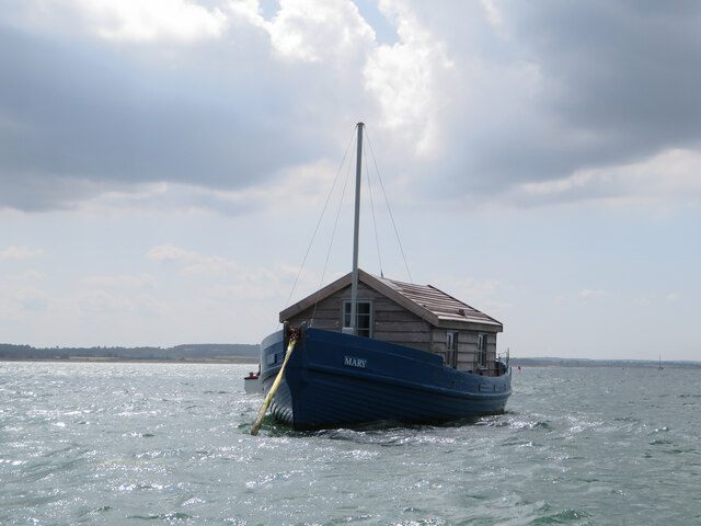
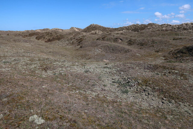
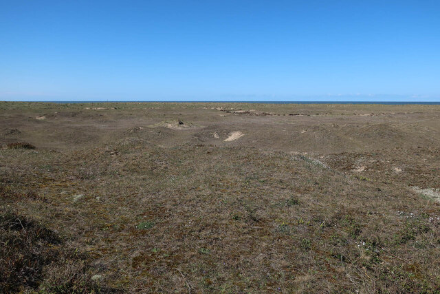
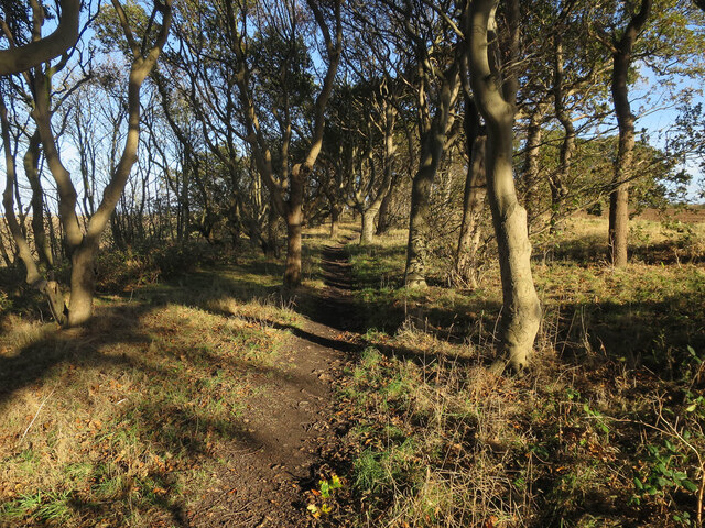
The natural beauty of Stiffkey Freshes, with its vast open spaces and breathtaking panoramic views, attracts visitors throughout the year. It offers opportunities for walking, birdwatching, and photography, allowing visitors to immerse themselves in the tranquility and serenity of this unique coastal marshland.
Overall, Stiffkey Freshes is a valuable and cherished natural treasure in Norfolk, offering both locals and tourists the chance to explore and appreciate the remarkable diversity of wildlife that thrives within its boundaries.
If you have any feedback on the listing, please let us know in the comments section below.
Stiffkey Freshes Images
Images are sourced within 2km of 52.967014/0.9591519 or Grid Reference TF9845. Thanks to Geograph Open Source API. All images are credited.

Stiffkey Freshes is located at Grid Ref: TF9845 (Lat: 52.967014, Lng: 0.9591519)
Administrative County: Norfolk
District: North Norfolk
Police Authority: Norfolk
What 3 Words
///chromatic.police.golf. Near Wells-next-the-Sea, Norfolk
Nearby Locations
Related Wikis

River Stiffkey
The River Stiffkey is a chalk stream running through an area of north Norfolk, England from its source near Swanton Novers to flow out into the North Sea...
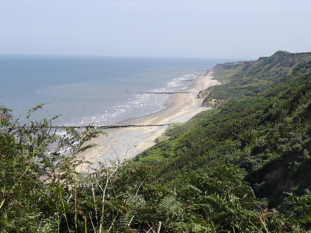
Morston Cliff
Morston Cliff is a 1-hectare (2.5-acre) geological Site of Special Scientific Interest east of Wells-next-the-Sea in Norfolk. It is a Geological Conservation...
Norfolk Coast AONB
The Norfolk Coast Area of Outstanding Natural Beauty is a protected landscape in Norfolk, England. It covers over 450 km2 of coastal and agricultural...
Blakeney Point
Blakeney Point (designated as Blakeney National Nature Reserve) is a national nature reserve situated near to the villages of Blakeney, Morston and Cley...

Stiffkey Valley
Stiffkey Valley is a 44.4-hectare (110-acre) biological Site of Special Scientific Interest east of Wells-next-the-Sea in Norfolk. It is in the Norfolk...

Cockthorpe Common, Stiffkey
Cockthorpe Common, Stiffkey is a 7.1-hectare (18-acre) biological Site of Special Scientific Interest east of Wells-next-the-Sea in Norfolk. It is in the...

Morston
Morston is a village and civil parish in the English county of Norfolk. It covers an area of 8.68 km2 (3.35 sq mi) and had a population of 86 in 42 households...

St John and St Mary, Stiffkey
St John the Baptist and St Mary's Church is the parish church of Stiffkey in the English county of Norfolk. It is dedicated to St John the Baptist and...
Related Videos

Blakeney Point, Norfolk, UK by cris-travel.com
Blakeney Point, Norfolk, UK by cris-travel.com You'll find us on https://cris-travel.com; Facebook Page CrisTravel&Estate; ...

Everest base camp
Arrived at Base Camp after a long hard walk.

Norfolk Coast Path Solo Wild Camp FAIL?
In this video I return to the beautiful Norfolk Coast Path, I planned to hike along the coast path for three days and wild camp along ...
1.448 feet, just holding a chain to stop you falling.
Angels landing in Zion Park.
Nearby Amenities
Located within 500m of 52.967014,0.9591519Have you been to Stiffkey Freshes?
Leave your review of Stiffkey Freshes below (or comments, questions and feedback).