Abbey Creek

Sea, Estuary, Creek in Essex

England

Abbey Creek

Old Milepost by the A11, Bow Road, Poplar parish Cast iron post by the A11, in parish of POPLAR (TOWER HAMLETS District), Bow Road E3, opposite Wellington Way, in front of shopping parade in pavement, on North side of road. Wedlake iron casting, erected by the Middlesex & Essex turnpike trust in the 19th century. 

Inscription reads:-
: STRATFORD 1½ : : LONDON / 2 / BOW PARISH : : WHITE / CHAPEL / CHURCH / 2 :
Maker:-
: WEDLAKE / HORNCHURCH / ESSEX. : 

Milestone Society National ID: MX_LILF02.
Old Milepost by the A11, Bow Road, Poplar parish Credit: John Dunford

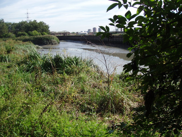
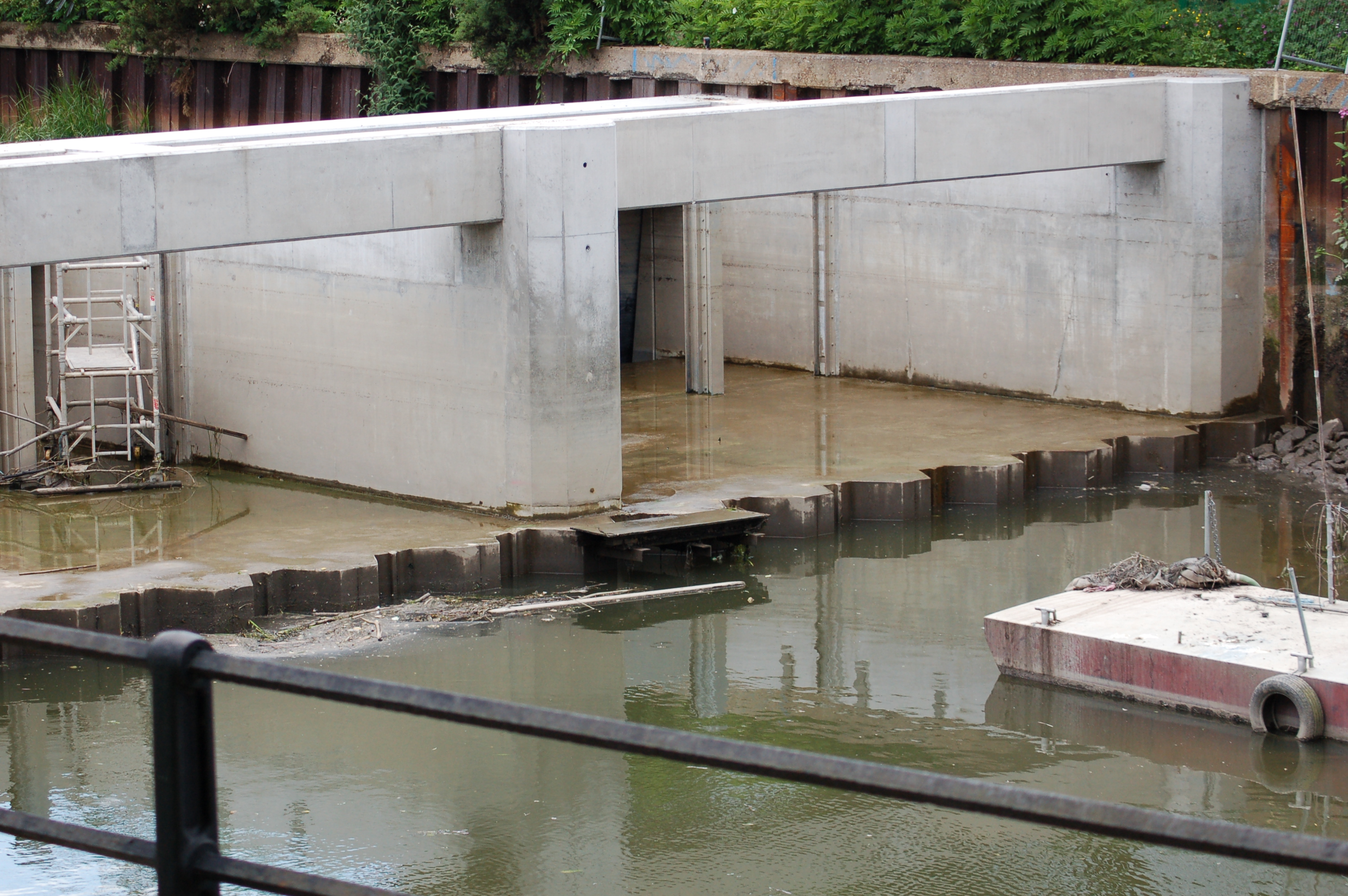
Abbey Creek is a picturesque waterway situated in the county of Essex, England. It is located on the eastern coast of the country, where the North Sea meets the River Thames Estuary. The creek itself is a narrow and meandering channel that stretches for approximately 3 miles, winding through the stunning Essex countryside.

The creek is surrounded by lush marshlands and reed beds, creating a diverse and rich ecosystem. These wetlands provide a habitat for a wide range of bird species, including herons, kingfishers, and various types of ducks. The area is also home to numerous fish species, such as trout and eels, which thrive in the brackish waters where the sea and river meet.

Abbey Creek not only offers a haven for wildlife enthusiasts but also provides recreational opportunities for visitors. The calm and tranquil waters make it an ideal spot for boating, fishing, and kayaking. The creek is navigable by small boats and canoes, allowing visitors to explore its scenic beauty at their own pace.

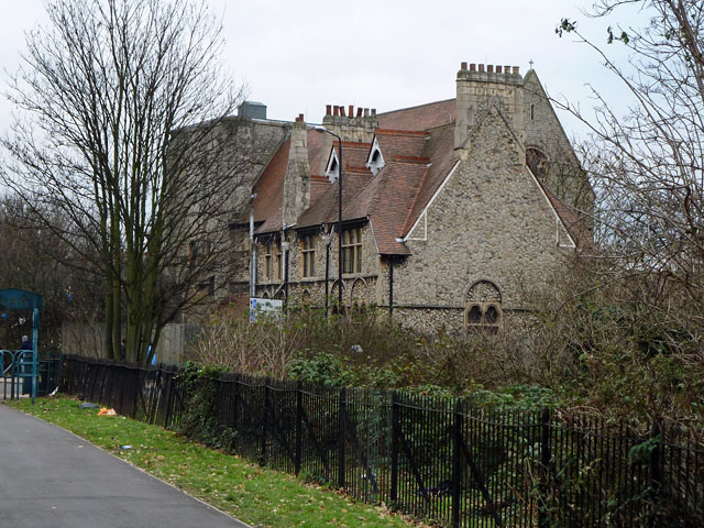
One of the notable features of Abbey Creek is the historic Abbey Creek Fort, which dates back to the 19th century. The fort was built to protect the area from potential invasion and served as a strategic defense point during various conflicts in the region. Today, the fort stands as a testament to the area's rich history and is a popular attraction for history buffs.

Overall, Abbey Creek is a hidden gem nestled in the heart of Essex, offering a unique blend of natural beauty and historical significance. Whether you are seeking tranquility, wildlife sightings, or a glimpse into the past, Abbey Creek is a place that promises to captivate and inspire all who visit.

If you have any feedback on the listing, please let us know in the comments section below.
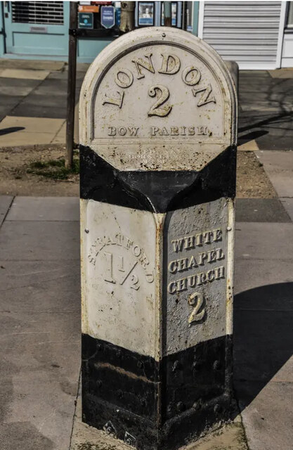
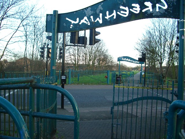
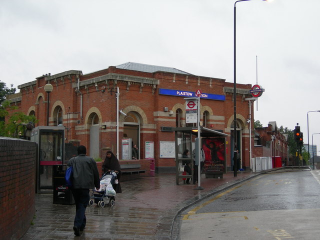
Abbey Creek Images

Images are sourced within 2km of 51.529175/-6.06E-05 or Grid Reference TQ3883. Thanks to Geograph Open Source API. All images are credited.

Old Milepost by the A11, Bow Road, Poplar parish Cast iron post by the A11, in parish of POPLAR (TOWER HAMLETS District), Bow Road E3, opposite Wellington Way, in front of shopping parade in pavement, on North side of road. Wedlake iron casting, erected by the Middlesex & Essex turnpike trust in the 19th century. 

Inscription reads:-
: STRATFORD 1½ : : LONDON / 2 / BOW PARISH : : WHITE / CHAPEL / CHURCH / 2 :
Maker:-
: WEDLAKE / HORNCHURCH / ESSEX. : 

Milestone Society National ID: MX_LILF02.
Old Milepost by the A11, Bow Road, Poplar parish
Cast iron post by the A11, in parish of POPLAR (TOWER HAMLETS District), Bow Road E3, opposite Wellington Way, in front of shopping parade in pavement, on North side of road. Wedlake iron casting, erected by the Middlesex & Essex turnpike trust in the 19th century. Inscription reads:- : STRATFORD 1½ : : LONDON / 2 / BOW PARISH : : WHITE / CHAPEL / CHURCH / 2 : Maker:- : WEDLAKE / HORNCHURCH / ESSEX. : Milestone Society National ID: MX_LILF02.
Plaistow High St The picture shows the junction of High St Plaistow and Upper Road. The shop on the corner indicates the changing ethnic mix here, it contains a Russian/Lithuanian delicatessen. The photo was taken looking southeast along the High St.
Plaistow High St
The picture shows the junction of High St Plaistow and Upper Road. The shop on the corner indicates the changing ethnic mix here, it contains a Russian/Lithuanian delicatessen. The photo was taken looking southeast along the High St.
Greenway The Greenway provides a traffic-free walking and cycling route for a few miles through one of the most densely populated areas of east London.  It runs from the Old Ford to Becton, over the top of the Northern Outfall Sewer.  The many road crossings are protected with lights and are gated to prevent motorised access.  Here Greenway crosses Balaam Street, Plaistow.
Greenway
The Greenway provides a traffic-free walking and cycling route for a few miles through one of the most densely populated areas of east London. It runs from the Old Ford to Becton, over the top of the Northern Outfall Sewer. The many road crossings are protected with lights and are gated to prevent motorised access. Here Greenway crosses Balaam Street, Plaistow.
National Collection of Liquidambar The Flag Pole Lawn at West Ham Park (see <a href="https://www.geograph.org.uk/gridref/TQ3984">TQ3984</a>) houses the national collection of liquidambar trees (Hamamelidaceae). Nearby greenhouses nurture the plants and flowers which are grown for planting out in the beds and gardens throughout the City of London.
National Collection of Liquidambar
The Flag Pole Lawn at West Ham Park (see TQ3984) houses the national collection of liquidambar trees (Hamamelidaceae). Nearby greenhouses nurture the plants and flowers which are grown for planting out in the beds and gardens throughout the City of London.
Plaistow Station The station is on High Street. The road eventually ends up in Stratford.
Plaistow Station
The station is on High Street. The road eventually ends up in Stratford.
Inscription on Plaistow YMCA
Sad sight at Plaistow YMCA
Date stone on the former West Ham Tram Depot
A worthy recipient I can think of no vehicle more deserving of having a London street named after it.
A worthy recipient
I can think of no vehicle more deserving of having a London street named after it.
War Memorial for the fallen of the West Ham Tram Company Many war memorials appeared in British towns and cities after the South African War of 1899-1902 (known popularly as the Boer War), but most were constructed after the First World War, known to contemporaries as the Great War (1914-19). These were updated after the Second World War (1939-45), usually by adding a plaque with the names of those killed in that conflict. Almost every town and village in Britain has a memorial erected after the Great War, the commonest types taking the form of a cross, an obelisk or a statue of a soldier. Some occupy a prominent public space; others stand in the local cemetery or can be found inside the local church. Memorials usually commemorate the inhabitants of a particular locality, the former pupils of a school, or the members of a military unit or branch of the armed forces. Other memorials, often bronze plaques placed indoors, commemorate the employees of a private company or public institution.
War Memorial for the fallen of the West Ham Tram Company
Many war memorials appeared in British towns and cities after the South African War of 1899-1902 (known popularly as the Boer War), but most were constructed after the First World War, known to contemporaries as the Great War (1914-19). These were updated after the Second World War (1939-45), usually by adding a plaque with the names of those killed in that conflict. Almost every town and village in Britain has a memorial erected after the Great War, the commonest types taking the form of a cross, an obelisk or a statue of a soldier. Some occupy a prominent public space; others stand in the local cemetery or can be found inside the local church. Memorials usually commemorate the inhabitants of a particular locality, the former pupils of a school, or the members of a military unit or branch of the armed forces. Other memorials, often bronze plaques placed indoors, commemorate the employees of a private company or public institution.
Plaistow Underground Station
Upper Road, London E13
High Street, Plaistow, London E13
Shops, High Street, Plaistow, London E13
Railway lines at Plaistow
St Andrew's Church, E13 This view is mainly of the vicarage. The site is very cramped, with a former church school hard up against the church at the other end. The site is now rather obscured by trees, and even the best view of the church from St Andrew's Road is mysteriously missing from Google Street View. The site was sold in the 1970s to "a US Free Church", but little further can be found out, other than that one reference says the congregation is now meeting elsewhere.
Victorian, all buildings on the site are grade II listed.
St Andrew's Church, E13
This view is mainly of the vicarage. The site is very cramped, with a former church school hard up against the church at the other end. The site is now rather obscured by trees, and even the best view of the church from St Andrew's Road is mysteriously missing from Google Street View. The site was sold in the 1970s to "a US Free Church", but little further can be found out, other than that one reference says the congregation is now meeting elsewhere. Victorian, all buildings on the site are grade II listed.
Margery Gate, West Ham Park The C19 wrought-iron gates give access from Ham Park Road to the park, which was laid out in the 1880s. A thorough description of the park's history is at <span class="nowrap"><a title="http://www.cityoflondon.gov.uk/nr/rdonlyres/48a011f9-a9be-4d3b-952c-e05308342309/0/os_wh_englishheritagereigstertext.pdf" rel="nofollow ugc noopener" href="http://www.cityoflondon.gov.uk/nr/rdonlyres/48a011f9-a9be-4d3b-952c-e05308342309/0/os_wh_englishheritagereigstertext.pdf">Link</a><img style="margin-left:2px;" alt="External link" title="External link - shift click to open in new window" src="https://s1.geograph.org.uk/img/external.png" width="10" height="10"/></span> .
Margery Gate, West Ham Park
The C19 wrought-iron gates give access from Ham Park Road to the park, which was laid out in the 1880s. A thorough description of the park's history is at LinkExternal link .
Gardens, West Ham Park The formal gardens in the southeast corner of the park, on the site of Ham House, and which contain <a href="https://www.geograph.org.uk/photo/111226">TQ4084 : National Collection of Liquidambar</a>.
Gardens, West Ham Park
The formal gardens in the southeast corner of the park, on the site of Ham House, and which contain TQ4084 : National Collection of Liquidambar.
Show me another place!

Abbey Creek is located at Grid Ref: TQ3883 (Lat: 51.529175, Lng: -6.06E-05)

Unitary Authority: Newham

Police Authority: Metropolitan

What 3 Words

///goals.holly.film. Near Poplar, London

Related Wikis

Abbey Mill, West Ham

The Abbey Mill was a medieval tidal watermill in West Ham, London, dating back to at least the 12th century. It was sited on Channelsea Island in the Channelsea...

Channelsea Island

Channelsea Island is a small man-made island in the centre of the Channelsea River in East London, near Three Mills Island in the London Borough of Newham...

Abbey Creek

Abbey Creek is a tidal river channel of the River Lea in London. It runs on the opposite side of Channelsea Island to the Channelsea River. == See also... ==

Abbey Mills Mosque

The Abbey Mills Mosque, also known as the London Markaz or Masjid-e-Ilyas, is a temporary mosque located in Stratford, east London, accommodating around...

Lee Tunnel

The Lee Tunnel, also known as the Stratford to East Ham deep tunnel, is a paradigm overflow sewer in East London for storage and conveyance of foul sewage...

Abbey Mills Pumping Station

Abbey Mills Pumping Station is a sewage pumping station in Mill Meads, East London, operated by Thames Water. The pumping station lifts sewage from the...

Channelsea River

Channelsea River is a tidal river in London, England, one of the Bow Back Rivers that flow into the Bow Creek part of the River Lea, which in turn flows...

Three Mills Wall River Weir

Three Mills Wall River Weir is a weir on the Bow Back Rivers, in Mill Meads in the London Borough of Newham, England, near to Three Mills. It was built...

Have you been to Abbey Creek?

Leave your review of Abbey Creek below (or comments, questions and feedback).