Mill Meads
Settlement in Essex
England
Mill Meads
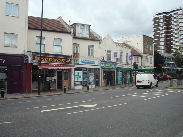
Mill Meads is a small village located in the county of Essex, England. Situated near the town of Harlow, it is set in a picturesque rural landscape, characterized by its rolling hills, lush green fields, and charming countryside atmosphere. The village is known for its tranquility and close-knit community, providing a peaceful retreat for its residents.
One of the notable features of Mill Meads is its historical significance. The village is home to several well-preserved windmills, which are a testament to its agricultural past. These windmills, dating back to the 18th century, serve as a reminder of the village's rich heritage and the importance of milling in the local economy.
In terms of amenities, Mill Meads offers a range of facilities to cater to the needs of its residents. It has a community center, a primary school, and a local pub, which serves as a social hub for the village. Additionally, there are several walking and cycling paths in the surrounding countryside, allowing residents to enjoy the natural beauty of the area.
While Mill Meads is primarily a residential village, it benefits from its proximity to larger towns such as Harlow and Bishop's Stortford, which provide a wider range of services and employment opportunities. This allows residents to enjoy the tranquility of village life while having access to urban amenities when needed.
Overall, Mill Meads offers a charming and idyllic setting, making it an attractive place to live for those seeking a peaceful and rural lifestyle within easy reach of larger towns in Essex.
If you have any feedback on the listing, please let us know in the comments section below.
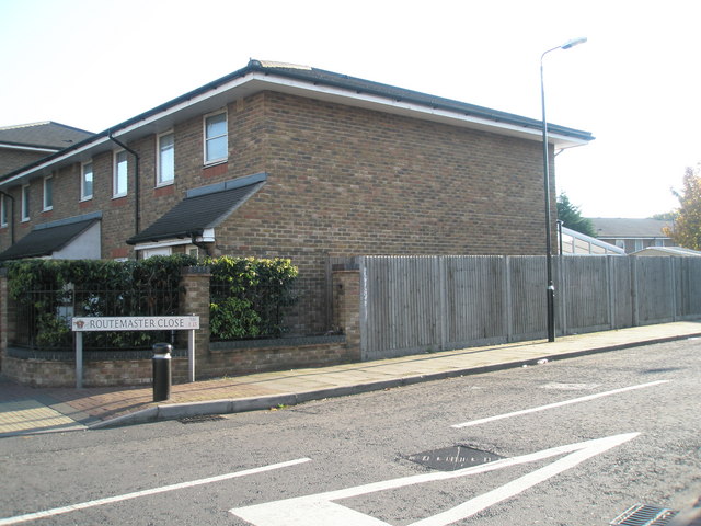
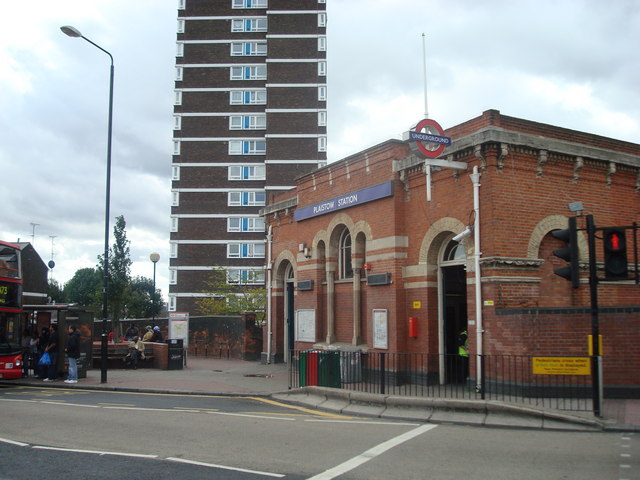
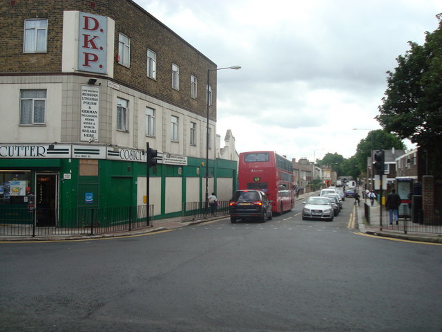
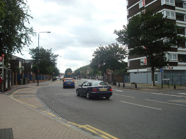
Mill Meads Images
Images are sourced within 2km of 51.529278/-0.001862 or Grid Reference TQ3883. Thanks to Geograph Open Source API. All images are credited.


Mill Meads is located at Grid Ref: TQ3883 (Lat: 51.529278, Lng: -0.001862)
Unitary Authority: Newham
Police Authority: Metropolitan
What 3 Words
///radar.tulip.mobile. Near Poplar, London
Nearby Locations
Related Wikis

Abbey Creek
Abbey Creek is a tidal river channel of the River Lea in London. It runs on the opposite side of Channelsea Island to the Channelsea River. == See also... ==

Abbey Mill, West Ham
The Abbey Mill was a medieval tidal watermill in West Ham, London, dating back to at least the 12th century. It was sited on Channelsea Island in the Channelsea...

Channelsea Island
Channelsea Island is a small man-made island in the centre of the Channelsea River in East London, near Three Mills Island in the London Borough of Newham...
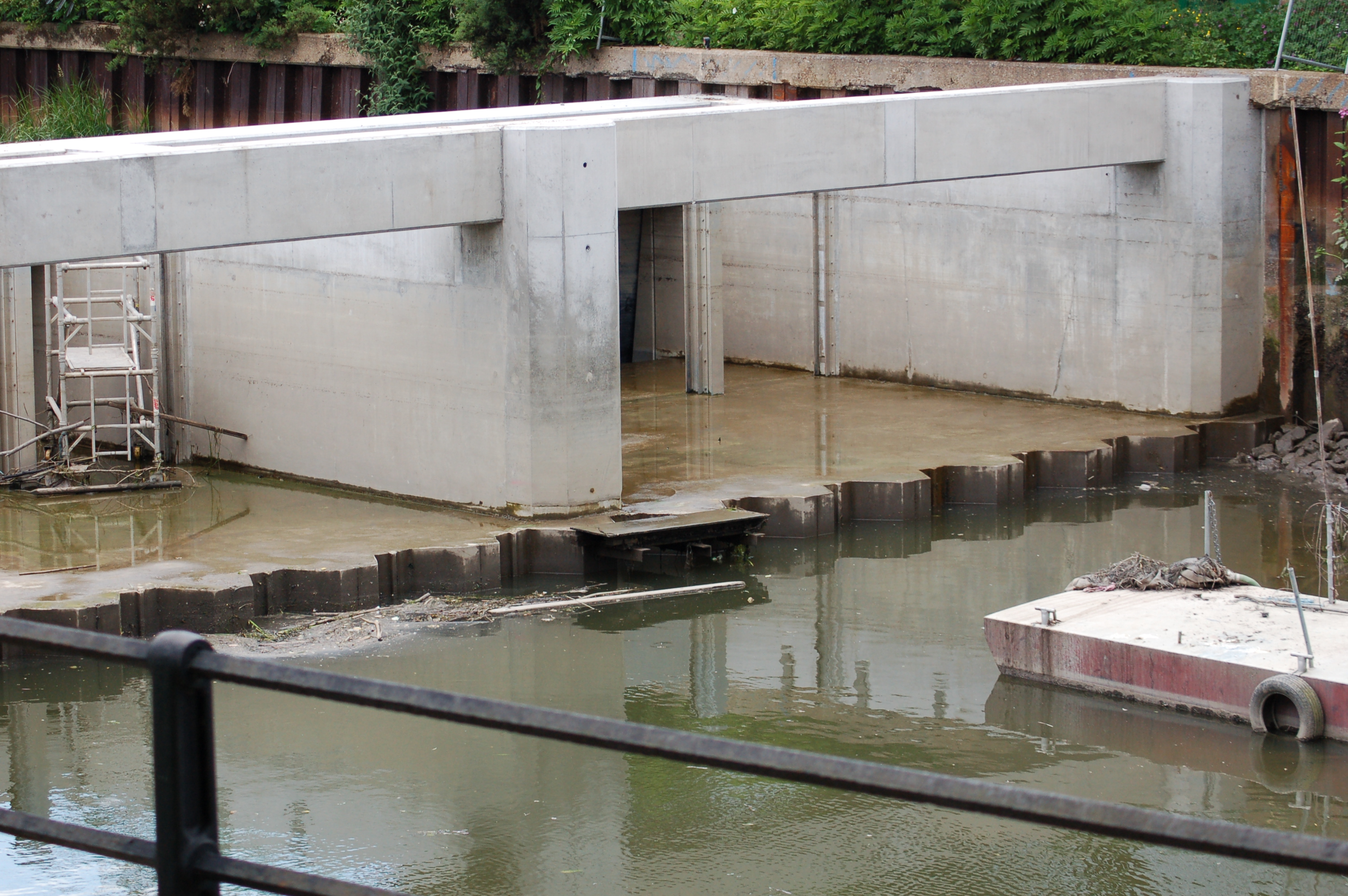
Three Mills Wall River Weir
Three Mills Wall River Weir is a weir on the Bow Back Rivers, in Mill Meads in the London Borough of Newham, England, near to Three Mills. It was built...
Nearby Amenities
Located within 500m of 51.529278,-0.001862Have you been to Mill Meads?
Leave your review of Mill Meads below (or comments, questions and feedback).