West Voe
Sea, Estuary, Creek in Shetland
Scotland
West Voe
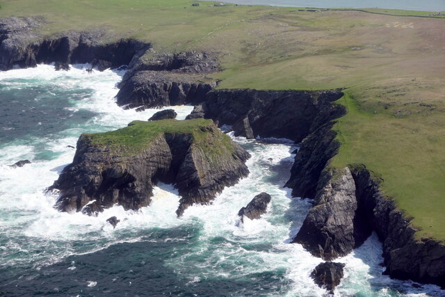
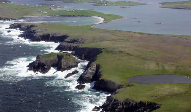
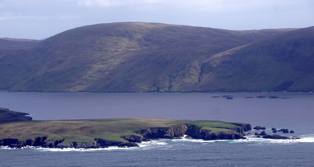
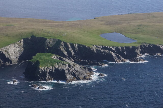
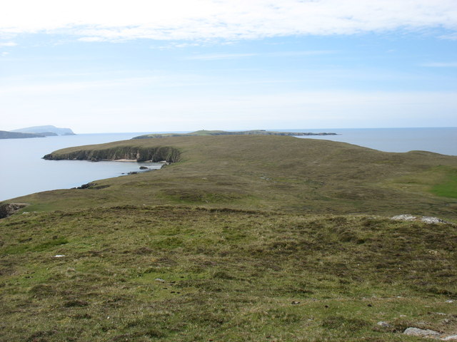
West Voe is a picturesque coastal area located in the Shetland Islands, Scotland. Situated on the southeastern coast of the mainland, West Voe encompasses a sea inlet, estuary, and creek. The area is characterized by its stunning natural beauty and diverse ecosystems.
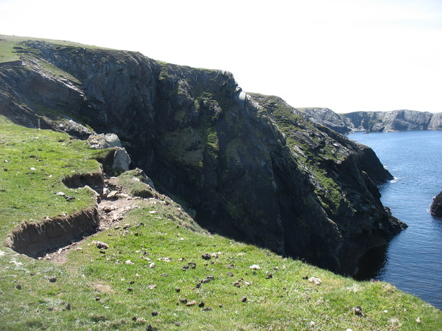
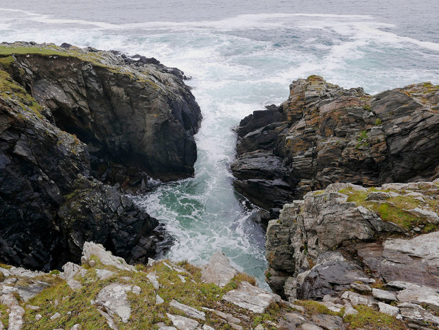
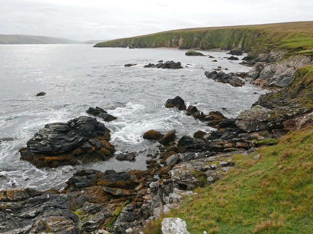
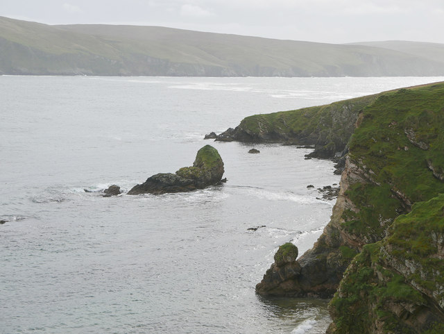
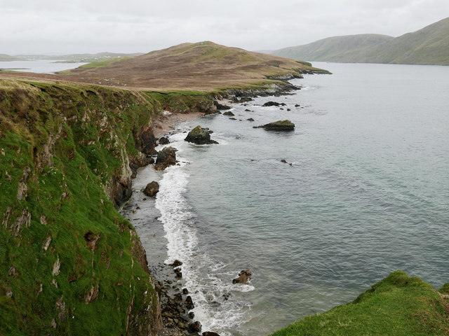
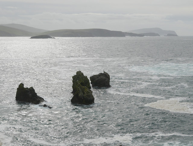
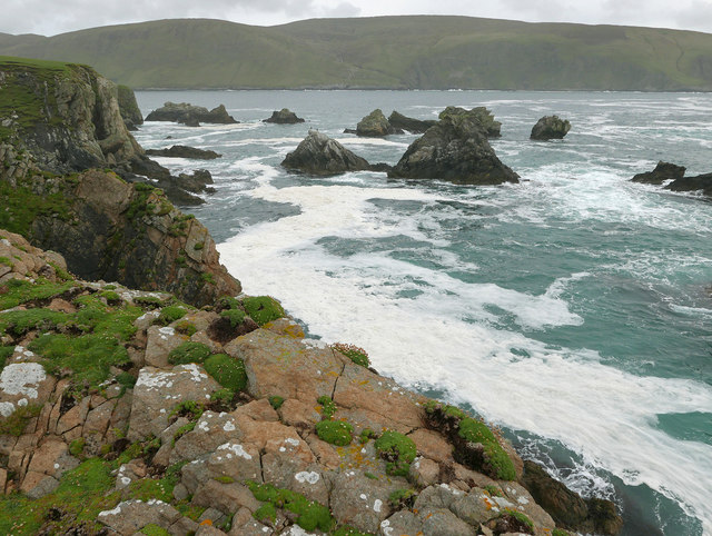
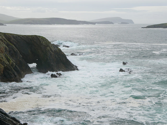
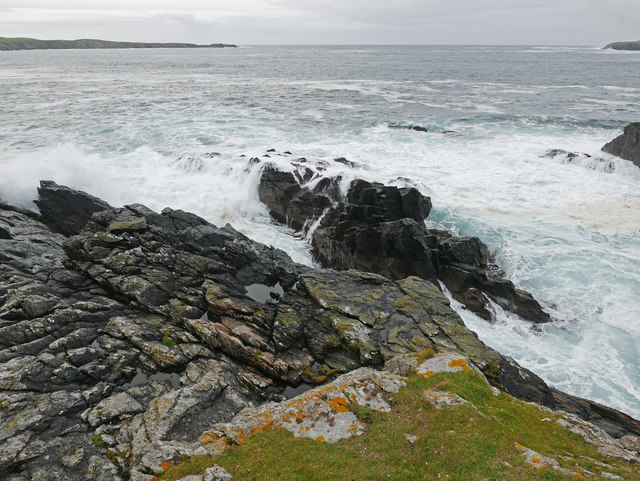
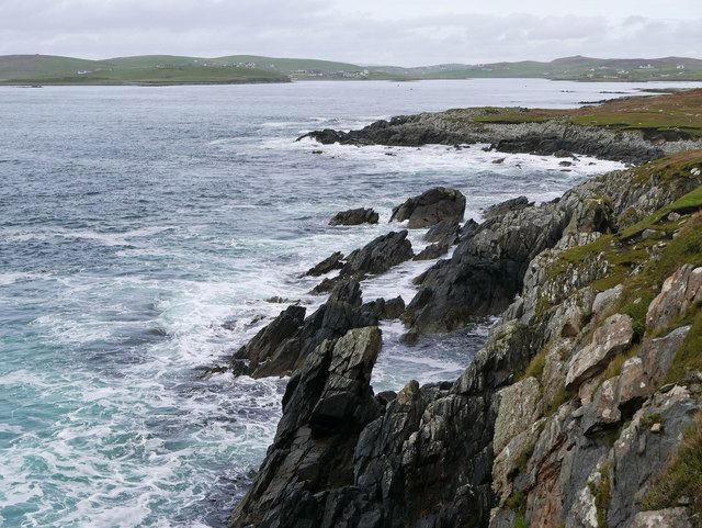
The sea at West Voe is part of the North Sea and offers breathtaking views of the open waters. It is known for its turbulent waves and is a popular spot for water sports enthusiasts, including surfers and kayakers. The sea also supports a rich marine life, attracting seals, dolphins, and various species of seabirds.
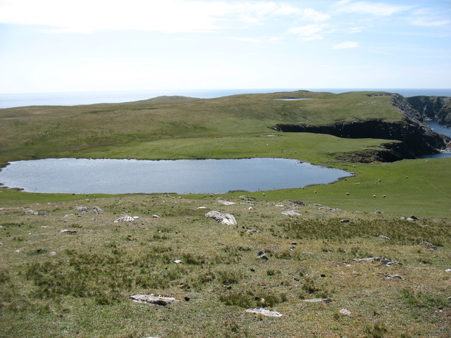
The estuary at West Voe is formed by the convergence of a river and the sea. It acts as a transitional zone between freshwater and saltwater environments, creating a unique habitat for both aquatic and terrestrial species. The estuary is home to a variety of wading birds, such as sandpipers and oystercatchers, which can be observed feeding along the shoreline.
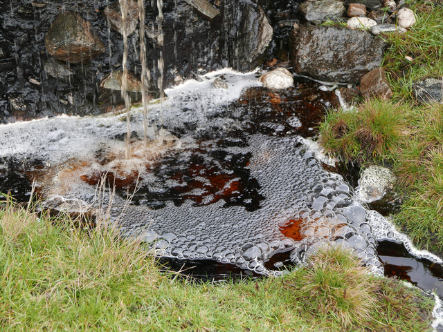
Within West Voe, there is also a small creek that meanders through the landscape. This creek provides a sheltered area for wildlife and offers a serene atmosphere for visitors to enjoy. The creek is surrounded by lush vegetation, including grasses and reeds, which provide a habitat for small mammals and insects.
Overall, West Voe in Shetland offers a diverse range of natural landscapes, from the powerful sea to the tranquil creek. Its unique combination of habitats supports a wide array of wildlife and provides visitors with an opportunity to immerse themselves in the beauty of the Shetland Islands.
If you have any feedback on the listing, please let us know in the comments section below.
West Voe Images
Images are sourced within 2km of 60.057821/-1.3377352 or Grid Reference HU3630. Thanks to Geograph Open Source API. All images are credited.

West Voe is located at Grid Ref: HU3630 (Lat: 60.057821, Lng: -1.3377352)
Unitary Authority: Shetland Islands
Police Authority: Highlands and Islands
What 3 Words
///club.submerge.makeovers. Near Sandwick, Shetland Islands
Nearby Locations
Related Wikis

West Burra
West Burra is one of the Scalloway Islands, a subgroup of the Shetland Islands in Scotland. It is connected by bridge to East Burra. With an area of 743...

Burra, Shetland
Burra (Old Norse: Barrey ) is the collective name for two of the Shetland Islands, West (pop. 753) and East Burra (pop. 66), which are connected by bridge...

Scalloway Islands
The Scalloway Islands are in Shetland opposite Scalloway on south west of the Mainland. They form a mini-archipelago and include: Burra (two islands linked...

South Havra
South Havra (Scots: Sooth Haevra; Old Norse: Hafrey), formerly Hevera, is an uninhabited island in the Scalloway Islands, Shetland, Scotland. == Geography... ==
East Burra
East Burra (Scots: East Burra; Old Norse: "Barrey") is one of the Scalloway Islands, a subgroup of the Shetland Islands in Scotland. It is connected by...

South Mainland
The South Mainland of the Shetland Islands is the southern peninsula of Mainland island. It lies south of Hellister (60° 14′N). The greater southern part...

Little Havra
Little Havra is a small island off the west of South Mainland in Shetland. It is 35 metres (115 ft) at its highest point, upon which there is a cairn....

Cunningsburgh
Cunningsburgh, formerly also known as Coningsburgh (Old Norse: Konungsborgr meaning "King's castle"), is a new hamlet and ancient parish in the south of...
Nearby Amenities
Located within 500m of 60.057821,-1.3377352Have you been to West Voe?
Leave your review of West Voe below (or comments, questions and feedback).