Tanners Lake

Sea, Estuary, Creek in Hampshire New Forest

England

Tanners Lake

Pylewell, farm buildings At Pylewell Home Farm.
Pylewell, farm buildings Credit: Mike Faherty

Tanners Lake is a picturesque water body located in the county of Hampshire, England. Nestled amidst the stunning landscapes of the South Downs National Park, this natural lake offers a tranquil retreat for visitors seeking solace and natural beauty.

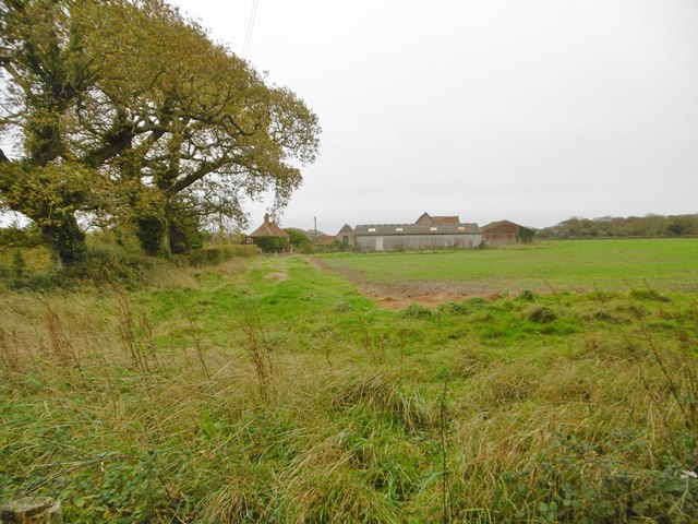
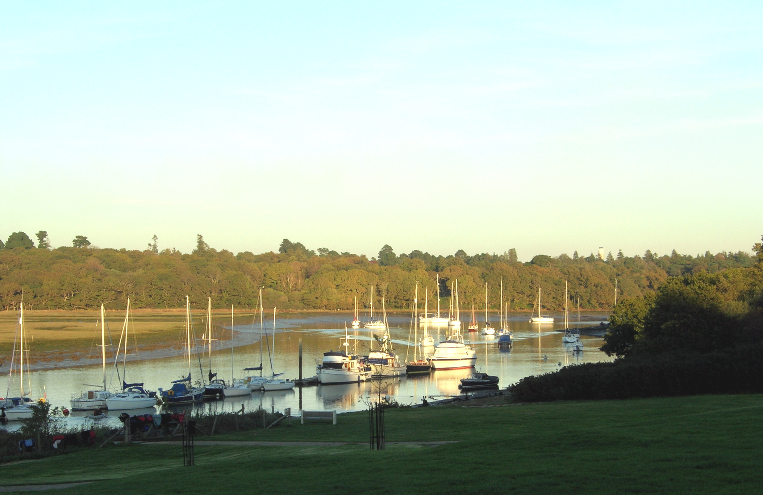
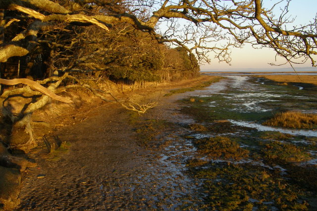
Situated near the coastal town of Emsworth, Tanners Lake is a tidal estuary that connects to Chichester Harbour. The lake is formed by the convergence of several small creeks, creating a unique ecosystem that supports a diverse range of flora and fauna. The estuary is surrounded by marshlands, mudflats, and salt marshes, which are home to a rich variety of bird species, including wading birds, ducks, and geese.

At high tide, Tanners Lake becomes a haven for water sports enthusiasts, who can be seen kayaking, paddleboarding, and sailing across its calm waters. The lake's close proximity to the sea also makes it an excellent spot for fishing, with anglers often trying their luck at catching sea bass, flounder, and mullet.

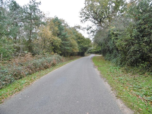
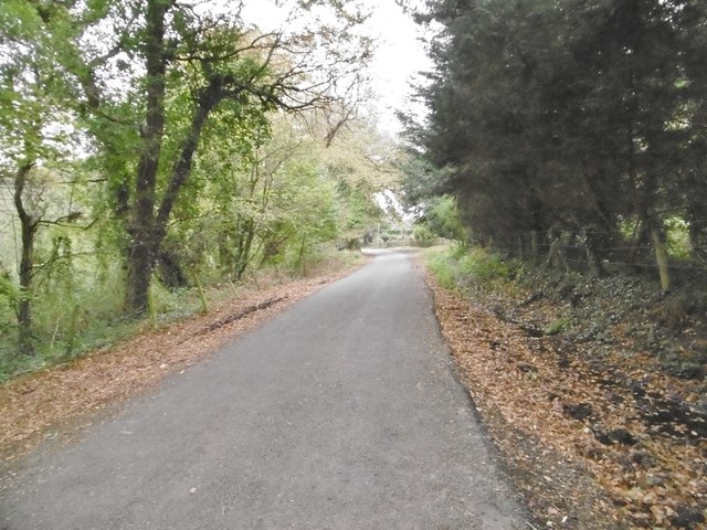
The area surrounding Tanners Lake offers ample opportunities for exploration and leisurely walks. The nearby coastal path leads visitors to stunning viewpoints, where they can enjoy panoramic vistas of the surrounding countryside and the sea beyond. The lake is also a starting point for several scenic walking routes, including the Solent Way and the South Downs Way.

Overall, Tanners Lake in Hampshire is a captivating destination that seamlessly blends the tranquility of the countryside with the beauty of the sea, estuary, and creek. Whether it's birdwatching, water sports, or simply enjoying the serenity of nature, this hidden gem has something to offer for everyone.

If you have any feedback on the listing, please let us know in the comments section below.
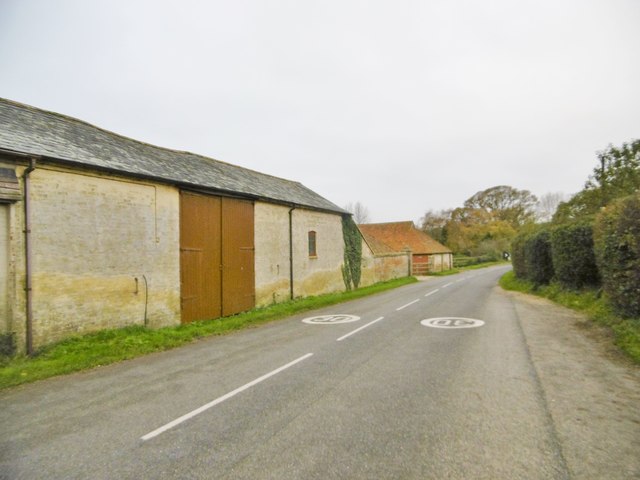
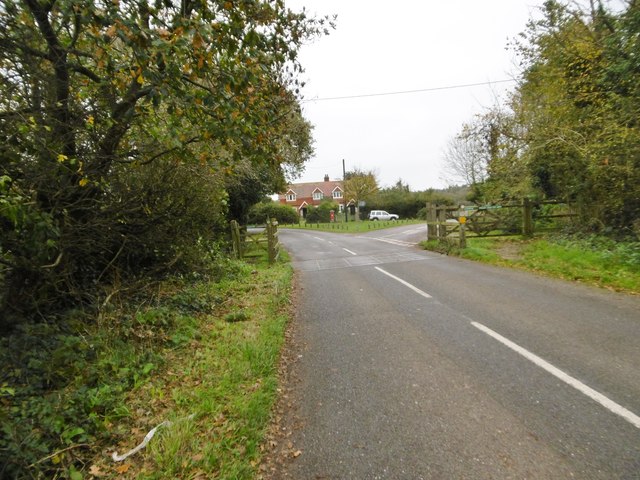
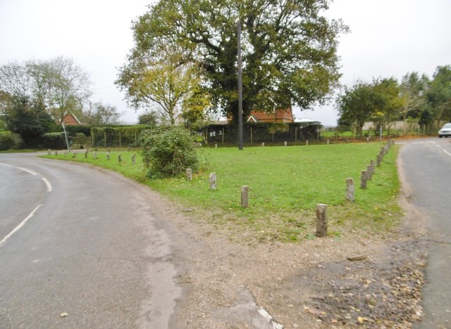
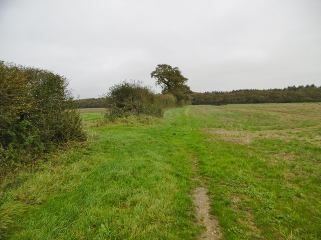
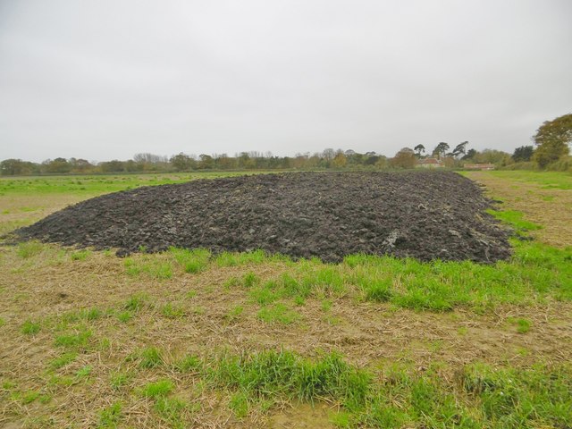
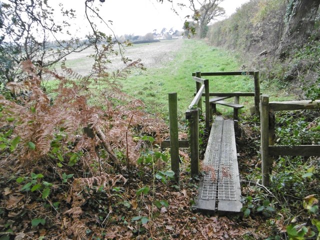
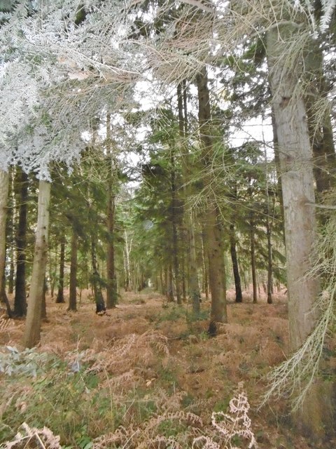
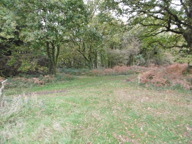
Tanners Lake Images

Images are sourced within 2km of 50.756234/-1.477354 or Grid Reference SZ3695. Thanks to Geograph Open Source API. All images are credited.

Pylewell, farm buildings At Pylewell Home Farm.
Pylewell, farm buildings
At Pylewell Home Farm.
Pylewell, cattle grid At the settlement's entrance. East of here, New Forest Commoners' livestock are allowed to graze.
Pylewell, cattle grid
At the settlement's entrance. East of here, New Forest Commoners' livestock are allowed to graze.
Pylewell, green At the junction of roads to Sowley, East End and Walhampton. This forms part of the Solent Way. <span class="nowrap"><a title="http://www3.hants.gov.uk/longdistance/walking-solentway.htm" rel="nofollow ugc noopener" href="http://www3.hants.gov.uk/longdistance/walking-solentway.htm">Link</a><img style="margin-left:2px;" alt="External link" title="External link - shift click to open in new window" src="https://s1.geograph.org.uk/img/external.png" width="10" height="10"/></span>
Pylewell, green
At the junction of roads to Sowley, East End and Walhampton. This forms part of the Solent Way. LinkExternal link
Pylewell, footpath Along a field margin, from Pylewell to Sowley Lane, via Sowley Brooms. This path forms part of the Solent Way: <span class="nowrap"><a title="http://www3.hants.gov.uk/longdistance/walking-solentway.htm" rel="nofollow ugc noopener" href="http://www3.hants.gov.uk/longdistance/walking-solentway.htm">Link</a><img style="margin-left:2px;" alt="External link" title="External link - shift click to open in new window" src="https://s1.geograph.org.uk/img/external.png" width="10" height="10"/></span>
Pylewell, footpath
Along a field margin, from Pylewell to Sowley Lane, via Sowley Brooms. This path forms part of the Solent Way: LinkExternal link
Sowley, clamp In a field next to Sowley Brooms.
Sowley, clamp
In a field next to Sowley Brooms.
Sowley, footbridge & stile Leaving Sowley Brooms to cross farmland to Pylewell, on the Solent Way: <span class="nowrap"><a title="http://www3.hants.gov.uk/longdistance/walking-solentway.htm" rel="nofollow ugc noopener" href="http://www3.hants.gov.uk/longdistance/walking-solentway.htm">Link</a><img style="margin-left:2px;" alt="External link" title="External link - shift click to open in new window" src="https://s1.geograph.org.uk/img/external.png" width="10" height="10"/></span>
Sowley, footbridge & stile
Leaving Sowley Brooms to cross farmland to Pylewell, on the Solent Way: LinkExternal link
Sowley Brooms A mixed woodland plantation; in this section, conifers.
Sowley Brooms
A mixed woodland plantation; in this section, conifers.
Sowley Brooms, footpath junction Take the second path for Pylewell, on the Solent Way. <span class="nowrap"><a title="http://www3.hants.gov.uk/longdistance/walking-solentway.htm" rel="nofollow ugc noopener" href="http://www3.hants.gov.uk/longdistance/walking-solentway.htm">Link</a><img style="margin-left:2px;" alt="External link" title="External link - shift click to open in new window" src="https://s1.geograph.org.uk/img/external.png" width="10" height="10"/></span>
Sowley Brooms, footpath junction
Take the second path for Pylewell, on the Solent Way. LinkExternal link
Sowley, farm track Between Sowley Brooms (left) and open farmland; on the Solent Way. <span class="nowrap"><a title="http://www3.hants.gov.uk/longdistance/walking-solentway.htm" rel="nofollow ugc noopener" href="http://www3.hants.gov.uk/longdistance/walking-solentway.htm">Link</a><img style="margin-left:2px;" alt="External link" title="External link - shift click to open in new window" src="https://s1.geograph.org.uk/img/external.png" width="10" height="10"/></span>
Sowley, farm track
Between Sowley Brooms (left) and open farmland; on the Solent Way. LinkExternal link
Sowley, Solent Way Part of the long-distance path from Milford to Emsworth; this section skirts farmland to Sowley Lane. <span class="nowrap"><a title="http://www3.hants.gov.uk/longdistance/walking-solentway.htm" rel="nofollow ugc noopener" href="http://www3.hants.gov.uk/longdistance/walking-solentway.htm">Link</a><img style="margin-left:2px;" alt="External link" title="External link - shift click to open in new window" src="https://s1.geograph.org.uk/img/external.png" width="10" height="10"/></span>
Sowley, Solent Way
Part of the long-distance path from Milford to Emsworth; this section skirts farmland to Sowley Lane. LinkExternal link
Sowley, cropland A field of young cereals.
Sowley, cropland
A field of young cereals.
Sowley, kissing gate Leaving Sowley Lane, to walk next to farmland towards Pylewell, on the Solent Way: <span class="nowrap"><a title="http://www3.hants.gov.uk/longdistance/walking-solentway.htm" rel="nofollow ugc noopener" href="http://www3.hants.gov.uk/longdistance/walking-solentway.htm">Link</a><img style="margin-left:2px;" alt="External link" title="External link - shift click to open in new window" src="https://s1.geograph.org.uk/img/external.png" width="10" height="10"/></span>
Sowley, kissing gate
Leaving Sowley Lane, to walk next to farmland towards Pylewell, on the Solent Way: LinkExternal link
Sowley, Browns Lane One of several lanes from Sowley Lane to the coastline; all are private, and give no access to the coast. This lane leads to Sowley Gate House.
Sowley, Browns Lane
One of several lanes from Sowley Lane to the coastline; all are private, and give no access to the coast. This lane leads to Sowley Gate House.
Sowley Farm Looking at surrounding fields, the farm is given over to cereal production.
Sowley Farm
Looking at surrounding fields, the farm is given over to cereal production.
Sowley Pond In scale, more of a lake than a pond; fed by Crockford Stream, and flowing into the Solent at Sowley Marsh. <span class="nowrap"><a title="https://en.wikipedia.org/wiki/Sowley_Pond" rel="nofollow ugc noopener" href="https://en.wikipedia.org/wiki/Sowley_Pond">Link</a><img style="margin-left:2px;" alt="External link" title="External link - shift click to open in new window" src="https://s1.geograph.org.uk/img/external.png" width="10" height="10"/></span>
Sowley Pond
In scale, more of a lake than a pond; fed by Crockford Stream, and flowing into the Solent at Sowley Marsh. LinkExternal link
Sowley, drive Entrance to Sowley House (in the distance), centrepiece of the Sowley Estate.
Sowley, drive
Entrance to Sowley House (in the distance), centrepiece of the Sowley Estate.
Sowley Lane Country lane from Pylewell to St Leonards Road.
Sowley Lane
Country lane from Pylewell to St Leonards Road.
Sowley Lane Country lane from Pylewell to St Leonards Road.
Sowley Lane
Country lane from Pylewell to St Leonards Road.
Show me another place!

Tanners Lake is located at Grid Ref: SZ3695 (Lat: 50.756234, Lng: -1.477354)

Administrative County: Hampshire

District: New Forest

Police Authority: Hampshire

What 3 Words

///studio.cushy.ramble. Near Lymington, Hampshire

Related Wikis

South Hampshire Coast

The South Hampshire Coast was an Area of Outstanding Natural Beauty (AONB) in Hampshire, England, UK that was subsumed into the New Forest National Park...

Boldre Foreshore

Boldre Foreshore is a 193.3-hectare (478-acre) Local Nature Reserve east of Lymington in Hampshire. It is owned by New Forest District Council and managed...

Sowley Pond

Sowley Pond is a 49.3-hectare (122-acre) biological Site of Special Scientific Interest east of Lymington in Hampshire. It is part of Solent and Southampton...

Pylewell Park

Pylewell Park is a country house and park near Lymington in Hampshire. It is listed as grade II*. == History == A settlement on the site of Baddesley Manor...

East End, Hampshire

East End is a hamlet in the civil parish of East Boldre in the New Forest National Park of Hampshire, England. Its nearest town is Lymington, which lies...

South Baddesley

South Baddesley is a small village in the civil parish of Boldre in the New Forest National Park of Hampshire, England. It lies 2.3 miles (3.7 km) north...

Norley Copse and Meadow

Norley Copse and Meadow is a 7.5-hectare (19-acre) biological Site of Special Scientific Interest east of Lymington in Hampshire. It is part of New Forest...

Norley Wood

Norley Wood (or Norleywood) is a hamlet in the New Forest National Park of Hampshire, England. It is in the civil parish of Boldre. Its nearest town...

Nearby Amenities

Located within 500m of 50.756234,-1.477354
Natural: spring
Lat/Long: 50.7577173/-1.4790833
The data included in this document is from www.openstreetmap.org. The data is made available under ODbL.

Have you been to Tanners Lake?

Leave your review of Tanners Lake below (or comments, questions and feedback).