Elgy Loch
Sea, Estuary, Creek in Berwickshire
Scotland
Elgy Loch
The requested URL returned error: 429 Too Many Requests
If you have any feedback on the listing, please let us know in the comments section below.
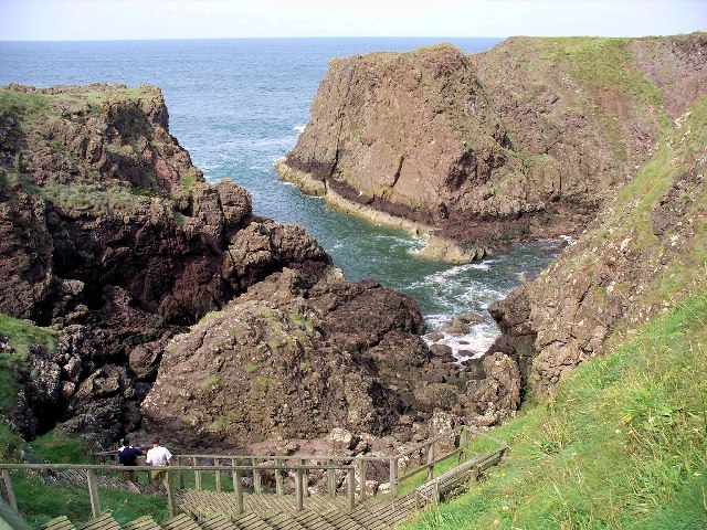
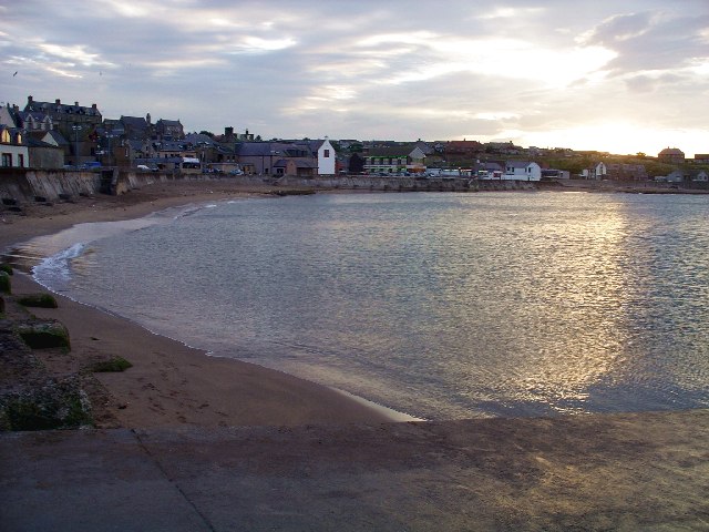
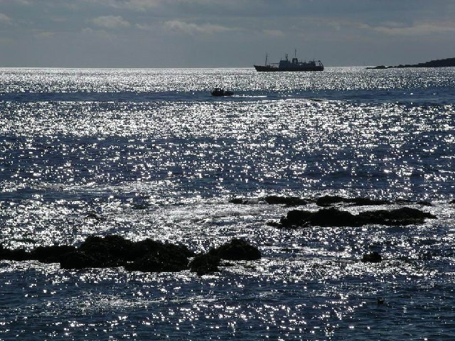
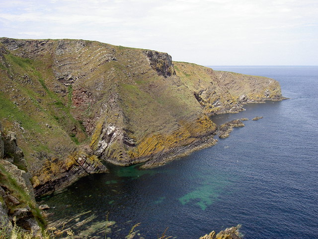
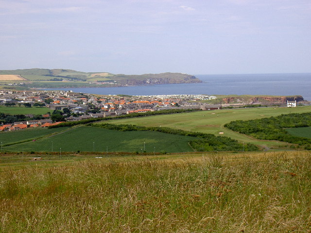
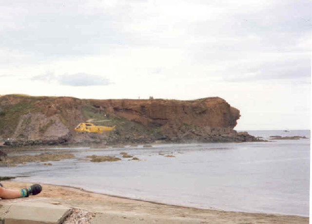
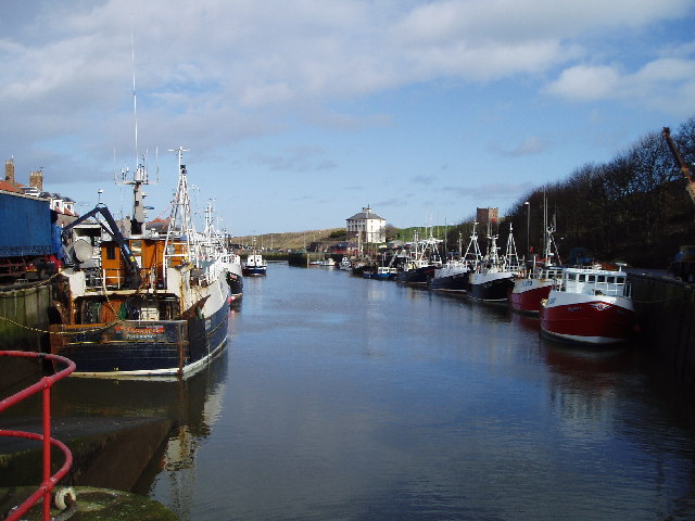
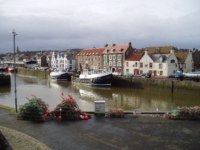
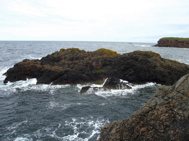
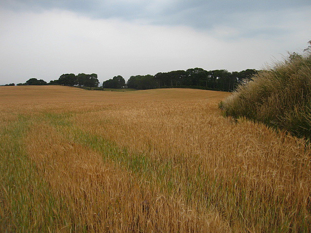
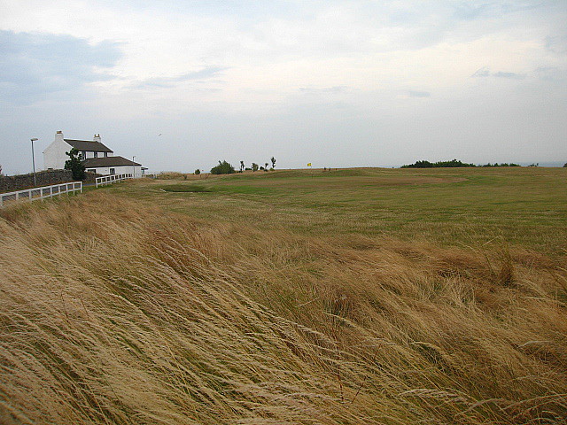
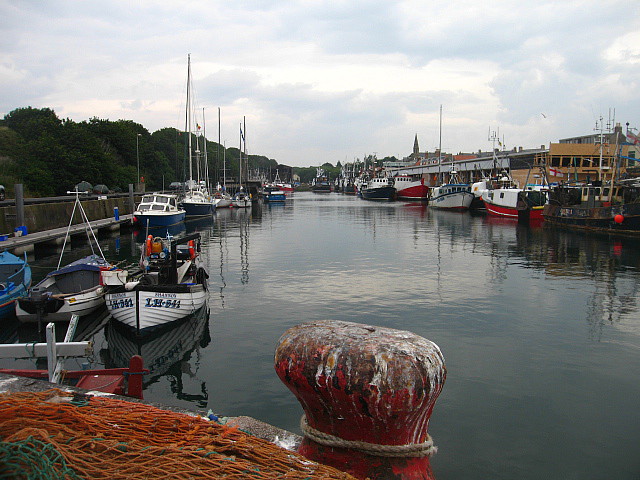
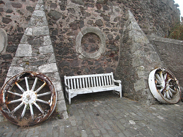
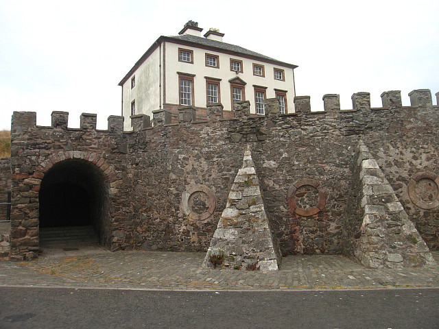
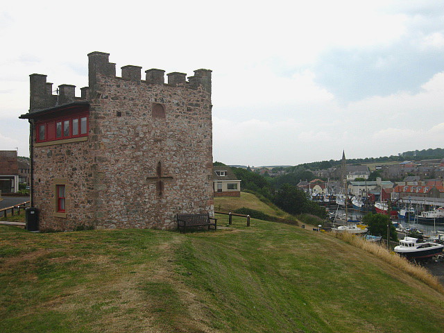
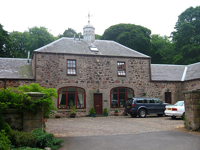
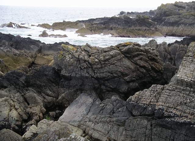
Elgy Loch Images
Images are sourced within 2km of 55.872841/-2.0772111 or Grid Reference NT9564. Thanks to Geograph Open Source API. All images are credited.

Elgy Loch is located at Grid Ref: NT9564 (Lat: 55.872841, Lng: -2.0772111)
Unitary Authority: The Scottish Borders
Police Authority: The Lothians and Scottish Borders
What 3 Words
///glimmers.illogical.clean. Near Eyemouth, Scottish Borders
Nearby Locations
Related Wikis
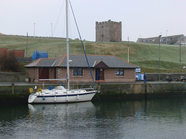
Eyemouth Lifeboat Station
Eyemouth Lifeboat Station is a Royal National Lifeboat Institution (RNLI) marine-rescue facility in Eyemouth, Berwickshire, Scotland. The station was founded...

Eye Water
Eye Water is a river in the Scottish Borders, it flows in a general southeasterly direction from its source in the Lammermuir Hills to its estuary at Eyemouth...

Hurkar Rocks
The Hurkar Rocks are a group of rocks outside the harbour of Eyemouth in the Scottish Borders area of Scotland. The rocks become exposed during low tide...

Eyemouth disaster
The Eyemouth disaster was a severe European windstorm that struck the south-eastern coast of Scotland on 14 October 1881. One hundred and eighty-nine fishermen...
Nearby Amenities
Located within 500m of 55.872841,-2.0772111Have you been to Elgy Loch?
Leave your review of Elgy Loch below (or comments, questions and feedback).