Ramfauds
Island in Berwickshire
Scotland
Ramfauds
Ramfauds is a small island located off the coast of Berwickshire, Scotland. Situated in the North Sea, it is approximately 2 kilometers long and 1 kilometer wide, with a total land area of around 2 square kilometers. The island is part of the Scottish Borders region and is uninhabited, making it a haven for wildlife and a popular destination for nature enthusiasts.
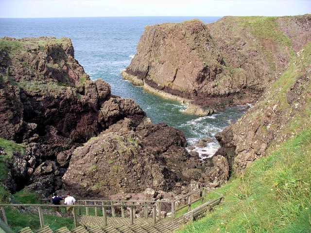
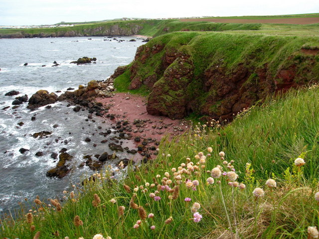
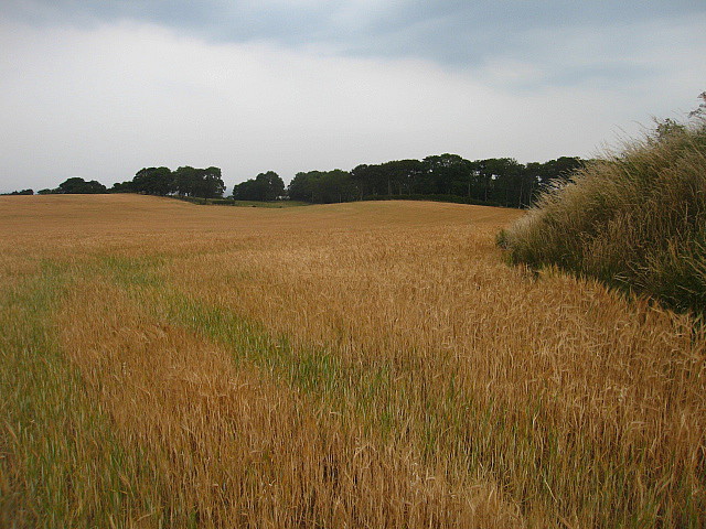
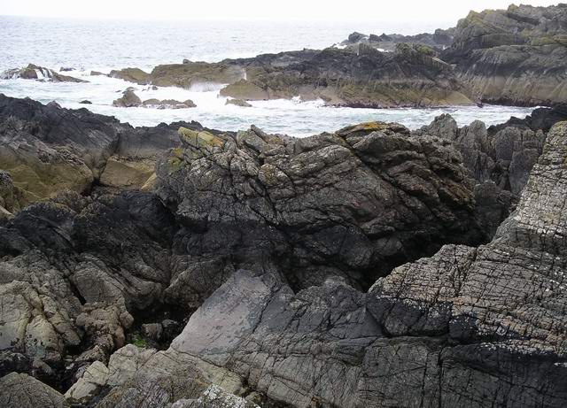
Ramfauds is characterized by its rugged coastal cliffs, which provide nesting sites for various seabird species, including puffins, guillemots, and razorbills. The surrounding waters are known for their rich marine life, attracting divers and fishermen. The island's terrain is mainly comprised of grassy moorland, with some areas covered in heather and gorse.
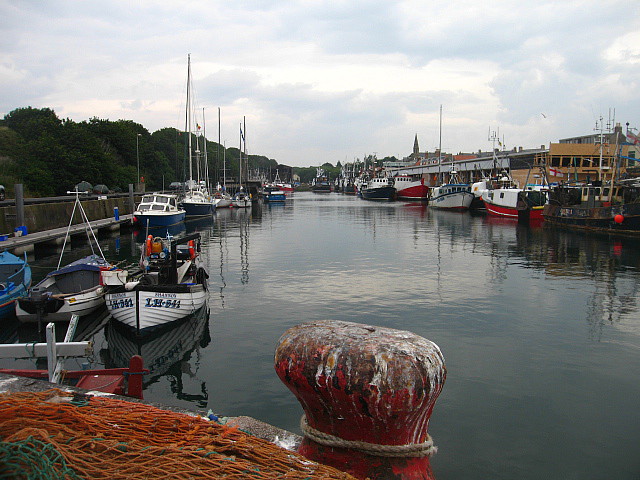
Access to Ramfauds is limited, with no scheduled ferries or public transportation available. However, private boat charters can be arranged from nearby ports, such as Eyemouth or Burnmouth. It is important to note that there are no facilities or amenities on the island, so visitors must come prepared with their own provisions and be mindful of leaving no trace behind.
Ramfauds is also of historical significance, with evidence of ancient settlements and burial sites dating back to the Bronze Age. The island's name is derived from the Norse language, indicating its Viking heritage. Archaeological surveys have revealed remnants of stone foundations and pottery fragments, providing glimpses into the lives of its early inhabitants.
Overall, Ramfauds offers a serene and untouched natural environment, making it an idyllic retreat for those seeking tranquility and a unique wildlife experience.
If you have any feedback on the listing, please let us know in the comments section below.
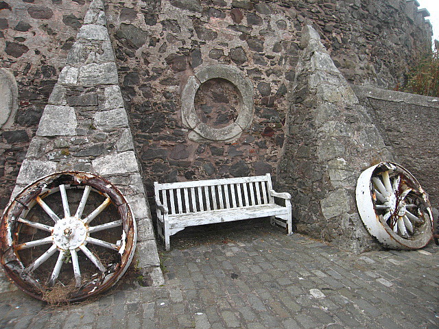
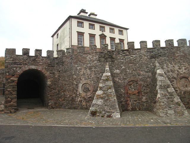
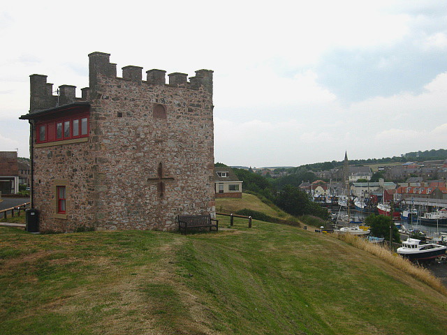
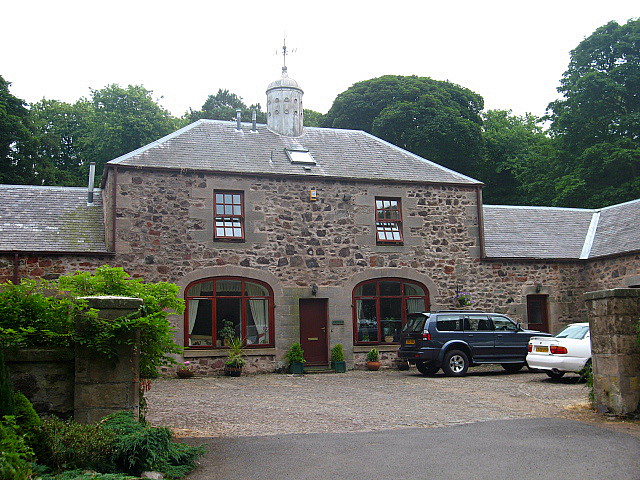
Ramfauds Images
Images are sourced within 2km of 55.874205/-2.079659 or Grid Reference NT9564. Thanks to Geograph Open Source API. All images are credited.

Ramfauds is located at Grid Ref: NT9564 (Lat: 55.874205, Lng: -2.079659)
Unitary Authority: The Scottish Borders
Police Authority: The Lothians and Scottish Borders
What 3 Words
///firelight.gurgling.liked. Near Eyemouth, Scottish Borders
Nearby Locations
Related Wikis
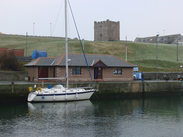
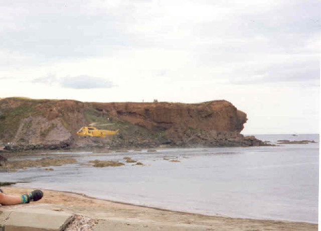
Eyemouth Lifeboat Station
Eyemouth Lifeboat Station is a Royal National Lifeboat Institution (RNLI) marine-rescue facility in Eyemouth, Berwickshire, Scotland. The station was founded...

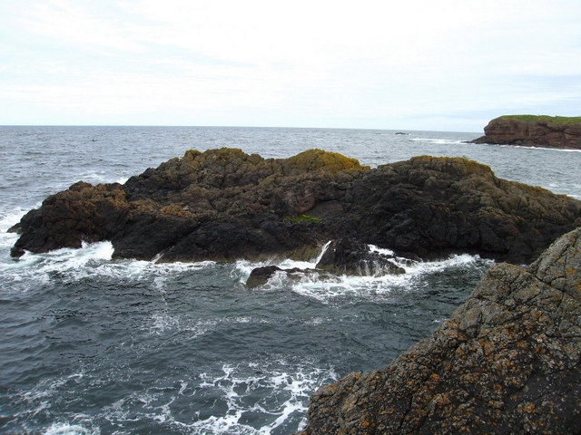
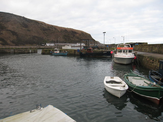
Hurkar Rocks
The Hurkar Rocks are a group of rocks outside the harbour of Eyemouth in the Scottish Borders area of Scotland. The rocks become exposed during low tide...

Eyemouth disaster
The Eyemouth disaster was a severe European windstorm that struck the south-eastern coast of Scotland on 14 October 1881. One hundred and eighty-nine fishermen...

Eye Water
Eye Water is a river in the Scottish Borders, it flows in a general southeasterly direction from its source in the Lammermuir Hills to its estuary at Eyemouth...

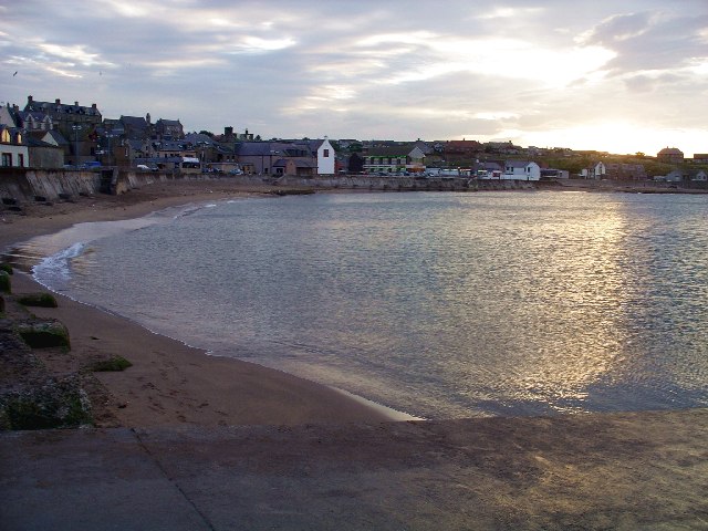
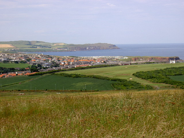
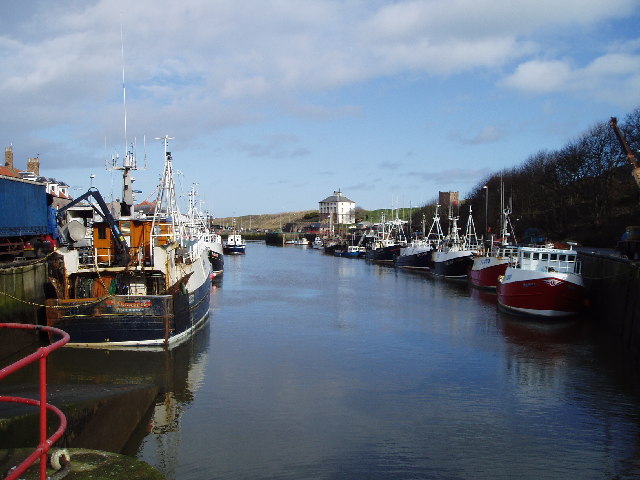
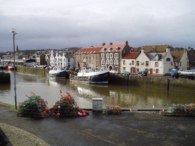
Eyemouth
Eyemouth (Scots: Heymooth) is a small town and civil parish in Berwickshire, in the Scottish Borders area of Scotland. It is two miles (three kilometres...
Eyemouth railway station
Eyemouth railway station served the village of Eyemouth, Scottish Borders, Scotland from 1891 to 1962 on the Eyemouth Railway. == History == The station...

Burnmouth railway station
Burnmouth railway station served the village of Burnmouth, Ayton, Scotland from 1848 to 1962 on the East Coast Main Line. == History == There is some confusion...
Burnmouth
Burnmouth is a small fishing village located adjacent to the A1 road on the east coast of Scotland. It is the first village in Scotland on the A1, after...
Nearby Amenities
Located within 500m of 55.874205,-2.079659Have you been to Ramfauds?
Leave your review of Ramfauds below (or comments, questions and feedback).