Colsea Yawn
Sea, Estuary, Creek in Kincardineshire
Scotland
Colsea Yawn
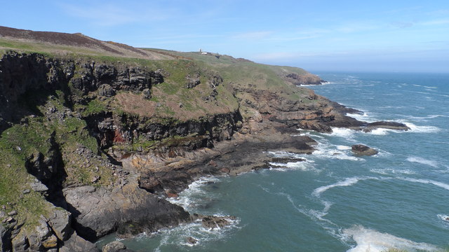
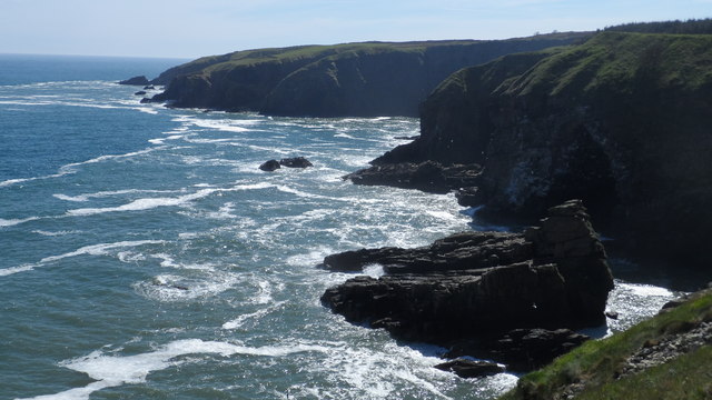
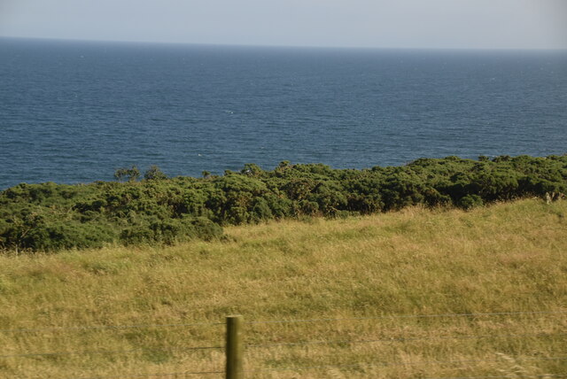
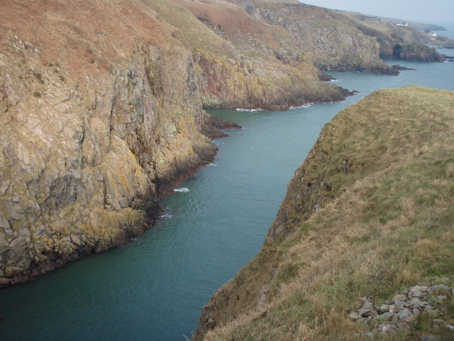
Colsea Yawn, located in Kincardineshire, Scotland, is a picturesque coastal area known for its stunning sea views, estuaries, and serene creeks. Situated on the east coast of Scotland, this charming destination offers a unique blend of natural beauty and tranquility.
The sea at Colsea Yawn is a major attraction, with its crystal-clear waters and rugged coastline. Visitors can enjoy long walks along the sandy beaches, taking in the fresh sea air and listening to the soothing sounds of the waves crashing against the shore. The sea also provides ample opportunities for water-based activities such as swimming, surfing, and sailing.
The estuaries at Colsea Yawn are another highlight of the area. These tidal inlets, where rivers meet the sea, offer a diverse ecosystem and are teeming with marine life. Nature enthusiasts can observe a variety of bird species, including herons and gulls, as well as spot seals and dolphins frolicking in the estuary waters.
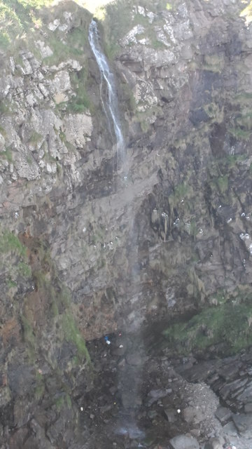
The creeks at Colsea Yawn add to the charm of the area, with their calm and peaceful ambiance. These narrow waterways wind their way through the coastal landscape, creating a tranquil environment perfect for relaxation and exploration. Visitors can take leisurely boat rides or simply enjoy a picnic by the creek, surrounded by the beauty of nature.
Colsea Yawn is a hidden gem in Kincardineshire, offering a peaceful retreat for those seeking a break from the hustle and bustle of daily life. Whether it is the vast sea, the thriving estuaries, or the serene creeks, this coastal destination is sure to captivate visitors with its natural wonders and breathtaking views.
If you have any feedback on the listing, please let us know in the comments section below.
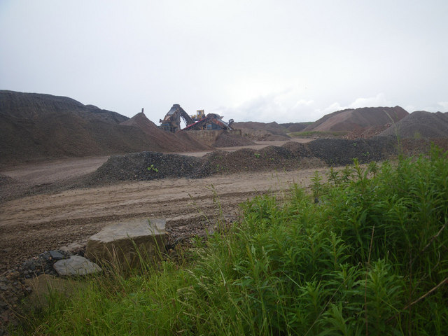
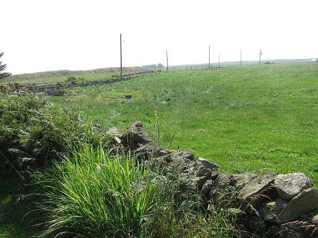
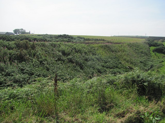
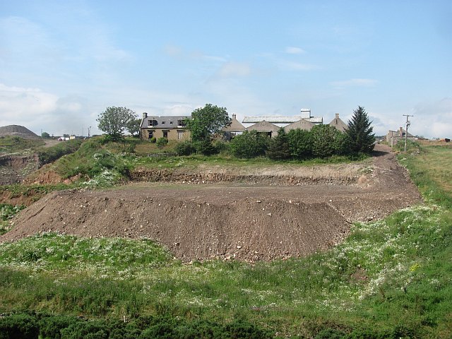
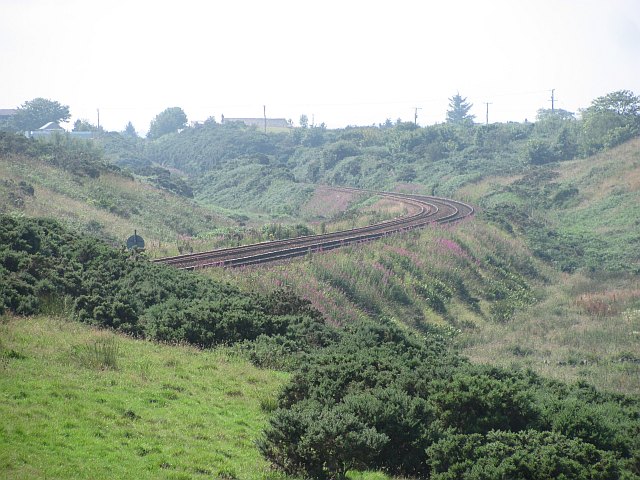
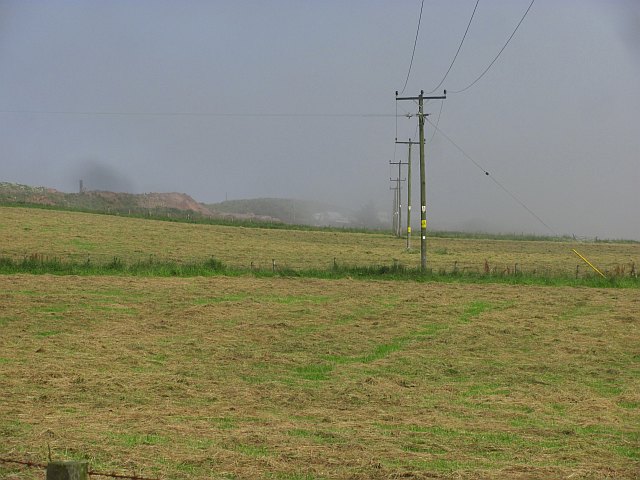
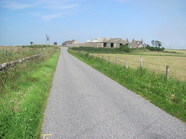
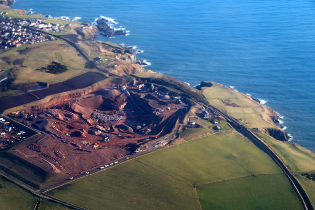
Colsea Yawn Images
Images are sourced within 2km of 57.092027/-2.080577 or Grid Reference NJ9500. Thanks to Geograph Open Source API. All images are credited.


Colsea Yawn is located at Grid Ref: NJ9500 (Lat: 57.092027, Lng: -2.080577)
Unitary Authority: City of Aberdeen
Police Authority: North East
What 3 Words
///throw.motel.shed. Near Cove, Aberdeen
Nearby Locations
Related Wikis
Hare Ness
Hare Ness is a headland landform along the North Sea coastline a few miles south of Aberdeen, Scotland. == History == Hare Ness is situated several kilometres...
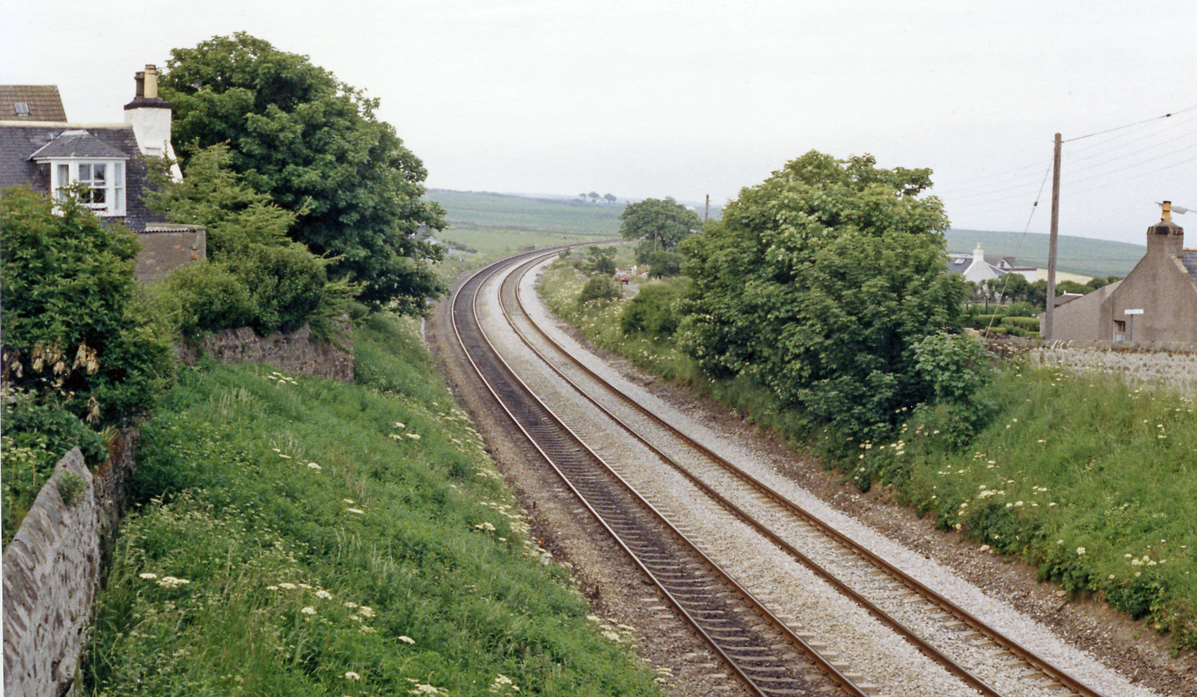
Cove Bay railway station
Cove Bay railway station served the suburb of Cove Bay, Aberdeen, Scotland from 1850 to 1956 on the Aberdeen Railway. == History == The station opened...

St Mary's Church, Cove Bay
St Mary the Virgin (Cove Bay) is an Episcopal Church in Cove Bay, Aberdeen, Scotland. It is part of the Diocese of Aberdeen and Orkney in the Scottish...

Cove Bay
Cove Bay, known locally as Cove, is a suburb on the south-east edge of Aberdeen, Scotland. Today Cove is home to around 8,000 people. It is a popular residential...
Nearby Amenities
Located within 500m of 57.092027,-2.080577Have you been to Colsea Yawn?
Leave your review of Colsea Yawn below (or comments, questions and feedback).