Cove

Bay in Kincardineshire

Scotland

Cove

Strange coastal industrial land use Photographer is standing near a large scale industrial gravel staging area; moreover, this type of land use so near the beautiful rugged coastline is a very strange council decision.
Strange coastal industrial land use Credit: C Michael Hogan

Cove is a small coastal village located in the historic county of Kincardineshire, Scotland. Situated on the eastern coast, Cove is nestled on the shores of the North Sea, offering picturesque views and a tranquil environment. The village is approximately 10 miles south of the city of Aberdeen, making it an ideal location for those seeking a peaceful retreat while still having access to urban amenities.

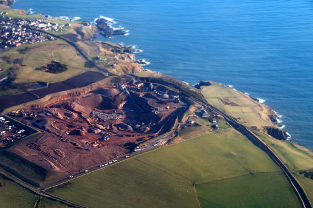
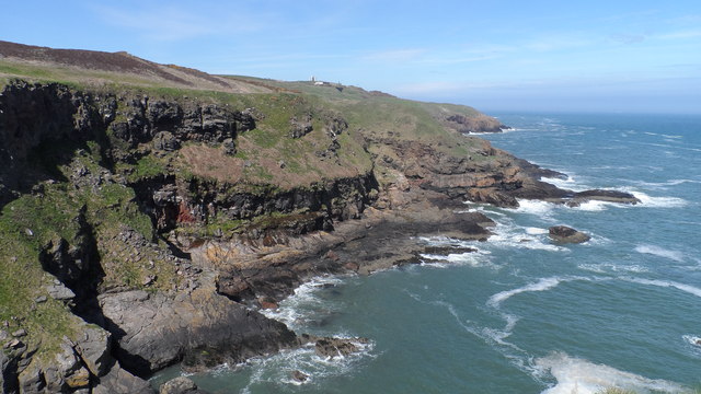
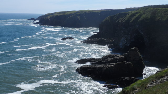
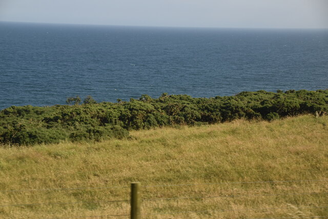
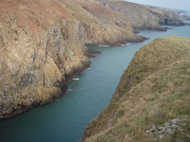
Cove is known for its stunning bay, which boasts a beautiful sandy beach and clear blue waters. The bay is a popular spot for locals and tourists alike, offering opportunities for swimming, sunbathing, and various water sports. The area is also a haven for wildlife, with an abundance of seabirds, seals, and occasionally dolphins gracing the waters.

In addition to its natural beauty, Cove is rich in history and heritage. The village is home to several historical landmarks, including the ruins of a 16th-century castle known as Findon Castle. The castle overlooks the bay and serves as a reminder of Cove's long-standing history.

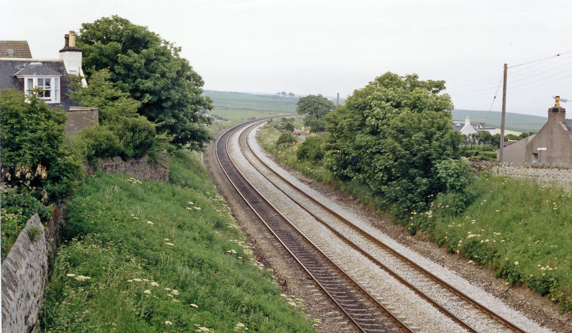
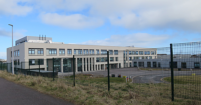
Cove offers a close-knit community feel, with a range of local amenities such as shops, cafes, and restaurants. The village also has a primary school, making it an attractive location for families. For those seeking outdoor activities, there are various walking and cycling routes in the surrounding area, allowing residents and visitors to immerse themselves in the scenic landscapes.

Overall, Cove, Kincardineshire, is a charming coastal village that combines natural beauty, historical significance, and a sense of community, making it an appealing destination for those looking to escape the hustle and bustle of city life.

If you have any feedback on the listing, please let us know in the comments section below.
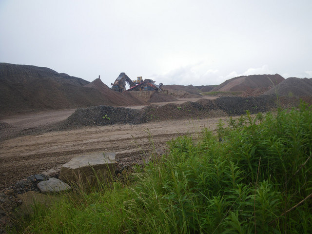
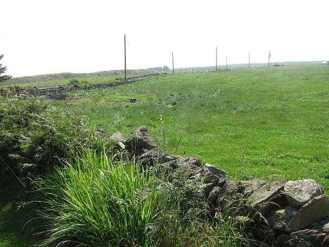
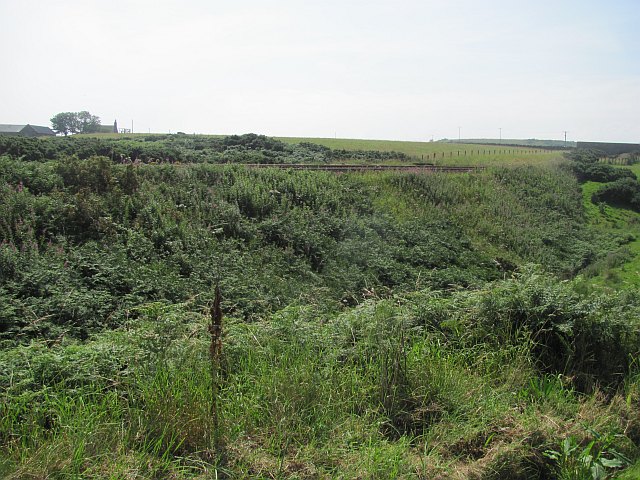
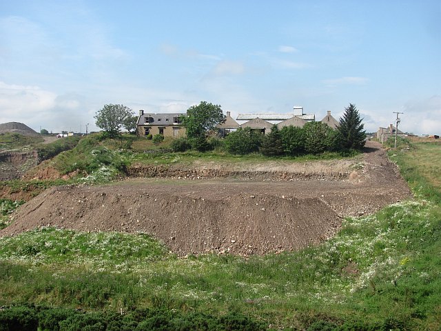
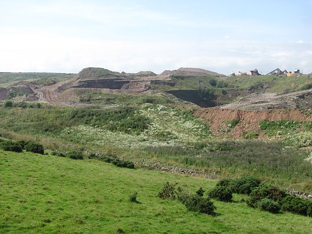
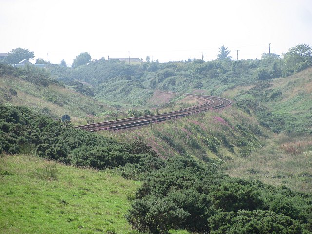
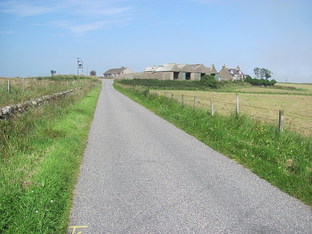
Cove Images

Images are sourced within 2km of 57.091056/-2.0820766 or Grid Reference NJ9500. Thanks to Geograph Open Source API. All images are credited.

Strange coastal industrial land use Photographer is standing near a large scale industrial gravel staging area; moreover, this type of land use so near the beautiful rugged coastline is a very strange council decision.
Strange coastal industrial land use
Photographer is standing near a large scale industrial gravel staging area; moreover, this type of land use so near the beautiful rugged coastline is a very strange council decision.
Field, North Mains of Findon A grass field inside a bend on a minor road. The haar is advancing from the North Sea and was soon to bring on a foggy afternoon.
Field, North Mains of Findon
A grass field inside a bend on a minor road. The haar is advancing from the North Sea and was soon to bring on a foggy afternoon.
Railway, Findon The Aberdeen to Dundee railway gives some exciting views of the coast on this stretch.
Railway, Findon
The Aberdeen to Dundee railway gives some exciting views of the coast on this stretch.
Mains of Cairnrobin Derelict farm with a nearby quarry.
Mains of Cairnrobin
Derelict farm with a nearby quarry.
Gravel pit, Finedon Extensive quarry workings beside the railway.
Gravel pit, Finedon
Extensive quarry workings beside the railway.
Railway south of Aberdeen Approaching Portlethen.
Railway south of Aberdeen
Approaching Portlethen.
The haar returns After a couple of hours of sunshine, the sea mist returns to land.
The haar returns
After a couple of hours of sunshine, the sea mist returns to land.
Blackhills of Cairnrobin Minor road north of Portlethen.
Blackhills of Cairnrobin
Minor road north of Portlethen.
Quarry at Blackhills, south of Aberdeen, from the air Taken from a plane approaching Aberdeen Airport.
Quarry at Blackhills, south of Aberdeen, from the air
Taken from a plane approaching Aberdeen Airport.
View northeast from Blowup Nose Looking towards Hareness
View northeast from Blowup Nose
Looking towards Hareness
From Findon Quarry towards Red Mantle Looking roughly south along the coast
From Findon Quarry towards Red Mantle
Looking roughly south along the coast
Diney Burn Waterfall Waterfall where the Diney Burn meets the cliffs - approx 30m drop
Diney Burn Waterfall
Waterfall where the Diney Burn meets the cliffs - approx 30m drop
View into Clashrodney View into this deep inlet from the south slopes
View into Clashrodney
View into this deep inlet from the south slopes
Fields above cliffs near Hare Ness
Blackhills of Cairnrobin, Cove
Bales in a field
Bales in a field
Coastal pasture, Aberdeenshire
Gorse and pasture
Gorse and pasture
Show me another place!

Cove is located at Grid Ref: NJ9500 (Lat: 57.091056, Lng: -2.0820766)

Unitary Authority: City of Aberdeen

Police Authority: North East

What 3 Words

///boring.drain.rush. Near Cove, Aberdeen

Related Wikis

Nearby Amenities

Located within 500m of 57.091056,-2.0820766
Generator Method: photovoltaic
Generator Output Electricity: yes
Generator Source: solar
Generator Type: solar_photovoltaic_panel
Power: generator
Lat/Long: 57.0930899/-2.0834824
Power: pole
Lat/Long: 57.0927699/-2.0850245
Power: pole
Lat/Long: 57.0933639/-2.0844892
Power: pole
Lat/Long: 57.0938701/-2.083906
Power: pole
Lat/Long: 57.0944009/-2.0832823
Power: pole
Lat/Long: 57.0949331/-2.0826561
Power: pole
Lat/Long: 57.0921567/-2.0857568
Power: pole
Lat/Long: 57.0915092/-2.0856633
Power: pole
Lat/Long: 57.0908027/-2.0855649
Power: pole
Lat/Long: 57.0901305/-2.085479
Power: pole
Lat/Long: 57.0895653/-2.0856103
Power: pole
Lat/Long: 57.0891771/-2.0857845
Power: pole
Lat/Long: 57.0884856/-2.0861052
The data included in this document is from www.openstreetmap.org. The data is made available under ODbL.

Have you been to Cove?

Leave your review of Cove below (or comments, questions and feedback).