Cove Shore
Coastal Feature, Headland, Point in Kincardineshire
Scotland
Cove Shore
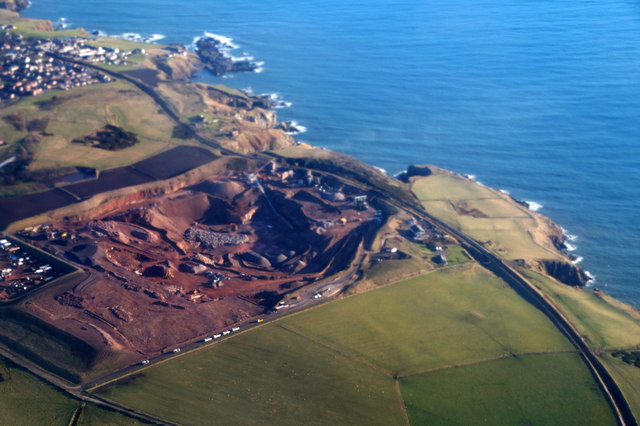
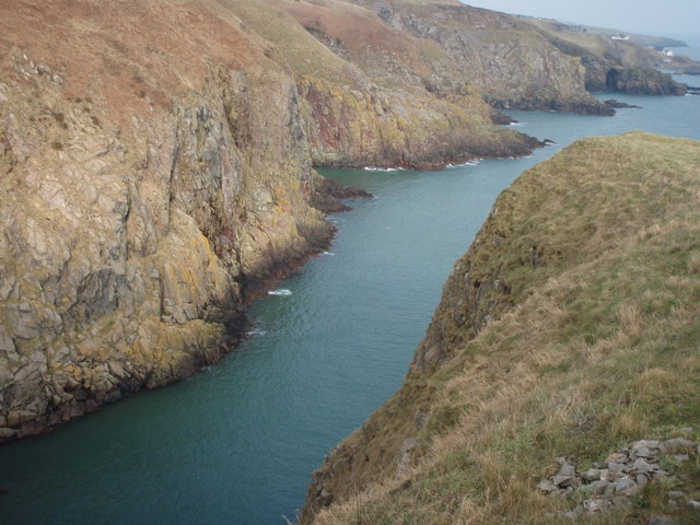
Cove Shore is a captivating coastal feature located in Kincardineshire, Scotland. It is an exquisite headland that extends into the North Sea, forming a picturesque point that offers breathtaking views and a serene atmosphere.
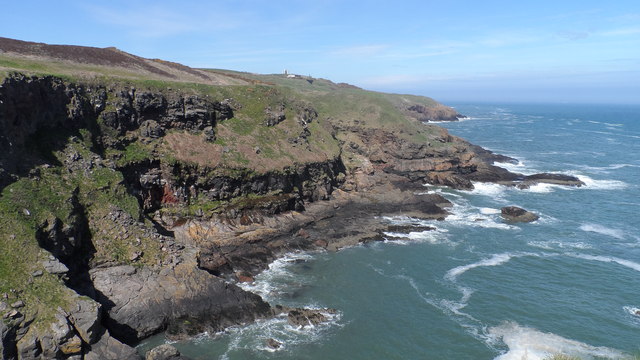
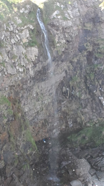
This headland is characterized by dramatic cliffs that rise majestically from the water, creating a striking contrast against the deep blue sea. The rugged coastline is adorned with an abundance of natural rock formations, adding to its scenic beauty. Visitors to Cove Shore can witness stunning rock arches, sea stacks, and caves, which provide a haven for various marine wildlife species.
The area surrounding Cove Shore is rich in biodiversity, making it an ideal spot for nature enthusiasts and wildlife lovers. Seabirds such as kittiwakes, fulmars, and guillemots can be observed nesting on the cliffs, while seals and dolphins are often spotted frolicking in the nearby waters. The diverse marine ecosystem also supports a variety of fish species, attracting anglers and fishing enthusiasts.
For those seeking outdoor activities, Cove Shore offers a range of opportunities. The headland provides excellent hiking trails along the cliffs, allowing visitors to explore the stunning coastal landscape. Additionally, the crystal-clear waters and rocky shoreline make it a popular destination for snorkeling, scuba diving, and rock climbing.
Cove Shore is not only a natural wonder but also holds historical significance. The area is dotted with ancient ruins and archaeological sites, serving as a reminder of its rich cultural heritage. Exploring the remnants of old settlements and castles adds an extra layer of intrigue to this already captivating coastal feature.
In conclusion, Cove Shore in Kincardineshire is a remarkable headland and point that showcases the stunning beauty of Scotland's coastline. Its dramatic cliffs, diverse wildlife, and historical significance make it a must-visit destination for nature lovers and history enthusiasts alike.
If you have any feedback on the listing, please let us know in the comments section below.
Cove Shore Images
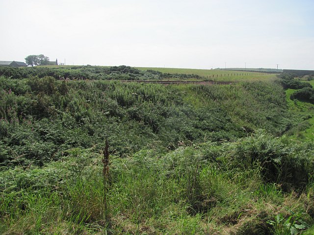
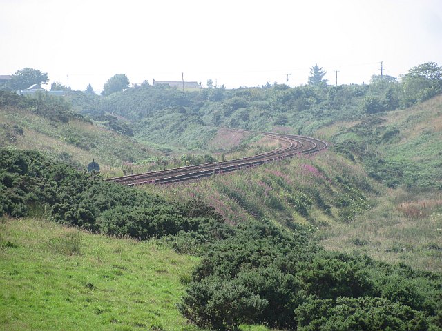
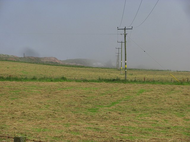
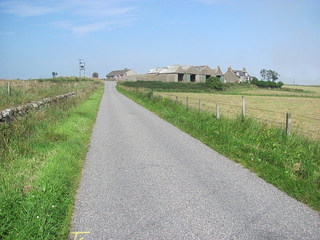
Images are sourced within 2km of 57.095766/-2.0778786 or Grid Reference NJ9500. Thanks to Geograph Open Source API. All images are credited.


Cove Shore is located at Grid Ref: NJ9500 (Lat: 57.095766, Lng: -2.0778786)
Unitary Authority: City of Aberdeen
Police Authority: North East
What 3 Words
///paint.gladiators.ended. Near Cove, Aberdeen
Nearby Locations
Related Wikis
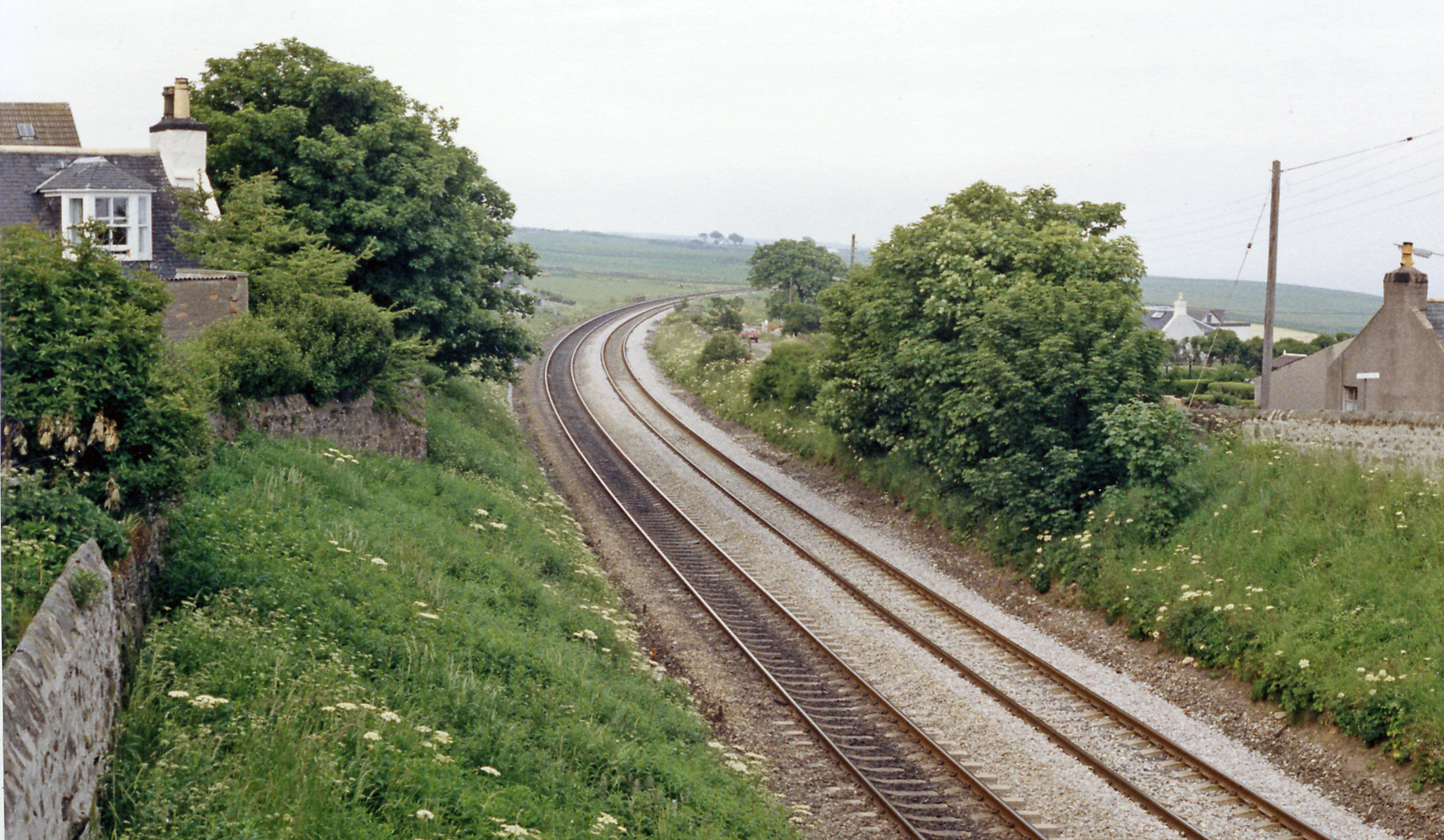
Cove Bay railway station
Cove Bay railway station served the suburb of Cove Bay, Aberdeen, Scotland from 1850 to 1956 on the Aberdeen Railway. == History == The station opened...

St Mary's Church, Cove Bay
St Mary the Virgin (Cove Bay) is an Episcopal Church in Cove Bay, Aberdeen, Scotland. It is part of the Diocese of Aberdeen and Orkney in the Scottish...
Hare Ness
Hare Ness is a headland landform along the North Sea coastline a few miles south of Aberdeen, Scotland. == History == Hare Ness is situated several kilometres...

Cove Bay
Cove Bay, known locally as Cove, is a suburb on the south-east edge of Aberdeen, Scotland. Today Cove is home to around 8,000 people. It is a popular residential...
Nearby Amenities
Located within 500m of 57.095766,-2.0778786Have you been to Cove Shore?
Leave your review of Cove Shore below (or comments, questions and feedback).