Doo Cove
Sea, Estuary, Creek in Kincardineshire
Scotland
Doo Cove
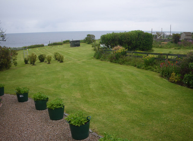
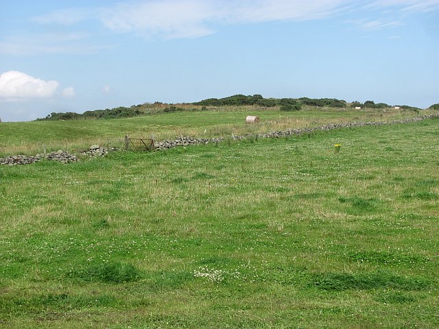
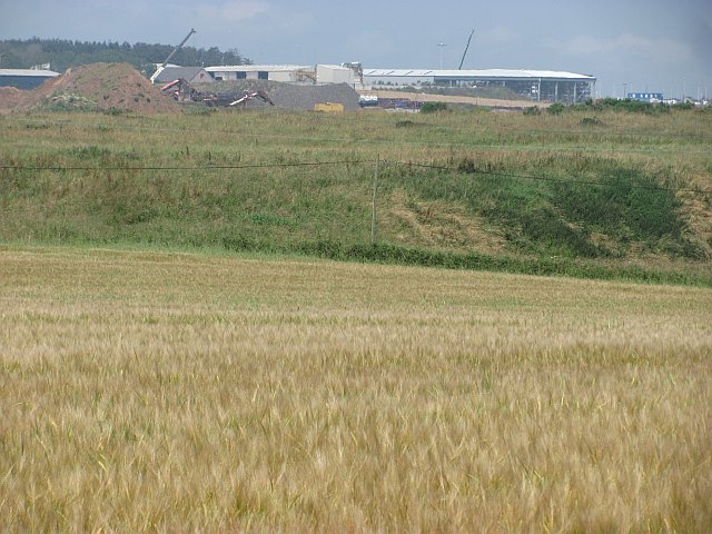
Doo Cove is a picturesque coastal area located in Kincardineshire, Scotland. Situated along the North Sea, this small cove offers a tranquil and scenic setting, drawing visitors with its natural beauty and serene atmosphere.
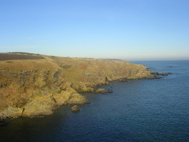
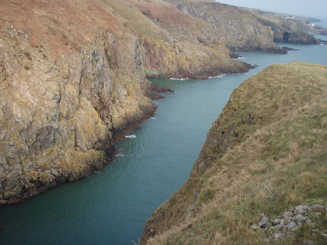
The cove is nestled between towering cliffs, which provide a stunning backdrop to the sparkling blue waters below. The sea at Doo Cove is characterized by its calmness, making it perfect for swimming, snorkeling, or simply enjoying a leisurely stroll along the sandy beach.
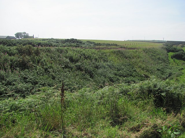
Doo Cove is also known for its estuary, where a small creek flows into the sea. This estuary is home to a diverse range of marine life, including fish, crabs, and seabirds. It provides an important habitat for these creatures, making it a popular spot for birdwatching and wildlife enthusiasts.
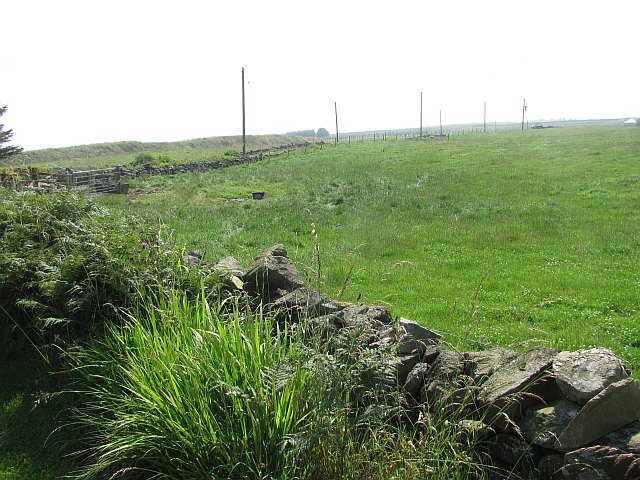
The surrounding area is rich in natural flora and fauna, with beautiful coastal plants and grasses adorning the cliffs. The cliffs themselves are a haven for seabirds, offering nesting sites for species such as kittiwakes and cormorants.
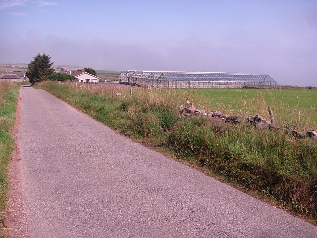
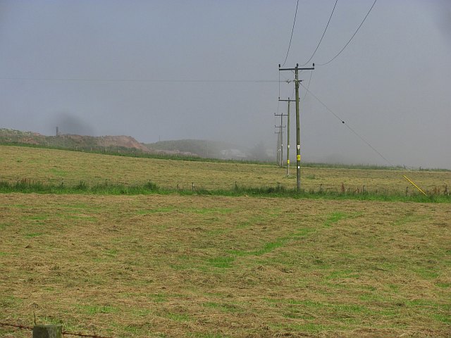
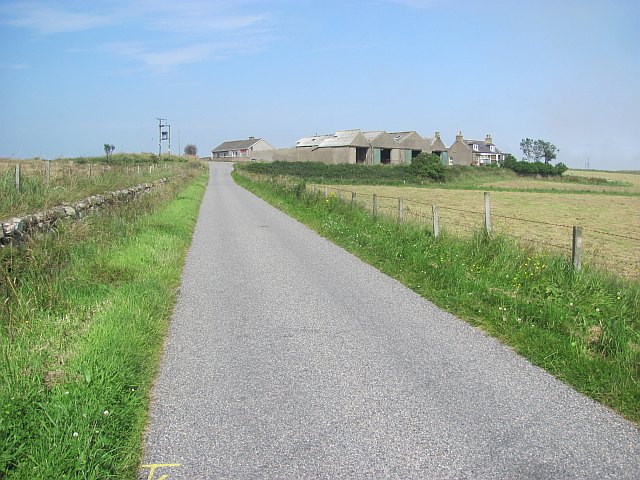
Access to Doo Cove is relatively easy, with a small car park located nearby for visitors. From there, a short walk leads down to the beach, allowing visitors to fully immerse themselves in the tranquil surroundings.
Overall, Doo Cove is a hidden gem along the Kincardineshire coastline, offering a peaceful retreat for nature lovers and those seeking respite from the hustle and bustle of everyday life.
If you have any feedback on the listing, please let us know in the comments section below.
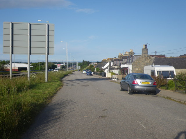
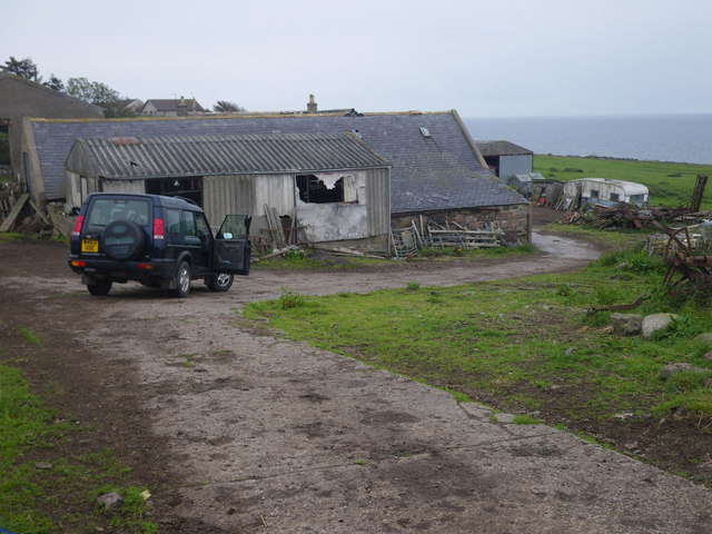
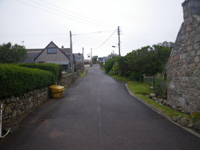
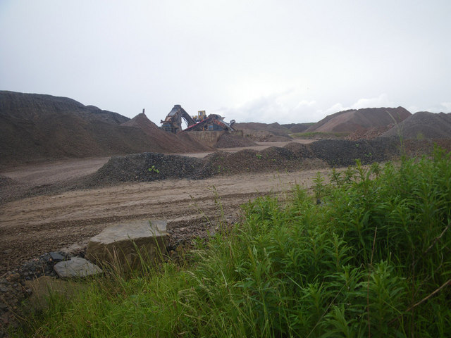
Doo Cove Images
Images are sourced within 2km of 57.065901/-2.0982637 or Grid Reference NO9497. Thanks to Geograph Open Source API. All images are credited.
Doo Cove is located at Grid Ref: NO9497 (Lat: 57.065901, Lng: -2.0982637)
Unitary Authority: Aberdeenshire
Police Authority: North East
What 3 Words
///bulletins.lifeboats.calm. Near Portlethen, Aberdeenshire
Nearby Locations
Related Wikis

Findon, Aberdeenshire
Findon (Gaelic: Fionndan, Scots: Finnan) is a fishing village eight miles south of Aberdeen, famous for originating the smoked haddock known as Finnan...

Portlethen Village
Portlethen Village is a settlement located to the east of Portlethen along the North Sea coast in Aberdeenshire, Scotland. The village is also known as...

Craigmaroinn
Craigmaroinn is a skerry in the North Sea near the Aberdeenshire coastline in Scotland. Craigmaroinn is situated midway between the coastal villages of...

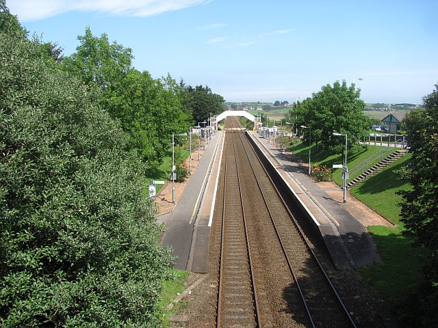
Portlethen railway station
Portlethen railway station serves the town of Portlethen in Aberdeenshire, Scotland. It is sited 232 miles 59 chains (374.6 km) from Carlisle via Perth...

Portlethen
Portlethen (; Scottish Gaelic: Port Leathain) is a town located approximately 7 miles south of Aberdeen, Scotland along the A92. The population according...
Portlethen Academy
Portlethen Academy is a six-year comprehensive secondary school in Portlethen, Aberdeenshire, Scotland. == History == With the expansion of the communities...
Cammachmore Bay
Cammachmore Bay is an embayment of the North Sea between Stonehaven and Aberdeen in Aberdeenshire, Scotland. The fishing village of Downies is situated...
Hare Ness
Hare Ness is a headland landform along the North Sea coastline a few miles south of Aberdeen, Scotland. == History == Hare Ness is situated several kilometres...
Nearby Amenities
Located within 500m of 57.065901,-2.0982637Have you been to Doo Cove?
Leave your review of Doo Cove below (or comments, questions and feedback).