Findon Ness
Coastal Feature, Headland, Point in Kincardineshire
Scotland
Findon Ness
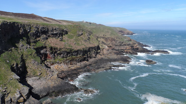
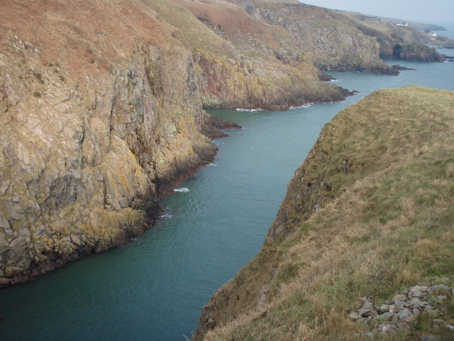
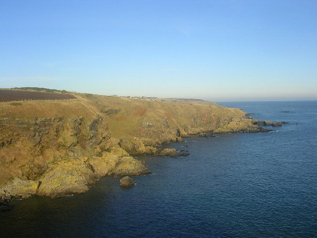
Findon Ness is a prominent coastal feature located in Kincardineshire, Scotland. It is a headland that juts out into the North Sea, forming a distinct point along the coastline. With its rugged cliffs and stunning panoramic views, Findon Ness is a popular destination for both locals and tourists alike.
The headland is characterized by its rocky terrain, which is composed of red sandstone and conglomerate rock formations. These geological features have been shaped over centuries by the relentless pounding of the waves, creating dramatic cliffs that reach heights of up to 30 meters. The exposed nature of the headland also makes it susceptible to erosion, resulting in the gradual retreat of the coastline.
Findon Ness offers breathtaking vistas of the North Sea, providing visitors with a unique perspective of the surrounding area. On a clear day, one can see as far as the city of Aberdeen to the north and the picturesque Dunnottar Castle to the south. The headland is also home to a diverse range of wildlife, including seabirds such as gulls, fulmars, and kittiwakes, as well as occasional sightings of seals and dolphins.
For outdoor enthusiasts, Findon Ness offers a variety of activities such as hiking and birdwatching. There are several walking trails that wind their way along the headland, showcasing the natural beauty of the area. Additionally, the headland is equipped with picnic areas and benches, allowing visitors to relax and soak in the tranquil atmosphere.
Overall, Findon Ness is a stunning coastal feature that combines natural beauty, geological significance, and recreational opportunities, making it a must-visit destination for those exploring the Kincardineshire coastline.
If you have any feedback on the listing, please let us know in the comments section below.
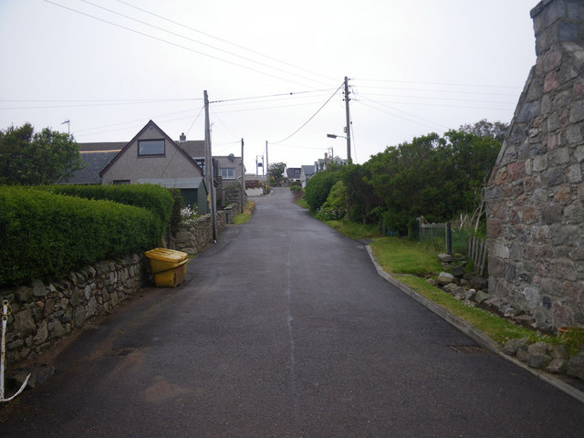
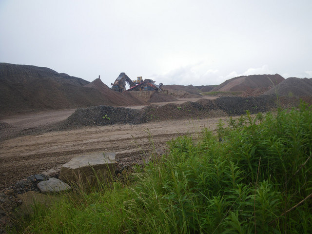
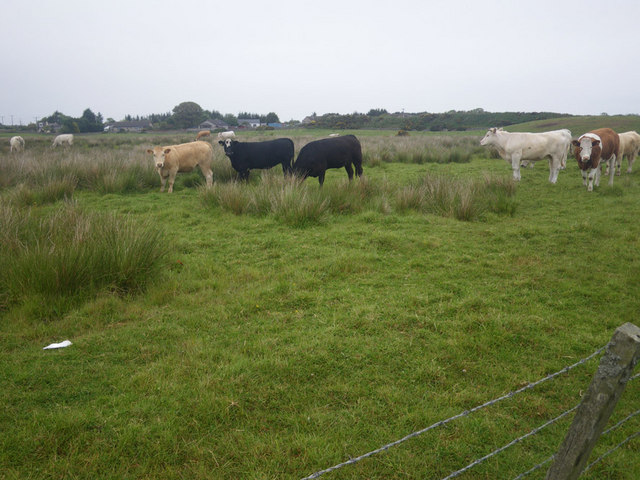
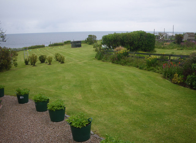
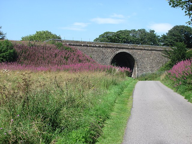
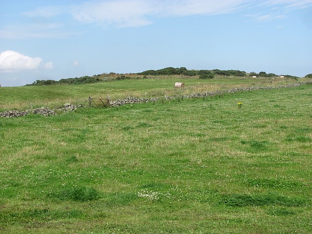
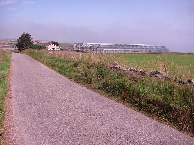
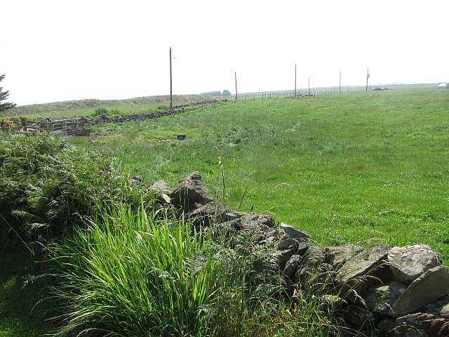
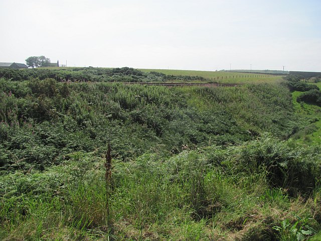
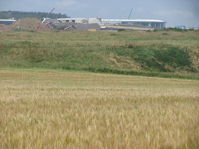
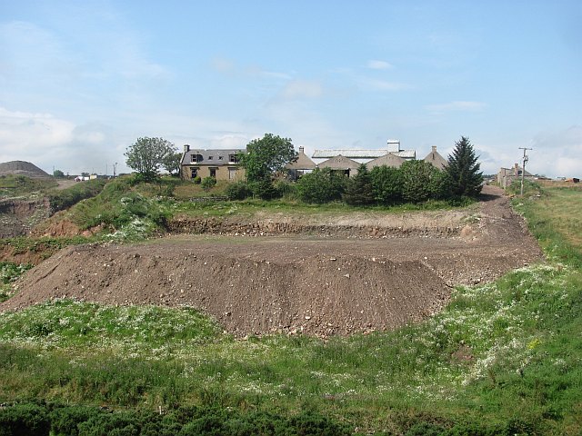
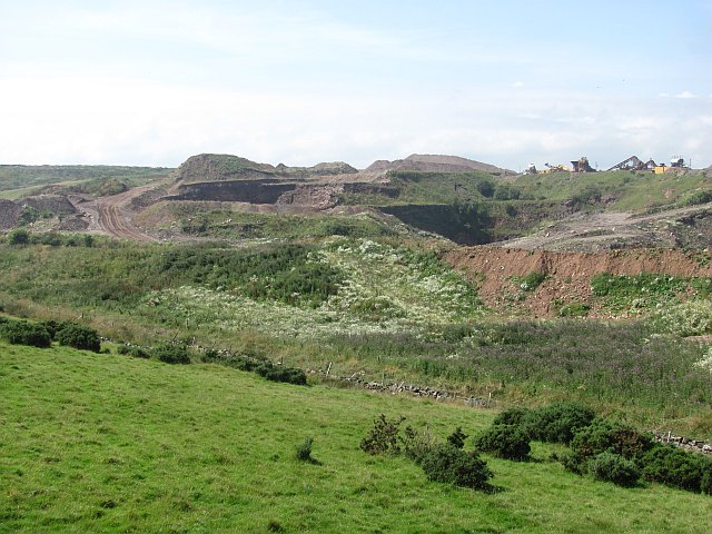
Findon Ness Images
Images are sourced within 2km of 57.067935/-2.0925796 or Grid Reference NO9497. Thanks to Geograph Open Source API. All images are credited.


Findon Ness is located at Grid Ref: NO9497 (Lat: 57.067935, Lng: -2.0925796)
Unitary Authority: Aberdeenshire
Police Authority: North East
What 3 Words
///fancied.shielding.diggers. Near Portlethen, Aberdeenshire
Nearby Locations
Related Wikis

Findon, Aberdeenshire
Findon (Gaelic: Fionndan, Scots: Finnan) is a fishing village eight miles south of Aberdeen, famous for originating the smoked haddock known as Finnan...

Portlethen Village
Portlethen Village is a settlement located to the east of Portlethen along the North Sea coast in Aberdeenshire, Scotland. The village is also known as...

Craigmaroinn
Craigmaroinn is a skerry in the North Sea near the Aberdeenshire coastline in Scotland. Craigmaroinn is situated midway between the coastal villages of...

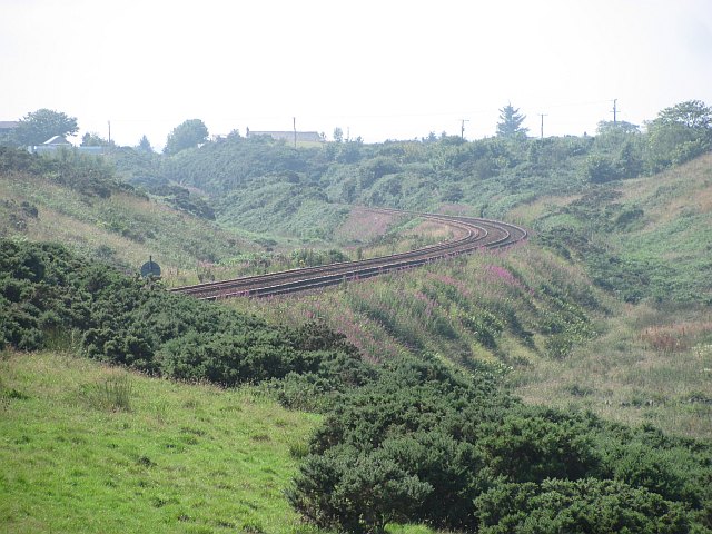
Portlethen railway station
Portlethen railway station serves the town of Portlethen in Aberdeenshire, Scotland. It is sited 232 miles 59 chains (374.6 km) from Carlisle via Perth...

Portlethen
Portlethen (; Scottish Gaelic: Port Leathain) is a town located approximately 7 miles south of Aberdeen, Scotland along the A92. The population according...
Hare Ness
Hare Ness is a headland landform along the North Sea coastline a few miles south of Aberdeen, Scotland. == History == Hare Ness is situated several kilometres...
Portlethen Academy
Portlethen Academy is a six-year comprehensive secondary school in Portlethen, Aberdeenshire, Scotland. == History == With the expansion of the communities...
Cammachmore Bay
Cammachmore Bay is an embayment of the North Sea between Stonehaven and Aberdeen in Aberdeenshire, Scotland. The fishing village of Downies is situated...
Nearby Amenities
Located within 500m of 57.067935,-2.0925796Have you been to Findon Ness?
Leave your review of Findon Ness below (or comments, questions and feedback).