Earnsheugh Tongue

Coastal Feature, Headland, Point in Kincardineshire

Scotland

Earnsheugh Tongue

Strange coastal industrial land use Photographer is standing near a large scale industrial gravel staging area; moreover, this type of land use so near the beautiful rugged coastline is a very strange council decision.
Strange coastal industrial land use Credit: C Michael Hogan

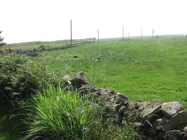
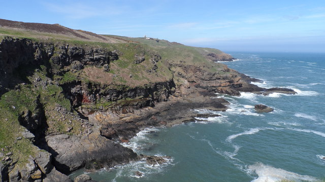
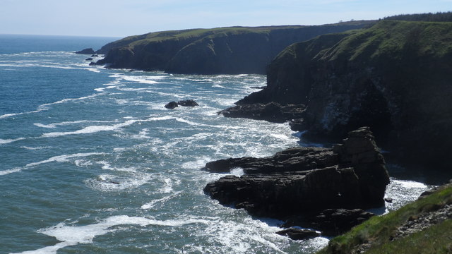
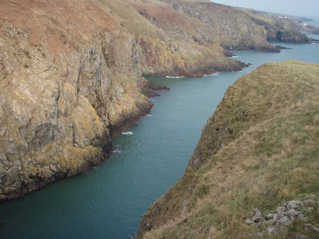
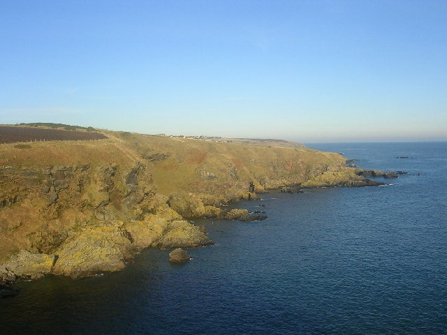
Earnsheugh Tongue is a prominent coastal feature located in Kincardineshire, Scotland. It is a headland that juts out into the North Sea, forming a distinct point along the coastline. The tongue is situated approximately 7 miles south of the town of Stonehaven and is known for its stunning natural beauty and geological significance.

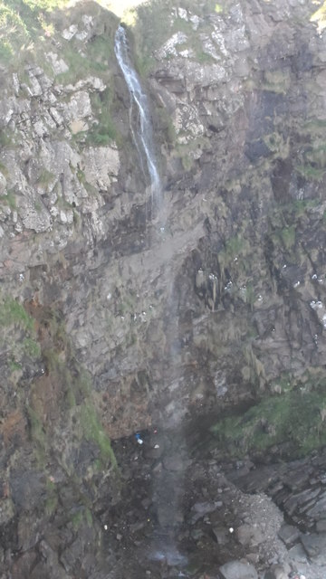
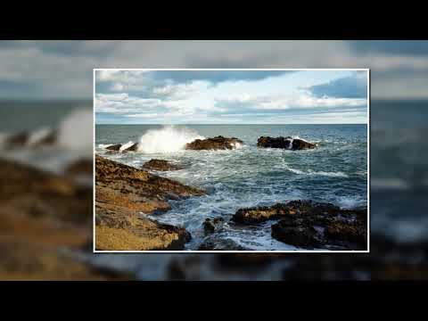
The geological formation of Earnsheugh Tongue is characterized by towering cliffs that rise dramatically from the sea. These cliffs are composed of layers of sedimentary rock, including sandstone and shale, which have been shaped by the erosive forces of wind and waves over millions of years. Fossils and other ancient marine life can often be found embedded within the rock layers, providing important insights into the area's geological history.

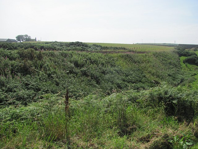
From the top of Earnsheugh Tongue, visitors can enjoy panoramic views of the surrounding coastline and the North Sea. On clear days, it is possible to see as far as Dunnottar Castle to the north and the coast of Angus to the south. The headland is also a popular spot for birdwatching, with various seabirds, such as gannets and kittiwakes, nesting along the cliffs.

Access to Earnsheugh Tongue is via a footpath that runs along the cliff edge, offering visitors the opportunity to explore the area's natural wonders up close. However, it is important to exercise caution when walking near the cliff edge, as the terrain can be uneven and unstable in places.

Overall, Earnsheugh Tongue is a captivating coastal feature that showcases the rugged beauty of the Scottish coastline and provides a unique glimpse into the region's geological past.

If you have any feedback on the listing, please let us know in the comments section below.

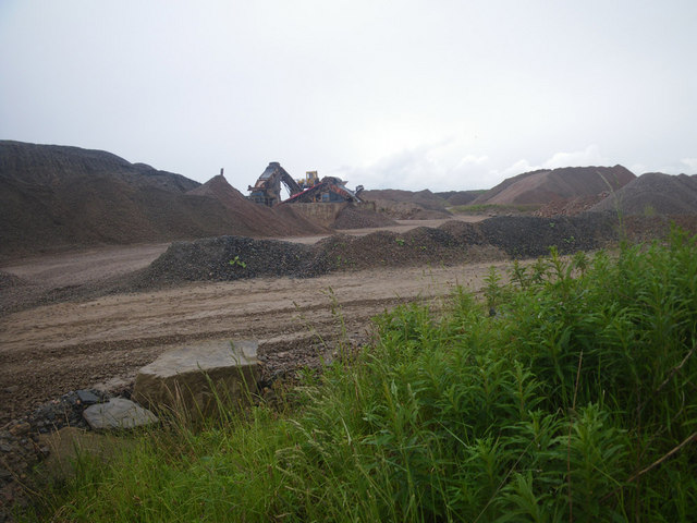
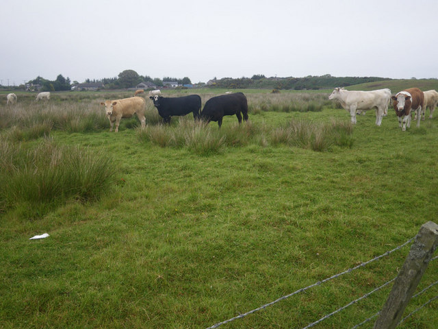
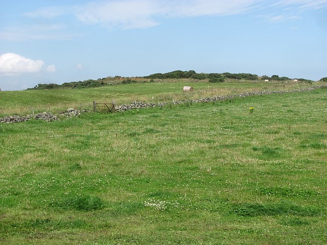
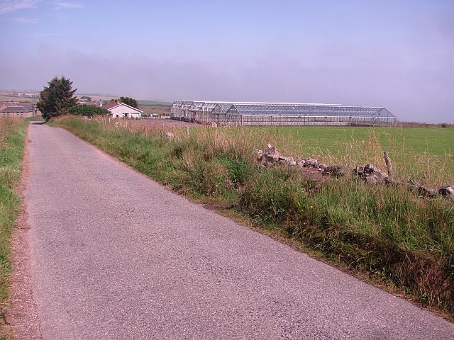
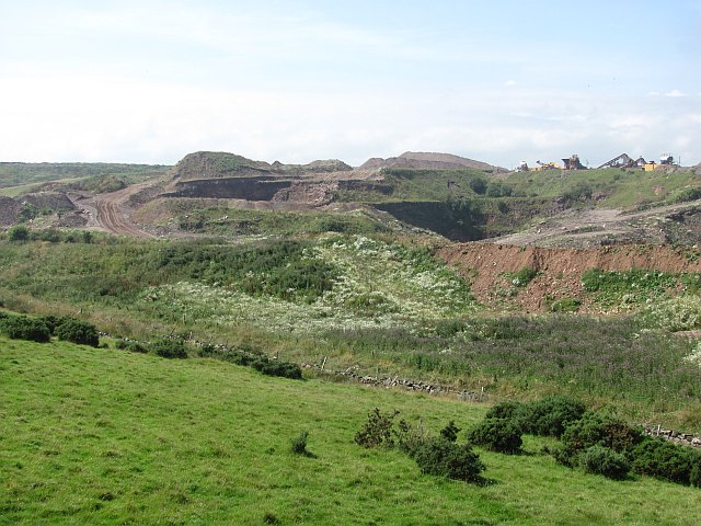
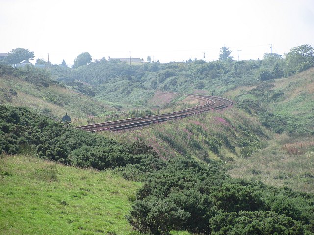
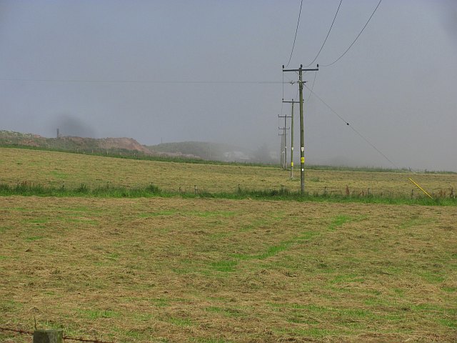
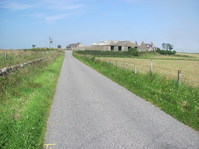
Earnsheugh Tongue Images

Images are sourced within 2km of 57.072004/-2.0927547 or Grid Reference NO9497. Thanks to Geograph Open Source API. All images are credited.

Strange coastal industrial land use Photographer is standing near a large scale industrial gravel staging area; moreover, this type of land use so near the beautiful rugged coastline is a very strange council decision.
Strange coastal industrial land use
Photographer is standing near a large scale industrial gravel staging area; moreover, this type of land use so near the beautiful rugged coastline is a very strange council decision.
Cows grazing not far from the coastline This pasture is very moist and exhibits a high occurrence of Juncus species.
Cows grazing not far from the coastline
This pasture is very moist and exhibits a high occurrence of Juncus species.
Reemit Hill Grass fields outside Findon.  The dyke conceals a minor road.
Reemit Hill
Grass fields outside Findon. The dyke conceals a minor road.
Middleton The glass houses do not appear on maps or aerial photographs, and are probably new. The coast is not far away and the haar can be seen in the background. It was soon to return to the land.
Middleton
The glass houses do not appear on maps or aerial photographs, and are probably new. The coast is not far away and the haar can be seen in the background. It was soon to return to the land.
Field, North Mains of Findon A grass field inside a bend on a minor road. The haar is advancing from the North Sea and was soon to bring on a foggy afternoon.
Field, North Mains of Findon
A grass field inside a bend on a minor road. The haar is advancing from the North Sea and was soon to bring on a foggy afternoon.
Railway, Findon The Aberdeen to Dundee railway gives some exciting views of the coast on this stretch.
Railway, Findon
The Aberdeen to Dundee railway gives some exciting views of the coast on this stretch.
Barley, Hill of Findon Industrial activity on the other side of the railway.
Barley, Hill of Findon
Industrial activity on the other side of the railway.
Mains of Cairnrobin Derelict farm with a nearby quarry.
Mains of Cairnrobin
Derelict farm with a nearby quarry.
Gravel pit, Finedon Extensive quarry workings beside the railway.
Gravel pit, Finedon
Extensive quarry workings beside the railway.
Railway south of Aberdeen Approaching Portlethen.
Railway south of Aberdeen
Approaching Portlethen.
The haar returns After a couple of hours of sunshine, the sea mist returns to land.
The haar returns
After a couple of hours of sunshine, the sea mist returns to land.
Blackhills of Cairnrobin Minor road north of Portlethen.
Blackhills of Cairnrobin
Minor road north of Portlethen.
Portlethen harbour
Portlethen harbour
Fishing boats, Portlethen harbour
View northeast from Blowup Nose Looking towards Hareness
View northeast from Blowup Nose
Looking towards Hareness
From Findon Quarry towards Red Mantle Looking roughly south along the coast
From Findon Quarry towards Red Mantle
Looking roughly south along the coast
Diney Burn Waterfall Waterfall where the Diney Burn meets the cliffs - approx 30m drop
Diney Burn Waterfall
Waterfall where the Diney Burn meets the cliffs - approx 30m drop
View into Clashrodney View into this deep inlet from the south slopes
View into Clashrodney
View into this deep inlet from the south slopes
Show me another place!

Earnsheugh Tongue is located at Grid Ref: NO9497 (Lat: 57.072004, Lng: -2.0927547)

Unitary Authority: Aberdeenshire

Police Authority: North East

What 3 Words

///quietest.monday.harshest. Near Portlethen, Aberdeenshire

Related Wikis

Findon, Aberdeenshire

Findon (Gaelic: Fionndan, Scots: Finnan) is a fishing village eight miles south of Aberdeen, famous for originating the smoked haddock known as Finnan...

Hare Ness

Hare Ness is a headland landform along the North Sea coastline a few miles south of Aberdeen, Scotland. == History == Hare Ness is situated several kilometres...

Portlethen Village

Portlethen Village is a settlement located to the east of Portlethen along the North Sea coast in Aberdeenshire, Scotland. The village is also known as...

Craigmaroinn

Craigmaroinn is a skerry in the North Sea near the Aberdeenshire coastline in Scotland. Craigmaroinn is situated midway between the coastal villages of...

Portlethen railway station

Portlethen railway station serves the town of Portlethen in Aberdeenshire, Scotland. It is sited 232 miles 59 chains (374.6 km) from Carlisle via Perth...

Portlethen

Portlethen (; Scottish Gaelic: Port Leathain) is a town located approximately 7 miles south of Aberdeen, Scotland along the A92. The population according...

Portlethen Academy

Portlethen Academy is a six-year comprehensive secondary school in Portlethen, Aberdeenshire, Scotland. == History == With the expansion of the communities...

Cammachmore Bay

Cammachmore Bay is an embayment of the North Sea between Stonehaven and Aberdeen in Aberdeenshire, Scotland. The fishing village of Downies is situated...

Related Videos

Ian Poole's Transport Travel Vlogs #83 - Portlethen

vlog #blog #Portlethen So it is time to go home but before we go home, we are going to get another batch of buses done and ...

Portlethen Village - Great Photography Locations

Part of my Great Photography Locations series, Portlethen is a beautiful little seafront village just a little bit south of Aberdeen in ...

Nearby Amenities

Located within 500m of 57.072004,-2.0927547
Source: PGS
Lat/Long: 57.0680797/-2.0924503
Source: PGS
Lat/Long: 57.0681863/-2.094993
Source: PGS
Lat/Long: 57.068881/-2.093718
Source: PGS
Lat/Long: 57.0690495/-2.0934856
Source: PGS
Lat/Long: 57.070158/-2.093217
Source: PGS
Lat/Long: 57.070412/-2.092975
Source: PGS
Lat/Long: 57.0708665/-2.0930725
Source: PGS
Lat/Long: 57.0710895/-2.0938236
Source: PGS
Lat/Long: 57.0713082/-2.0929599
Source: PGS
Lat/Long: 57.072462/-2.093161
Source: PGS
Lat/Long: 57.073233/-2.093612
Source: PGS
Lat/Long: 57.073491/-2.09384
Source: PGS
Lat/Long: 57.0733184/-2.0943399
Source: PGS
Lat/Long: 57.073468/-2.0957714
Source: PGS
Lat/Long: 57.073635/-2.096187
Source: PGS
Lat/Long: 57.0737561/-2.0961785
Source: PGS
Lat/Long: 57.0739807/-2.0962214
Source: PGS
Lat/Long: 57.0740659/-2.0960015
Source: PGS
Lat/Long: 57.0741353/-2.0958448
Source: PGS
Lat/Long: 57.0740846/-2.0955417
Source: PGS
Lat/Long: 57.0743969/-2.095311
Source: PGS
Lat/Long: 57.0744106/-2.0949404
Source: PGS
Lat/Long: 57.07455/-2.0945536
Source: PGS
Lat/Long: 57.0748364/-2.0944437
Source: PGS
Lat/Long: 57.0748325/-2.0939233
Source: PGS
Lat/Long: 57.075797/-2.09402
Source: PGS
Lat/Long: 57.075923/-2.093781
Source: PGS
Lat/Long: 57.0762049/-2.092719
Source: PGS
Lat/Long: 57.0764761/-2.0930585
Earnsheugh Bay
Natural: bay
Lat/Long: 57.0738568/-2.0948278
The data included in this document is from www.openstreetmap.org. The data is made available under ODbL.

Have you been to Earnsheugh Tongue?

Leave your review of Earnsheugh Tongue below (or comments, questions and feedback).