Battyeford
Settlement in Yorkshire
England
Battyeford
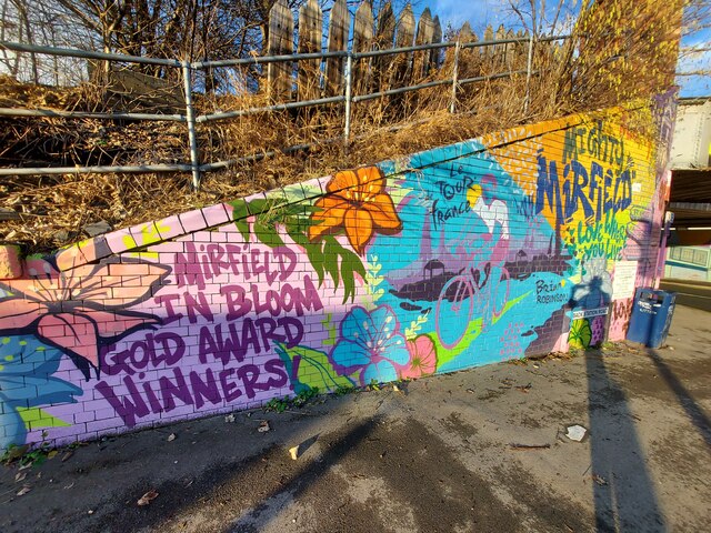
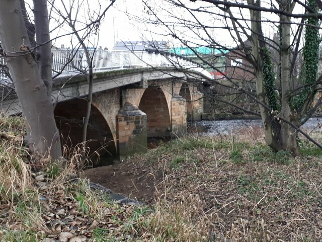
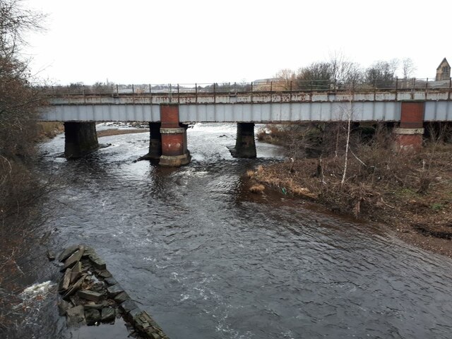
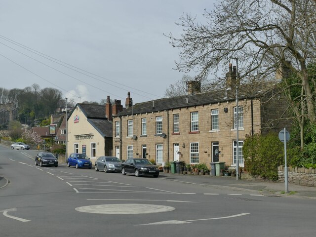
Battyeford is a small village located in the metropolitan borough of Kirklees, within the county of West Yorkshire, England. Situated approximately 3 miles south of the town of Dewsbury, Battyeford lies on the banks of the River Calder and is surrounded by beautiful countryside.
The village is known for its picturesque setting and charming atmosphere, making it an attractive place for residents and visitors alike. Battyeford boasts a mix of traditional stone-built houses, modern residential developments, and a few historic buildings, such as the 16th-century Battyeford Hall.
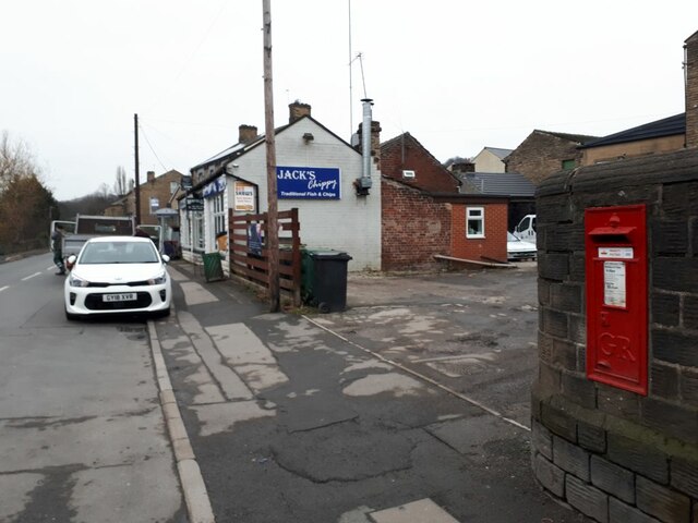
Despite its small size, Battyeford offers a range of amenities to cater to the needs of its residents. These include a primary school, a church, a local convenience store, and a pub. The village is also home to several recreational areas and green spaces, providing opportunities for outdoor activities and leisure.
Battyeford benefits from its proximity to nearby towns and cities. Dewsbury offers a wider range of shopping, dining, and entertainment options, while Huddersfield, only a short distance away, provides access to further amenities and transport links.
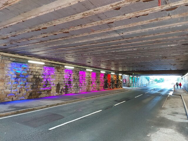
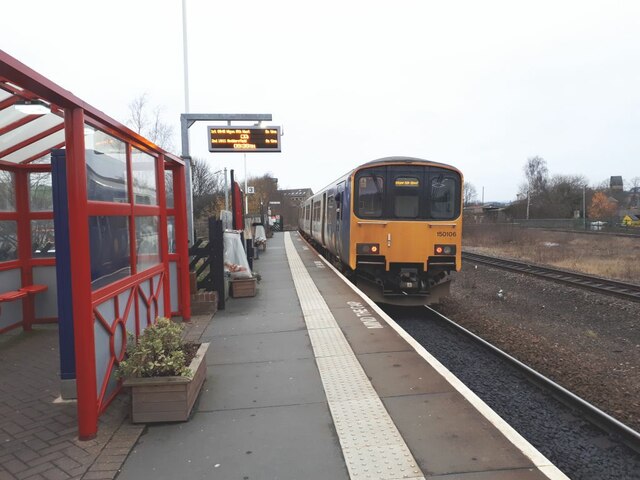
The village is well-connected by road, with the A644 and M62 motorway easily accessible, enabling convenient travel to surrounding areas. Additionally, Battyeford benefits from regular bus services, ensuring good connectivity with neighboring towns and villages.
Overall, Battyeford offers a tranquil and idyllic setting with a strong sense of community, making it an appealing place to live or visit in the heart of Yorkshire.
If you have any feedback on the listing, please let us know in the comments section below.
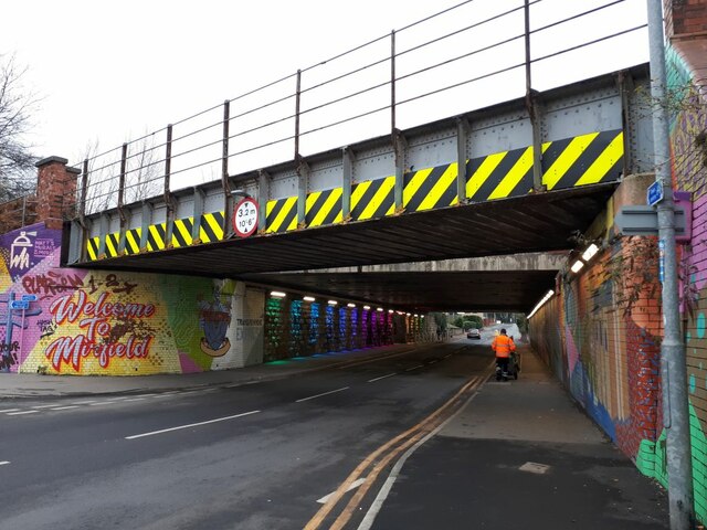
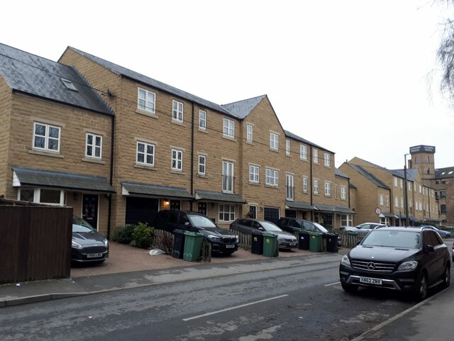
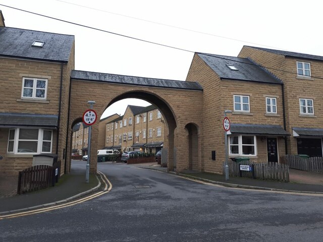
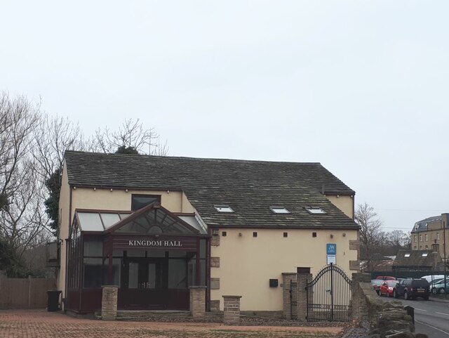
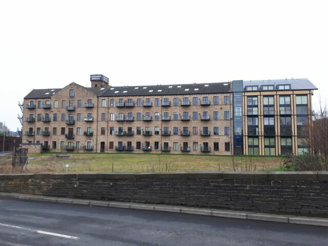
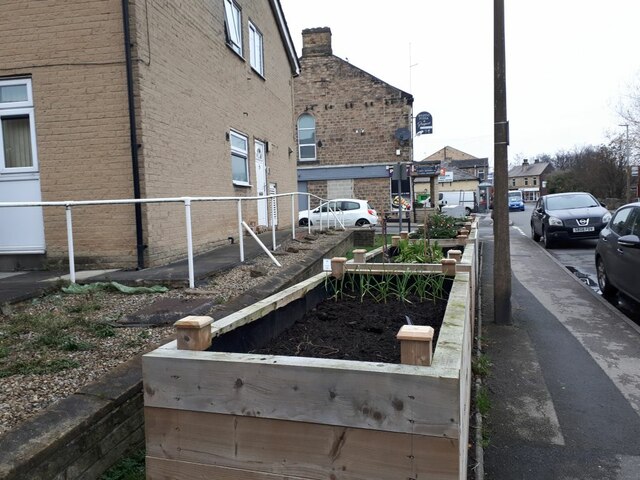
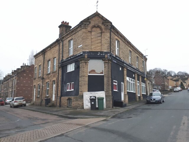
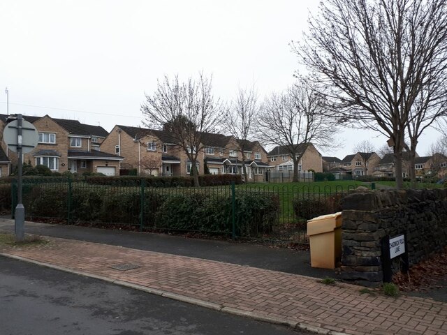
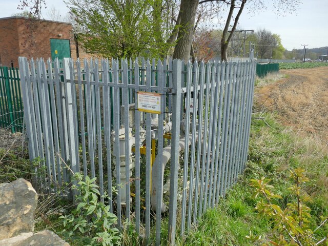
Battyeford Images
Images are sourced within 2km of 53.680166/-1.713826 or Grid Reference SE1920. Thanks to Geograph Open Source API. All images are credited.

Battyeford is located at Grid Ref: SE1920 (Lat: 53.680166, Lng: -1.713826)
Division: West Riding
Unitary Authority: Kirklees
Police Authority: West Yorkshire
What 3 Words
///oddly.twigs.tribal. Near Mirfield, West Yorkshire
Nearby Locations
Related Wikis

Battyeford
Battyeford is a village in West Yorkshire, England west of the town of Mirfield. == History == From 1900 to 1953 the village was served by Battyeford railway...
College of the Resurrection
The College of the Resurrection, popularly known as Mirfield, is an Anglo-Catholic theological college of the Church of England in Mirfield, West Yorkshire...

Heaton Lodge railway station
Heaton Lodge railway station co-served the suburb of Bradley, Huddersfield, in the historical county of West Riding of Yorkshire, England, from 1847 to...
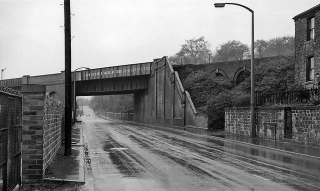
Battyeford railway station
Battyeford railway station served the village of Battyeford in West Yorkshire, England. == History == Built by the London and North Western Railway and...
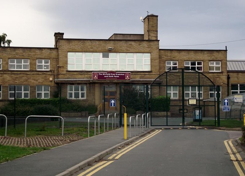
The Mirfield Free Grammar
The Mirfield Free Grammar (also known as the MFG), previously Mirfield High School (MHS), and sixth form is a secondary school in the town of Mirfield...
Holly Bank Trust
Hollybank was one of the first registered schools for disabled children to be built in the North of England. It is a registered charity and care home,...

River Colne, West Yorkshire
The River Colne in West Yorkshire is formed at the confluence of two brooks that originate in the Pennines close to Marsden. It flows in an easterly...
Colne Bridge Mill
Colne Bridge Mill (English: ) was a factory, built in 1775, in the village of Colne Bridge near Bradley and Kirkheaton, Huddersfield, West Yorkshire, England...
Nearby Amenities
Located within 500m of 53.680166,-1.713826Have you been to Battyeford?
Leave your review of Battyeford below (or comments, questions and feedback).