Batt's Corner

Settlement in Surrey Waverley

England

Batt's Corner

Oast House Single square kiln oast house.

Known as The Hop Kiln.
Oast House Credit: Oast House Archive

Batt's Corner is a small village located in the county of Surrey, England. Situated approximately 20 miles southwest of London, it falls within the local government district of Elmbridge. The village is nestled amidst the picturesque countryside and offers residents and visitors a tranquil and idyllic setting.

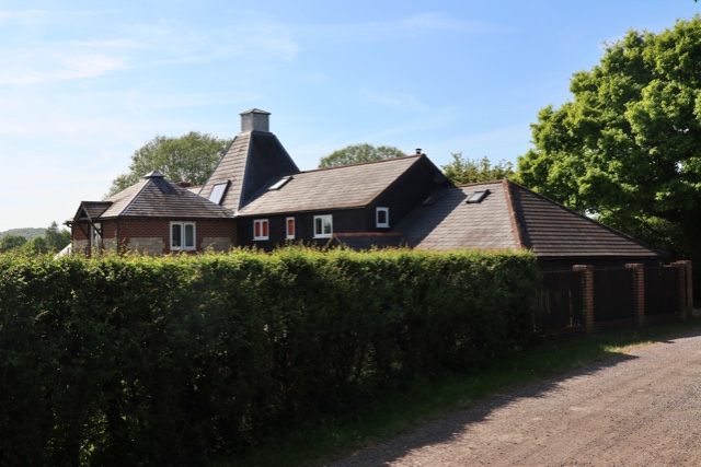
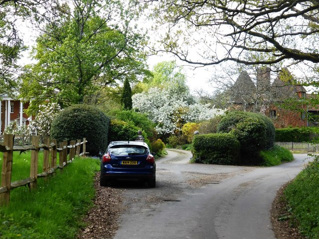
Batt's Corner is known for its quaint charm and traditional architecture. The village is characterized by a collection of well-preserved historic buildings, including old cottages and farmhouses, which provide a glimpse into its rich heritage. The local church, St. Mary's, dating back to the 13th century, is a significant landmark that adds to the village's historical appeal.

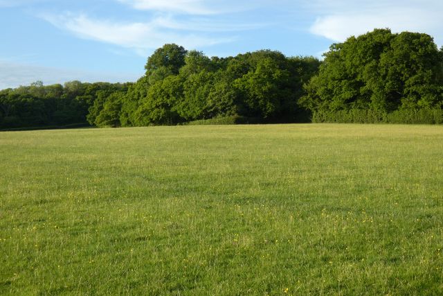
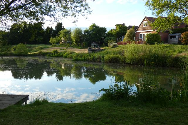
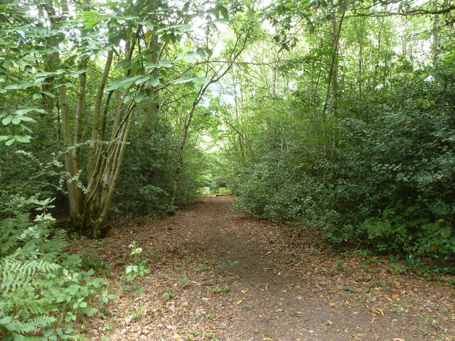
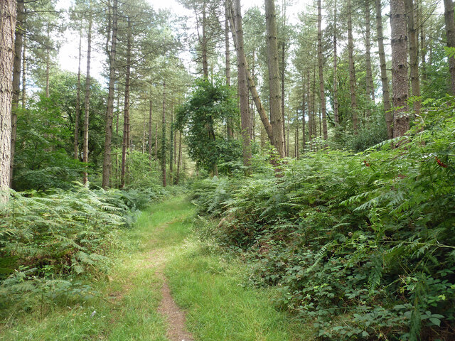
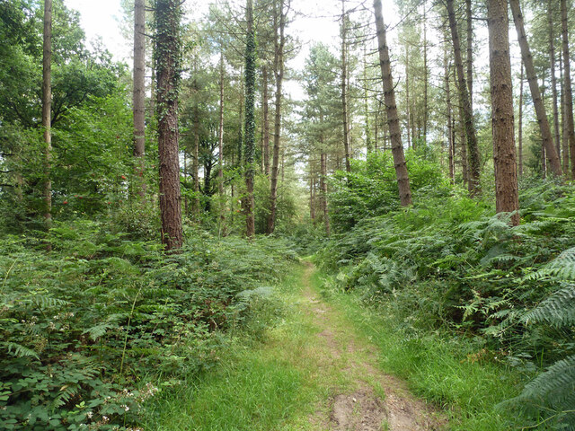
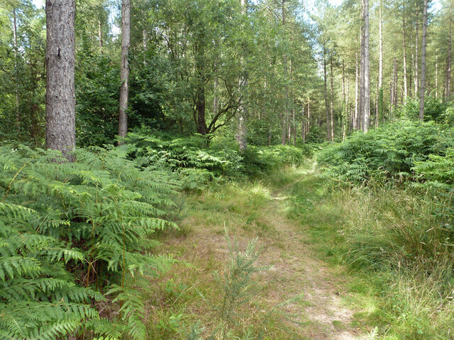
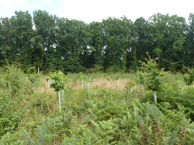
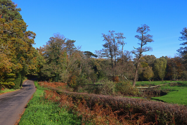
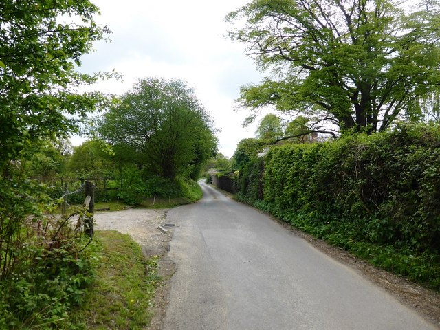
Nature enthusiasts are drawn to Batt's Corner due to its proximity to several green spaces and nature reserves. The village is surrounded by rolling hills, meadows, and woodlands, providing ample opportunities for outdoor activities such as hiking, cycling, and wildlife spotting. The nearby River Mole also offers a serene environment for those seeking tranquility by the water.

Despite its rural setting, Batt's Corner benefits from good transportation links. The village is well-connected to the surrounding areas through a network of roads and public transportation, making it convenient for commuting or exploring the wider region.

While small in size, Batt's Corner boasts a tight-knit community that takes pride in its village and organizes various local events throughout the year. These events, such as summer fairs and community gatherings, foster a sense of community spirit and provide opportunities for residents to come together and socialize.

Overall, Batt's Corner offers a peaceful and picturesque retreat from the nearby urban areas, combining natural beauty, historical charm, and a welcoming community.

If you have any feedback on the listing, please let us know in the comments section below.

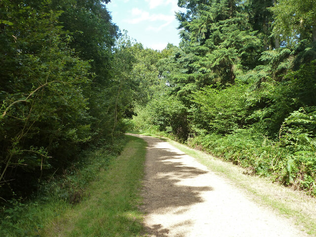
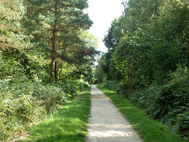
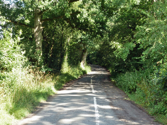
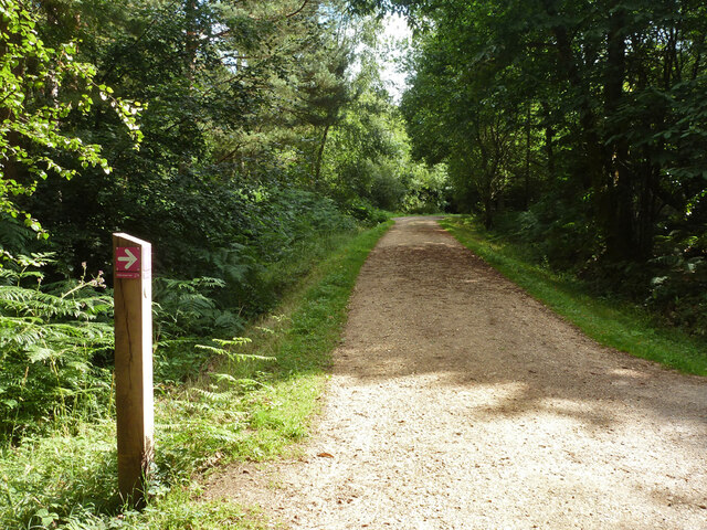
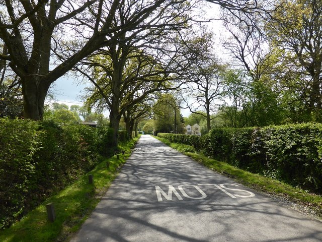
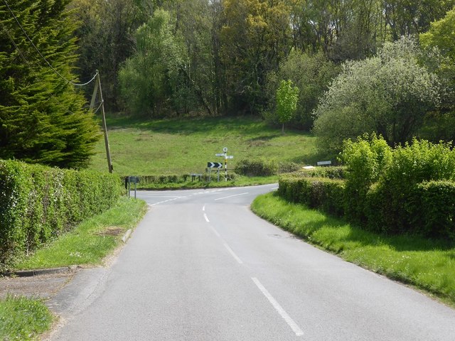
Batt's Corner Images

Images are sourced within 2km of 51.163042/-0.828679 or Grid Reference SU8241. Thanks to Geograph Open Source API. All images are credited.

Oast House Single square kiln oast house.

Known as The Hop Kiln.
Oast House
Single square kiln oast house. Known as The Hop Kiln.
Pasture, Binsted
Pasture, Binsted
Pond and house, Binsted
Path, Alice Holt Forest Heading south in the Glenbervie Inclosure part of the Forestry Commission woodland.
Path, Alice Holt Forest
Heading south in the Glenbervie Inclosure part of the Forestry Commission woodland.
Path, Alice Holt Forest Heading south in the Glenbervie Inclosure part of the Forestry Commission woodland.
Path, Alice Holt Forest
Heading south in the Glenbervie Inclosure part of the Forestry Commission woodland.
Path, Alice Holt Forest Heading south in the Glenbervie Inclosure part of the Forestry Commission woodland.
Path, Alice Holt Forest
Heading south in the Glenbervie Inclosure part of the Forestry Commission woodland.
Path, Alice Holt Forest Heading north in the Glenbervie Inclosure part of the Forestry Commission woodland.
Path, Alice Holt Forest
Heading north in the Glenbervie Inclosure part of the Forestry Commission woodland.
Replanted area, Glenbervie Inclosure, Alice Holt Forest They appear to be a species of oak.
Replanted area, Glenbervie Inclosure, Alice Holt Forest
They appear to be a species of oak.
Track, Alice Holt Forest In the Glenbervie Inclosure part of the Forestry Commission woodland.
Track, Alice Holt Forest
In the Glenbervie Inclosure part of the Forestry Commission woodland.
Path, Alice Holt Forest In the Glenbervie Inclosure part of the Forestry Commission woodland.
Path, Alice Holt Forest
In the Glenbervie Inclosure part of the Forestry Commission woodland.
Woodhill Lane Looking towards Spreakley,  away from its junction with Boundary Road.
Woodhill Lane
Looking towards Spreakley, away from its junction with Boundary Road.
Footpath Binstead 51/3 in Alice Holt Forest Towards Dockenfield Street. The red arrow signs a circular route within the Forestry Commission woodland.
Footpath Binstead 51/3 in Alice Holt Forest
Towards Dockenfield Street. The red arrow signs a circular route within the Forestry Commission woodland.
Shortfield Common Road River running alongside the road.
Shortfield Common Road
River running alongside the road.
Upgrading the visitors car park Alice Holt Forest continues to be very popular.
Upgrading the visitors car park
Alice Holt Forest continues to be very popular.
Summerfield Lane at Broomfields
West End House and Oast House, West End Lane
Boundary Road near Bowlers Farm
Approaching the junction of Dockenfield Street and High Thicket Road
Show me another place!

Batt's Corner is located at Grid Ref: SU8241 (Lat: 51.163042, Lng: -0.828679)

Administrative County: Surrey

District: Waverley

Police Authority: Surrey

What 3 Words

///removers.repeated.picnic. Near Churt, Surrey

Related Wikis

Dockenfield

Dockenfield is a village and civil parish in the borough of Waverley in Surrey, England. The parish is undulating, has a number of sources of the River...

Alice Holt Forest

Alice Holt Forest is a royal forest in Hampshire, situated some 4 miles (6.4 km) south of Farnham, Surrey. Once predominantly an ancient oak forest, it...

Bucks Horn Oak

Bucks Horn Oak is a small village in the East Hampshire district of Hampshire, England and is the main community within Alice Holt Forest. A small eastern...

Pierrepont School, Frensham

Pierrepont School, Frensham, originally known as Pierrepont House School, was a private school in Surrey, England, with day pupils as well as boarders...

Frensham Heights School

Frensham Heights School is an independent school and sixth form college located near Farnham, Surrey, England, run by the registered charity, Frensham...

Frensham

Frensham is a village in Surrey, England, next to the A287 road, 13 miles (20.9 km) WSW of Guildford, the county town. Frensham lies on the right bank...

Rowledge

Rowledge is a village in England on the Surrey–Hampshire border, centred south of the A31 and Farnham. Neighbouring villages include Wrecclesham, Spreakley...

Blacknest

Blacknest is a village and civil parish in Hampshire, England. It is in the civil parish of Binsted. The village has a golf course (the Blacknest Golf...

Nearby Amenities

Located within 500m of 51.163042,-0.828679
Batts Corner
Place: hamlet
Source: npe
Lat/Long: 51.1616879/-0.8284504
Give Way
Lat/Long: 51.160052/-0.8329227
Give Way
Lat/Long: 51.1630822/-0.8284791
Give Way
Lat/Long: 51.1628657/-0.8288207
Traffic Calming: chicane
Lat/Long: 51.1592807/-0.82893
Give Way
Lat/Long: 51.1594282/-0.8263253
Give Way
Lat/Long: 51.1592849/-0.8264762
Give Way
Lat/Long: 51.1589483/-0.831232
Bowlers Farm
Landuse: farm
Note Retag: CS #48756035
Source: OS_OpenData_StreetView
Lat/Long: 51.165662/-0.8275028
Three Oaks
Building: house
Source: OS_OpenData_StreetView
Lat/Long: 51.1609346/-0.8278857
Three Ways
Place: locality
Source: OS_OpenData_StreetView;sign
Lat/Long: 51.158852/-0.8311366
Bench
Lat/Long: 51.1620685/-0.8252314
Bealeswood House
Addr City: Farnham
Addr Housename: Bealeswood House
Addr Place: Dockenfield
Addr Street: Bealeswood Lane
Building: house
Source: OS_OpenData_StreetView
Lat/Long: 51.1614037/-0.822859
Post Box
Collection Times: Mo-Fr 16:45; Sa 09:00
Drive Through: no
Operator: Royal Mail
Post Box Type: wall
Ref: GU10 15
Royal Cypher: EIIR
Royal Cypher Wikidata: Q33102113
Lat/Long: 51.162384/-0.8300418
Bench
Backrest: yes
Lat/Long: 51.1629566/-0.8285354
Barrier: stile
Lat/Long: 51.1643278/-0.8252023
Defibrillator
Defibrillator Location: Facing carpark
Emergency: defibrillator
Indoor: no
Lat/Long: 51.1629409/-0.8275703
The data included in this document is from www.openstreetmap.org. The data is made available under ODbL.

Have you been to Batt's Corner?

Leave your review of Batt's Corner below (or comments, questions and feedback).