Battramsley Cross
Settlement in Hampshire New Forest
England
Battramsley Cross

Battramsley Cross is a small village located in the New Forest district of Hampshire, England. Situated about 3 miles northwest of Lymington, it is surrounded by beautiful countryside and offers a peaceful and idyllic setting for its residents.
The village is best known for its picturesque thatched cottages, which are a prominent feature of the area. These traditional buildings add to the charm and character of Battramsley Cross, creating a quintessential English countryside feel.
Despite its small size, Battramsley Cross is well-connected to nearby towns and cities. Lymington, a bustling market town, is easily accessible and provides residents with a range of amenities, including shops, restaurants, and schools. The nearby cities of Southampton and Bournemouth are also within reach, offering further opportunities for shopping, entertainment, and employment.
For outdoor enthusiasts, Battramsley Cross is a haven. The New Forest National Park, renowned for its stunning landscapes and diverse wildlife, is just a stone's throw away. Residents can enjoy leisurely walks, cycling, and horse riding in this designated area of outstanding natural beauty.
The village also benefits from its proximity to the coast. The stunning beaches of the Solent and the Isle of Wight are just a short drive away, offering residents the chance to relax on the sand, partake in water sports, or simply enjoy the scenic coastal views.
Overall, Battramsley Cross offers a delightful blend of rural living and convenient access to nearby towns and attractions. Its natural beauty, charming architecture, and peaceful atmosphere make it a highly desirable place to live.
If you have any feedback on the listing, please let us know in the comments section below.
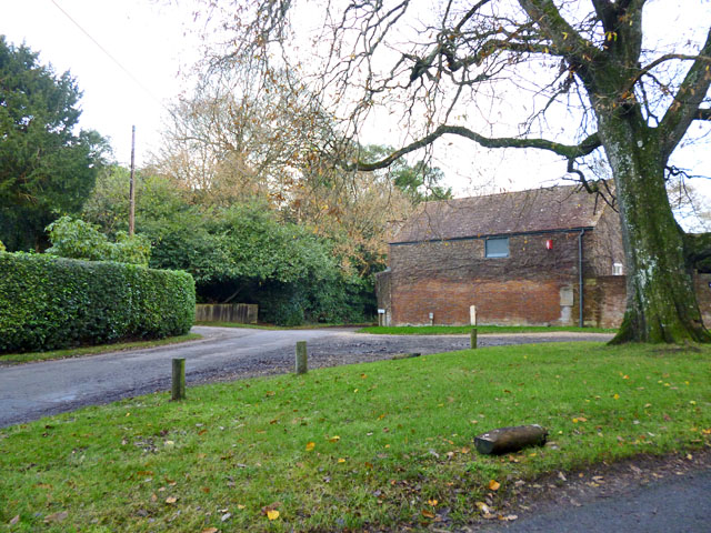
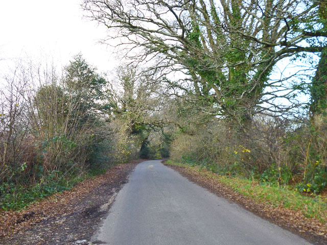
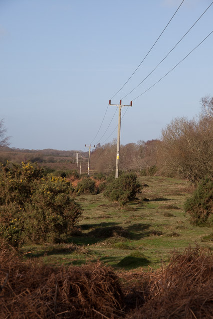
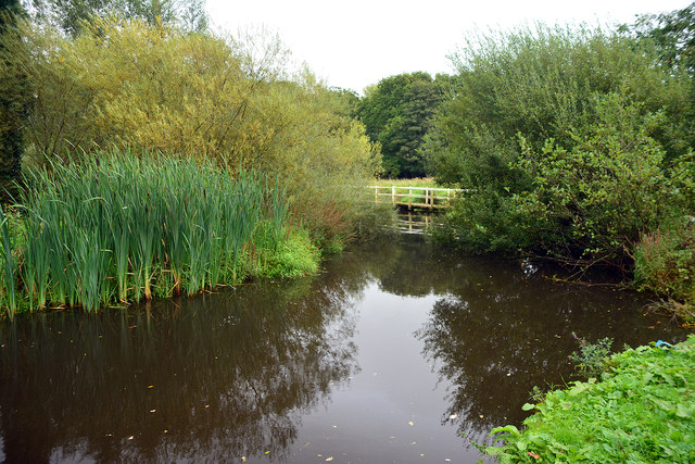
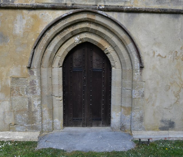
Battramsley Cross Images
Images are sourced within 2km of 50.780753/-1.5616608 or Grid Reference SZ3198. Thanks to Geograph Open Source API. All images are credited.


Battramsley Cross is located at Grid Ref: SZ3198 (Lat: 50.780753, Lng: -1.5616608)
Administrative County: Hampshire
District: New Forest
Police Authority: Hampshire
What 3 Words
///curly.hosts.stall. Near Lymington, Hampshire
Nearby Locations
Related Wikis
Battramsley
Battramsley is a hamlet in the civil parish of Boldre, in the New Forest in Hampshire, England. == Overview == Battramsley is a hamlet located just west...
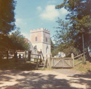
Boldre
Boldre is a village and civil parish in the New Forest district of Hampshire, England. It is in the south of the New Forest National Park, above the broadening...

Shirley Holms Halt railway station
Shirley Holms Halt was a railway halt in the New Forest district of Hampshire. Opened in 1860 it was closed in 1888 with opening of Sway on the South West...

Ampress Works Halt railway station
Ampress Works Halt was a halt station on the Lymington Branch Line which, between 1956 and 1989, served the Wellworthy engineering works near Lymington...
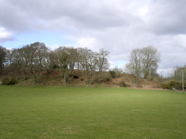
Buckland Rings
Buckland Rings is the site of an Iron Age hill fort in the town of Lymington, Hampshire. Today, the mounds and dykes around the outside which once constituted...

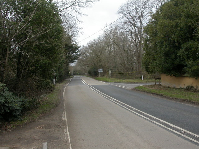
A337 road
The A337 road is a road in southern England that runs from the M27 motorway in Hampshire to Christchurch in Dorset. == Route of Road == The A337 begins...

Lymington New Forest Hospital
Lymington New Forest Hospital is a community hospital in Lymington, Hampshire. It is managed by the Southern Health NHS Foundation Trust. == History... ==
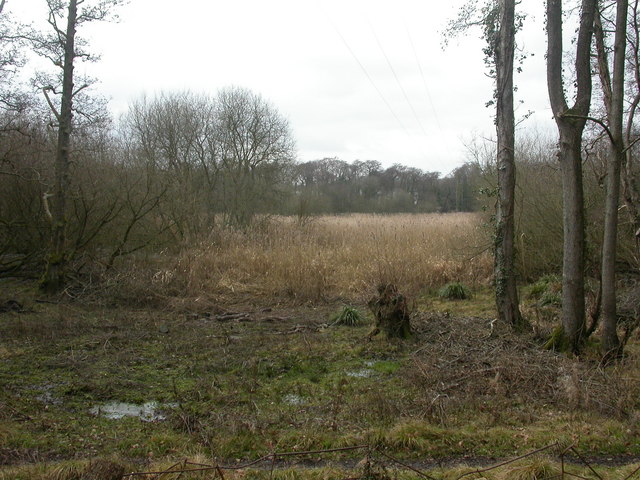
Lymington River Reedbeds
Lymington River Reedbeds is a 41.7-hectare (103-acre) biological Site of Special Scientific Interest in Lymington in Hampshire. It is a nature reserve...
Nearby Amenities
Located within 500m of 50.780753,-1.5616608Have you been to Battramsley Cross?
Leave your review of Battramsley Cross below (or comments, questions and feedback).