Stocks Bank
Settlement in Yorkshire
England
Stocks Bank
Stocks Bank is a small village located in the county of Yorkshire, England. Situated in the rural district of Kirklees, it is nestled in the picturesque countryside, offering residents and visitors a tranquil and idyllic setting.
The village is known for its historic significance, with evidence of human settlement dating back to the Roman times. Over the centuries, Stocks Bank has remained relatively untouched, maintaining its charm and character. The architecture in the village is predominantly traditional, featuring charming cottages and buildings made from local stone.
Despite its small size, Stocks Bank is well-equipped with essential amenities. The village has a local convenience store, a post office, and a few small businesses, catering to the needs of its residents. Additionally, there is a primary school in the village, ensuring education is easily accessible for families.
The surrounding countryside offers ample opportunities for outdoor activities and exploration. The nearby Yorkshire Dales National Park provides stunning landscapes, ideal for hiking, cycling, and enjoying nature. Stocks Bank is also within close proximity to various historical sites, such as castles and ruins, allowing visitors to delve into the region's rich history.
Overall, Stocks Bank is a charming village that offers a peaceful and scenic escape from the hustle and bustle of city life. Its historical significance, beautiful countryside, and essential amenities make it a desirable place to live or visit in Yorkshire.
If you have any feedback on the listing, please let us know in the comments section below.
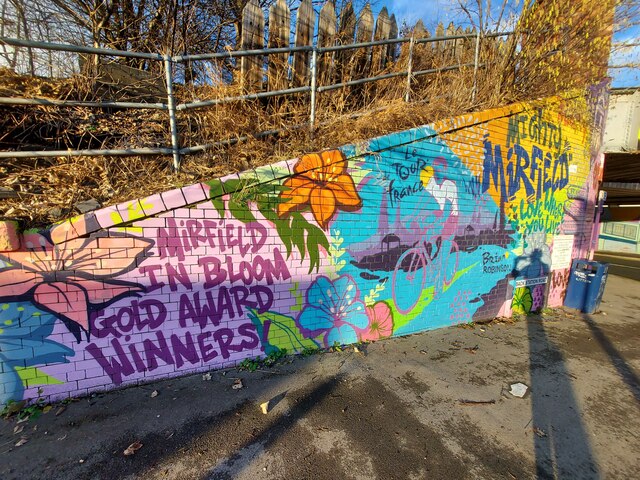
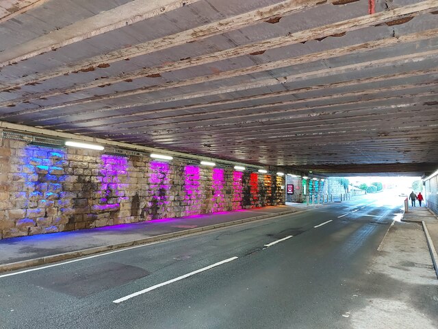
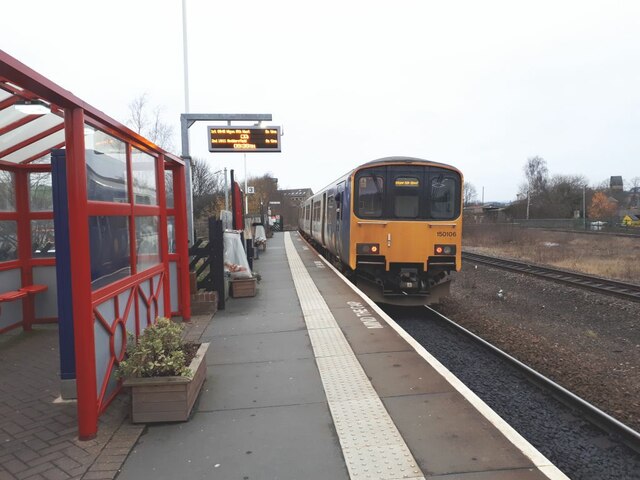
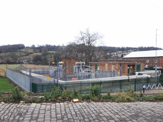
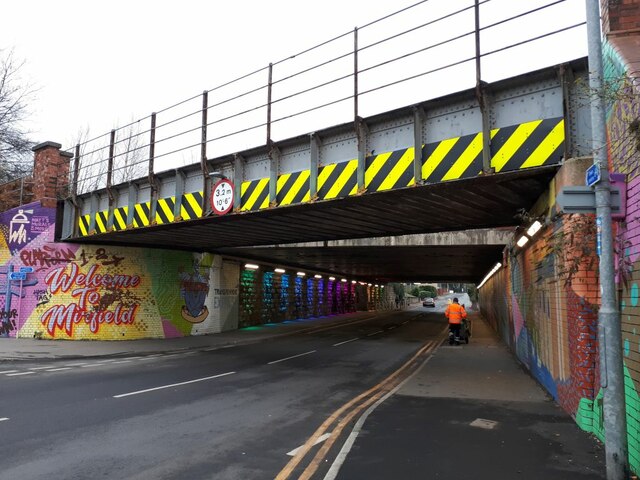
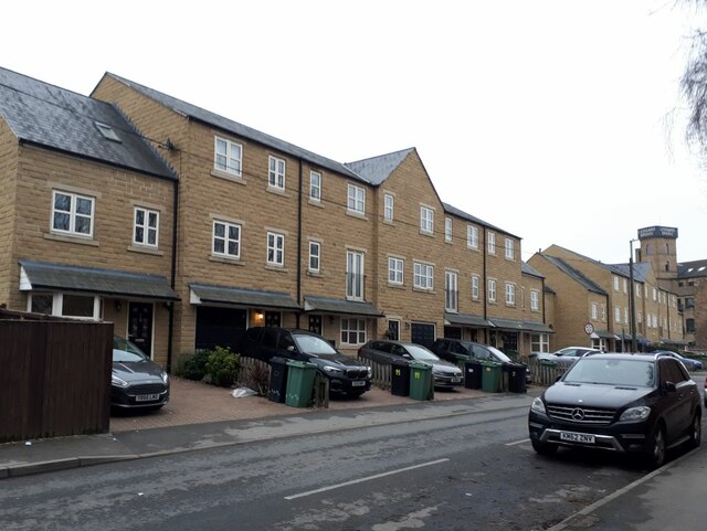
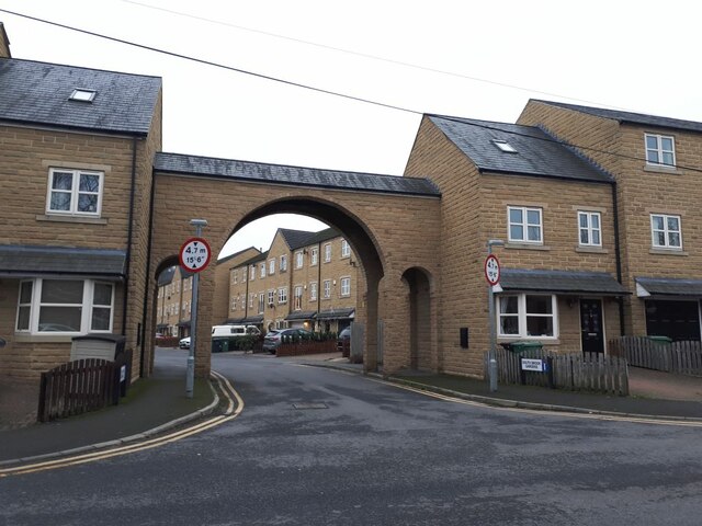
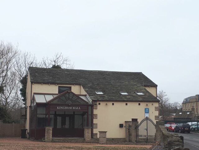
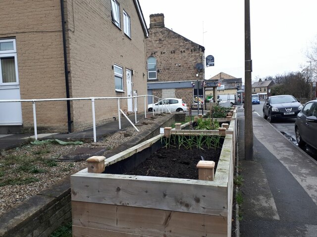
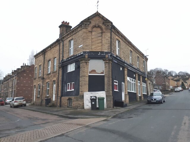
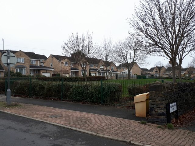
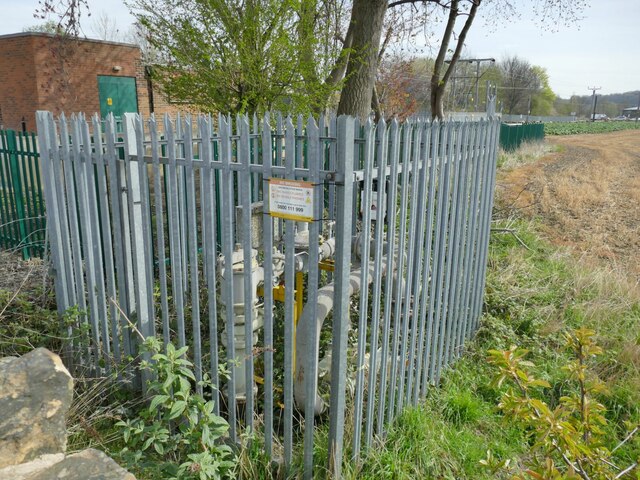
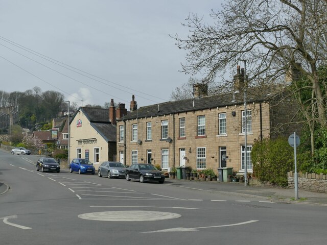
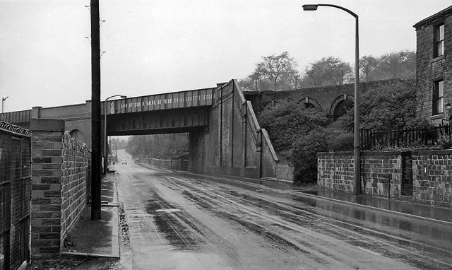
Stocks Bank Images
Images are sourced within 2km of 53.679702/-1.707774 or Grid Reference SE1920. Thanks to Geograph Open Source API. All images are credited.

Stocks Bank is located at Grid Ref: SE1920 (Lat: 53.679702, Lng: -1.707774)
Division: West Riding
Unitary Authority: Kirklees
Police Authority: West Yorkshire
What 3 Words
///internal.flamingo.bookshop. Near Mirfield, West Yorkshire
Nearby Locations
Related Wikis

Battyeford
Battyeford is a village in West Yorkshire, England west of the town of Mirfield. == History == From 1900 to 1953 the village was served by Battyeford railway...
Battyeford railway station
Battyeford railway station served the village of Battyeford in West Yorkshire, England. == History == Built by the London and North Western Railway and...
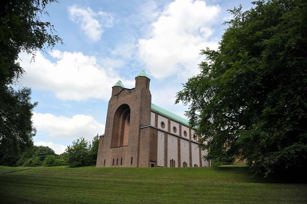
College of the Resurrection
The College of the Resurrection, popularly known as Mirfield, is an Anglo-Catholic theological college of the Church of England in Mirfield, West Yorkshire...

Heaton Lodge railway station
Heaton Lodge railway station co-served the suburb of Bradley, Huddersfield, in the historical county of West Riding of Yorkshire, England, from 1847 to...
Holly Bank Trust
Hollybank was one of the first registered schools for disabled children to be built in the North of England. It is a registered charity and care home,...
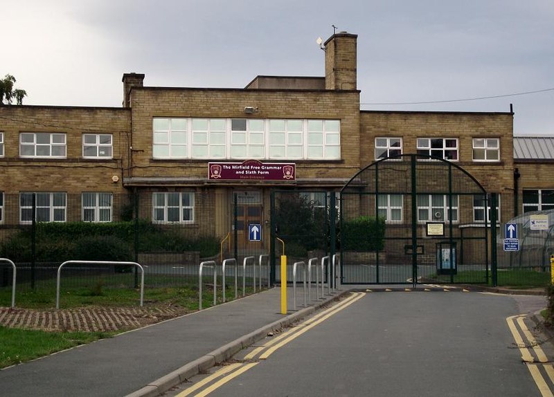
The Mirfield Free Grammar
The Mirfield Free Grammar (also known as the MFG), previously Mirfield High School (MHS), and sixth form is a secondary school in the town of Mirfield...

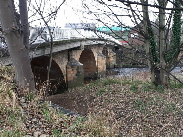
Ledgard Bridge
Ledgard Bridge crosses the River Calder in Mirfield, West Yorkshire, England. It was built in 1800 as a replacement for an earlier bridge in the same location...

Mirfield Town Hall
Mirfield Town Hall is a former municipal building in Huddersfield Road in Mirfield, a town in West Yorkshire in England. The building, which was previously...
Nearby Amenities
Located within 500m of 53.679702,-1.707774Have you been to Stocks Bank?
Leave your review of Stocks Bank below (or comments, questions and feedback).