Batworthy
Settlement in Devon West Devon
England
Batworthy
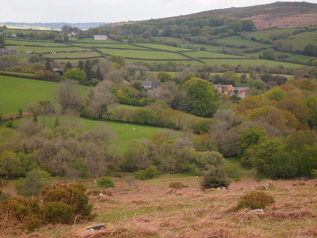
Batworthy is a small hamlet located in the county of Devon, England. Situated in the heart of Dartmoor National Park, it is surrounded by picturesque landscapes and offers a peaceful and idyllic setting. The hamlet is part of the civil parish of Chagford and is approximately 4 miles northwest of the town center.
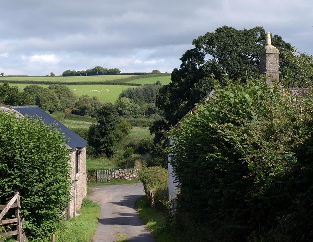
Batworthy is characterized by its traditional stone-built cottages, which add to its charm and historical appeal. The hamlet is scattered with a handful of residential properties, making it a close-knit community with a small population. The residents often enjoy a quiet and close relationship with nature, as the area is rich in wildlife and offers ample opportunities for outdoor activities such as hiking, cycling, and birdwatching.
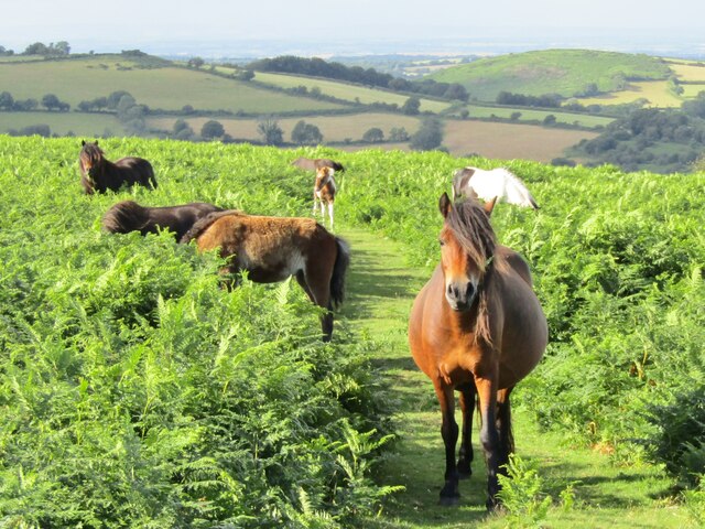
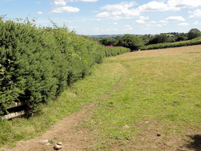
The surrounding area of Batworthy is renowned for its natural beauty, with Dartmoor National Park offering a diverse range of landscapes including open moorland, wooded areas, and dramatic granite tors. These features attract visitors who appreciate the tranquility and stunning vistas that the region has to offer.
Although Batworthy itself does not have any commercial facilities, the nearby town of Chagford provides a range of amenities including shops, restaurants, and schools. This allows residents of Batworthy to enjoy a peaceful rural lifestyle while still having access to essential services.
In summary, Batworthy is a charming and secluded hamlet nestled within the breathtaking landscapes of Dartmoor National Park. Its historical cottages, close-knit community, and proximity to nature make it an ideal location for those seeking a tranquil and picturesque place to live or visit.
If you have any feedback on the listing, please let us know in the comments section below.
Batworthy Images
Images are sourced within 2km of 50.650359/-3.8260922 or Grid Reference SX7185. Thanks to Geograph Open Source API. All images are credited.


Batworthy is located at Grid Ref: SX7185 (Lat: 50.650359, Lng: -3.8260922)
Administrative County: Devon
District: West Devon
Police Authority: Devon and Cornwall
What 3 Words
///circle.forget.practical. Near Chagford, Devon
Nearby Locations
Related Wikis
Batworthy
Batworthy is a village in Devon, England. == References ==

Miniature Pony Centre
The Miniature Pony Centre was a farm tourist attraction based in the center of the Dartmoor National Park, near Moretonhampstead. In 2023, it permanently...
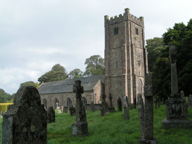
St Michael the Archangel's Church, Chagford
St Michael the Archangel's Church, Chagford is a Grade I listed parish church in the Church of England Diocese of Exeter in Chagford, Devon. == History... ==

The Three Crowns Hotel
The Three Crowns Hotel, also Three Crowns Chagford, is a historical hotel in Chagford, Devon, England. The hotel, noted for its granite facade and 13th...
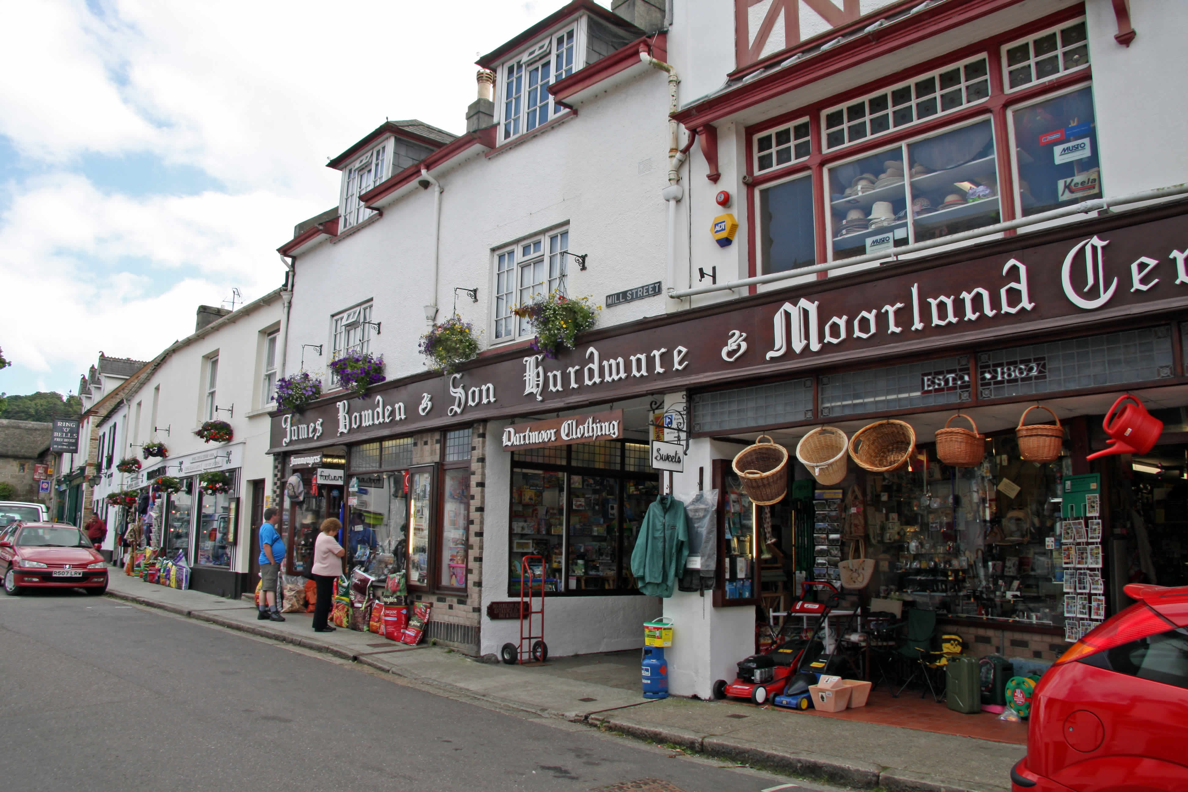
Chagford
Chagford is a market town and civil parish on the north-east edge of Dartmoor, in Devon, England, close to the River Teign and the A382, 4 miles (6 km...
Easdon Tor
Easdon Tor is a granite tor on Dartmoor, in southwest England. It stands at 439 metres above sea level and the highest point is marked with a triangulation...
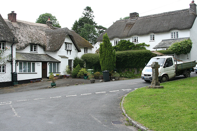
Frenchbeer
Frenchbeer is a settlement in Devon, England. It is in Dartmoor national park. Fernworthy reservoir is to the south and so is the South Teign river. Chagford...
North Bovey
North Bovey is a village and civil parish situated on the south-eastern side of Dartmoor National Park, Devon, England, about 11 miles WSW of the city...
Nearby Amenities
Located within 500m of 50.650359,-3.8260922Have you been to Batworthy?
Leave your review of Batworthy below (or comments, questions and feedback).