Bae Felen
Sea, Estuary, Creek in Caernarfonshire
Wales
Bae Felen
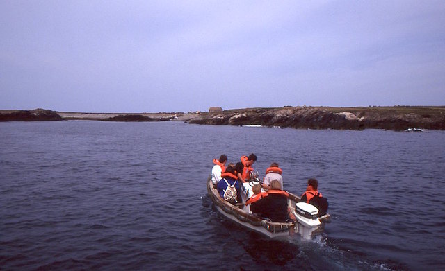
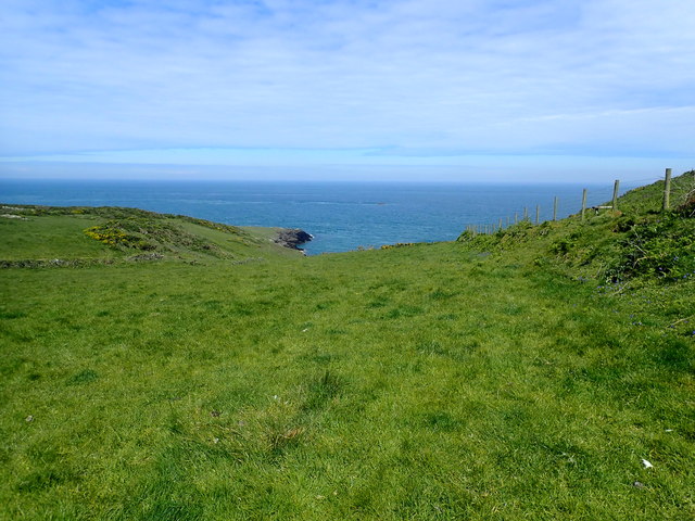
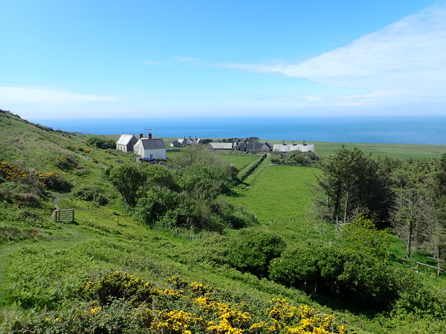
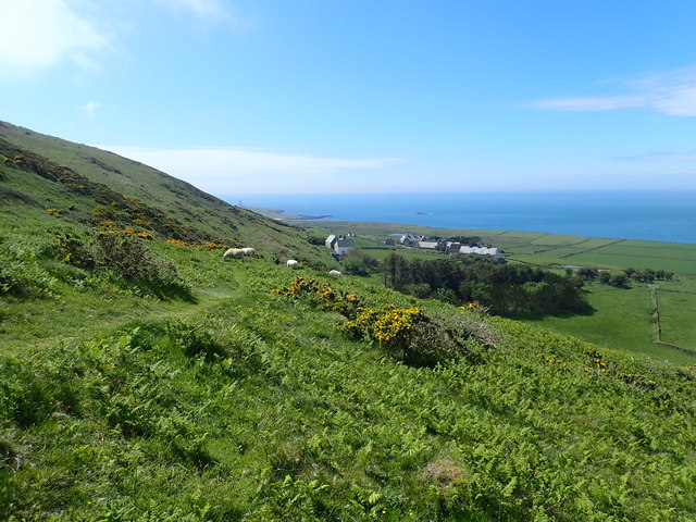
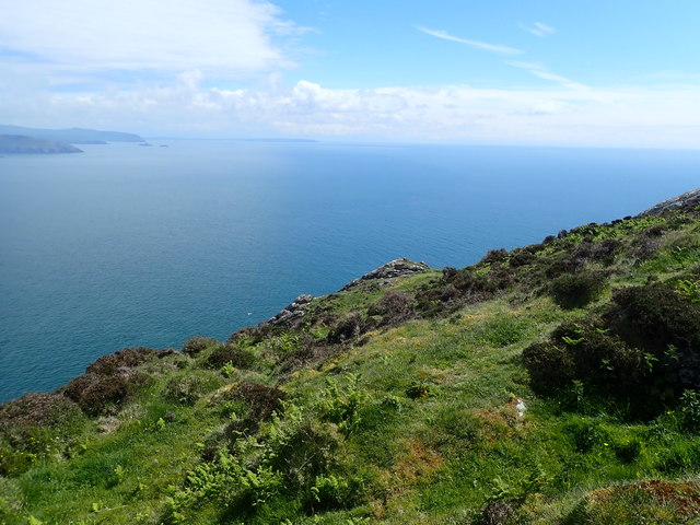
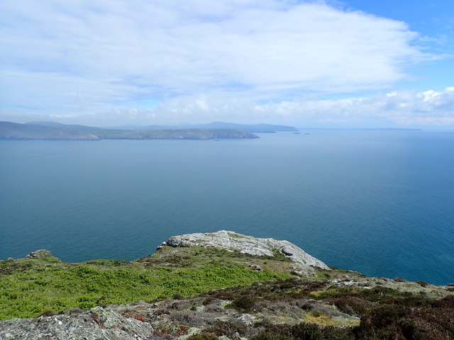
Bae Felen is a coastal area located in the county of Caernarfonshire, Wales. It is situated on the North Wales coast, approximately 9 miles southwest of the town of Caernarfon. Bae Felen is a picturesque and diverse landscape, encompassing a sea, estuary, and creek.
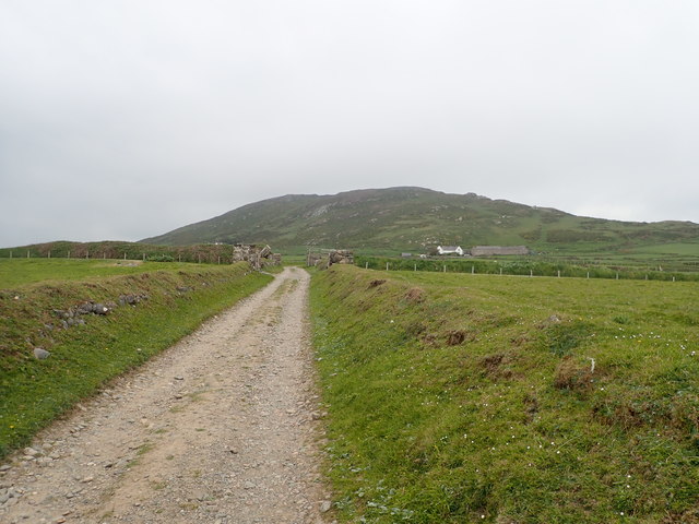
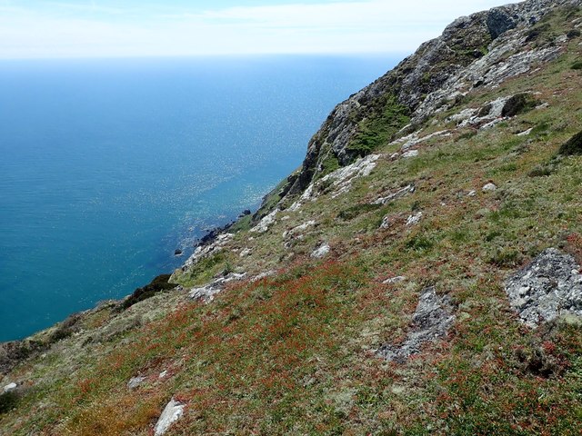
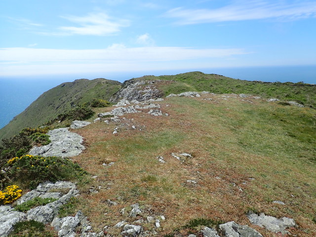
The area is characterized by its stunning natural beauty, with rugged cliffs, sandy beaches, and panoramic views of the Irish Sea. Bae Felen is known for its rich biodiversity, making it a popular destination for nature enthusiasts and birdwatchers. The estuary and creek provide important habitats for a variety of bird species, including waders, waterfowl, and migratory birds.
The sea at Bae Felen offers opportunities for recreational activities such as swimming, surfing, and sailing. The sandy beaches are perfect for sunbathing and picnicking during the warmer months. The area also attracts fishing enthusiasts, who can try their luck at catching sea trout, mackerel, or even salmon.
Bae Felen is a tranquil and peaceful spot, ideal for those seeking a break from the hustle and bustle of city life. It offers breathtaking coastal walks, allowing visitors to explore its diverse ecosystems and enjoy the stunning views. The nearby town of Caernarfon provides amenities such as accommodation, restaurants, and shops, making Bae Felen a convenient and enjoyable destination for tourists and locals alike.
If you have any feedback on the listing, please let us know in the comments section below.
Bae Felen Images
Images are sourced within 2km of 52.762533/-4.7802287 or Grid Reference SH1221. Thanks to Geograph Open Source API. All images are credited.
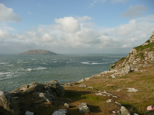
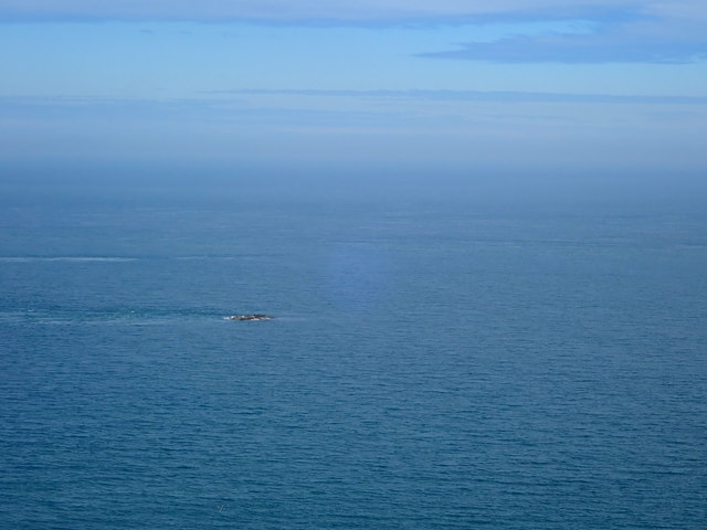
![The misty isle The title might suggest the Isle of Skye, but this is Ynys Enlli [Bardsey] shrouded in sea mist on a warm September day.](https://s0.geograph.org.uk/geophotos/05/55/75/5557588_00d7f4cc.jpg)

Bae Felen is located at Grid Ref: SH1221 (Lat: 52.762533, Lng: -4.7802287)
Unitary Authority: Gwynedd
Police Authority: North Wales
What 3 Words
///longer.breached.pelted. Near Nefyn, Gwynedd
Nearby Locations
Related Wikis

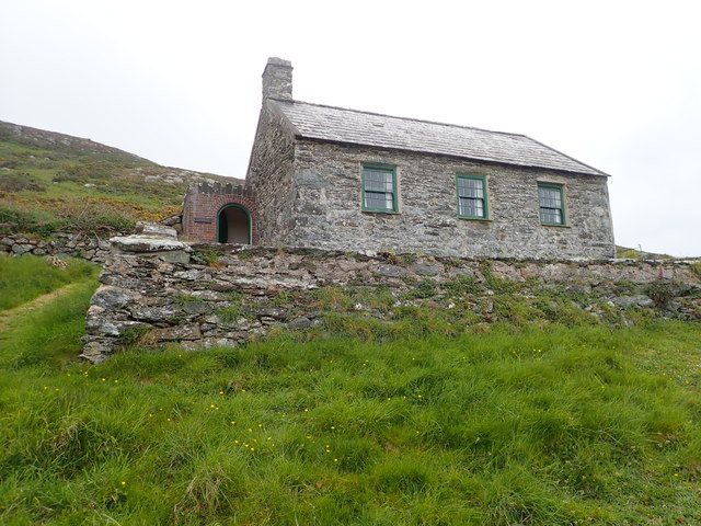
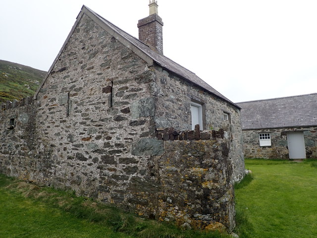
Bardsey Bird and Field Observatory
Bardsey Bird and Field Observatory is a bird observatory on Bardsey Island, off the Welsh coast. It was founded in 1953 by a group of ornithologists from...

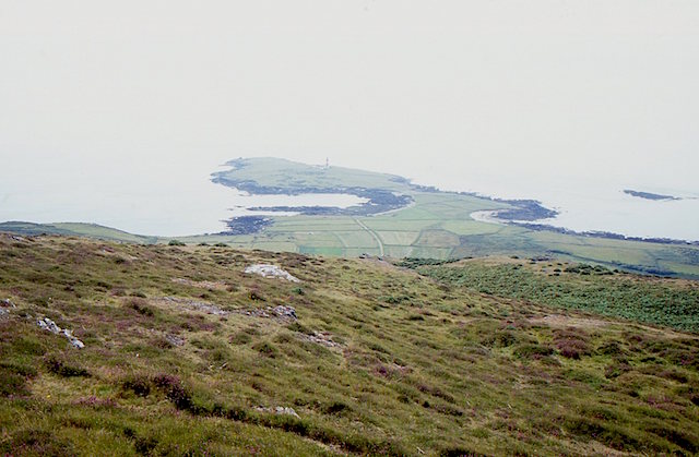
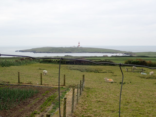
Bardsey Island
Bardsey Island (Welsh: Ynys Enlli), known as the legendary "Island of 20,000 Saints", is located 1.9 miles (3.1 km) off the Llŷn Peninsula in the Welsh...

Bardsey Lighthouse
Bardsey Lighthouse stands on the southerly tip of Bardsey Island, off the Llŷn Peninsula in Gwynedd, Wales, and guides vessels passing through St George...

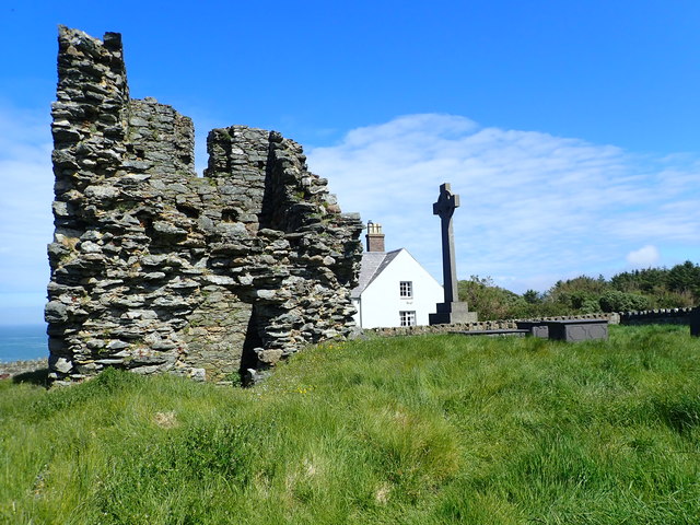
St Hywyn's Church, Aberdaron
The Church of St Hywyn, Aberdaron, Gwynedd, Wales, is a parish church dating from the 12th century. Its origins are earlier, as a clas church from the...
Nearby Amenities
Located within 500m of 52.762533,-4.7802287Have you been to Bae Felen?
Leave your review of Bae Felen below (or comments, questions and feedback).