Poll an t-Sean Eòin
Sea, Estuary, Creek in Sutherland
Scotland
Poll an t-Sean Eòin

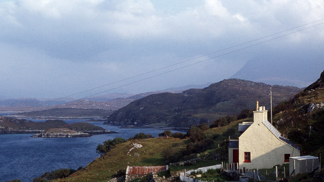
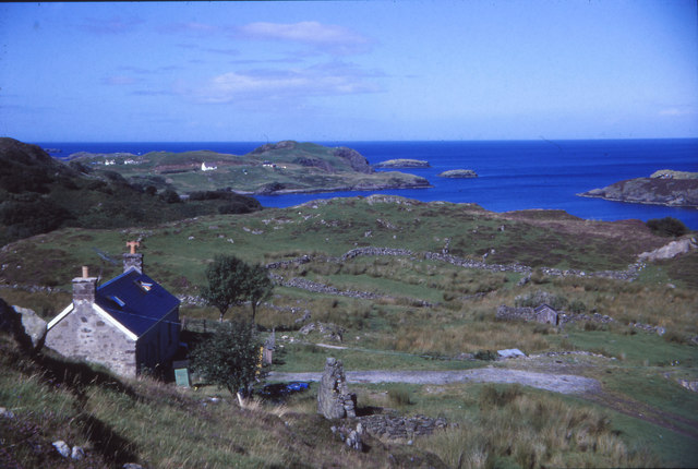
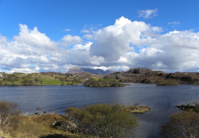
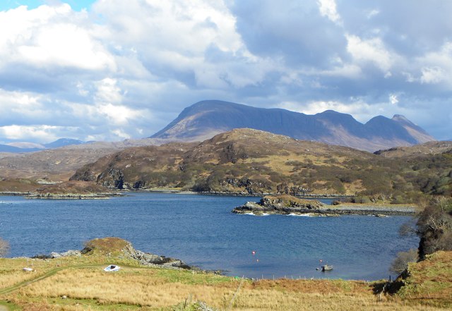
Poll an t-Sean Eòin, also known as the Old John's Pool, is a picturesque sea inlet located in the county of Sutherland, Scotland. Situated on the northwestern coast of the country, it is a popular destination for both locals and tourists seeking natural beauty and tranquility.
The estuary is characterized by its stunning landscape and diverse wildlife. Surrounded by rolling hills and rugged cliffs, the area offers breathtaking views of the North Atlantic Ocean. The estuary itself is a haven for various bird species, including seabirds such as gulls and terns. It is also a significant habitat for wading birds, with oystercatchers and redshanks being commonly sighted.
The creek, formed by the confluence of a small river and the sea, is known for its calm and clear waters. This makes it an ideal spot for fishing and boating enthusiasts. Anglers often gather here to try their luck at catching salmon or sea trout.
Visitors to Poll an t-Sean Eòin can also enjoy leisurely walks along the shoreline, taking in the fresh sea breeze and the beauty of the surrounding nature. The estuary is a designated Site of Special Scientific Interest, further emphasizing its ecological importance and conservation efforts.
In conclusion, Poll an t-Sean Eòin is a captivating sea inlet in Sutherland, Scotland, offering a serene escape into nature. With its stunning landscape, diverse wildlife, and recreational opportunities, it is a must-visit destination for those seeking a peaceful coastal experience.
If you have any feedback on the listing, please let us know in the comments section below.
Poll an t-Sean Eòin Images
Images are sourced within 2km of 58.253962/-5.1965565 or Grid Reference NC1233. Thanks to Geograph Open Source API. All images are credited.


![Drumbeg Stores An award winning village shop [beyond the white house] with slightly less range of foods than M&S in Inverness, but the Mull cheese is very acceptable.](https://s3.geograph.org.uk/geophotos/05/77/65/5776527_b6a2a9b9.jpg)


Poll an t-Sean Eòin is located at Grid Ref: NC1233 (Lat: 58.253962, Lng: -5.1965565)
Unitary Authority: Highland
Police Authority: Highlands and Islands
What 3 Words
///swimmer.modes.lushly. Near Clachtoll, Highland
Related Wikis
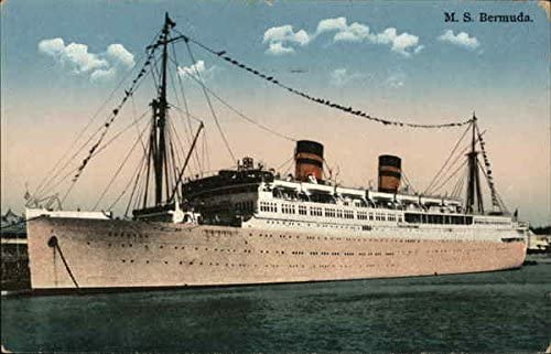
MV Bermuda
MS Bermuda was a passenger motor ship that Furness, Withy's Furness Bermuda Line operated between New York and Bermuda from 1928 until 1931. She was damaged...

Culkein Drumbeg
Culkein Drumbeg (Scottish Gaelic: Cùl-cinn an Droma Bhig) is a remote village on the north west coast of Scotland. It is located 0.93 miles (1.50 km) north...

Drumbeg, Sutherland
Drumbeg (Scottish Gaelic: An Druim Beag) is a remote crofting village on the north west coast of Scotland in Assynt, Sutherland, Scottish Highlands and...

Nedd
Nedd (Scottish Gaelic: An Nead) is a small village, which lies on the western head of Loch Nedd in Lairg, western Sutherland, Scottish Highlands and is...
Nearby Amenities
Located within 500m of 58.253962,-5.1965565Have you been to Poll an t-Sean Eòin?
Leave your review of Poll an t-Sean Eòin below (or comments, questions and feedback).