Bodmin Pill
Sea, Estuary, Creek in Cornwall
England
Bodmin Pill
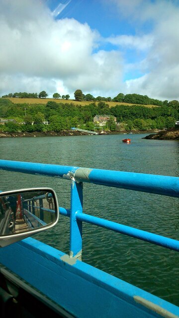
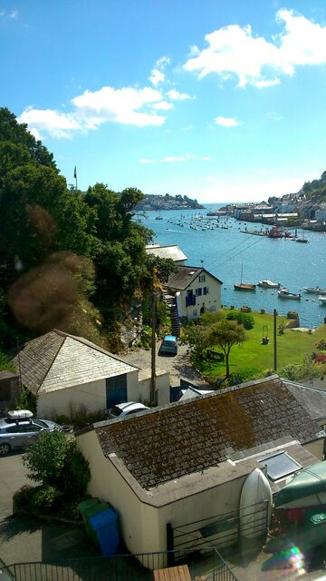
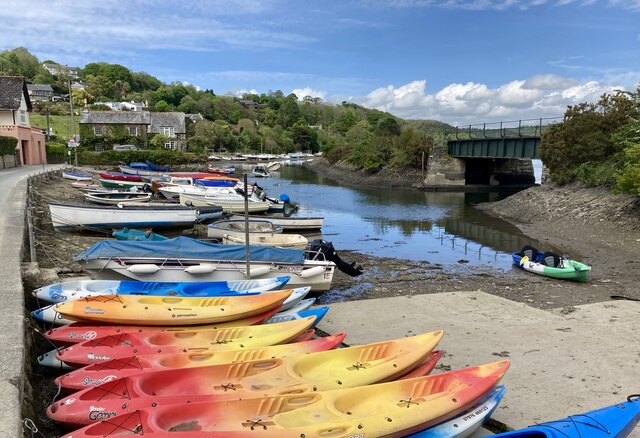
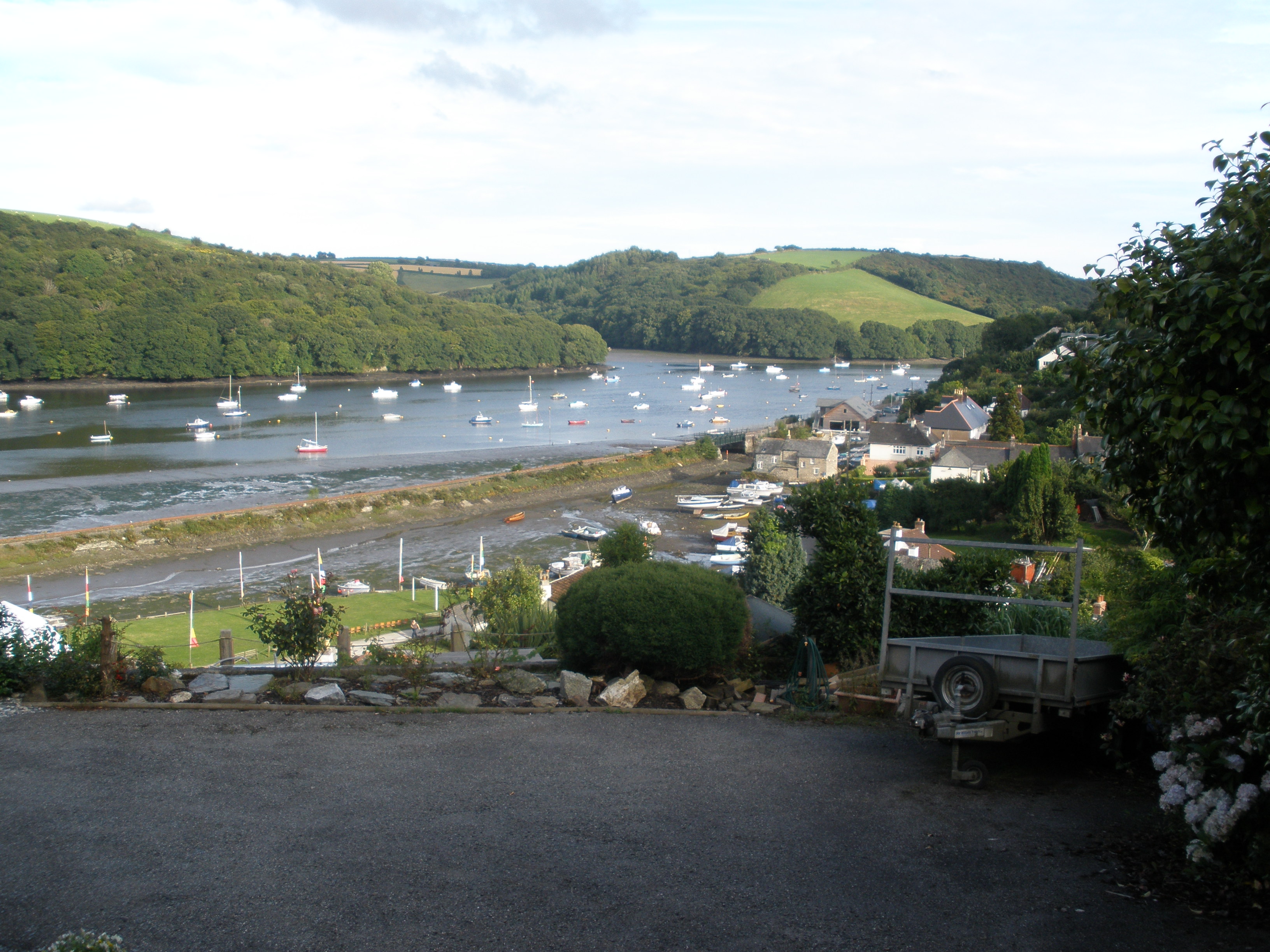
Bodmin Pill is a picturesque estuary located in Cornwall, England. Nestled between the towns of Bodmin and Lostwithiel, it is known for its natural beauty and tranquil atmosphere. The estuary is formed by the convergence of the River Fowey and the River Lerryn, creating a unique landscape that combines elements of both a creek and a sea.
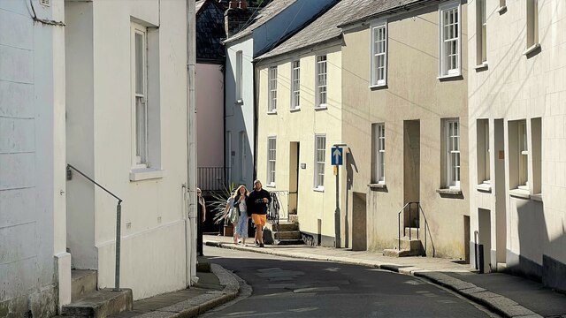
The estuary is characterized by its sandy beaches, rocky outcrops, and lush vegetation. The surrounding area is predominantly rural, with rolling hills and farmland adding to the charm of the landscape. Bodmin Pill is a popular destination for nature lovers, offering a wide range of activities such as boating, fishing, and birdwatching.
The estuary is home to a variety of wildlife, including herons, egrets, and kingfishers, making it a haven for bird enthusiasts. The clear waters of Bodmin Pill also support a diverse range of fish species, attracting anglers from near and far.
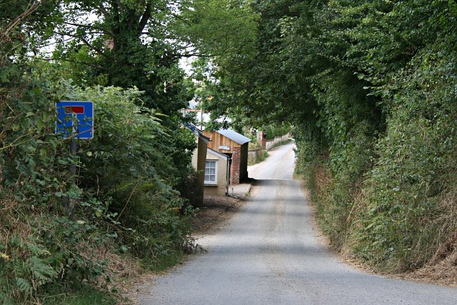
The estuary is easily accessible, with nearby parking facilities and a network of footpaths that allow visitors to explore the area on foot. There are also several picnic spots along the banks, providing the perfect opportunity to relax and take in the stunning views.
Overall, Bodmin Pill is a hidden gem in Cornwall, offering a peaceful retreat for those seeking to immerse themselves in nature and enjoy the beauty of the sea, estuary, and creek.
If you have any feedback on the listing, please let us know in the comments section below.
Bodmin Pill Images
Images are sourced within 2km of 50.354341/-4.6398897 or Grid Reference SX1253. Thanks to Geograph Open Source API. All images are credited.


Bodmin Pill is located at Grid Ref: SX1253 (Lat: 50.354341, Lng: -4.6398897)
Unitary Authority: Cornwall
Police Authority: Devon and Cornwall
What 3 Words
///moon.snapper.norms. Near Fowey, Cornwall
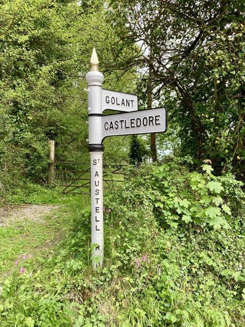
Nearby Locations
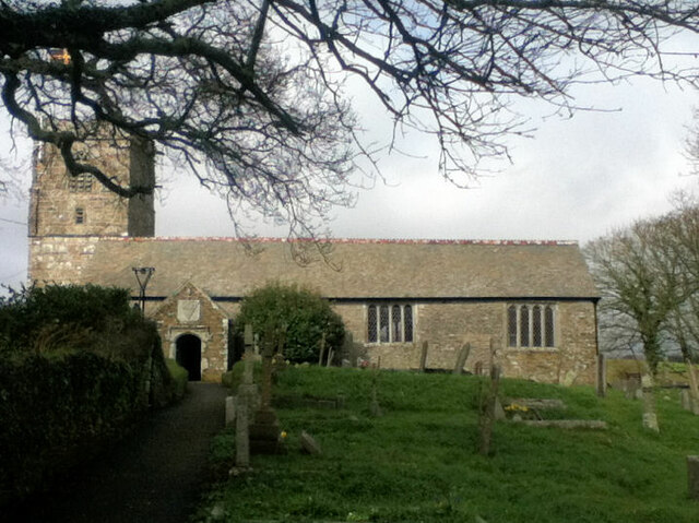
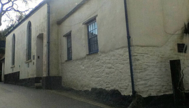
Related Wikis
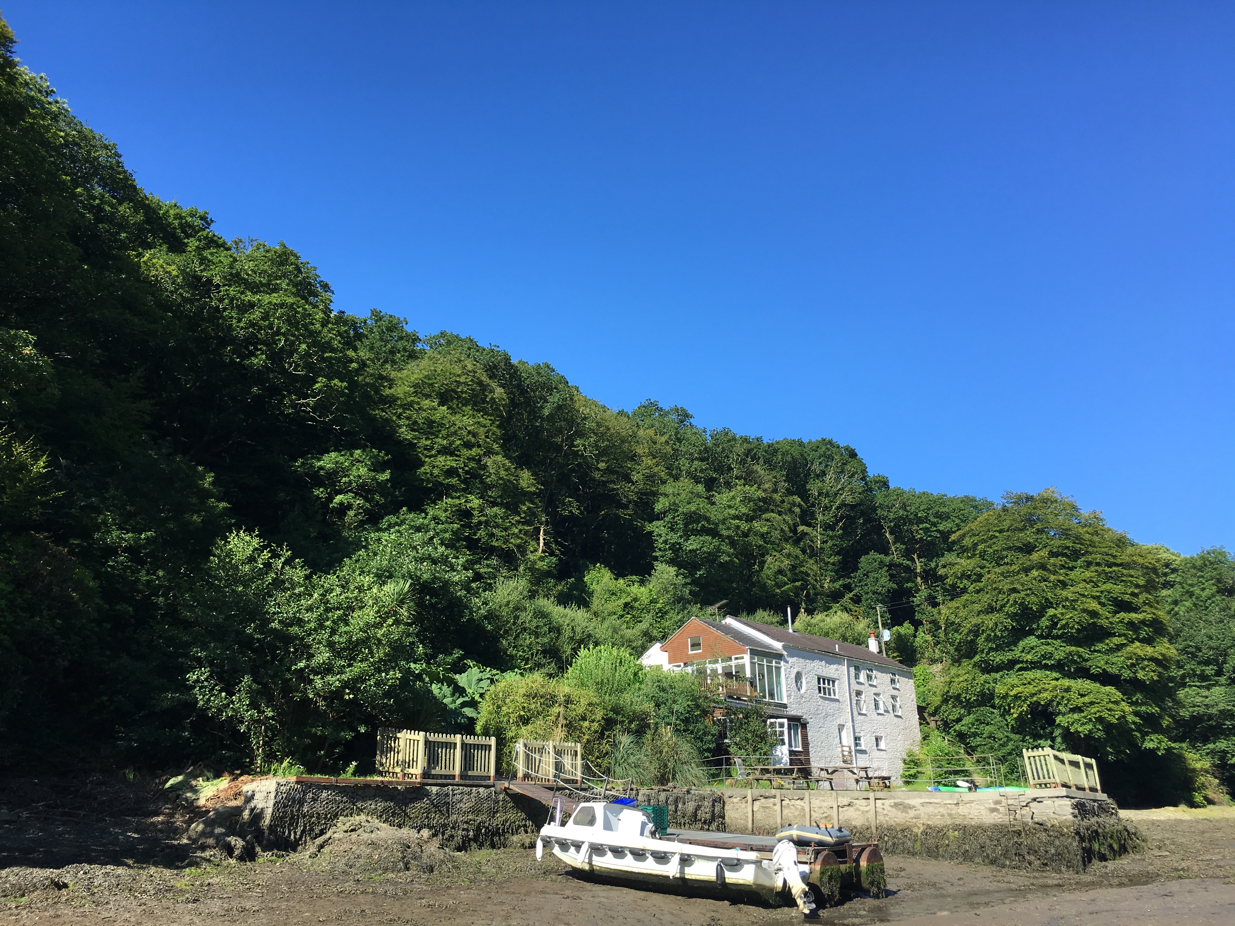
Sawmills Studios
Sawmills Studios is a recording studio founded in 1974 by record producer, Tony Cox. It is located in Golant, on the banks of the River Fowey in Cornwall...

Golant railway station
Golant railway station (Cornish: Golnans) was opened on 1 July 1896 by the Great Western Railway. It was a simple platform on the waterside at the south...
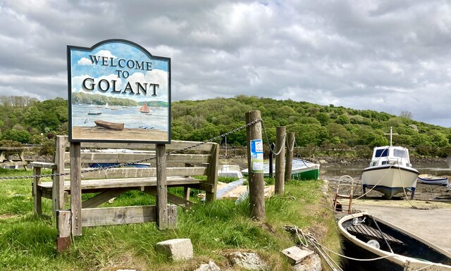
Golant
Golant (Cornish: Golnans) is a village in south Cornwall, England, United Kingdom. It is on the west bank of the River Fowey and in the civil parish of...
Mixtow
Mixtow is a hamlet in the Lanteglos-by-Fowey parish in south east Cornwall, England. It is located on the north side of an inlet off the River Fowey, opposite...
Nearby Amenities
Located within 500m of 50.354341,-4.6398897Have you been to Bodmin Pill?
Leave your review of Bodmin Pill below (or comments, questions and feedback).