Swallows' Hole
Sea, Estuary, Creek in Pembrokeshire
Wales
Swallows' Hole
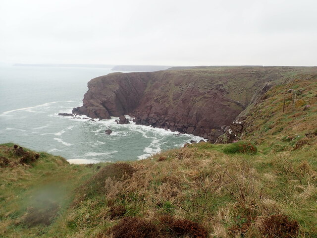
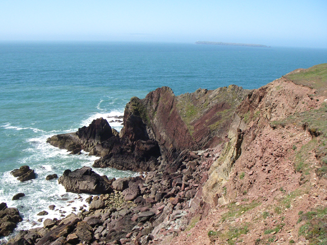
![Little Castle Point Atlantic surf breaking over rocks at the foot of cliffs at Little Castle Point. Out to sea is the island of Skokholm with the white lighthouse just visible at the left [SW] end.](https://s0.geograph.org.uk/geophotos/03/76/25/3762592_e7711935.jpg)
Swallows' Hole is a picturesque natural formation located in Pembrokeshire, Wales. Nestled between the towns of Tenby and Saundersfoot, this unique site is a popular destination for both locals and tourists seeking to immerse themselves in the beauty of nature.
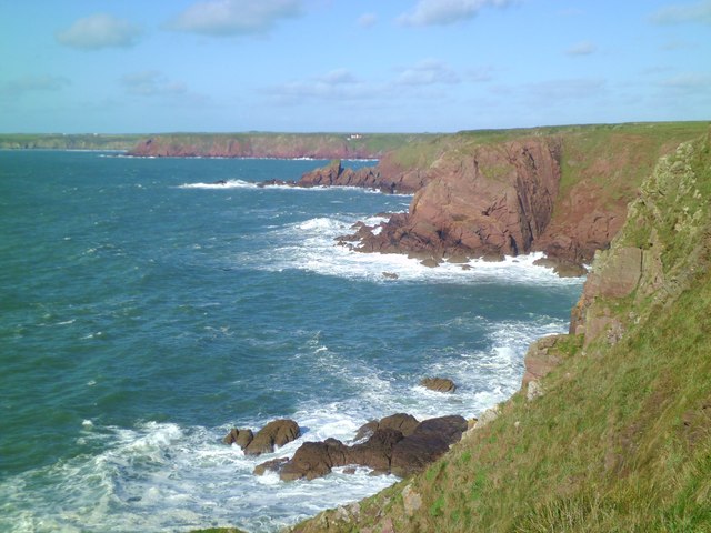
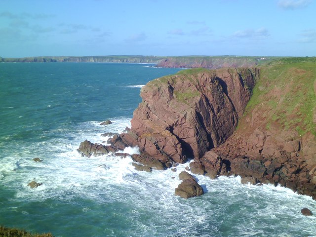
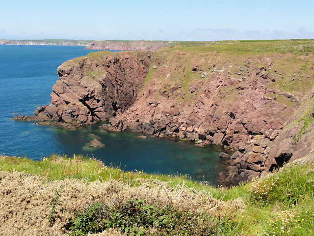
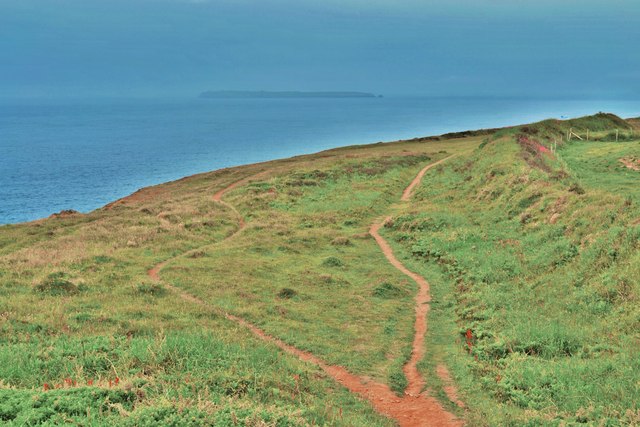
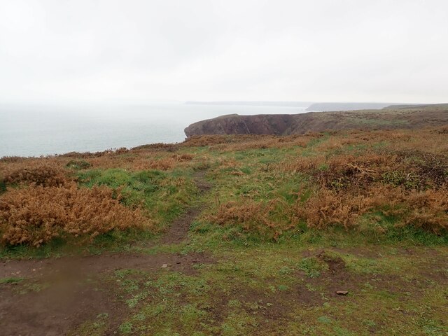
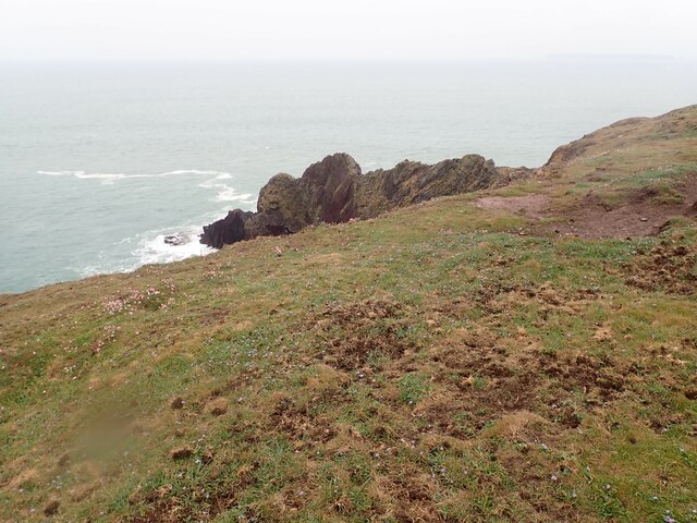
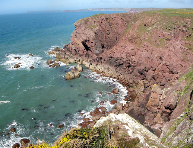
Swallows' Hole is primarily known for its stunning sea views and tranquil estuary. This picturesque spot offers visitors the opportunity to witness the meeting point of the sea and the creek, creating a breathtaking blend of blues and greens that stretch as far as the eye can see. The estuary itself is a haven for various bird species, making it an ideal location for birdwatchers and nature enthusiasts.
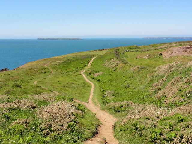
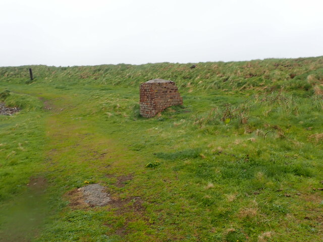
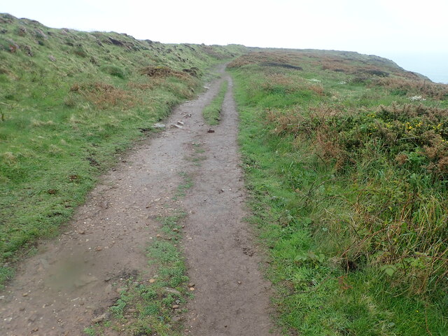
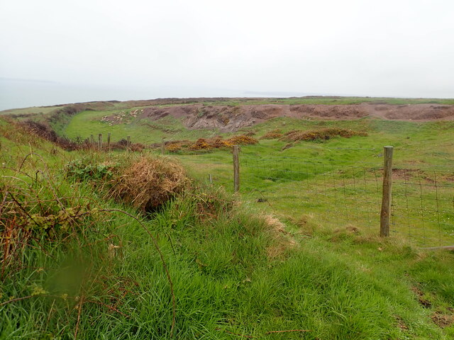
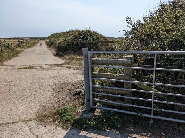
Access to Swallows' Hole is relatively easy, with a well-maintained path leading down to the shore. The site is also home to some unique geological features, including towering cliffs that provide a dramatic backdrop to the picturesque scenery. The area is surrounded by lush vegetation, adding to its natural charm.
Visitors to Swallows' Hole can enjoy a range of activities, including swimming, fishing, and picnicking. The clear waters are ideal for a refreshing dip, while fishermen can cast their lines in hopes of catching a variety of fish species that inhabit the creek.
Overall, Swallows' Hole offers a serene escape from the hustle and bustle of everyday life. Whether you are seeking a tranquil spot to relax or an opportunity to explore the beauty of nature, this hidden gem in Pembrokeshire is sure to leave a lasting impression.
If you have any feedback on the listing, please let us know in the comments section below.
Swallows' Hole Images
Images are sourced within 2km of 51.682829/-5.1706975 or Grid Reference SM8002. Thanks to Geograph Open Source API. All images are credited.


Swallows' Hole is located at Grid Ref: SM8002 (Lat: 51.682829, Lng: -5.1706975)
Unitary Authority: Pembrokeshire
Police Authority: Dyfed Powys
What 3 Words
///realm.reheat.instructs. Near Dale, Pembrokeshire
Nearby Locations
Related Wikis

St Ann's Head Lighthouse
St. Ann's Head Lighthouse is a lighthouse that overlooks the entrance to the Milford Haven waterway, one of Britain's deep water harbours, from St. Ann...

Sea Empress oil spill
The Sea Empress oil spill occurred at the entrance to the Milford Haven Waterway in Pembrokeshire, Wales on 16 February 1996. The Sea Empress was en route...
MV Sea Empress
The MV Sea Empress was a single-hull Suezmax oil tanker that ran aground at the entrance to the Milford Haven harbour on the southwest coast of Wales in...

West Blockhouse Fort
West Blockhouse Fort is a mid-19th century coastal artillery fort at West Blockhouse Point, a rocky headland near Dale, Pembrokeshire, to the west of Milford...
Nearby Amenities
Located within 500m of 51.682829,-5.1706975Have you been to Swallows' Hole?
Leave your review of Swallows' Hole below (or comments, questions and feedback).