Cobbler's Hole
Sea, Estuary, Creek in Pembrokeshire
Wales
Cobbler's Hole
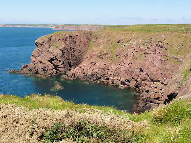
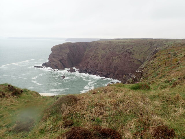
![Little Castle Point Atlantic surf breaking over rocks at the foot of cliffs at Little Castle Point. Out to sea is the island of Skokholm with the white lighthouse just visible at the left [SW] end.](https://s0.geograph.org.uk/geophotos/03/76/25/3762592_e7711935.jpg)
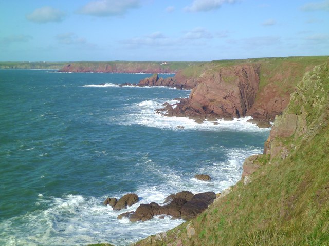
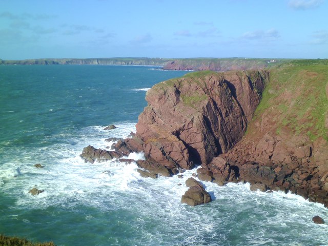
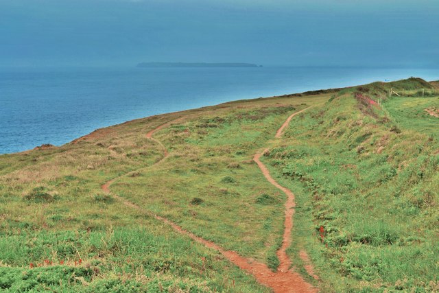
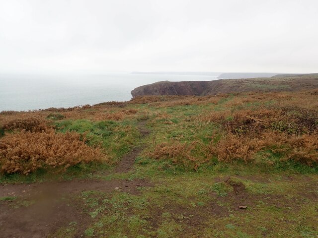
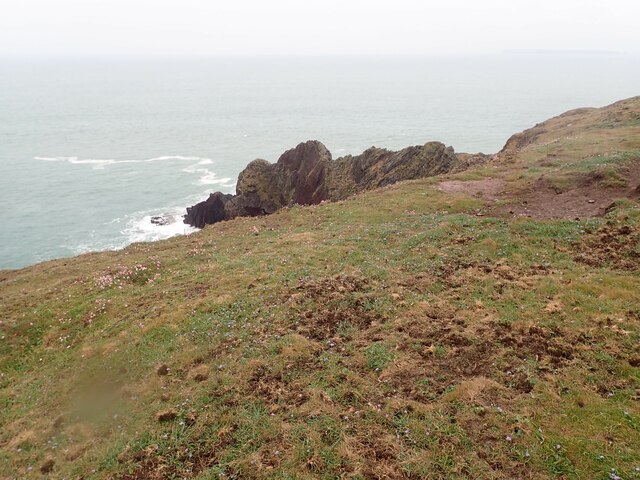
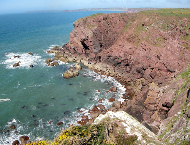
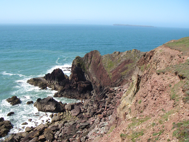
Cobbler's Hole is a picturesque and idyllic location situated in the county of Pembrokeshire, Wales. It is a small bay surrounded by rugged cliffs and is renowned for its stunning natural beauty.
Nestled between the larger towns of Tenby and Saundersfoot, Cobbler's Hole is a popular destination for both locals and tourists seeking tranquility and scenic views. The bay is primarily characterized by a sandy beach which extends out into the sea and is bordered by rocky outcrops. At low tide, the beach expands, revealing a vast expanse of golden sand, perfect for leisurely walks and sunbathing.
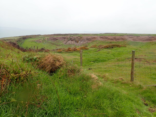
The bay is also home to an estuary and a creek, adding further interest to the landscape. The estuary provides a sheltered habitat for a wide variety of marine life, including fish, crabs, and various species of birds. The creek, which flows into the estuary, is a haven for nature enthusiasts, who can explore its meandering path and observe the diverse flora and fauna that inhabit its banks.
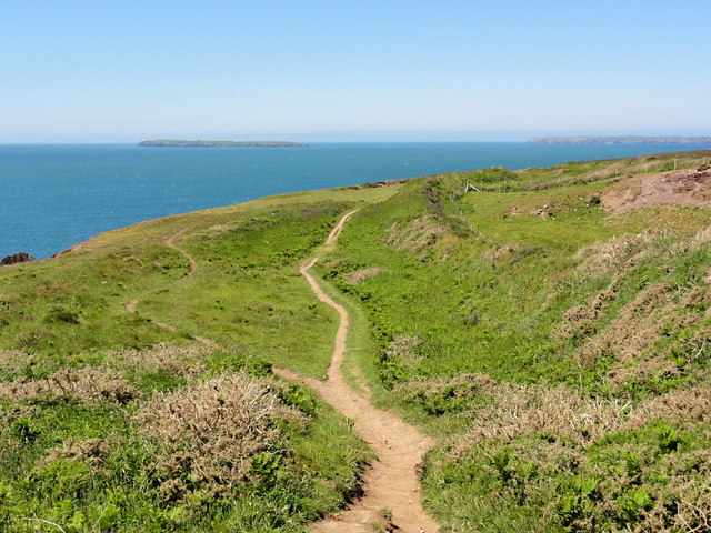
Cobbler's Hole offers visitors a range of recreational activities. The calm waters are ideal for swimming and kayaking, while the surrounding cliffs provide excellent opportunities for hiking and rock climbing. The bay is also a popular spot for fishing, with anglers trying their luck at catching mackerel, bass, and other species found in the area.
Overall, Cobbler's Hole is a hidden gem on the Pembrokeshire coastline, offering a captivating blend of natural beauty, diverse wildlife, and recreational opportunities. It is a place where visitors can escape the hustle and bustle of everyday life and immerse themselves in the tranquility of nature.
If you have any feedback on the listing, please let us know in the comments section below.
Cobbler's Hole Images
Images are sourced within 2km of 51.680947/-5.1767585 or Grid Reference SM8002. Thanks to Geograph Open Source API. All images are credited.


Cobbler's Hole is located at Grid Ref: SM8002 (Lat: 51.680947, Lng: -5.1767585)
Unitary Authority: Pembrokeshire
Police Authority: Dyfed Powys
What 3 Words
///torso.survivor.absorbing. Near Dale, Pembrokeshire
Nearby Locations
Related Wikis

Sea Empress oil spill
The Sea Empress oil spill occurred at the entrance to the Milford Haven Waterway in Pembrokeshire, Wales on 15th February 1996. The Sea Empress was en...

St Ann's Head Lighthouse
St. Ann's Head Lighthouse is a lighthouse that overlooks the entrance to the Milford Haven Waterway, one of Britain's deep water harbours, from St. Ann...
MV Sea Empress
The MV Sea Empress was a single-hull Suezmax oil tanker that ran aground at the entrance to the Milford Haven harbour on the southwest coast of Wales in...
HMS Harrier (shore establishment)
HMS Harrier was a shore establishment of the Royal Navy, located at Kete, Pembrokeshire. It was commissioned on 1 February 1948 and was the home of the...
Nearby Amenities
Located within 500m of 51.680947,-5.1767585Have you been to Cobbler's Hole?
Leave your review of Cobbler's Hole below (or comments, questions and feedback).