Herring Stone
Island in Pembrokeshire
Wales
Herring Stone
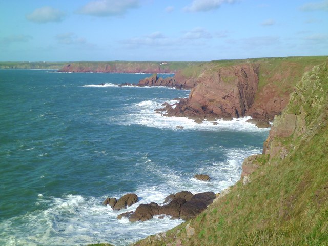
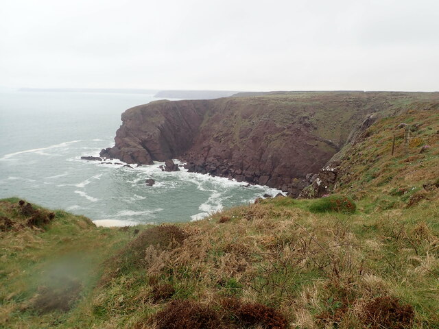
![Little Castle Point Atlantic surf breaking over rocks at the foot of cliffs at Little Castle Point. Out to sea is the island of Skokholm with the white lighthouse just visible at the left [SW] end.](https://s0.geograph.org.uk/geophotos/03/76/25/3762592_e7711935.jpg)
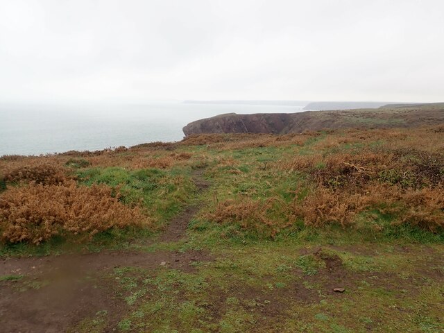
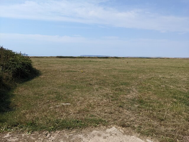
Herring Stone is a small island located off the coast of Pembrokeshire, Wales. It is situated in the Irish Sea, approximately 1.5 miles southwest of St. David's Head. The island covers an area of about 0.3 hectares and is privately owned.
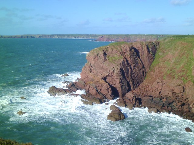
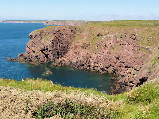
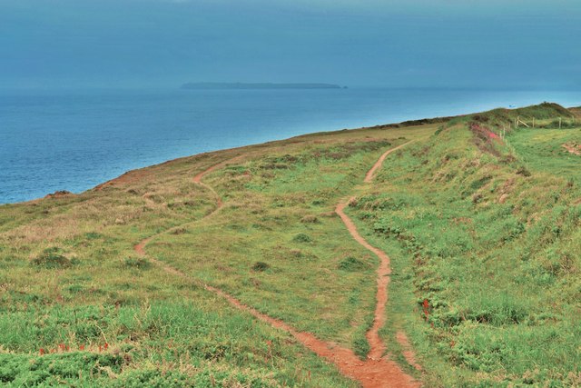
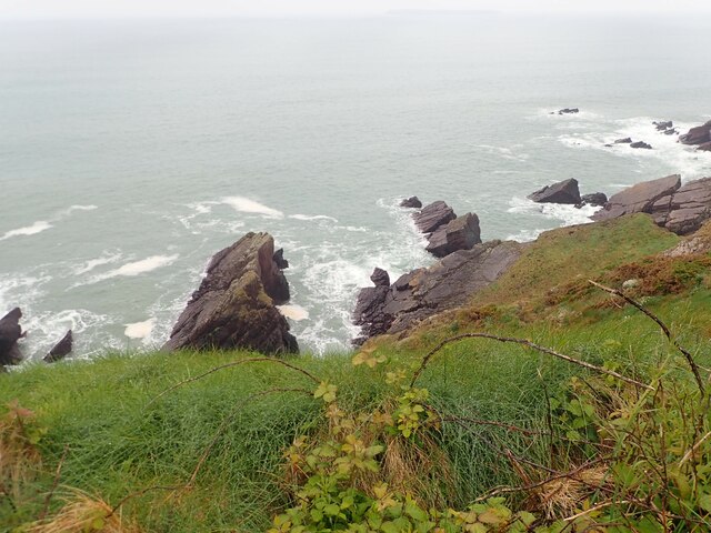
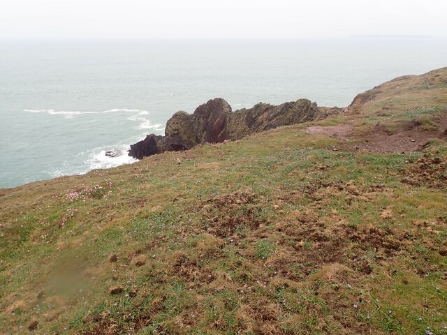
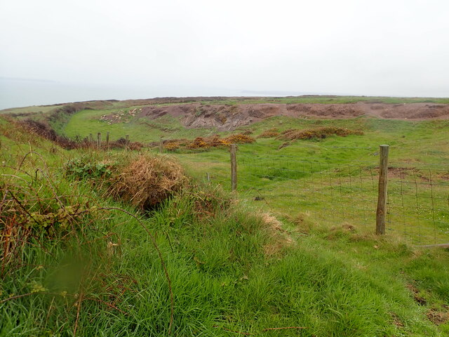
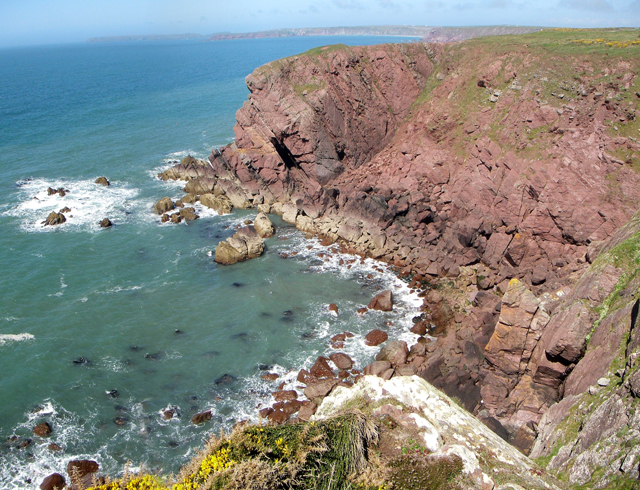
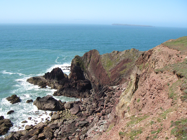
The island is predominantly rocky and rugged, with steep cliffs rising up to 30 meters above sea level. Its name derives from a distinctive herring-shaped rock formation that can be seen on its western side. The island is uninhabited and lacks any permanent structures or facilities.
Herring Stone is a popular destination for birdwatchers and wildlife enthusiasts. It serves as a nesting site for a variety of seabirds, including razorbills, guillemots, and kittiwakes. The surrounding waters are also home to seals, dolphins, and porpoises, making it an ideal spot for marine life observation.
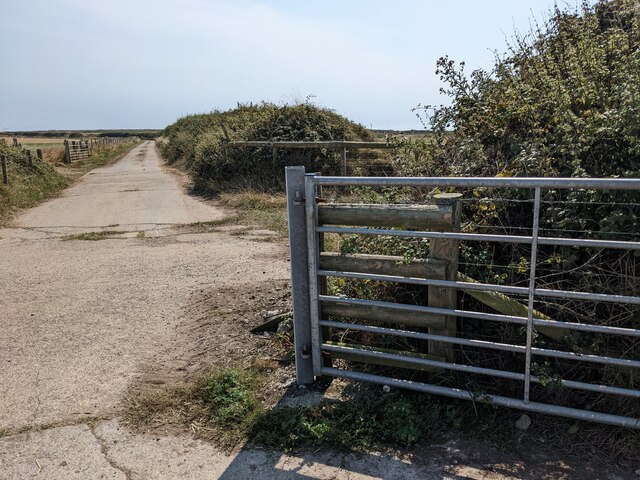
Access to Herring Stone is limited, as it is not open to the public. However, boat tours and wildlife cruises are available from nearby St. David's, allowing visitors to view the island from a distance and observe the diverse wildlife that inhabits the area.
Overall, Herring Stone is a picturesque and ecologically significant island off the coast of Pembrokeshire. Its natural beauty and abundant wildlife make it a noteworthy destination for nature enthusiasts and those seeking a unique coastal experience.
If you have any feedback on the listing, please let us know in the comments section below.
Herring Stone Images
Images are sourced within 2km of 51.681331/-5.1768722 or Grid Reference SM8002. Thanks to Geograph Open Source API. All images are credited.
Herring Stone is located at Grid Ref: SM8002 (Lat: 51.681331, Lng: -5.1768722)
Unitary Authority: Pembrokeshire
Police Authority: Dyfed Powys
What 3 Words
///cello.traders.handbags. Near Dale, Pembrokeshire
Nearby Locations
Related Wikis

Sea Empress oil spill
The Sea Empress oil spill occurred at the entrance to the Milford Haven Waterway in Pembrokeshire, Wales on 16 February 1996. The Sea Empress was en route...

St Ann's Head Lighthouse
St. Ann's Head Lighthouse is a lighthouse that overlooks the entrance to the Milford Haven waterway, one of Britain's deep water harbours, from St. Ann...
MV Sea Empress
The MV Sea Empress was a single-hull Suezmax oil tanker that ran aground at the entrance to the Milford Haven harbour on the southwest coast of Wales in...
HMS Harrier (shore establishment)
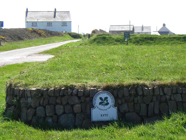
HMS Harrier was a shore establishment of the Royal Navy, located at Kete, Pembrokeshire. It was commissioned on 1 February 1948 and was the home of the...
Nearby Amenities
Located within 500m of 51.681331,-5.1768722Have you been to Herring Stone?
Leave your review of Herring Stone below (or comments, questions and feedback).