St Ann's Head
Coastal Feature, Headland, Point in Pembrokeshire
Wales
St Ann's Head
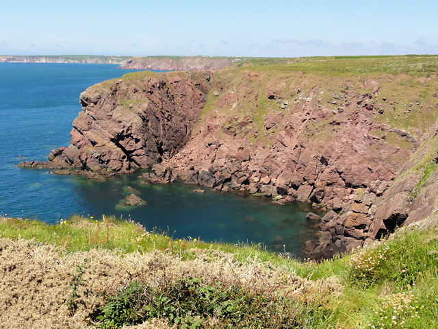
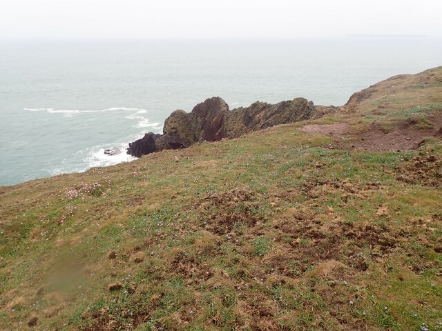
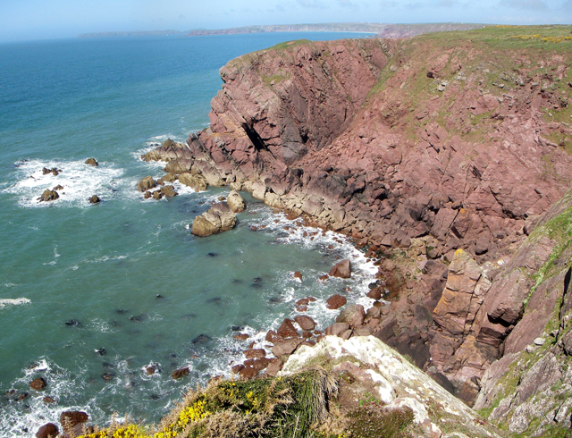
![Little Castle Point Atlantic surf breaking over rocks at the foot of cliffs at Little Castle Point. Out to sea is the island of Skokholm with the white lighthouse just visible at the left [SW] end.](https://s0.geograph.org.uk/geophotos/03/76/25/3762592_e7711935.jpg)
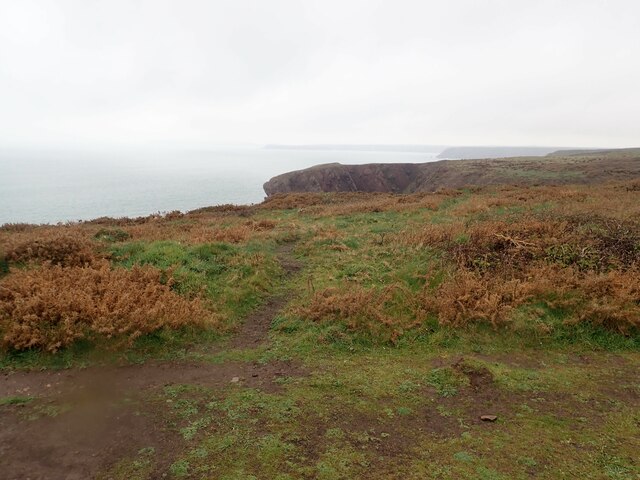
St Ann's Head is a prominent headland located on the western coast of Pembrokeshire, Wales, overlooking the Atlantic Ocean. This coastal feature is situated approximately 5 miles south of the town of Dale, and it marks the southern entrance to Milford Haven, one of the largest natural harbors in the world.
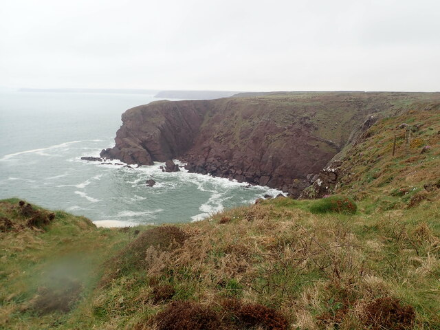
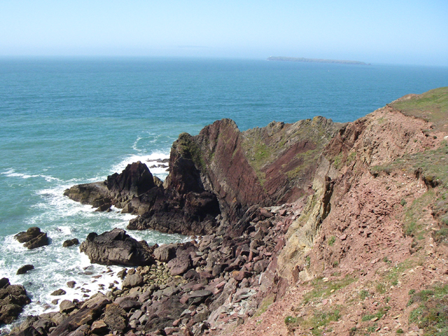
Rising to a height of around 150 feet (46 meters), St Ann's Head offers stunning panoramic views of the surrounding coastline and the nearby Skokholm and Skomer Islands. The headland is characterized by its rugged cliffs, which are formed from a combination of sandstone and shale, and are home to a variety of seabirds, including guillemots and kittiwakes.
At the tip of St Ann's Head stands the iconic St Ann's Lighthouse, which was first established in 1714 and has since been replaced by a more modern structure in 1844. The lighthouse, which is still in operation, serves as an important navigational aid for ships entering and exiting Milford Haven.
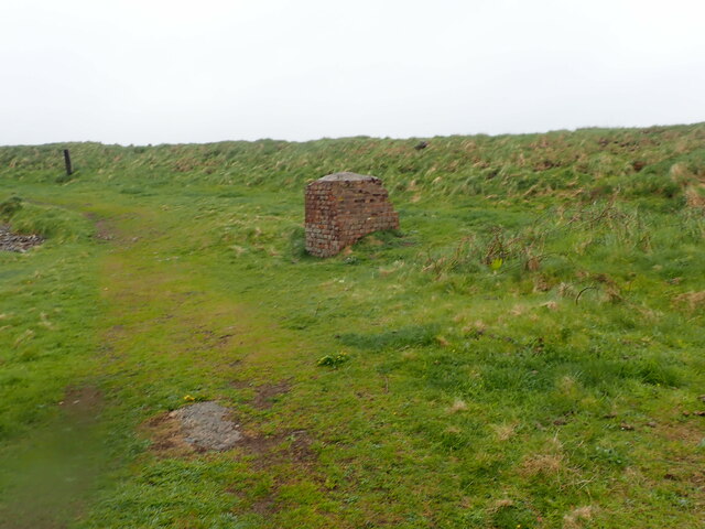
The headland is also home to a number of historical landmarks, including the remains of a World War II coastal defense battery, which was built to protect the harbor from potential enemy attacks. Today, these ruins provide a fascinating insight into the region's military history.
St Ann's Head is a popular destination for nature lovers, hikers, and history enthusiasts who are drawn to its natural beauty, wildlife, and historical significance. It offers a unique opportunity to experience the rugged beauty of the Pembrokeshire coast while soaking in the rich heritage of the area.
If you have any feedback on the listing, please let us know in the comments section below.
St Ann's Head Images
Images are sourced within 2km of 51.68248/-5.1736392 or Grid Reference SM8002. Thanks to Geograph Open Source API. All images are credited.


St Ann's Head is located at Grid Ref: SM8002 (Lat: 51.68248, Lng: -5.1736392)
Unitary Authority: Pembrokeshire
Police Authority: Dyfed Powys
What 3 Words
///wacky.essays.sheds. Near Dale, Pembrokeshire
Nearby Locations
Related Wikis

St Ann's Head Lighthouse
St. Ann's Head Lighthouse is a lighthouse that overlooks the entrance to the Milford Haven waterway, one of Britain's deep water harbours, from St. Ann...

Sea Empress oil spill
The Sea Empress oil spill occurred at the entrance to the Milford Haven Waterway in Pembrokeshire, Wales on 16 February 1996. The Sea Empress was en route...
MV Sea Empress
The MV Sea Empress was a single-hull Suezmax oil tanker that ran aground at the entrance to the Milford Haven harbour on the southwest coast of Wales in...
HMS Harrier (shore establishment)
HMS Harrier was a shore establishment of the Royal Navy, located at Kete, Pembrokeshire. It was commissioned on 1 February 1948 and was the home of the...
Nearby Amenities
Located within 500m of 51.68248,-5.1736392Have you been to St Ann's Head?
Leave your review of St Ann's Head below (or comments, questions and feedback).