Ogof Mŵn

Sea, Estuary, Creek in Pembrokeshire

Wales

Ogof Mŵn

Memorial Hall Memorial Hall in Upper Solva.
Memorial Hall Credit: Alan Hughes

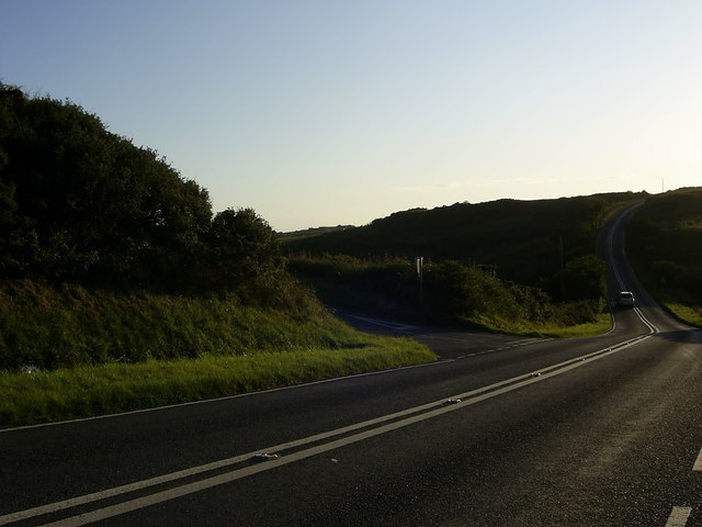
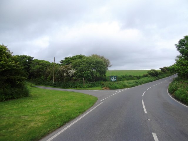
Ogof Mŵn is a picturesque coastal area located in Pembrokeshire, Wales. It is known for its stunning sea views, estuary, and creek, making it a popular destination for nature lovers and outdoor enthusiasts.

The main attraction of Ogof Mŵn is its beautiful sea, which stretches out into the horizon, providing a mesmerizing backdrop for visitors. The sea is often adorned with sailboats and fishing vessels, adding to the charm of the area. The crashing waves create a soothing sound that lulls visitors into a state of tranquility.

Adjacent to the sea is the estuary, a body of water where the river meets the sea. The estuary at Ogof Mŵn is teeming with diverse flora and fauna, making it a haven for birdwatchers and wildlife enthusiasts. Visitors can spot various species of birds, including herons, egrets, and kingfishers, which migrate to the area during different seasons.

The creek at Ogof Mŵn is a smaller body of water that meanders through the landscape. It is surrounded by lush vegetation and provides a serene environment for those seeking a peaceful retreat. The creek is perfect for leisurely walks, picnics, and even canoeing.

Overall, Ogof Mŵn offers a breathtaking blend of sea, estuary, and creek, making it a paradise for nature enthusiasts. Its scenic beauty and diverse wildlife make it a must-visit destination for anyone seeking a serene and natural escape.

If you have any feedback on the listing, please let us know in the comments section below.

Ogof Mŵn Images

Images are sourced within 2km of 51.872688/-5.2259087 or Grid Reference SM7824. Thanks to Geograph Open Source API. All images are credited.

Memorial Hall Memorial Hall in Upper Solva.
Memorial Hall
Memorial Hall in Upper Solva.
View out of Solva harbour
Road junction near St.David's A road junction, just within the grid square, with the A487 road leading to St.David's. The minor road on the left leads to Trelerw and Caer Bwdy Bay.
Road junction near St.David's
A road junction, just within the grid square, with the A487 road leading to St.David's. The minor road on the left leads to Trelerw and Caer Bwdy Bay.
Porth y rhaw Porth y Rhaw at sunset on New Year's Day 2012
Porth y rhaw
Porth y Rhaw at sunset on New Year's Day 2012
Ocean Haze Fuel Station
Pont Clegyr
Pont Clegyr
Concrete Block Building beside the A487 OS Map indicates a covered reservoir here
Concrete Block Building beside the A487
OS Map indicates a covered reservoir here
Entering Nine Wells
Entering Nine Wells
Junction for Llanungar-fach Caravan Park
A487 at Llanungar turn
A487 at Nine Wells village boundary
A487 at Fachelich turn
A487 at St David's city boundary
Solva Harbour From The Gribin, at low tide.
Solva Harbour
From The Gribin, at low tide.
St Aidans Church, Upper Solva
Ordnance Survey Flush Bracket 11512 This can be found on the wall of St Aidans Church.
For more detail see : <span class="nowrap"><a title="http://www.bench-marks.org.uk/bm22527" rel="nofollow ugc noopener" href="http://www.bench-marks.org.uk/bm22527">Link</a><img style="margin-left:2px;" alt="External link" title="External link - shift click to open in new window" src="https://s1.geograph.org.uk/img/external.png" width="10" height="10"/></span>
Ordnance Survey Flush Bracket 11512
This can be found on the wall of St Aidans Church. For more detail see : LinkExternal link
Ordnance Survey Cut Mark This can be found on the porch of St Aidans Church.
For more detail see : <span class="nowrap"><a title="http://www.bench-marks.org.uk/bm48759" rel="nofollow ugc noopener" href="http://www.bench-marks.org.uk/bm48759">Link</a><img style="margin-left:2px;" alt="External link" title="External link - shift click to open in new window" src="https://s1.geograph.org.uk/img/external.png" width="10" height="10"/></span>
Ordnance Survey Cut Mark
This can be found on the porch of St Aidans Church. For more detail see : LinkExternal link
Wreck and cliffs near Solva For the remains of the vessel years later, see <a href="https://www.geograph.org.uk/photo/3765269">SM7824 : Something interesting on the beach</a>.
Wreck and cliffs near Solva
For the remains of the vessel years later, see SM7824 : Something interesting on the beach.
Show me another place!

Ogof Mŵn is located at Grid Ref: SM7824 (Lat: 51.872688, Lng: -5.2259087)

Unitary Authority: Pembrokeshire

Police Authority: Dyfed Powys

What 3 Words

///pans.swatting.saints. Near St Davids, Pembrokeshire

Related Wikis

Dwrhyd Pit

Dwrhyd Pit is a Site of Special Scientific Interest (or SSSI) in Pembrokeshire, South Wales. It has been designated as a Site of Special Scientific Interest...

RAF St Davids

Royal Air Force St Davids, or more simply RAF St Davids, is a former Royal Air Force station, near the city of St Davids, Pembrokeshire, Wales, in the...

Whitchurch, Pembrokeshire

Whitchurch (Welsh: Tregroes, lit. "Town of the Cross") is a small village and parish (Plwy'r Groes, lit. "Parish of the Cross") in north-western Pembrokeshire...

Caerfai Bay

Caerfai Bay is a rocky cove on the north coast of St Brides Bay near St Davids in Pembrokeshire, West Wales. It is enclosed by steep varicoloured cliffs...

Nearby Amenities

Located within 500m of 51.872688,-5.2259087
Source: OS_Opendata_Vectormap_District
Lat/Long: 51.8728601/-5.2304769
Source: OS_Opendata_Vectormap_District
Lat/Long: 51.8729022/-5.2305941
Source: OS_Opendata_Vectormap_District
Lat/Long: 51.8730095/-5.2308733
Source: OS_Opendata_Vectormap_District
Lat/Long: 51.8730426/-5.2308844
Source: OS_Opendata_Vectormap_District
Lat/Long: 51.873134/-5.2308839
Ogof Mwn
Natural: cave_entrance
Lat/Long: 51.8734263/-5.225596
Ogof y Ffos
Natural: cave_entrance
Lat/Long: 51.8732845/-5.2311593
Natural: cave_entrance
Lat/Long: 51.8731387/-5.2299898
The data included in this document is from www.openstreetmap.org. The data is made available under ODbL.

Have you been to Ogof Mŵn?

Leave your review of Ogof Mŵn below (or comments, questions and feedback).