Llanegryn

Settlement in Merionethshire

Wales

Llanegryn

View from A493 over the Dysynni Valley
View from A493 over the Dysynni Valley Credit: Richard Hoare

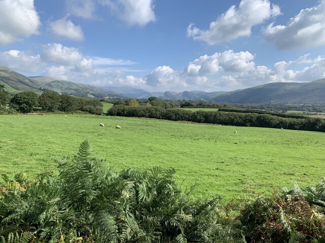
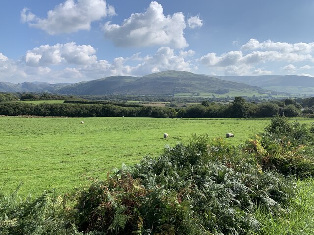
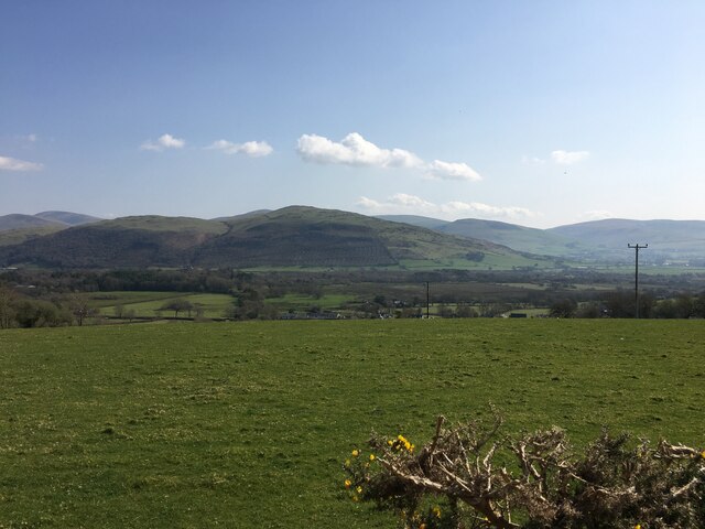
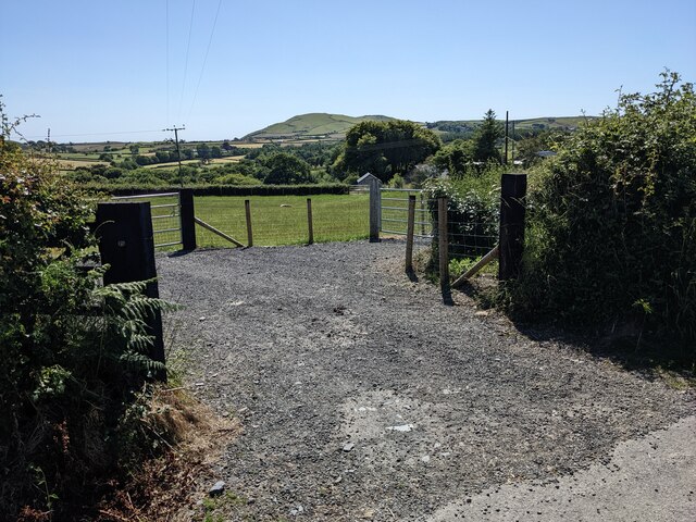
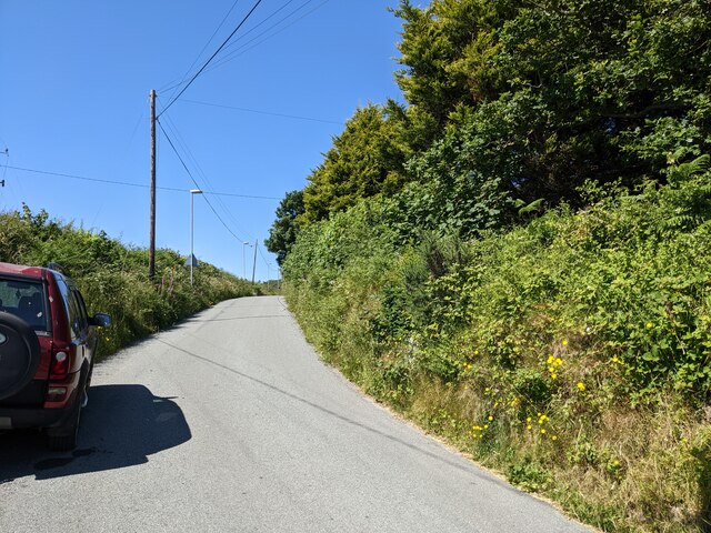
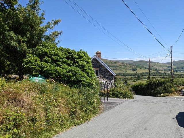
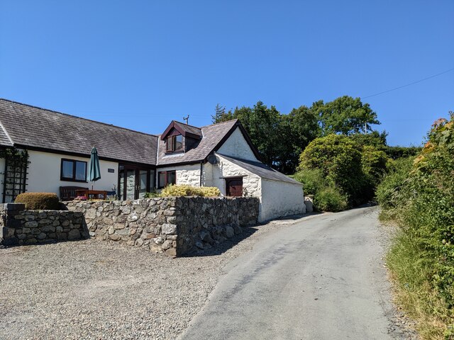
Llanegryn is a small village located in the historic county of Merionethshire, Wales. Nestled in the picturesque Dysynni Valley, it is situated approximately 7 miles northeast of Tywyn and 10 miles southwest of Dolgellau. Llanegryn is surrounded by rolling hills and offers breathtaking views of the nearby Cadair Idris mountain range.

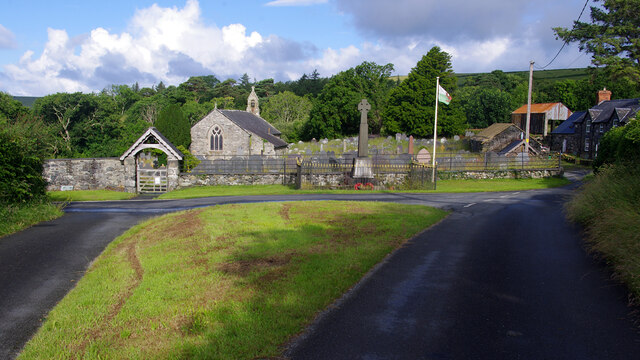
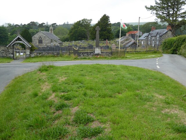
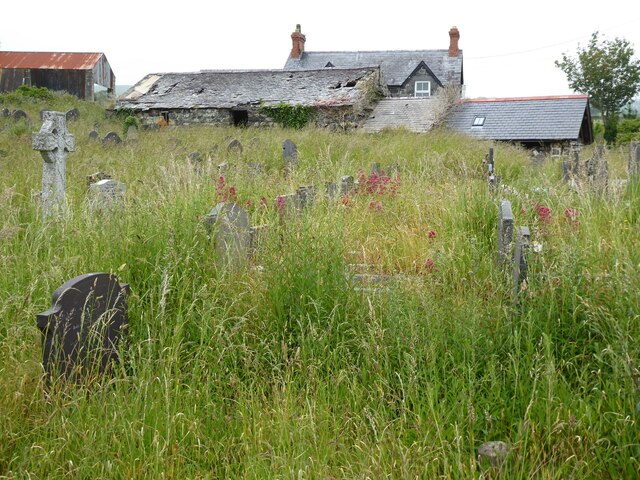
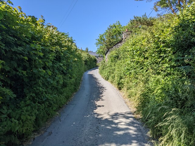
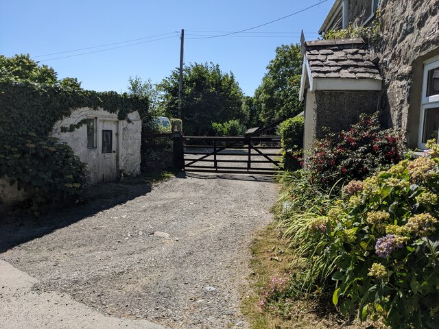
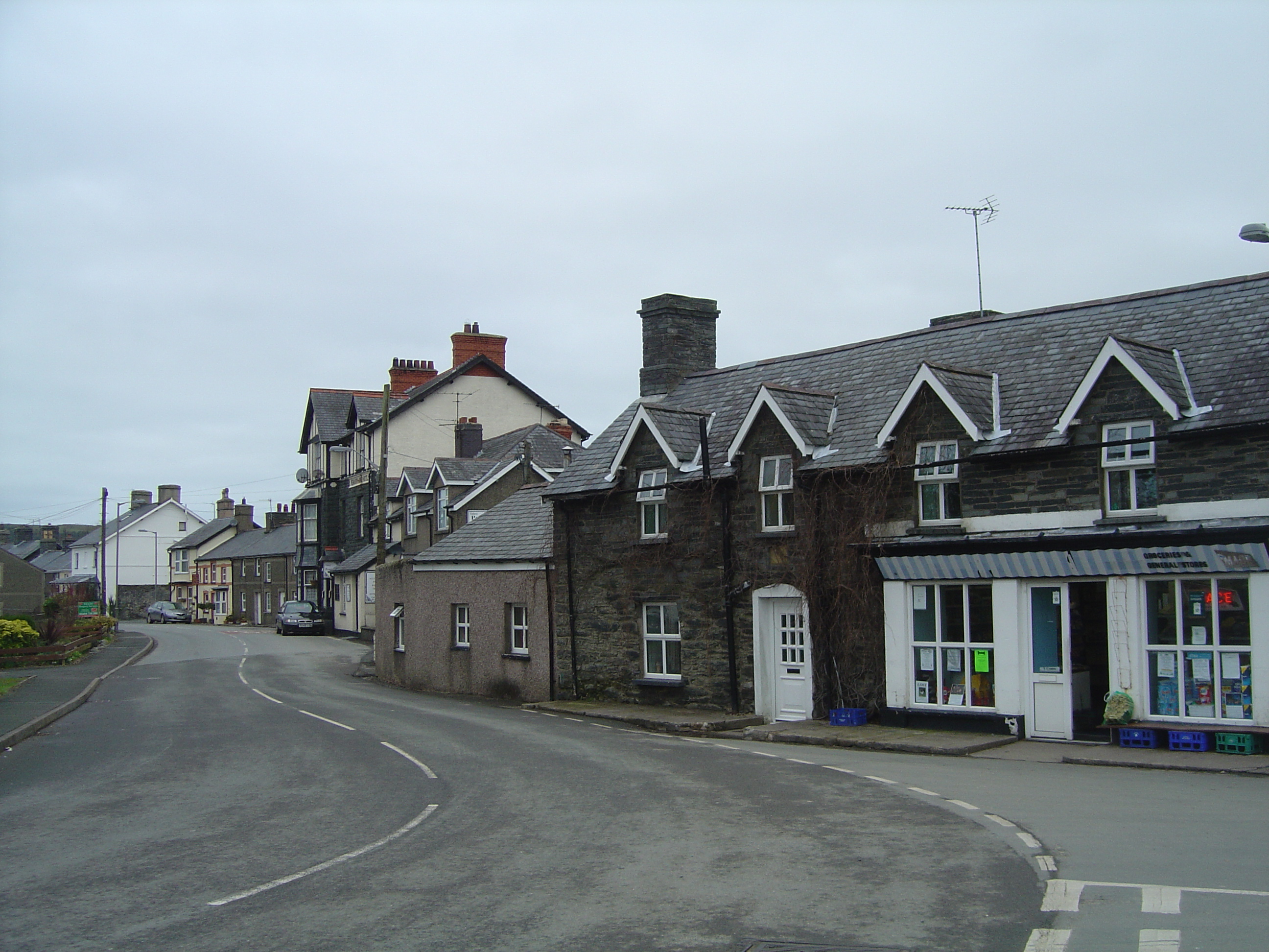
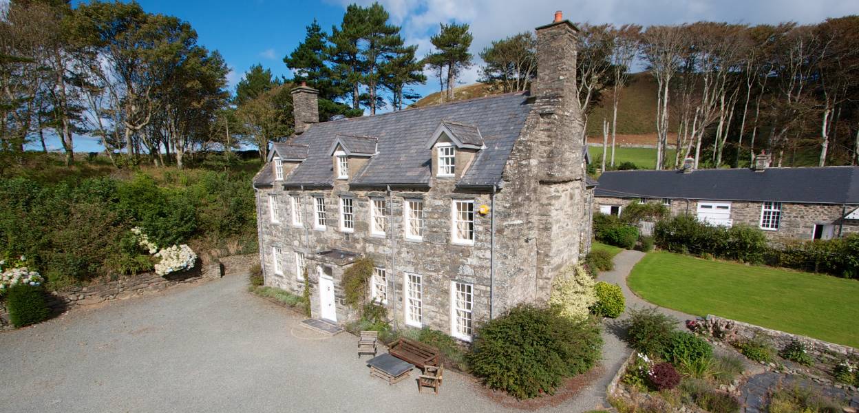
The village itself is home to a tight-knit community of around 300 residents. It features a charming collection of traditional stone cottages and houses, which add to its idyllic rural atmosphere. Llanegryn is known for its peaceful and tranquil environment, making it a popular destination for those seeking a quiet retreat from the bustling cities.

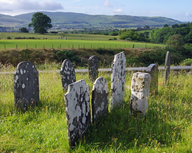
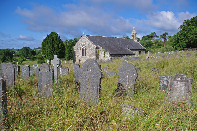
The village boasts a few amenities to cater to the local population, including a well-maintained parish church, St. Egryn's Church, which dates back to the 13th century. Additionally, there is a community center that hosts various events and gatherings throughout the year. Llanegryn also benefits from a primary school, providing education to the children of the village and surrounding areas.

For nature enthusiasts, Llanegryn offers access to stunning walks and hikes through its surrounding countryside. The nearby Dysynni River provides opportunities for fishing, while the nearby coastline offers beautiful sandy beaches and opportunities for water sports.

Overall, Llanegryn is a peaceful village that offers a serene escape into the Welsh countryside, with its breathtaking landscapes and traditional charm.

If you have any feedback on the listing, please let us know in the comments section below.
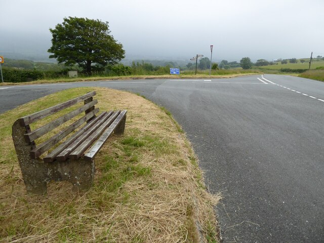
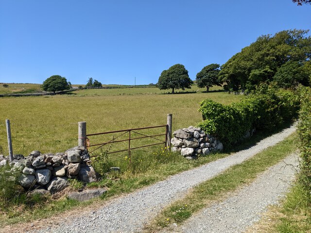
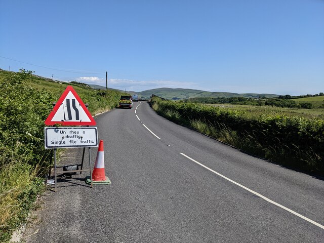
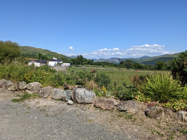
Llanegryn Images

Images are sourced within 2km of 52.628569/-4.068388 or Grid Reference SH6005. Thanks to Geograph Open Source API. All images are credited.

View from A493 over the Dysynni Valley
View from A493 across the Dysynni Valley
Farmland near Llanegryn
Llanegryn churchyard
SS Mary & Egryn's Church, Llanegryn Grade I Listed Building - #4729
SS Mary & Egryn's Church, Llanegryn
Grade I Listed Building - #4729
SS Mary & Egryn's Church, Llanegryn Church - Grade I Listed Building - #4729
Lych gate - Grade II Listed Building - #4730 
War memorial also visible
SS Mary & Egryn's Church, Llanegryn
Church - Grade I Listed Building - #4729 Lych gate - Grade II Listed Building - #4730 War memorial also visible
Llanegryn church SS Mary & Egryn's Church in Llanegryn.  The church is Grade I listed, see: <span class="nowrap"><a title="https://coflein.gov.uk/en/site/43890?term=Mary%20%26%20Egryn%27s%20Church%2C" rel="nofollow ugc noopener" href="https://coflein.gov.uk/en/site/43890?term=Mary%20%26%20Egryn%27s%20Church%2C">Link</a><img style="margin-left:2px;" alt="External link" title="External link - shift click to open in new window" src="https://s1.geograph.org.uk/img/external.png" width="10" height="10"/></span>
Llanegryn church
SS Mary & Egryn's Church in Llanegryn. The church is Grade I listed, see: LinkExternal link
Farm buildings, Llanegryn Farm buildings viewed from Llanegryn churchyard.
Farm buildings, Llanegryn
Farm buildings viewed from Llanegryn churchyard.
Seat beside the A493 Seat beside the A493 on a junction with a minor road to Llanegryn.
Seat beside the A493
Seat beside the A493 on a junction with a minor road to Llanegryn.
The lane to Trefaes
The lane to Trefaes
Roadworks on the A493
Roadside rocks near Bryn-Eglwys
A gateway in Llwyn-y-fynwent
The country lane near Llwyn-y-fynwent
The road junction above Llanegryn
High hedges near Plas-corniog
Plas-corniog near Llanegryn
House and gate near Llanegryn
Show me another place!

Llanegryn is located at Grid Ref: SH6005 (Lat: 52.628569, Lng: -4.068388)

Unitary Authority: Gwynedd

Police Authority: North Wales

What 3 Words

///spans.confusion.chuckle. Near Tywyn, Gwynedd

Related Wikis

Llanegryn

Llanegryn is a village and a community in Gwynedd, north-west Wales. It was formerly part of the historic county of Merionethshire (Welsh: Meirionnydd...

Ysgol Craig y Deryn

Ysgol Craig y Deryn is a Welsh-medium primary school in Llanegryn in Gwynedd. == General == The school is named after Craig yr Aderyn, a notable hill on...

Peniarth

Peniarth is a village in the community of Meifod, Powys, Wales. It is 87.1 miles (140.2 km) from Cardiff and 156.9 miles (252.5 km) from London. It is...

Afon Fathew

The Afon Fathew (English: River Mathew/Fathew) is a river in Gwynedd, north-west Wales. The river is downstream from the Dolgoch Falls which is a popular...

Bryncrug

Bryncrug (), sometimes spelt Bryn-crug, is a village and community in Gwynedd, Wales. Afon Fathew flows through the village and into the River Dysynni...

Ynysymaengwyn

Ynysymaengwyn was a gentry house in the parish of Tywyn, Gwynedd (formerly Merioneth), situated near the left bank of the River Dysynni. The name means...

Llangelynnin, Gwynedd

Llangelynnin (; also Llangelynin) is a small village and community near Tywyn, Gwynedd, Wales. Although the village is usually known as Llangelynnin in...

Llanfendigaid Estate

Llanfendigaid Estate, located on the Cardigan Bay coast of southern Gwynedd (formerly Merioneth: Welsh: Meirionnydd, Sir Feirionydd), near Tywyn in north...

Nearby Amenities

Located within 500m of 52.628569,-4.068388
Llanegryn
Is In: Gwynedd,Wales,UK
Name Cy: Llanegryn
Name En: Llanegryn
Place: hamlet
Source: npe
Wikidata: Q13129617
Lat/Long: 52.6279906/-4.0693832
Noexit: yes
Lat/Long: 52.6279462/-4.0698768
Glanymorfa Mawr
Name Cy: Glanymorfa Mawr
Place: farm
Lat/Long: 52.6256113/-4.066553
Power: substation
Lat/Long: 52.626262/-4.072711
Toilets
Lat/Long: 52.6284023/-4.0681187
Leisure: playground
Lat/Long: 52.6285173/-4.0708878
Noexit: yes
Lat/Long: 52.6269605/-4.071852
Public Bookcase
Booth: K6
Disused Amenity: telephone
Man Made: telephone_box
Public Bookcase Type: phone_box
Lat/Long: 52.6281376/-4.0693307
Shelter
Shelter Type: public_transport
Lat/Long: 52.6276841/-4.070358
Post Box
Post Box Type: lamp
Lat/Long: 52.6276569/-4.0703942
Direction: SSE
Generator Method: photovoltaic
Generator Output Electricity: yes
Generator Solar Modules: 15
Generator Source: solar
Generator Type: solar_photovoltaic_panel
Location: roof
Power: generator
Lat/Long: 52.6266193/-4.0717945
Direction: S
Generator Method: photovoltaic
Generator Output Electricity: yes
Generator Solar Modules: 4
Generator Source: solar
Generator Type: solar_photovoltaic_panel
Location: roof
Power: generator
Lat/Long: 52.6268309/-4.0706277
Direction: E
Generator Method: photovoltaic
Generator Output Electricity: yes
Generator Solar Modules: 8
Generator Source: solar
Generator Type: solar_photovoltaic_panel
Location: roof
Power: generator
Lat/Long: 52.6268659/-4.0705928
Direction: W
Generator Method: photovoltaic
Generator Output Electricity: yes
Generator Solar Modules: 8
Generator Source: solar
Generator Type: solar_photovoltaic_panel
Location: roof
Power: generator
Lat/Long: 52.6268684/-4.0706612
Direction: SW
Generator Method: photovoltaic
Generator Output Electricity: yes
Generator Solar Modules: 4
Generator Source: solar
Generator Type: solar_photovoltaic_panel
Location: roof
Power: generator
Lat/Long: 52.6268696/-4.071258
Direction: 145
Generator Method: photovoltaic
Generator Output Electricity: yes
Generator Solar Modules: 13
Generator Source: solar
Generator Type: solar_photovoltaic_panel
Location: roof
Power: generator
Lat/Long: 52.6294896/-4.0661082
Direction: 145
Generator Method: photovoltaic
Generator Output Electricity: yes
Generator Solar Modules: 12
Generator Source: solar
Generator Type: solar_photovoltaic_panel
Location: roof
Power: generator
Lat/Long: 52.6291884/-4.0668967
Direction: 170
Generator Method: photovoltaic
Generator Output Electricity: yes
Generator Solar Modules: 12
Generator Source: solar
Generator Type: solar_photovoltaic_panel
Location: roof
Power: generator
Lat/Long: 52.6288839/-4.0685302
Direction: 170
Generator Method: photovoltaic
Generator Output Electricity: yes
Generator Solar Modules: 16
Generator Source: solar
Generator Type: solar_photovoltaic_panel
Location: roof
Power: generator
Lat/Long: 52.6286576/-4.0695334
Direction: SSE
Generator Method: photovoltaic
Generator Output Electricity: yes
Generator Solar Modules: 15
Generator Source: solar
Generator Type: solar_photovoltaic_panel
Location: roof
Power: generator
Lat/Long: 52.6282579/-4.068557
Direction: SSW
Generator Method: photovoltaic
Generator Output Electricity: yes
Generator Solar Modules: 16
Generator Source: solar
Generator Type: solar_photovoltaic_panel
Location: roof
Power: generator
Lat/Long: 52.6263889/-4.074366
The data included in this document is from www.openstreetmap.org. The data is made available under ODbL.

Have you been to Llanegryn?

Leave your review of Llanegryn below (or comments, questions and feedback).