Coed y Llŵyn
Wood, Forest in Merionethshire
Wales
Coed y Llŵyn
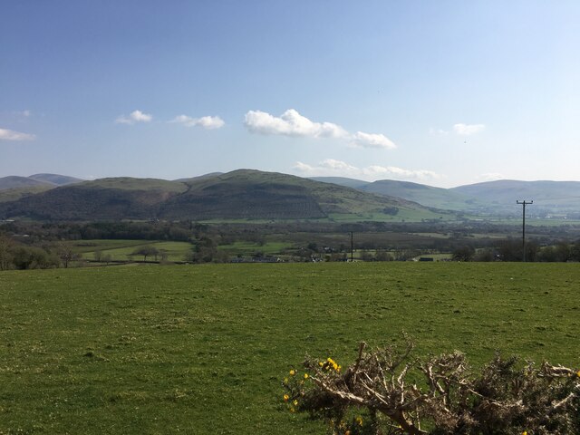
Coed y Llŵyn, located in Merionethshire, is a picturesque woodland area known for its natural beauty and diverse wildlife. Situated in the heart of Snowdonia National Park, this ancient forest covers an extensive area and offers visitors a tranquil escape into nature.
The woodland is predominantly composed of native broadleaf trees such as oak, beech, and birch, which create a dense canopy that filters sunlight and provides a cool, shaded environment. The forest floor is adorned with a rich carpet of ferns, mosses, and wildflowers, adding to the enchanting atmosphere.
Coed y Llŵyn is home to a wide range of wildlife, making it a popular spot for nature enthusiasts and birdwatchers. Visitors may spot various bird species, including woodpeckers, red kites, and buzzards, soaring through the treetops. The forest is also inhabited by mammals such as badgers, foxes, and deer, which can occasionally be seen grazing or foraging in the undergrowth.
Tranquil walking trails wind through the woodland, offering visitors the chance to explore its natural wonders at their own pace. The paths are well-maintained and suitable for all levels of fitness, making it an ideal destination for families and avid hikers alike. Along the way, there are several viewpoints that provide stunning vistas of the surrounding countryside and mountain ranges.
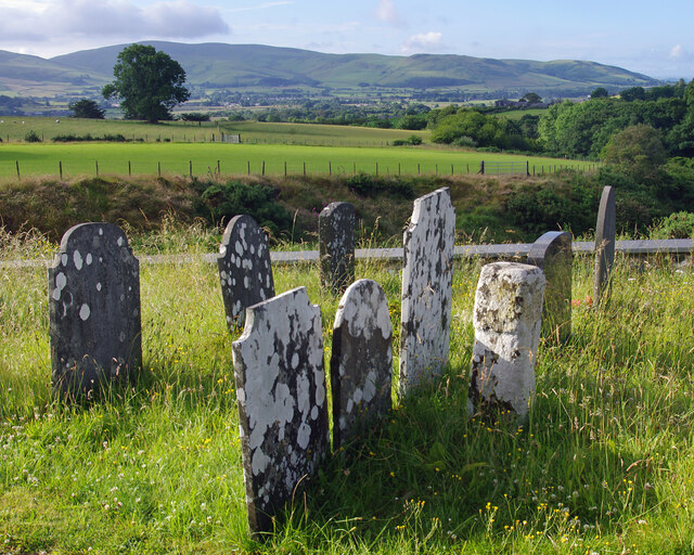
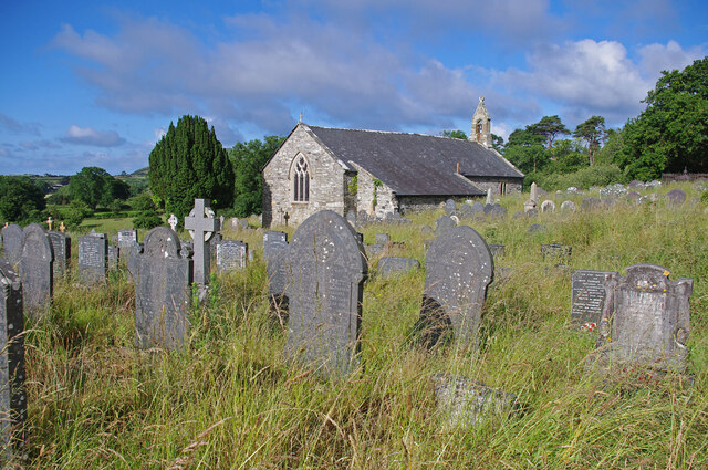
Coed y Llŵyn is not only a haven for wildlife but also a place of historical significance. The woodland is dotted with ancient ruins and archaeological sites, including remnants of old settlements and burial mounds, which offer a glimpse into the area's rich past.
Overall, Coed y Llŵyn is a captivating woodland that offers a serene retreat for nature lovers, providing a perfect blend of natural beauty, wildlife, and historical intrigue.
If you have any feedback on the listing, please let us know in the comments section below.
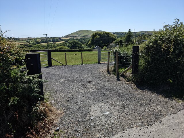
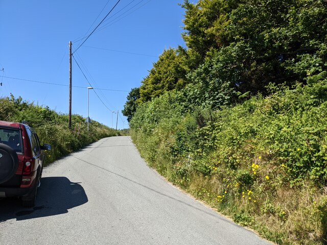
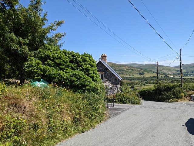
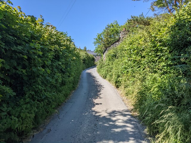
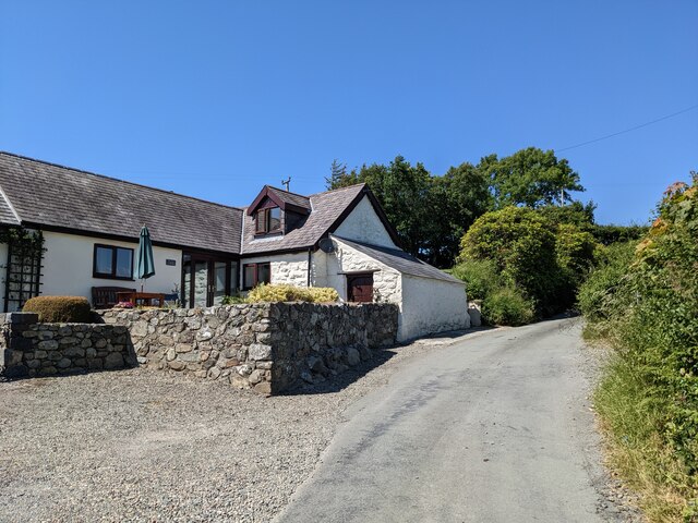
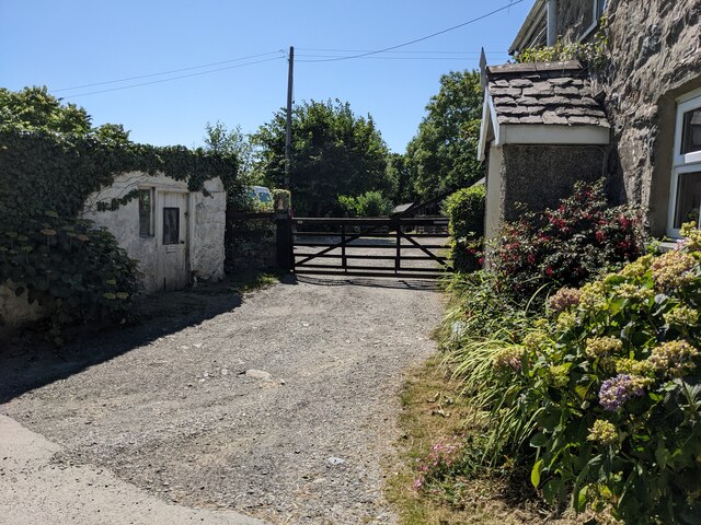
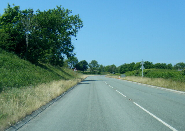
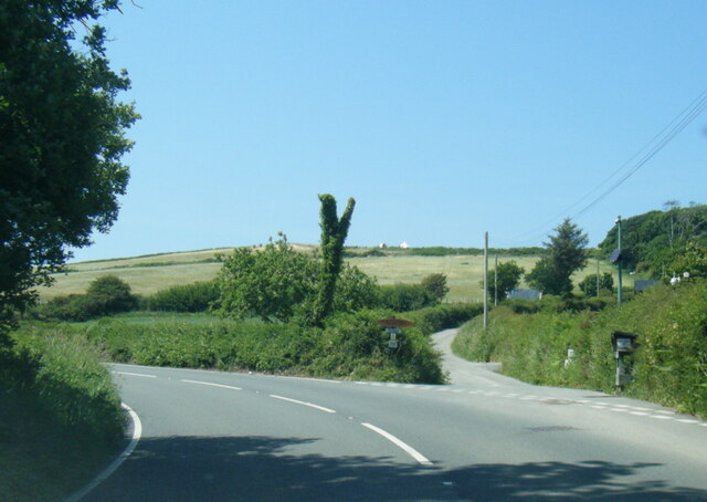
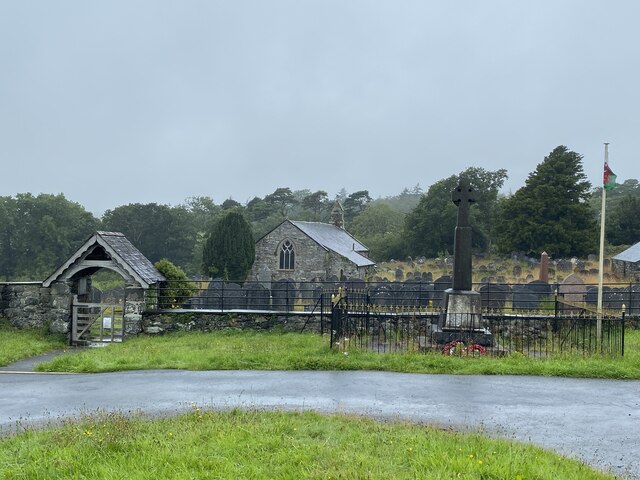
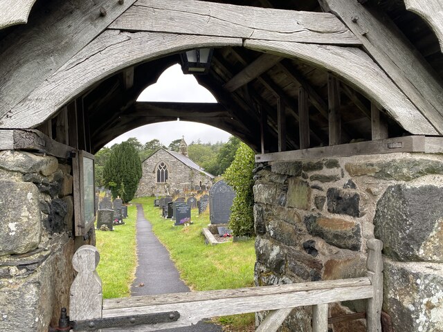
Coed y Llŵyn Images
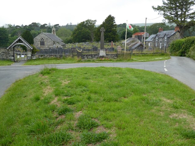
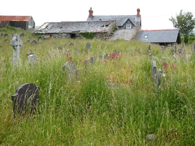
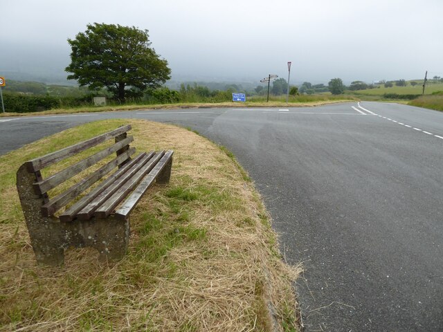
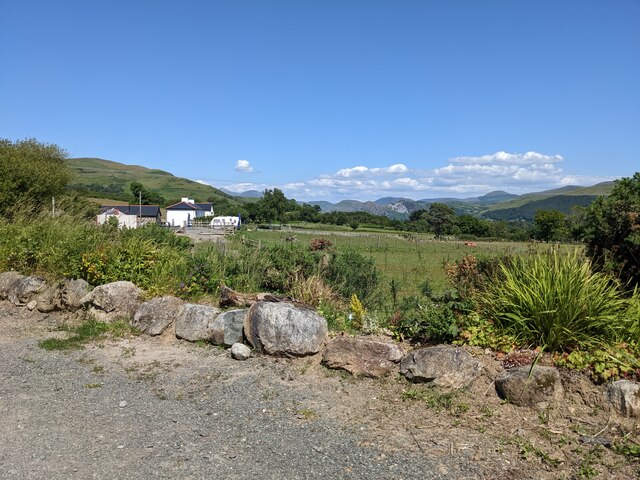
Images are sourced within 2km of 52.633143/-4.0630525 or Grid Reference SH6005. Thanks to Geograph Open Source API. All images are credited.
Coed y Llŵyn is located at Grid Ref: SH6005 (Lat: 52.633143, Lng: -4.0630525)
Unitary Authority: Gwynedd
Police Authority: North Wales
What 3 Words
///awoke.scorpions.charge. Near Tywyn, Gwynedd
Nearby Locations
Related Wikis

Llanegryn
Llanegryn is a village and a community in Gwynedd, north-west Wales. It was formerly part of the historic county of Merionethshire (Welsh: Meirionnydd...

Peniarth
Peniarth is a village in the community of Meifod, Powys, Wales. It is 87.1 miles (140.2 km) from Cardiff and 156.9 miles (252.5 km) from London. It is...
Ysgol Craig y Deryn
Ysgol Craig y Deryn is a Welsh-medium primary school in Llanegryn in Gwynedd. == General == The school is named after Craig yr Aderyn, a notable hill on...

Afon Fathew
The Afon Fathew (English: River Mathew/Fathew) is a river in Gwynedd, north-west Wales. The river is downstream from the Dolgoch Falls which is a popular...
Nearby Amenities
Located within 500m of 52.633143,-4.0630525Have you been to Coed y Llŵyn?
Leave your review of Coed y Llŵyn below (or comments, questions and feedback).