Port na Bailbhe
Sea, Estuary, Creek in Argyllshire
Scotland
Port na Bailbhe
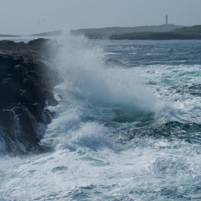
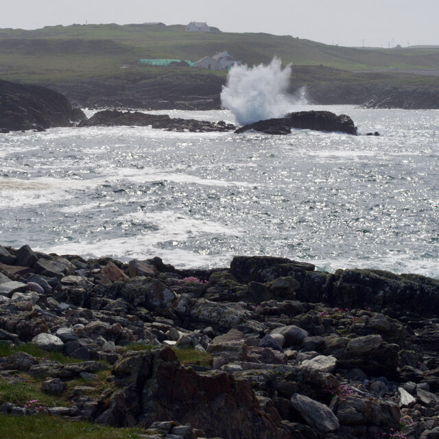
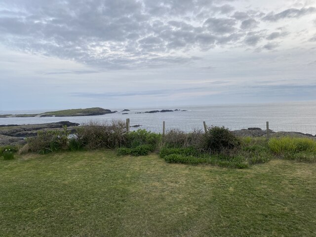
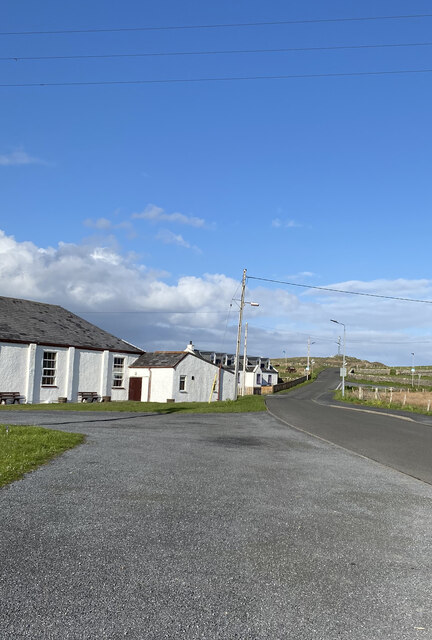
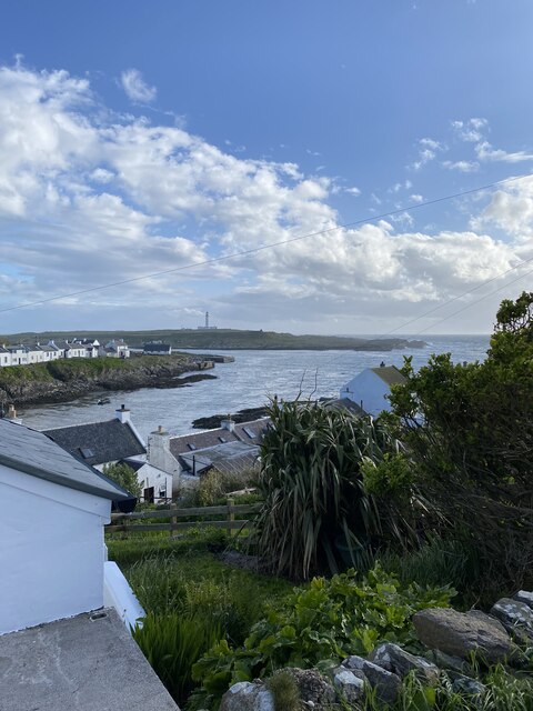
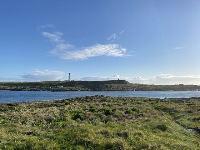
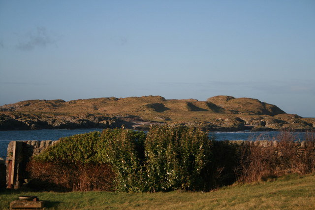
Port na Bailbhe, located in Argyllshire, Scotland, is a picturesque coastal area encompassing a sea, estuary, and creek. Situated on the western coast of the country, it offers breathtaking views and a diverse range of natural features.
The sea at Port na Bailbhe is part of the Atlantic Ocean, characterized by its deep blue waters and powerful waves. It is known for its pristine beauty, attracting locals and tourists alike. The sea provides ample opportunities for water sports enthusiasts, such as surfing, sailing, and fishing.
Adjacent to the sea is an estuary, where a river meets the sea, creating a unique blend of fresh and saltwater. This estuarine ecosystem is rich in biodiversity, supporting a variety of plant and animal species. It serves as a crucial habitat for migratory birds and is a favorite spot for birdwatchers.
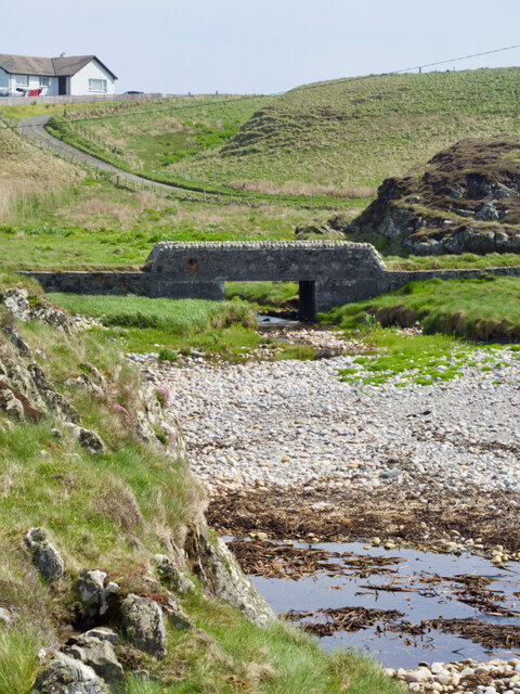
Within the vicinity of Port na Bailbhe lies a peaceful creek. Surrounded by lush greenery and towering cliffs, this serene water body offers a tranquil environment for relaxation and exploration. The creek is often frequented by kayakers and canoeists, who navigate its calm waters while enjoying the stunning natural scenery.
Port na Bailbhe is a haven for nature lovers, providing a harmonious blend of sea, estuary, and creek landscapes. Its beauty and ecological significance make it a sought-after destination for those seeking a glimpse of Scotland's diverse natural wonders. Whether it's exploring the sea, observing wildlife in the estuary, or immersing oneself in the tranquility of the creek, this coastal area offers a truly unforgettable experience.
If you have any feedback on the listing, please let us know in the comments section below.
Port na Bailbhe Images
Images are sourced within 2km of 55.689586/-6.5186716 or Grid Reference NR1653. Thanks to Geograph Open Source API. All images are credited.
Port na Bailbhe is located at Grid Ref: NR1653 (Lat: 55.689586, Lng: -6.5186716)
Unitary Authority: Argyll and Bute
Police Authority: Argyll and West Dunbartonshire
What 3 Words
///revision.mavericks.hobbies. Near Portnahaven, Argyll & Bute
Related Wikis
Islay LIMPET
Islay LIMPET was the world's first commercial wave power device and was connected to the United Kingdom's National Grid. == History == Islay LIMPET (Land...
Eilean Mhic Coinnich
Eilean Mhic Coinnich, also known as Mackenzie Island (although recorded on the Land Register as McKenseys Island), is an uninhabited island of 17.3 hectares...
Portnahaven
Portnahaven (Scottish Gaelic: Port na h-Abhainne, meaning river port) is a village on Islay in the Inner Hebrides, Scotland. The village is within the...
Orsay, Inner Hebrides
Orsay (Scottish Gaelic: Orasaigh) is a small island in the Inner Hebrides of Scotland. It lies a short distance off the west coast of the island of Islay...
Nearby Amenities
Located within 500m of 55.689586,-6.5186716Have you been to Port na Bailbhe?
Leave your review of Port na Bailbhe below (or comments, questions and feedback).
