Eilean Bearnach
Island in Argyllshire
Scotland
Eilean Bearnach
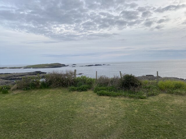
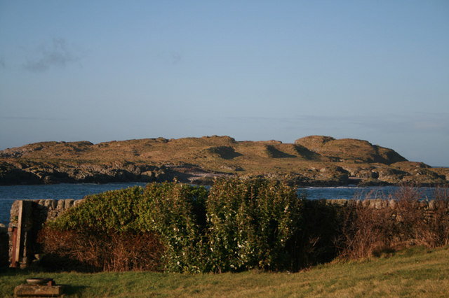
Eilean Bearnach is a small island located in Argyllshire, Scotland. Situated in the Inner Hebrides, it is part of a group of islands known as the Garvellachs. The island is approximately 1.5 miles in length and has an irregular shape, with rugged cliffs and rocky terrain.
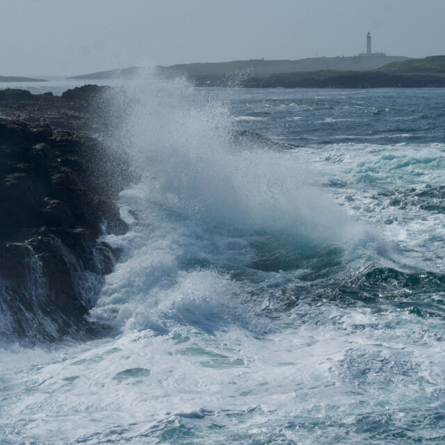
The name "Eilean Bearnach" translates to "gapped island" in Gaelic, which accurately describes its distinctive geography. The island is characterized by its numerous caves and sea arches, formed by years of erosion from the powerful Atlantic Ocean. These natural features make Eilean Bearnach a popular destination for adventurers and nature enthusiasts.
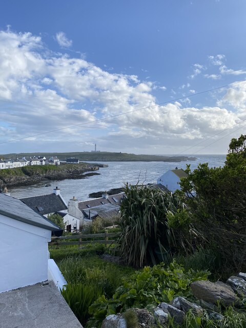
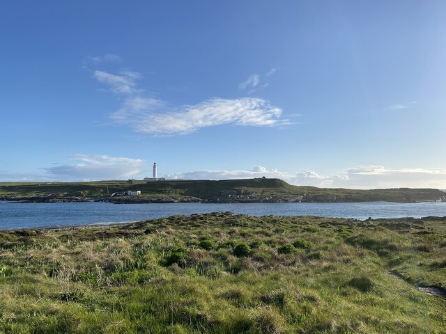
The island has a rich history, dating back many centuries. It was once home to a small monastic community, and the ruins of an ancient chapel can still be seen today. Eilean Bearnach also played a significant role in maritime navigation. Over the years, several lighthouses were erected on the island to guide ships through the treacherous waters surrounding the Garvellachs.
Today, Eilean Bearnach remains uninhabited, serving as a sanctuary for various bird species, including puffins and guillemots. The surrounding waters are teeming with marine life, making it a popular spot for diving and snorkeling. Visitors can explore the island's rugged coastline, marvel at its unique geological formations, and enjoy the tranquility of this remote and untouched natural environment.
Access to Eilean Bearnach is typically by boat, with regular ferry services available from nearby ports. Due to its isolated location, visitors are advised to come prepared with appropriate equipment, as there are no facilities or services on the island itself.
If you have any feedback on the listing, please let us know in the comments section below.
Eilean Bearnach Images
Images are sourced within 2km of 55.688287/-6.5170724 or Grid Reference NR1653. Thanks to Geograph Open Source API. All images are credited.
Eilean Bearnach is located at Grid Ref: NR1653 (Lat: 55.688287, Lng: -6.5170724)
Unitary Authority: Argyll and Bute
Police Authority: Argyll and West Dunbartonshire
What 3 Words
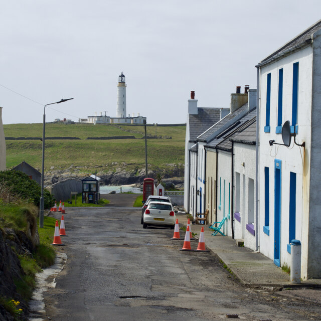
///petrified.weddings.repeating. Near Portnahaven, Argyll & Bute
Related Wikis
Islay LIMPET
Islay LIMPET was the world's first commercial wave power device and was connected to the United Kingdom's National Grid. == History == Islay LIMPET (Land...
Eilean Mhic Coinnich
Eilean Mhic Coinnich, also known as Mackenzie Island (although recorded on the Land Register as McKenseys Island), is an uninhabited island of 17.3 hectares...
Portnahaven
Portnahaven (Scottish Gaelic: Port na h-Abhainne, meaning river port) is a village on Islay in the Inner Hebrides, Scotland. The village is within the...
Orsay, Inner Hebrides
Orsay (Scottish Gaelic: Orasaigh) is a small island in the Inner Hebrides of Scotland. It lies a short distance off the west coast of the island of Islay...
Nearby Amenities
Located within 500m of 55.688287,-6.5170724Have you been to Eilean Bearnach?
Leave your review of Eilean Bearnach below (or comments, questions and feedback).
