Strom Bàn
Sea, Estuary, Creek in Inverness-shire
Scotland
Strom Bàn
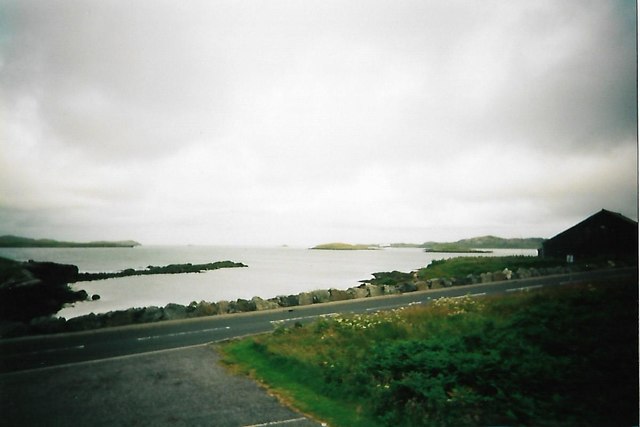
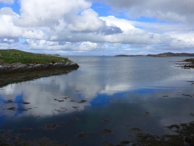
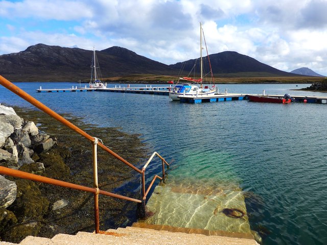
Strom Bàn is a small coastal village located in Inverness-shire, Scotland. Situated on the eastern shore of Loch Linnhe, it offers stunning views of the sea, estuary, and creek. The village is surrounded by picturesque landscapes, with rugged hills and mountains in the distance, creating a serene and tranquil atmosphere.
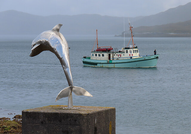
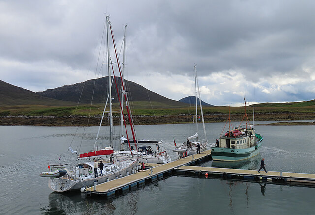
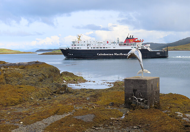
The sea in Strom Bàn is known for its crystal-clear waters and is a popular spot for various water activities such as sailing, kayaking, and fishing. The coastal area is also home to a diverse range of marine life, making it an excellent location for wildlife enthusiasts and nature lovers.
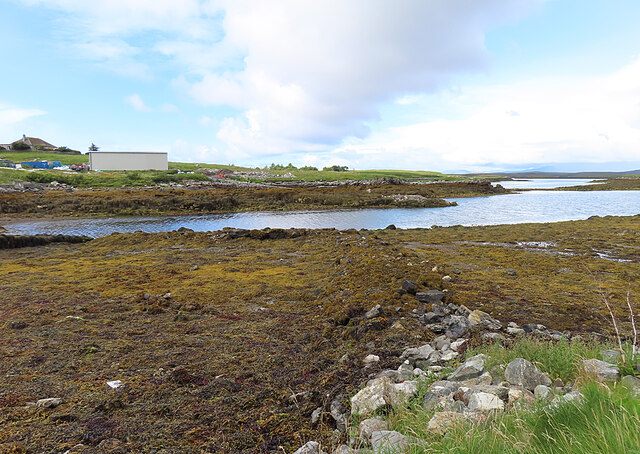
The estuary in Strom Bàn is formed by the convergence of several rivers, creating a unique ecosystem where freshwater and saltwater mix. This creates a rich environment for a variety of plant and animal species. Visitors can enjoy leisurely walks along the estuary, observing the abundant birdlife, including herons and wading birds.
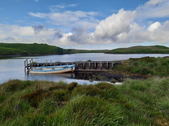
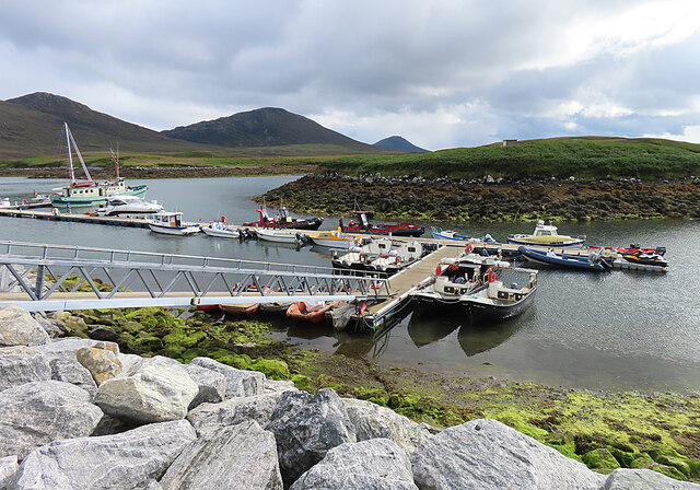
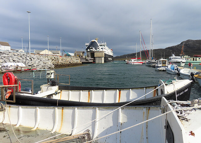
A creek, located near the village, adds to the charm of Strom Bàn. The creek offers a sheltered area for boats and is a hub for local fishermen. It provides an opportunity to witness traditional fishing methods and perhaps even catch a glimpse of seals or otters that inhabit the area.
In addition to its natural beauty, Strom Bàn boasts a close-knit community and a warm and welcoming atmosphere. The village has a few local shops and amenities, ensuring that residents and visitors have access to necessary goods and services.
Overall, Strom Bàn in Inverness-shire is a hidden gem on the Scottish coastline, offering breathtaking views of the sea, estuary, and creek, and providing a peaceful retreat for those seeking tranquility amidst nature's wonders.
If you have any feedback on the listing, please let us know in the comments section below.
Strom Bàn Images
Images are sourced within 2km of 57.596247/-7.1651916 or Grid Reference NF9168. Thanks to Geograph Open Source API. All images are credited.


Strom Bàn is located at Grid Ref: NF9168 (Lat: 57.596247, Lng: -7.1651916)
Unitary Authority: Na h-Eileanan an Iar
Police Authority: Highlands and Islands
What 3 Words
///streamers.nowadays.clues. Near Lochmaddy, Na h-Eileanan Siar
Nearby Locations
Related Wikis

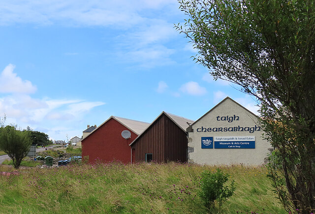
Taigh Chearsabhagh
Taigh Chearsabhagh is an arts centre and museum in Lochmaddy on the island of North Uist, Scotland.Taigh Chearsabhagh was built in 1741 and originally...

Lochmaddy
Lochmaddy (Scottish Gaelic: Loch nam Madadh [l̪ˠɔx nə ˈmat̪əɣ], "Loch of the Hounds") is the administrative centre of North Uist in the Outer Hebrides...

Ceallasaigh Beag
Ceallasaigh Beag (or Keallasay Beg) is a low-lying island in Loch Maddy off North Uist in the Outer Hebrides of Scotland. This an area of shallow lagoons...

Weavers Point
Weavers Point (Scottish Gaelic: Rubha an Fhigheadair) is a headland to the north of the entrance to Loch Maddy, on the north eastern coastline of North...
Nearby Amenities
Located within 500m of 57.596247,-7.1651916Have you been to Strom Bàn?
Leave your review of Strom Bàn below (or comments, questions and feedback).