Ob nan Stearnain
Sea, Estuary, Creek in Inverness-shire
Scotland
Ob nan Stearnain
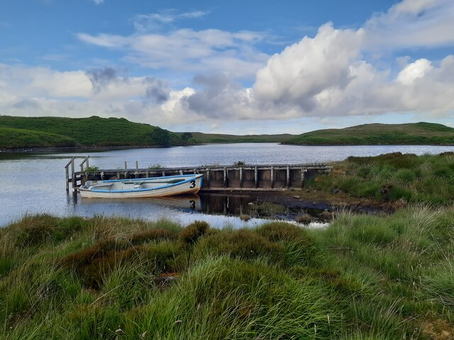
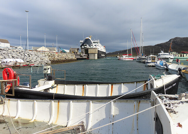
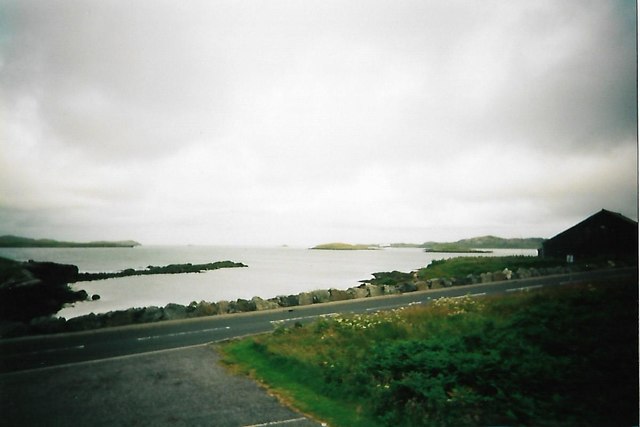
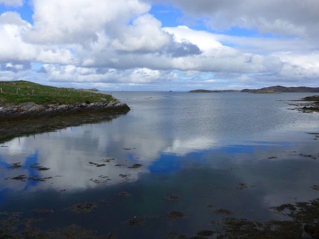
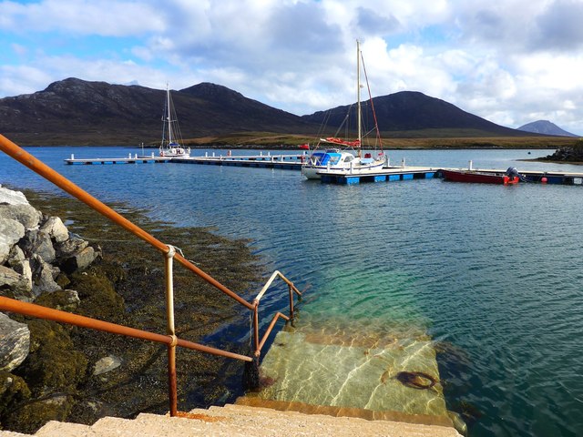
Ob nan Stearnain is a picturesque coastal area located in Inverness-shire, Scotland. Nestled along the eastern coast, it stretches for approximately 2 miles and is characterized by its breathtaking sea views, estuary, and creek.
The area is surrounded by rugged cliffs, which provide a stunning backdrop to the sparkling blue waters of the North Sea. The sea here is known for its wild beauty and is a popular spot for water sports enthusiasts, such as kayaking and surfing. The coastline is dotted with small sandy coves, making it an ideal destination for beach lovers and families looking for a peaceful retreat.
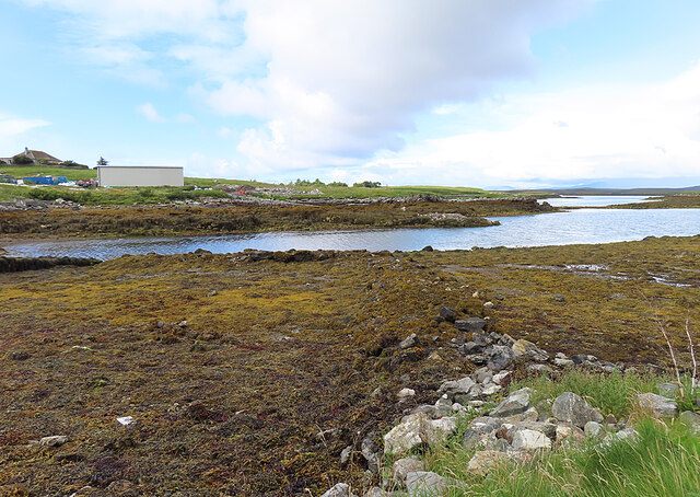
The estuary at Ob nan Stearnain is formed by the convergence of a river and the sea. This unique ecosystem is home to a diverse range of flora and fauna, including various species of birds, fish, and marine life. The estuary is a haven for birdwatchers, who can spot rare species like herons, gulls, and ospreys.
A small creek meanders through the area, providing a tranquil setting for visitors to enjoy nature walks and peaceful boat rides. The creek is also a popular spot for fishing, with anglers often trying their luck to catch salmon and trout.
Ob nan Stearnain offers a perfect blend of natural beauty, outdoor activities, and tranquility. Whether one seeks a thrilling adventure on the sea, a relaxing day on the beach, or a peaceful stroll along the creek, this coastal gem in Inverness-shire has something to offer for everyone.
If you have any feedback on the listing, please let us know in the comments section below.
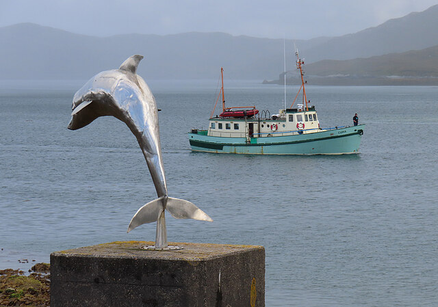
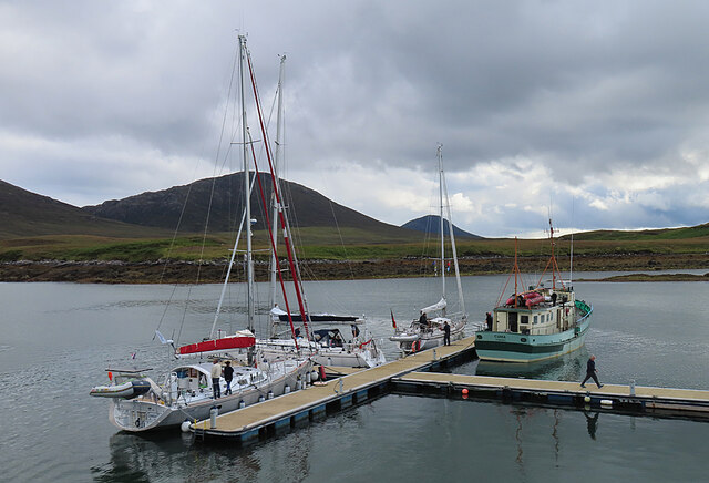
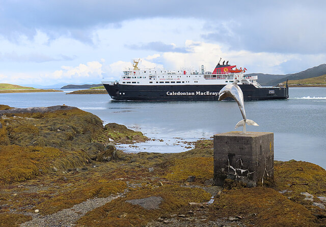
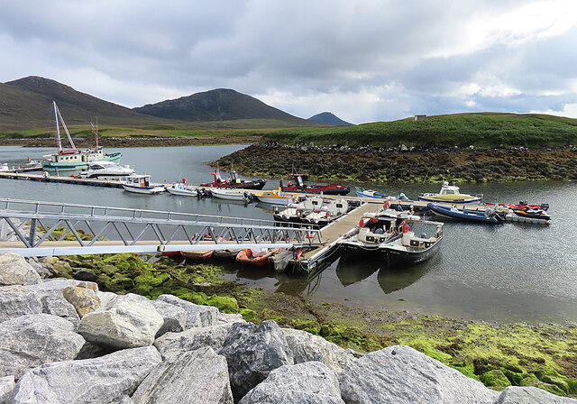
Ob nan Stearnain Images
Images are sourced within 2km of 57.602501/-7.1719808 or Grid Reference NF9168. Thanks to Geograph Open Source API. All images are credited.


Ob nan Stearnain is located at Grid Ref: NF9168 (Lat: 57.602501, Lng: -7.1719808)
Unitary Authority: Na h-Eileanan an Iar
Police Authority: Highlands and Islands
What 3 Words
///soak.accompany.burns. Near Lochmaddy, Na h-Eileanan Siar
Nearby Locations
Related Wikis

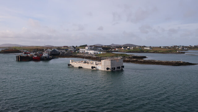
Lochmaddy
Lochmaddy (Scottish Gaelic: Loch nam Madadh [l̪ˠɔx nə ˈmat̪əɣ], "Loch of the Hounds") is the administrative centre of North Uist in the Outer Hebrides...

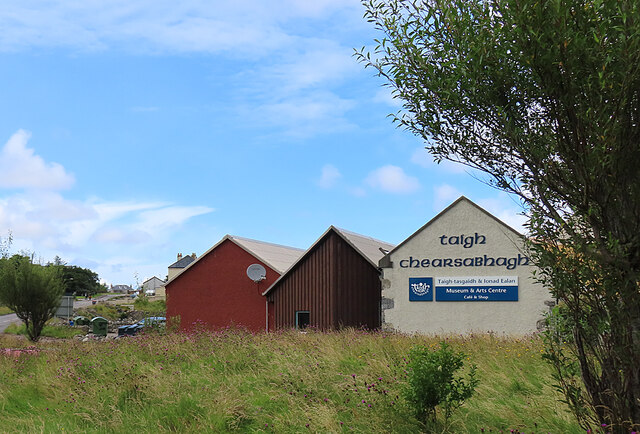
Taigh Chearsabhagh
Taigh Chearsabhagh is an arts centre and museum in Lochmaddy on the island of North Uist, Scotland.Taigh Chearsabhagh was built in 1741 and originally...

Ceallasaigh Beag
Ceallasaigh Beag (or Keallasay Beg) is a low-lying island in Loch Maddy off North Uist in the Outer Hebrides of Scotland. This an area of shallow lagoons...

Ceallasaigh Mòr
Ceallasaigh Mòr (or Keallasay More) is a low-lying island in Loch Maddy off North Uist in the Outer Hebrides of Scotland. This an area of shallow lagoons...
Related Videos
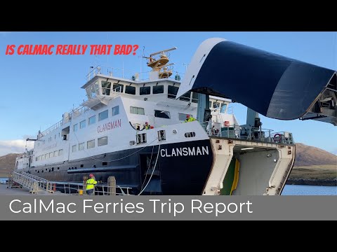
CalMac Ferries of Scotland - Trip Report from MV Clansman
CORRECTION: The Observation Lounge is at the Forward End of Deck 5, not Deck 4 as per the narration. MAY 2023: Caledonian ...

Aerial journey over Lochmaddy, Isle of North Uist, Western Isles
Aerial journey over the northern end of our beautiful village of Lochmaddy taken a couple of years ago; flying eastwards and ...

quick 4k drone flight around lochmaddy ferry terminal
follow me on Instagram https://www.instagram.com/hiking_and_biking/ click below to save on your electricity and gas and get £50 ...
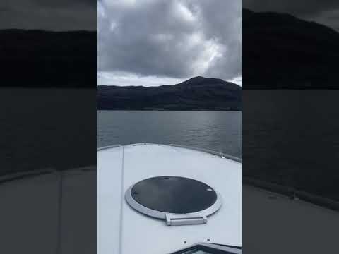
Fourwinns 241 Liberator Lochmaddy North Uist Outer Hebrides boating
fourwinns 241 Liberator OMC 460 king cobra speed was restricted to 40 knots turned out secondary intake was not opening in the ...
Nearby Amenities
Located within 500m of 57.602501,-7.1719808Have you been to Ob nan Stearnain?
Leave your review of Ob nan Stearnain below (or comments, questions and feedback).