Ostrom Bay
Sea, Estuary, Creek in Inverness-shire
Scotland
Ostrom Bay
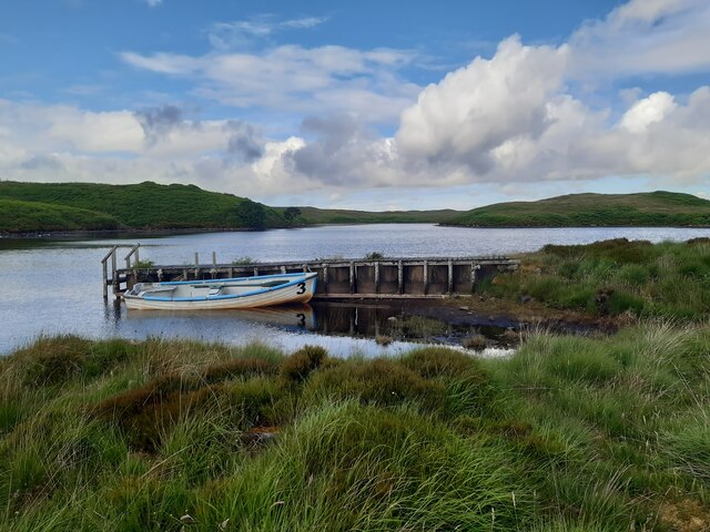
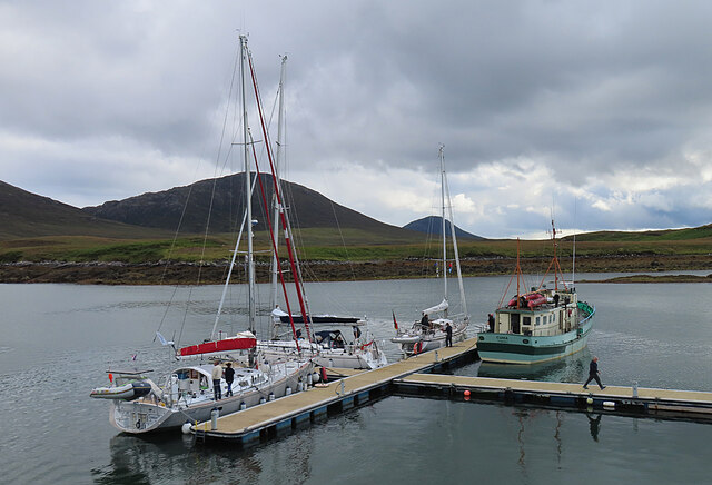
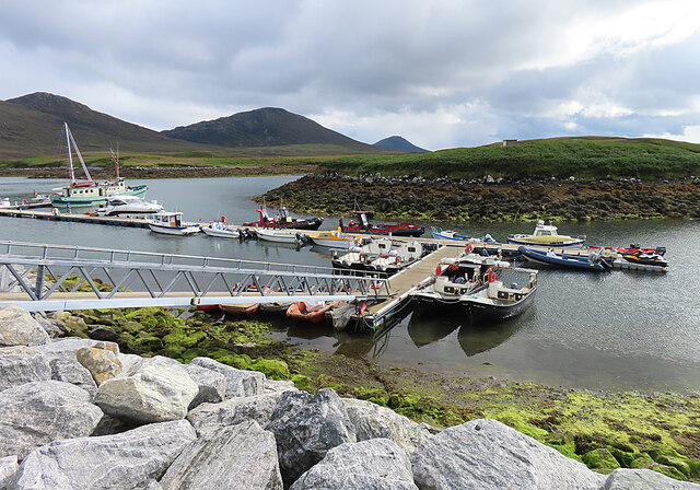
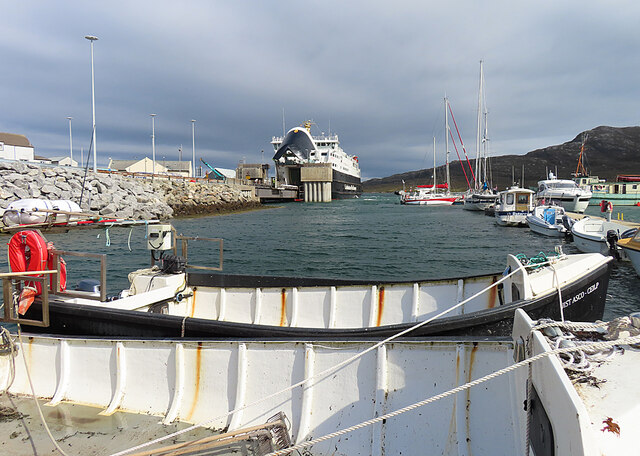
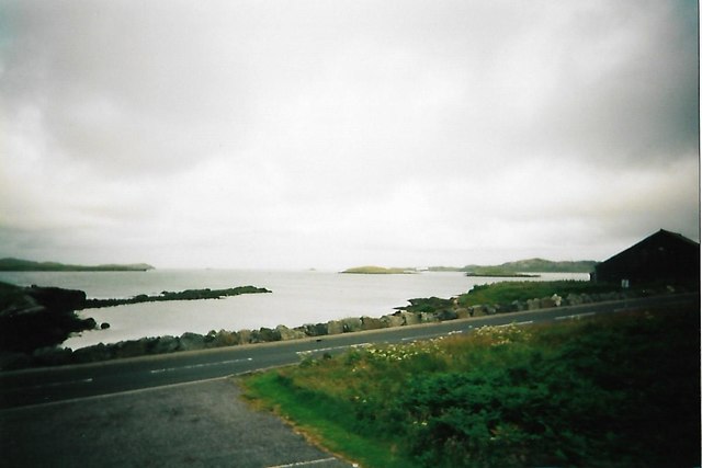
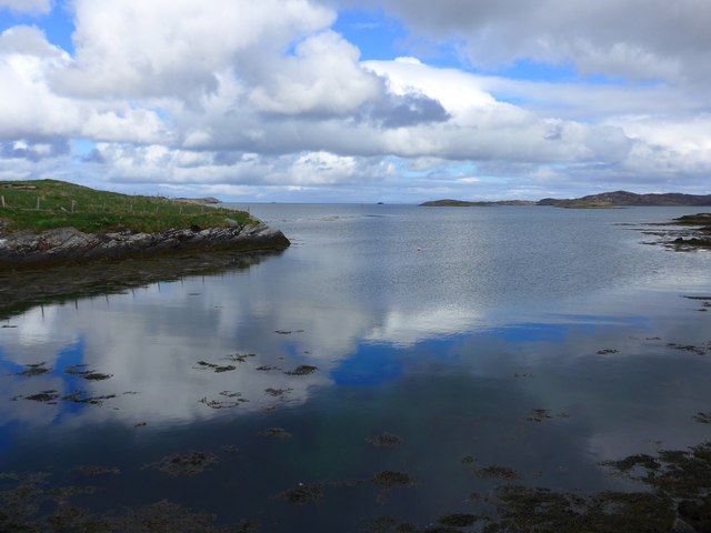
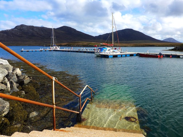
Ostrom Bay is a picturesque coastal area located in Inverness-shire, Scotland. Situated on the west coast of the Scottish Highlands, this bay is renowned for its stunning natural beauty and diverse marine life. It encompasses a sea, estuary, and creek, offering visitors a wealth of opportunities to explore and enjoy the surrounding environment.
The bay itself stretches over several kilometers, providing a haven for a variety of bird species and marine mammals. Its tranquil waters are home to seals, dolphins, and occasional sightings of otters. Bird enthusiasts will delight in the presence of numerous seabirds, including gannets, cormorants, and puffins, making it an ideal spot for birdwatching.
The estuary within Ostrom Bay is a unique ecosystem that experiences tidal changes throughout the day. These tides create a dynamic environment, attracting a wide range of marine life. During low tide, visitors can explore the exposed mudflats, where they may encounter crabs, shellfish, and other fascinating creatures.
A creek meanders through the bay, providing a calm and picturesque setting for leisurely walks. Lined with rocky cliffs and lush vegetation, the creek offers breathtaking views of the surrounding landscape. It is also a popular spot for fishing, with salmon and sea trout being common catches.
Ostrom Bay is a paradise for outdoor enthusiasts, offering opportunities for kayaking, sailing, and coastal walks. Whether you wish to observe the abundant wildlife, soak in the natural beauty, or engage in recreational activities, Ostrom Bay is a must-visit destination for nature lovers and adventure seekers alike.
If you have any feedback on the listing, please let us know in the comments section below.
Ostrom Bay Images
Images are sourced within 2km of 57.60302/-7.1650482 or Grid Reference NF9168. Thanks to Geograph Open Source API. All images are credited.


Ostrom Bay is located at Grid Ref: NF9168 (Lat: 57.60302, Lng: -7.1650482)
Unitary Authority: Na h-Eileanan an Iar
Police Authority: Highlands and Islands
What 3 Words
///glider.vibrates.golden. Near Lochmaddy, Na h-Eileanan Siar
Nearby Locations
Related Wikis

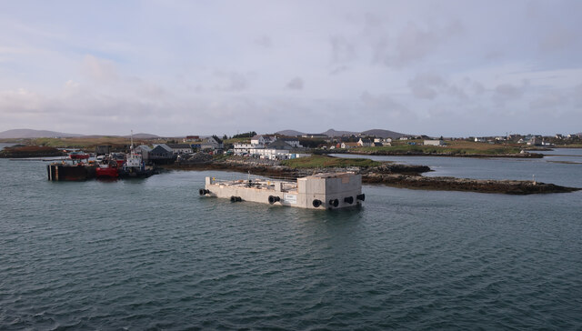
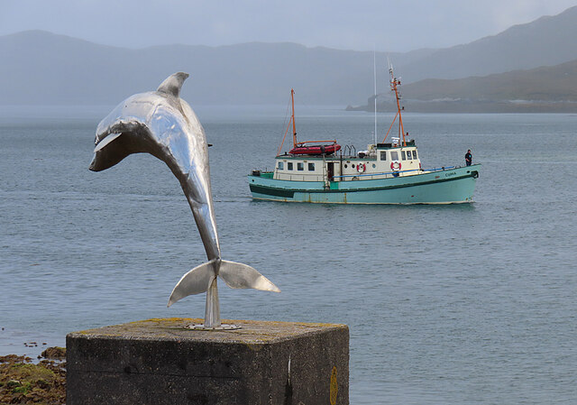
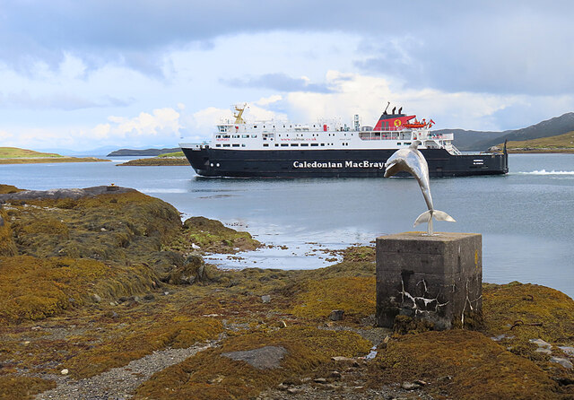
Lochmaddy
Lochmaddy (Scottish Gaelic: Loch nam Madadh [l̪ˠɔx nə ˈmat̪əɣ], "Loch of the Hounds") is the administrative centre of North Uist in the Outer Hebrides...

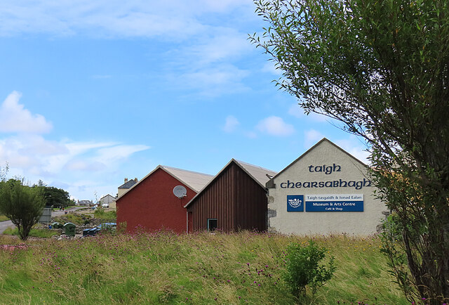
Taigh Chearsabhagh
Taigh Chearsabhagh is an arts centre and museum in Lochmaddy on the island of North Uist, Scotland.Taigh Chearsabhagh was built in 1741 and originally...

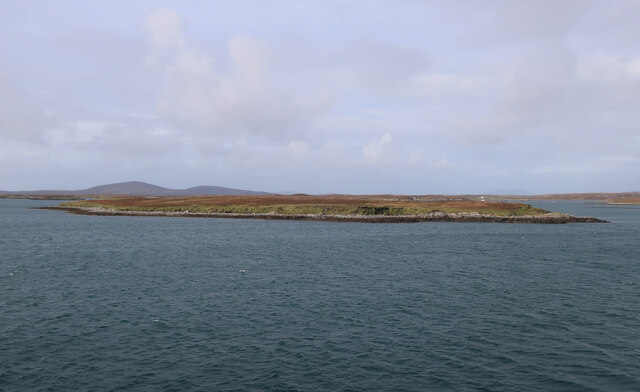
Ceallasaigh Beag
Ceallasaigh Beag (or Keallasay Beg) is a low-lying island in Loch Maddy off North Uist in the Outer Hebrides of Scotland. This an area of shallow lagoons...

Ceallasaigh Mòr
Ceallasaigh Mòr (or Keallasay More) is a low-lying island in Loch Maddy off North Uist in the Outer Hebrides of Scotland. This an area of shallow lagoons...
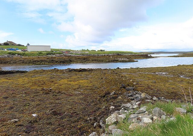
Nearby Amenities
Located within 500m of 57.60302,-7.1650482Have you been to Ostrom Bay?
Leave your review of Ostrom Bay below (or comments, questions and feedback).