Loch Siginis

Sea, Estuary, Creek in Inverness-shire

Scotland

Loch Siginis

Peaty pool by the roadside Cotton grass by the roadside, looking south east towards the hills beyond Lochmaddy.
Peaty pool by the roadside Credit: Gordon Hatton

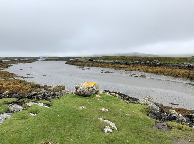
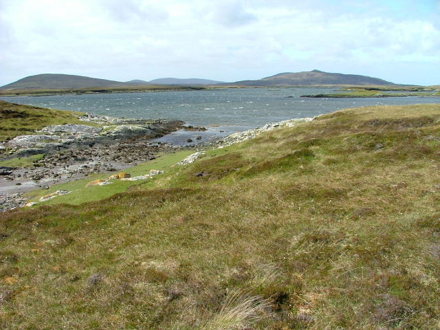
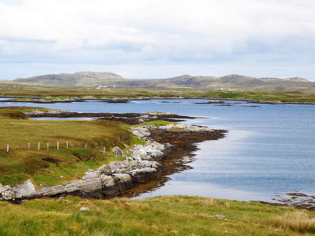
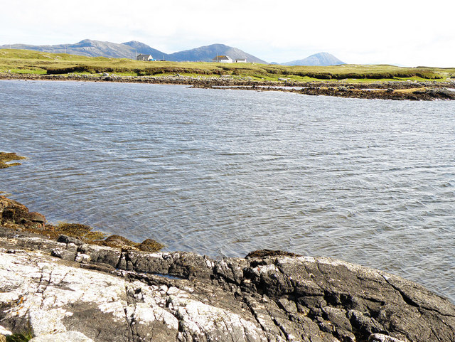
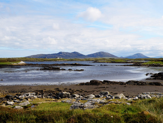
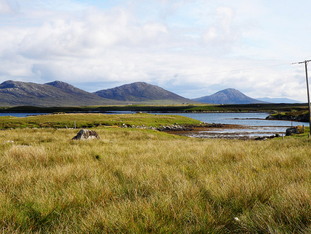
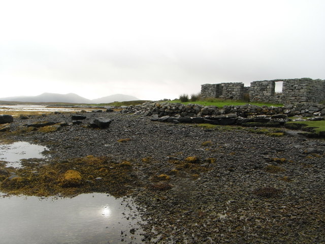
Loch Siginis is a picturesque body of water located in Inverness-shire, Scotland. Nestled between rolling hills and rugged coastline, this sea loch stretches approximately 5 kilometers in length and is known for its stunning natural beauty.

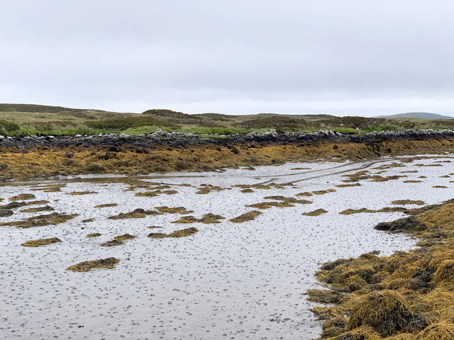
As a sea loch, Loch Siginis is directly connected to the sea, making it an estuary where saltwater mixes with freshwater. This unique combination creates a diverse and thriving ecosystem, attracting a wide array of marine and bird species. The loch is home to various fish species, including salmon and trout, making it a popular destination for anglers.

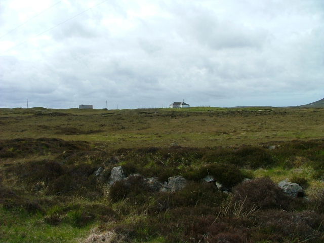
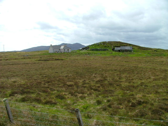
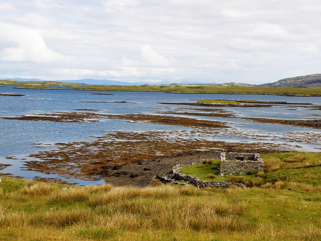
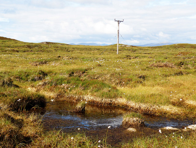
The surrounding landscape of Loch Siginis is characterized by rocky cliffs and lush greenery, adding to its charm and appeal. The loch is also flanked by small sandy beaches and rocky shores, creating a picturesque contrast between the land and the water.

Access to Loch Siginis is relatively easy, with a number of walking trails and viewpoints providing visitors with the opportunity to take in the stunning vistas. Boat trips are also available, offering a unique perspective of the loch and its surrounding scenery.

In terms of amenities, there are a few small villages and towns nearby that offer accommodation, dining, and other services for visitors. Inverness, the largest city in the area, is located a short distance away and provides a wider range of amenities and attractions for those wishing to explore further.

Overall, Loch Siginis is a serene and captivating destination that offers visitors the chance to immerse themselves in Scotland's natural beauty and enjoy a range of outdoor activities in a peaceful and idyllic setting.

If you have any feedback on the listing, please let us know in the comments section below.

Loch Siginis Images

Images are sourced within 2km of 57.634508/-7.1704193 or Grid Reference NF9172. Thanks to Geograph Open Source API. All images are credited.

Peaty pool by the roadside Cotton grass by the roadside, looking south east towards the hills beyond Lochmaddy.
Peaty pool by the roadside
Cotton grass by the roadside, looking south east towards the hills beyond Lochmaddy.
Peat stacks at Stolie Moorland dropping gently to a tidal channel, with Beinn Mhor in the distance.
Peat stacks at Stolie
Moorland dropping gently to a tidal channel, with Beinn Mhor in the distance.
Tidal channels and mud flats Having squeezed into a corner of this square, further progress across the tidal mud flats would appear to be a foolish move. The unnamed islet some 150m away is, according to the OS map, surrounded by sand. In reality it appears to be a rather sicky mud.
Tidal channels and mud flats
Having squeezed into a corner of this square, further progress across the tidal mud flats would appear to be a foolish move. The unnamed islet some 150m away is, according to the OS map, surrounded by sand. In reality it appears to be a rather sicky mud.
A maze of muddy channels Looking east from the Rubha Dubh promontory across a maze of muddy channels, exposed rocks and little islands.
A maze of muddy channels
Looking east from the Rubha Dubh promontory across a maze of muddy channels, exposed rocks and little islands.
Tidal channel from Rubha Dubh There's a maze of muddy tidal channels here. The OS map indicates sand, but only the foolish, or those with chest waders would be tempted to cross these muddy channels.
Tidal channel from Rubha Dubh
There's a maze of muddy tidal channels here. The OS map indicates sand, but only the foolish, or those with chest waders would be tempted to cross these muddy channels.
Tidal channel between Aird Innis and Aird nan Laogh Seen close to low tide. Aird Innis, almost a separate island is on the far side of the mud.
Tidal channel between Aird Innis and Aird nan Laogh
Seen close to low tide. Aird Innis, almost a separate island is on the far side of the mud.
Tidal channel between Aird Innis and Aird nan Laogh Seen close to low tide. Aird Innis, almost a separate island is on the far side of the mud.
Tidal channel between Aird Innis and Aird nan Laogh
Seen close to low tide. Aird Innis, almost a separate island is on the far side of the mud.
Peat Bank By the Lochportain road.
Peat Bank
By the Lochportain road.
Loch Dheoir From the Lochportain road.
Loch Dheoir
From the Lochportain road.
Open Moorland Looking towards houses at Braigh Chalasaigh.
Open Moorland
Looking towards houses at Braigh Chalasaigh.
Croft at Greanacleit By the Lochportain road.
Croft at Greanacleit
By the Lochportain road.
Loch Blathaisbhal In the distance on the left can be seen Crogearraidh na Thabha rising to 154m
Loch Blathaisbhal
In the distance on the left can be seen Crogearraidh na Thabha rising to 154m
Loch Blathaisbhal A ruined house stands on the shore and in the distance can be seen the hills of Skye
Loch Blathaisbhal
A ruined house stands on the shore and in the distance can be seen the hills of Skye
Loch Dheoir In the distance can be seen Li a Tuath (250m), Li a Deas (281m) and Eabhal (347m)
Loch Dheoir
In the distance can be seen Li a Tuath (250m), Li a Deas (281m) and Eabhal (347m)
Loch Dheoir In the distance can be seen Li a Tuath (250m), Li a Deas (281m) and Eabhal (347m)
Loch Dheoir
In the distance can be seen Li a Tuath (250m), Li a Deas (281m) and Eabhal (347m)
Loch Siginis In the distance can be seen Li a Tuath (250m), Li a Deas (281m), Eabhal (347m) and, on South Uist, Thacla (606m)
Loch Siginis
In the distance can be seen Li a Tuath (250m), Li a Deas (281m), Eabhal (347m) and, on South Uist, Thacla (606m)
Electricity Pole Crossing the soggy peat, as seen at the forefront of the photograph
Electricity Pole
Crossing the soggy peat, as seen at the forefront of the photograph
Ruins of a croft house on the shore of Loch Blathaisbhal
Show me another place!

Loch Siginis is located at Grid Ref: NF9172 (Lat: 57.634508, Lng: -7.1704193)

Unitary Authority: Na h-Eileanan an Iar

Police Authority: Highlands and Islands

What 3 Words

///breached.fund.another. Near Lochmaddy, Na h-Eileanan Siar

Related Wikis

Ceallasaigh Mòr

Ceallasaigh Mòr (or Keallasay More) is a low-lying island in Loch Maddy off North Uist in the Outer Hebrides of Scotland. This an area of shallow lagoons...

Ceallasaigh Beag

Ceallasaigh Beag (or Keallasay Beg) is a low-lying island in Loch Maddy off North Uist in the Outer Hebrides of Scotland. This an area of shallow lagoons...

Loch an Duin

Loch an Duin is a complex system of freshwater, brackish and sea lochs, tidal channels and islands, on and close to North Uist off the west coast of Scotland...

Na Fir Bhrèige

Na Fir Bhrèige (pronounced [nə fiɾʲ ˈvɾʲeːkʲə]; can be translated from Gaelic into English as "The False Men") is a set of three standing stones on the...

Nearby Amenities

Located within 500m of 57.634508,-7.1704193
Turning Circle
Turning Circle: hammer
Lat/Long: 57.6362818/-7.1629948
Power: pole
Lat/Long: 57.6366262/-7.1636336
The data included in this document is from www.openstreetmap.org. The data is made available under ODbL.

Have you been to Loch Siginis?

Leave your review of Loch Siginis below (or comments, questions and feedback).