Gunton Denes
Beach in Suffolk East Suffolk
England
Gunton Denes
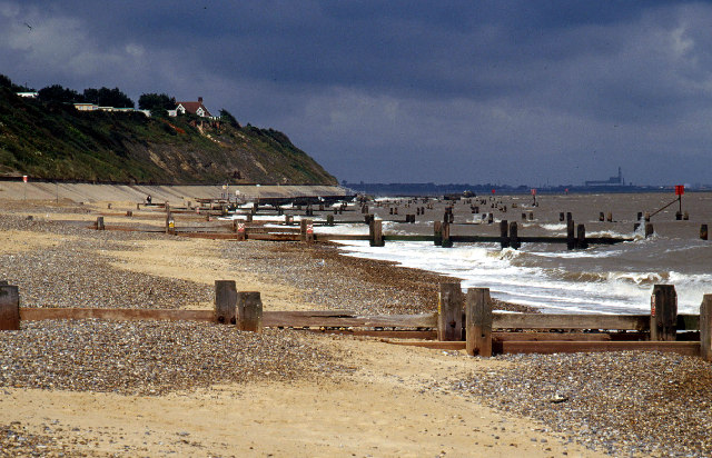
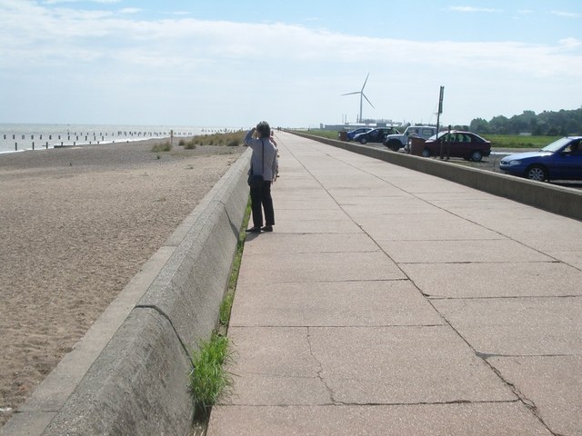
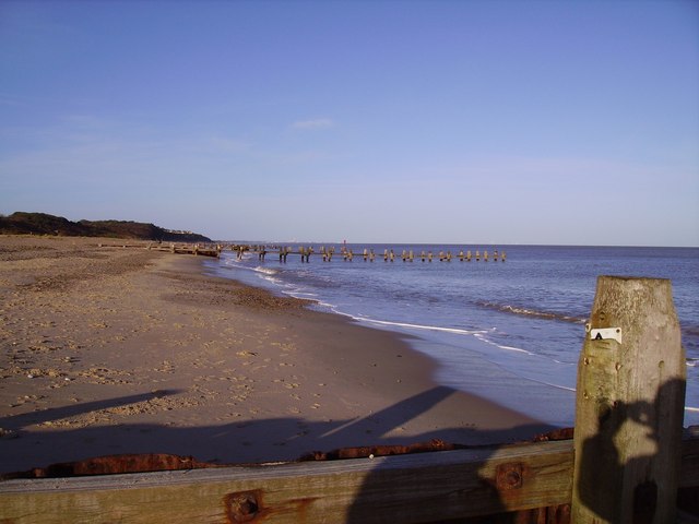
Gunton Denes, located in Suffolk, England, is a picturesque beach renowned for its natural beauty and tranquil surroundings. Situated on the scenic North Sea coast, it offers visitors a wonderful escape from the hustle and bustle of city life.
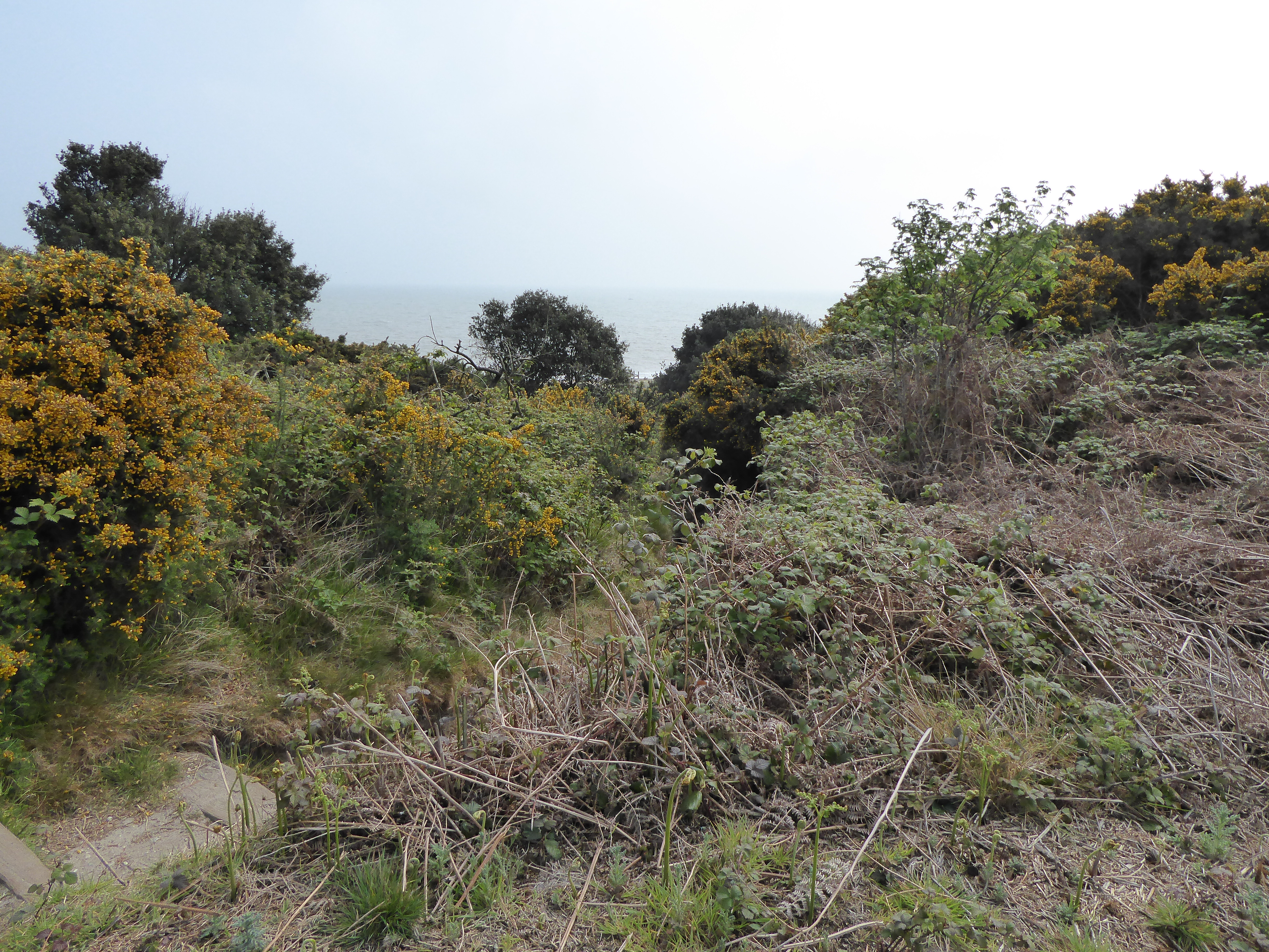
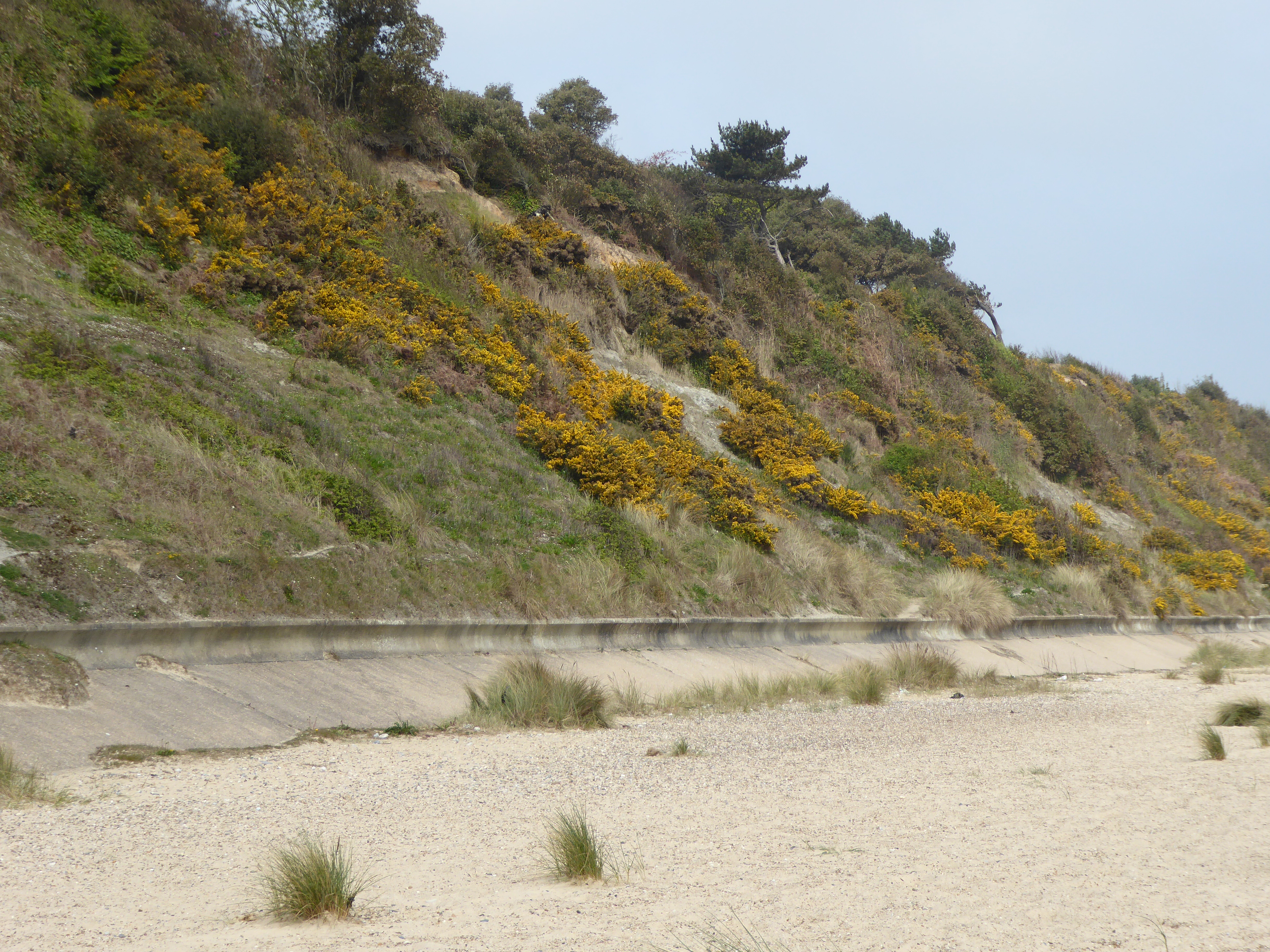
With its extensive stretch of golden sand, Gunton Denes provides ample space for sunbathing, picnicking, and leisurely walks. The beach is backed by low dunes covered in vibrant green grasses and wildflowers, adding to its charm and providing a habitat for various plants and wildlife.
The beach is popular with both locals and tourists, who flock to the area to enjoy the peaceful atmosphere and stunning views. Thanks to its slightly secluded location, Gunton Denes often remains uncrowded, allowing visitors to relax and unwind in a serene environment.
Nature enthusiasts will appreciate the diverse range of bird species that can be spotted along the shoreline, including terns, oystercatchers, and gulls. The beach is also home to a variety of marine life, making it a great spot for rock pooling and exploring the fascinating underwater world.
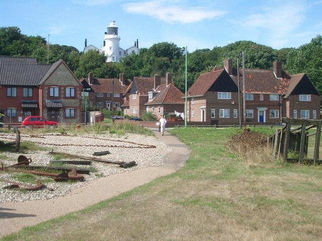
Gunton Denes is well-equipped with facilities to cater to visitors' needs, including parking areas, public toilets, and nearby food and drink options. It is a dog-friendly beach, providing dog owners with the opportunity to enjoy a stroll along the coast with their furry companions.
Overall, Gunton Denes offers a peaceful and idyllic coastal experience, making it a popular destination for those seeking relaxation and natural beauty in Suffolk.
If you have any feedback on the listing, please let us know in the comments section below.
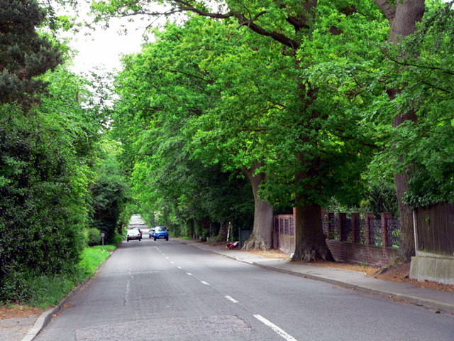
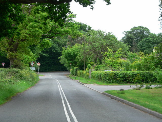
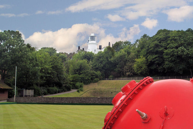
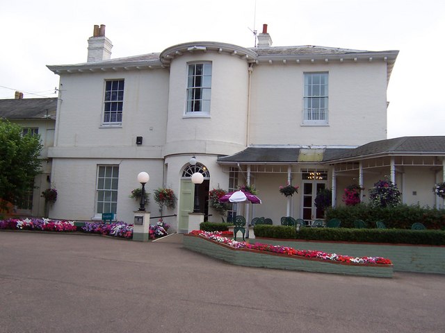
Gunton Denes Images
Images are sourced within 2km of 52.499585/1.755122 or Grid Reference TM5495. Thanks to Geograph Open Source API. All images are credited.


Gunton Denes is located at Grid Ref: TM5495 (Lat: 52.499585, Lng: 1.755122)
Administrative County: Suffolk
District: East Suffolk
Police Authority: Suffolk
What 3 Words
///tells.gold.fits. Near Lowestoft, Suffolk
Nearby Locations
Related Wikis
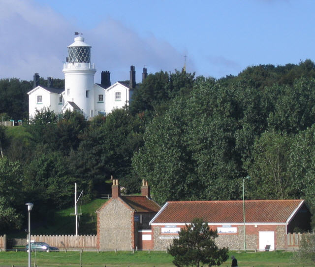
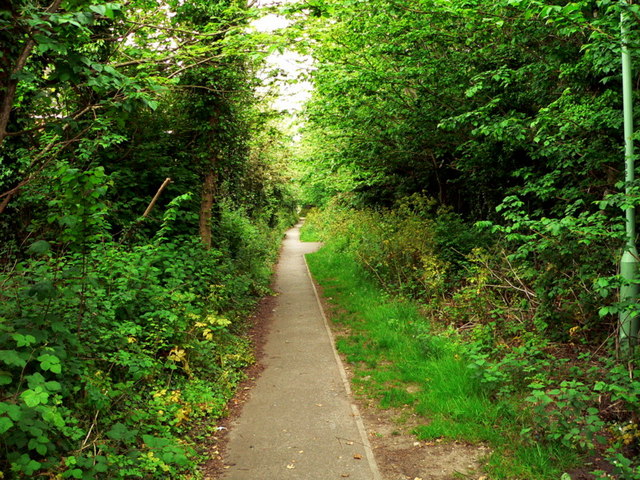
Gunton Warren and Corton Woods
Gunton Warren and Corton Woods is a 31.9 hectare Local Nature Reserve in Lowestoft in Suffolk. The site is owned by Waveney District Council, and Gunton...
Gunton, Suffolk
Gunton is a suburb of Lowestoft, in the East Suffolk district, in the English county of Suffolk. Gunton was a small coastal village, but over the years...

Lowestoft North railway station
Lowestoft North railway station was in Lowestoft, Suffolk, England. It closed in 1970.The station was located just to the east of the A12, opposite the...
Gunton Wood
Gunton Wood is a 2.8 hectare Local Nature Reserve in Lowestoft in Suffolk. It is owned by Waveney District Council and managed by the Gunton Wood Community...
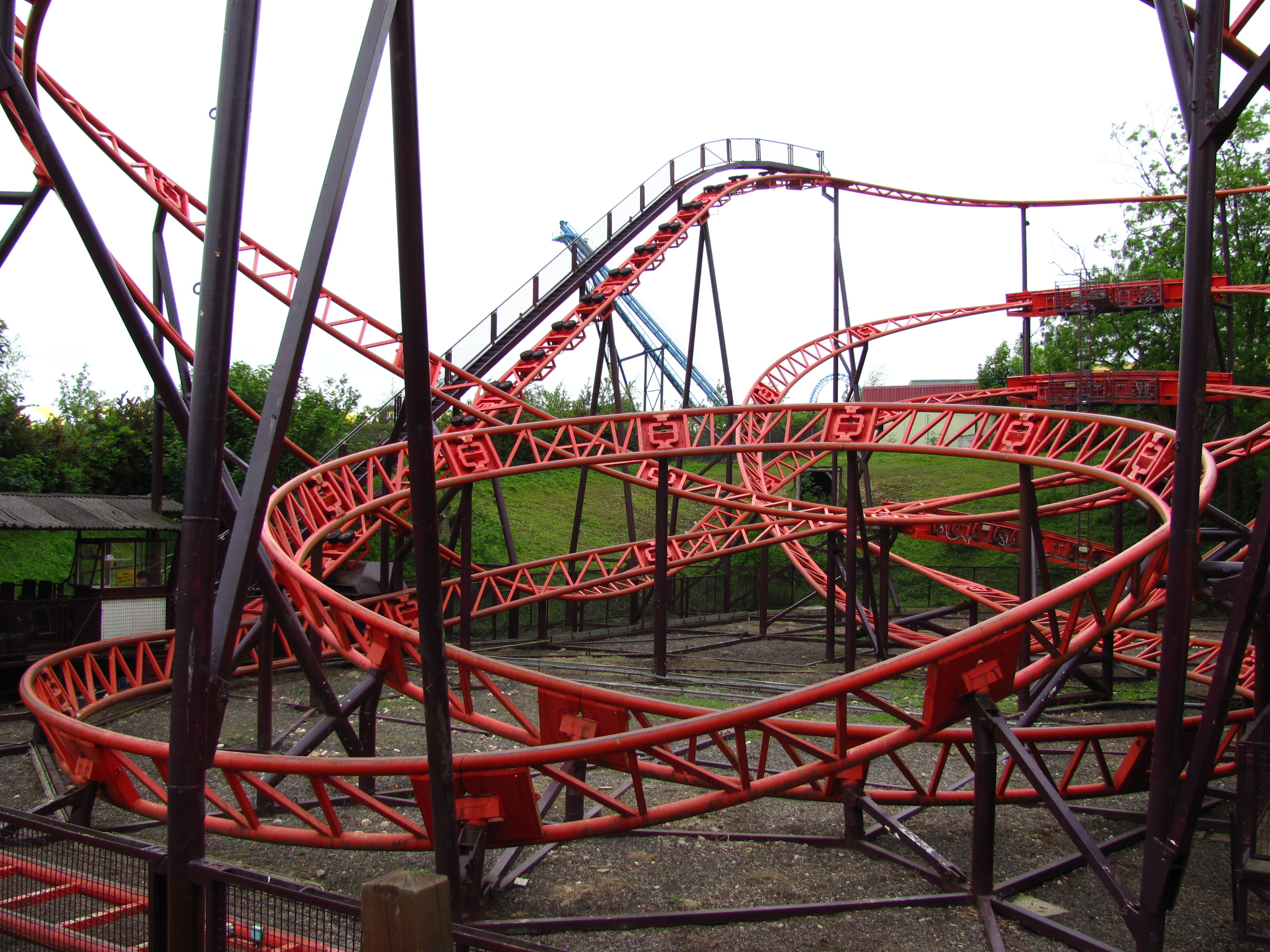
Cannonball Express (roller coaster)
Cannonball Express is a roller coaster located at Pleasurewood Hills, Corton, near Lowestoft, Suffolk. It is the only Schwarzkopf Jumbo V coaster to be...
Corton Cliffs
Corton Cliffs is a 5.5-hectare (14-acre) geological Site of Special Scientific Interest north of Lowestoft in Suffolk. It is a Geological Conservation...

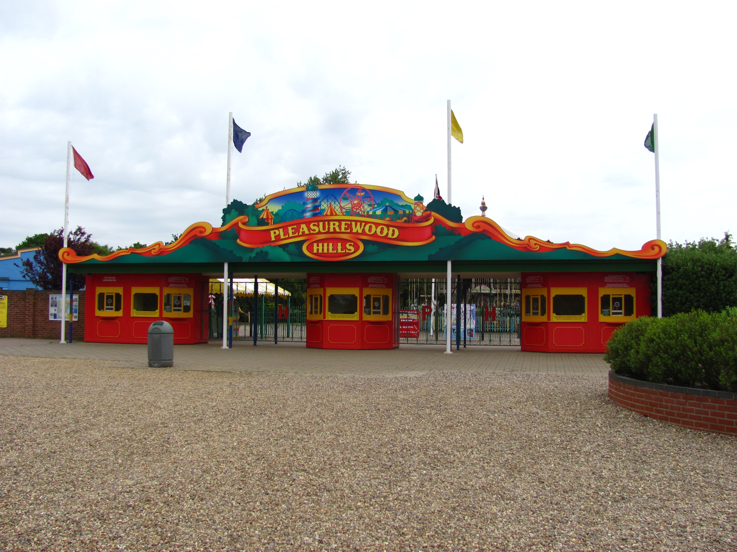
Pleasurewood Hills
Pleasurewood Hills is a theme park on a 59-acre (24 ha) site between Corton and Gunton, near Lowestoft, Suffolk. == History == The park was created by...

Ormiston Denes Academy
Ormiston Denes Academy is a secondary school with academy status located in the northern outskirts of Lowestoft in the English county of Suffolk. It has...
Nearby Amenities
Located within 500m of 52.499585,1.755122Have you been to Gunton Denes?
Leave your review of Gunton Denes below (or comments, questions and feedback).